$4,000 / Month
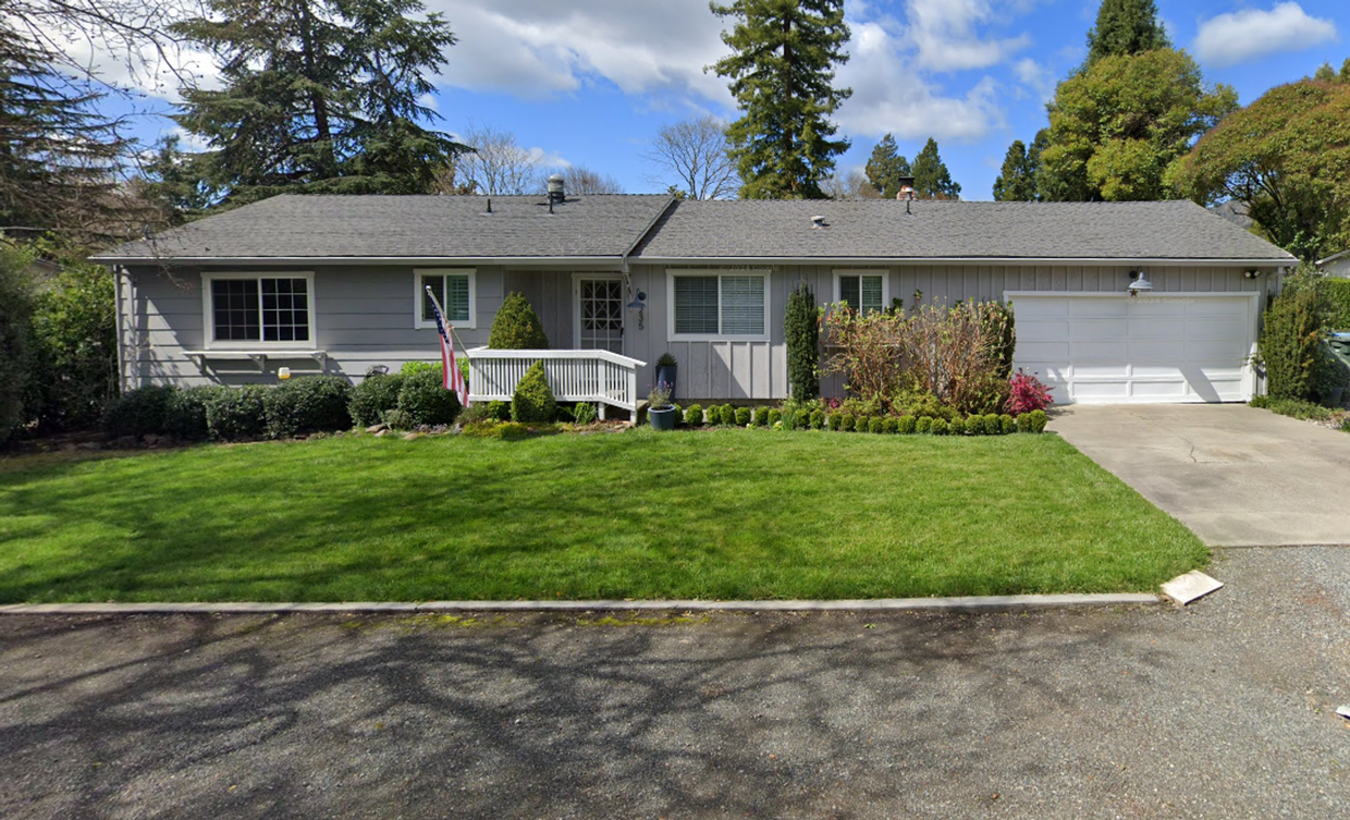
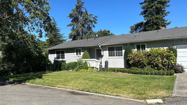
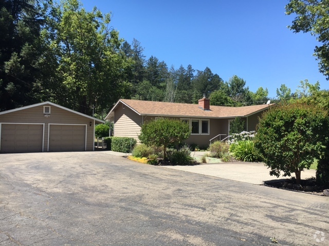
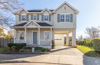
235 Laurel Ave
Kenwood, CA 95452
2 Weeks Ago
Favorites
235 Laurel Ave

Favorites
Check Back Soon for Upcoming Availability
| Beds | Baths | Average SF |
|---|---|---|
| 3 Bedrooms 3 Bedrooms 3 Br | 2 Baths 2 Baths 2 Ba | 1,287 SF |
About This Property
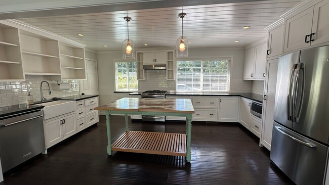
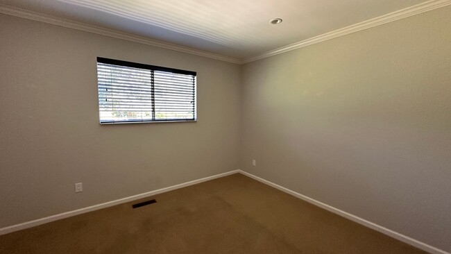
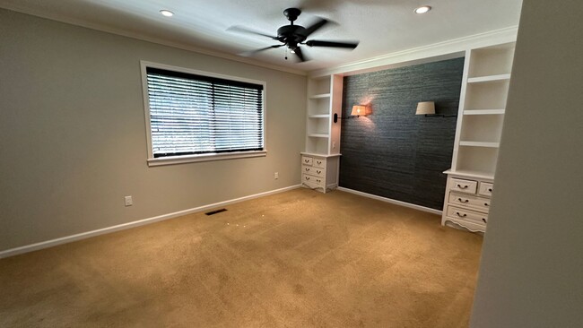
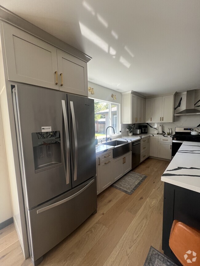
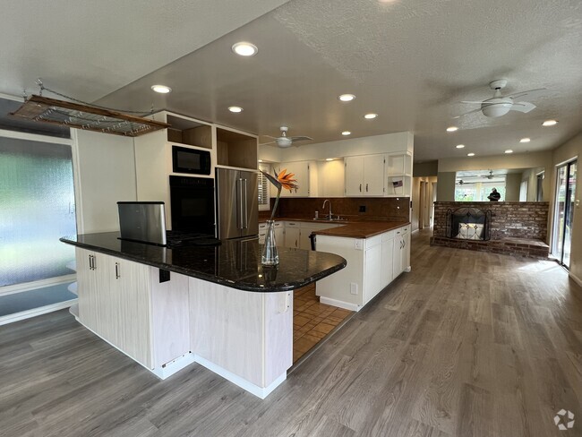
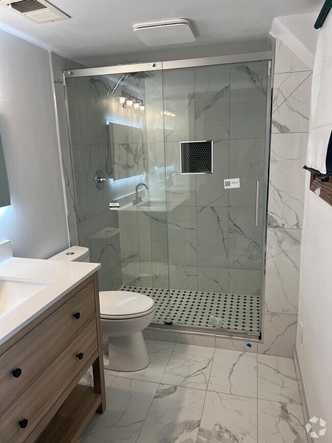
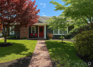
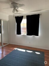
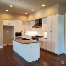
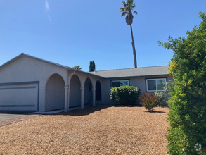
3bd/2ba House Close to Downtown Kenwood! This desirable home features a beautiful, fenced backyard perfect for gatherings and enjoying the outdoors, along with various fruit trees. Biweekly landscaper included. The primary bedroom has a generous walk-in closet. Plank flooring and carpet in bedrooms with a spacious living room that includes a fireplace and French doors leading to the back deck. Water is paid! Lot's of fruit trees & garden beds. The home also includes a washer and dryer, an attached 2-car garage, and a pet is negotiable. No smoking. Available now! Interested parties should drive by first, then call Sonoma Properties at to schedule a tour of the inside. Sonoma Properties DRE Lic. #01931046
235 Laurel Ave is a house located in Sonoma County and the 95452 ZIP Code. This area is served by the Santa Rosa High attendance zone.
Location
Get Directions
Education
| Colleges & Universities | Distance | ||
|---|---|---|---|
| Colleges & Universities | Distance | ||
| Drive: | 21 min | 11.8 mi | |
| Drive: | 32 min | 19.1 mi | |
| Drive: | 41 min | 25.4 mi | |
| Drive: | 40 min | 26.0 mi |
235 Laurel Ave is within 21 minutes or 11.8 miles from Santa Rosa Jr Coll.. It is also near Sonoma State University and Santa Rosa Jr Coll., Petaluma.
Schools


Public Elementary School
Grades K-6
105 Students
Nearby
Public Elementary School
Grades K-6
113 Students
Attendance Zone
Public Middle School
Grades 7-8
786 Students
Attendance Zone
Public High School
Grades 9-12
1,591 Students
Attendance Zone
Private Elementary & Middle School
Grades PK-8
84 Students
Nearby
Private Elementary, Middle & High School
Grades K-12
Nearby
School data provided by
 The GreatSchools Rating helps parents compare schools within a state based on a variety of school quality indicators and provides a helpful picture of how effectively each school serves all of its students. Ratings are on a scale of 1 (below average) to 10 (above average) and can include test scores, college readiness, academic progress, advanced courses, equity, discipline and attendance data. We also advise parents to visit schools, consider other information on school performance and programs, and consider family needs as part of the school selection process.
View GreatSchools Rating Methodology
View GreatSchools Rating Methodology
Transportation options available in Kenwood include Richmond Station, located 48.8 miles from 235 Laurel Ave. 235 Laurel Ave is near Charles M Schulz - Sonoma County, located 18.9 miles or 30 minutes away.
| Transit / Subway | Distance | ||
|---|---|---|---|
| Transit / Subway | Distance | ||
|
|
Drive: | 70 min | 48.8 mi |
| Commuter Rail | Distance | ||
|---|---|---|---|
| Commuter Rail | Distance | ||
| Drive: | 19 min | 11.7 mi | |
| Drive: | 21 min | 12.9 mi | |
| Drive: | 28 min | 18.8 mi | |
| Drive: | 31 min | 20.7 mi | |
| Drive: | 38 min | 27.9 mi |
| Airports | Distance | ||
|---|---|---|---|
| Airports | Distance | ||
|
Charles M Schulz - Sonoma County
|
Drive: | 30 min | 18.9 mi |
Time and distance from 235 Laurel Ave.
| Shopping Centers | Distance | ||
|---|---|---|---|
| Shopping Centers | Distance | ||
| Walk: | 12 min | 0.7 mi | |
| Drive: | 9 min | 5.7 mi | |
| Drive: | 11 min | 6.7 mi |
235 Laurel Ave has 3 shopping centers within 6.7 miles, which is about a 11-minute walk. The miles and minutes will be for the farthest away property.
| Parks and Recreation | Distance | ||
|---|---|---|---|
| Parks and Recreation | Distance | ||
|
Sugarloaf Ridge State Park
|
Drive: | 11 min | 3.5 mi |
|
Quarryhill Botanical Garden
|
Drive: | 6 min | 3.6 mi |
|
Bouverie Preserve
|
Drive: | 7 min | 4.6 mi |
|
Robert Ferguson Observatory
|
Drive: | 17 min | 5.0 mi |
|
Hood Mountain Regional Park
|
Drive: | 21 min | 5.4 mi |
235 Laurel Ave has 5 parks within 5.4 miles, including Sugarloaf Ridge State Park, Quarryhill Botanical Garden, and Bouverie Preserve.
| Hospitals | Distance | ||
|---|---|---|---|
| Hospitals | Distance | ||
| Drive: | 11 min | 6.2 mi | |
| Drive: | 16 min | 10.4 mi | |
| Drive: | 18 min | 10.9 mi |
235 Laurel Ave has 3 hospitals within 10.9 miles, the nearest is Sonoma Developmental Center which is 6.2 miles away and a 11 minute drive.
| Military Bases | Distance | ||
|---|---|---|---|
| Military Bases | Distance | ||
| Drive: | 52 min | 33.7 mi |
235 Laurel Ave is 33.7 miles and a 52 minute drive from Mare Island Naval Reserve.
You May Also Like
Similar Rentals Nearby
What Are Walk Score®, Transit Score®, and Bike Score® Ratings?
Walk Score® measures the walkability of any address. Transit Score® measures access to public transit. Bike Score® measures the bikeability of any address.
What is a Sound Score Rating?
A Sound Score Rating aggregates noise caused by vehicle traffic, airplane traffic and local sources

235 Laurel Ave
Kenwood, CA 95452