

$1,850 / Month
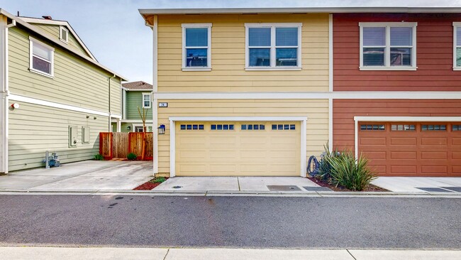
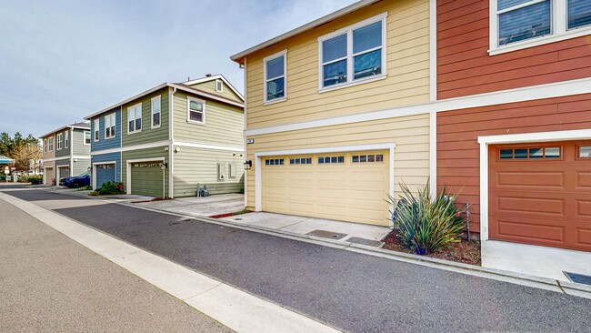
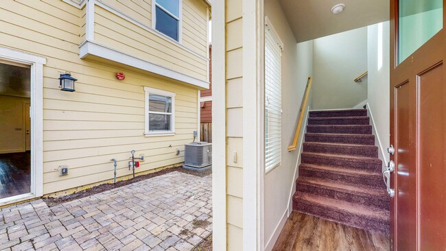
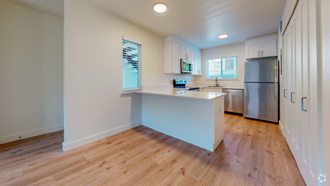
24 Lipton Wy Unit #A
Cotati, CA 94931
Today
Favorites
707-582-8003
-
Bedrooms
1
-
Bathrooms
1
-
Square Feet
550 sq ft
-
Available
Available Now
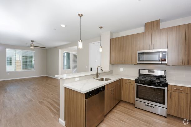
24 Lipton Wy Unit #A

Favorites
Contact
- Listed by Wine | Wine Country Property Management
- Phone Number
- Contact
Location
Get Directions
Located 45 miles north of San Francisco on the 101, Cotati is a charming community on the edge of California’s legendary wine country. The unusual hexagonal-shaped Downtown plaza is surrounded by locally-owned restaurants, bars, and specialty shops, with a few outlying shopping centers along East Cotati Avenue and Old Redwood Highway. Even more shopping and recreation options can be found just north of town in Rohnert Park, home of multiple golf courses, Graton Resort & Casino, and the local multiplex movie theater.
Most of the city’s landscape is covered with suburban neighborhoods interspersed with public parks, providing a tranquil residential environment for the locals. Sonoma State University sits just east of town, serving around 9,000 students and contributing heavily to the community’s culture.
Learn more about living in Cotati
Education
| Colleges & Universities | Distance | ||
|---|---|---|---|
| Colleges & Universities | Distance | ||
| Drive: | 5 min | 2.1 mi | |
| Drive: | 13 min | 6.8 mi | |
| Drive: | 16 min | 10.7 mi | |
| Drive: | 49 min | 30.6 mi |
24 Lipton Wy Unit #A is within 5 minutes or 2.1 miles from Sonoma State University. It is also near Santa Rosa Jr Coll., Petaluma and Santa Rosa Jr Coll..
Transportation options available in Cotati include Richmond Station, located 40.8 miles from 24 Lipton Wy Unit #A. 24 Lipton Wy Unit #A is near Charles M Schulz - Sonoma County, located 16.5 miles or 22 minutes away.
| Transit / Subway | Distance | ||
|---|---|---|---|
| Transit / Subway | Distance | ||
|
|
Drive: | 53 min | 40.8 mi |
|
|
Drive: | 56 min | 42.3 mi |
| Commuter Rail | Distance | ||
|---|---|---|---|
| Commuter Rail | Distance | ||
| Walk: | 8 min | 0.4 mi | |
| Drive: | 5 min | 1.7 mi | |
| Drive: | 12 min | 8.8 mi | |
| Drive: | 13 min | 9.3 mi | |
| Drive: | 15 min | 10.5 mi |
| Airports | Distance | ||
|---|---|---|---|
| Airports | Distance | ||
|
Charles M Schulz - Sonoma County
|
Drive: | 22 min | 16.5 mi |
Time and distance from 24 Lipton Wy Unit #A.
| Shopping Centers | Distance | ||
|---|---|---|---|
| Shopping Centers | Distance | ||
| Walk: | 4 min | 0.2 mi | |
| Walk: | 11 min | 0.6 mi | |
| Walk: | 16 min | 0.8 mi |
24 Lipton Wy Unit #A has 3 shopping centers within 0.8 mile, which is about a 16-minute walk. The miles and minutes will be for the farthest away property.
| Parks and Recreation | Distance | ||
|---|---|---|---|
| Parks and Recreation | Distance | ||
|
Sonoma State Univ. Observatory
|
Drive: | 4 min | 1.6 mi |
|
Crane Creek Regional Park
|
Drive: | 13 min | 5.1 mi |
|
Hunter Creek Trail
|
Drive: | 13 min | 6.0 mi |
|
Colgan Creek Trail
|
Drive: | 10 min | 6.8 mi |
|
Fairfield Osborn Preserve
|
Drive: | 21 min | 7.2 mi |
24 Lipton Wy Unit #A has 5 parks within 7.2 miles, including Sonoma State Univ. Observatory, Crane Creek Regional Park, and Hunter Creek Trail.
| Hospitals | Distance | ||
|---|---|---|---|
| Hospitals | Distance | ||
| Drive: | 13 min | 9.4 mi | |
| Drive: | 13 min | 9.5 mi | |
| Drive: | 14 min | 11.0 mi |
24 Lipton Wy Unit #A has 3 hospitals within 11.0 miles, the nearest is Petaluma Valley Hospital which is 9.4 miles away and a 13 minute drive.
| Military Bases | Distance | ||
|---|---|---|---|
| Military Bases | Distance | ||
| Drive: | 49 min | 34.2 mi |
24 Lipton Wy Unit #A is 34.2 miles and a 49 minute drive from Mare Island Naval Reserve.
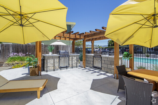
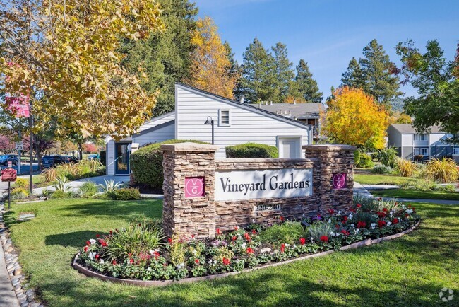
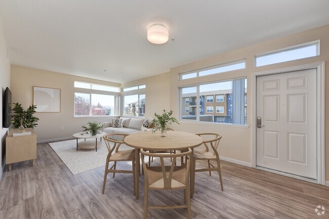
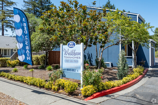
You May Also Like
Similar Rentals Nearby


What Are Walk Score®, Transit Score®, and Bike Score® Ratings?
Walk Score® measures the walkability of any address. Transit Score® measures access to public transit. Bike Score® measures the bikeability of any address.
What is a Sound Score Rating?
A Sound Score Rating aggregates noise caused by vehicle traffic, airplane traffic and local sources
24 Lipton Wy
Cotati, CA 94931