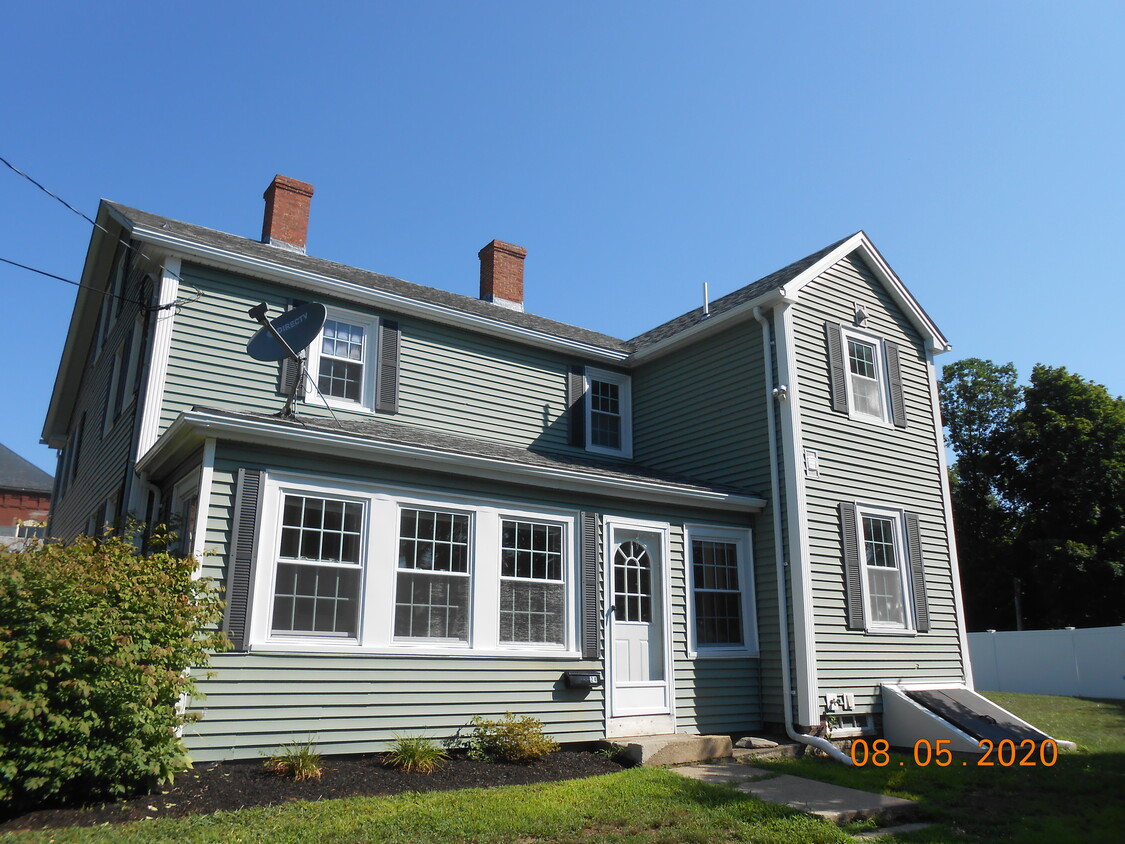
24 School St
24 School St,
Merrimac,
MA
01860
2 Weeks Ago
Favorites
24 School St

Favorites
Check Back Soon for Upcoming Availability
24 School St is an apartment community located in Essex County and the 01860 ZIP Code.
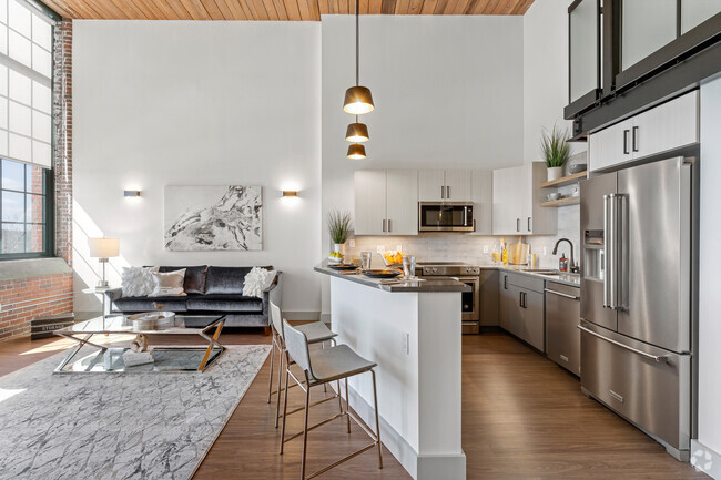
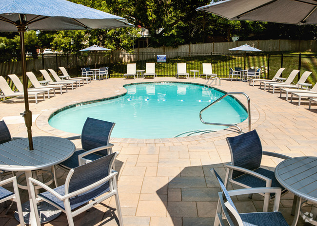
Apartment Features
- Washer/Dryer
- Smoke Free
Fees and Policies
The fees below are based on community-supplied data and may exclude additional fees and utilities.
- Parking
-
Surface Lot--
Details
Lease Options
-
12 Months
Location
Get Directions
Situated between the Merrimack River and the New Hampshire border, Merrimac is a quiet small town in the northeastern stretches of Massachusetts. Merrimac sits within Essex County, offering an array of charming homes for rent along tree-dense thoroughfares.
Merrimac exudes a distinctive small-town atmosphere, with a historic town square centered on Main Street as well as a welcoming community regularly brought together for numerous year-round events and activities. Merrimac’s Main Street is teeming with independent eateries, locally owned shops, and more. Although residents cherish Merrimac’s small-town vibe, the community is less than an hour’s drive from the bright lights of Boston via Interstate 495.
Learn more about living in MerrimacBelow are rent ranges for similar nearby apartments
Amenities
- Washer/Dryer
- Smoke Free
Education
| Colleges & Universities | Distance | ||
|---|---|---|---|
| Colleges & Universities | Distance | ||
| Drive: | 10 min | 5.3 mi | |
| Drive: | 25 min | 17.3 mi | |
| Drive: | 30 min | 19.7 mi | |
| Drive: | 45 min | 29.0 mi |
24 School St is within 10 minutes or 5.3 miles from Northern Essex Comm. Coll.. It is also near Merrimack College and North Shore C.C., Danvers.
Transportation options available in Merrimac include Revere Beach Station, located 34.1 miles from 24 School St. 24 School St is near Portsmouth International at Pease, located 23.8 miles or 33 minutes away, and Manchester Boston Regional, located 37.2 miles or 53 minutes away.
| Transit / Subway | Distance | ||
|---|---|---|---|
| Transit / Subway | Distance | ||
|
|
Drive: | 52 min | 34.1 mi |
|
|
Drive: | 52 min | 34.4 mi |
|
|
Drive: | 47 min | 36.4 mi |
|
|
Drive: | 47 min | 37.8 mi |
| Drive: | 47 min | 37.9 mi |
| Commuter Rail | Distance | ||
|---|---|---|---|
| Commuter Rail | Distance | ||
|
|
Drive: | 12 min | 7.5 mi |
|
|
Drive: | 13 min | 7.9 mi |
|
|
Drive: | 17 min | 9.3 mi |
|
|
Drive: | 27 min | 13.9 mi |
|
|
Drive: | 28 min | 15.0 mi |
| Airports | Distance | ||
|---|---|---|---|
| Airports | Distance | ||
|
Portsmouth International at Pease
|
Drive: | 33 min | 23.8 mi |
|
Manchester Boston Regional
|
Drive: | 53 min | 37.2 mi |
Time and distance from 24 School St.
| Shopping Centers | Distance | ||
|---|---|---|---|
| Shopping Centers | Distance | ||
| Drive: | 8 min | 5.0 mi | |
| Drive: | 12 min | 5.3 mi | |
| Drive: | 14 min | 8.3 mi |
24 School St has 3 shopping centers within 8.3 miles, which is about a 14-minute drive. The miles and minutes will be for the farthest away property.
| Parks and Recreation | Distance | ||
|---|---|---|---|
| Parks and Recreation | Distance | ||
|
Maudslay State Park
|
Drive: | 14 min | 8.3 mi |
|
Bradford Ski Area
|
Drive: | 17 min | 9.6 mi |
|
Thacher Island National Wildlife Refuge
|
Drive: | 19 min | 10.3 mi |
|
Mass Audubon's Joppa Flats Education Center
|
Drive: | 19 min | 10.3 mi |
|
Kingston State Park
|
Drive: | 27 min | 10.4 mi |
24 School St has 5 parks within 10.4 miles, including Maudslay State Park, Bradford Ski Area, and Kingston State Park.
| Hospitals | Distance | ||
|---|---|---|---|
| Hospitals | Distance | ||
| Drive: | 11 min | 7.0 mi | |
| Drive: | 14 min | 7.7 mi | |
| Drive: | 23 min | 13.8 mi |
24 School St has 3 hospitals within 13.8 miles, the nearest is Whittier Pavilion which is 7.0 miles away and a 11 minute drive.
| Military Bases | Distance | ||
|---|---|---|---|
| Military Bases | Distance | ||
| Drive: | 34 min | 24.1 mi | |
| Drive: | 37 min | 25.9 mi | |
| Drive: | 47 min | 28.1 mi |
24 School St has 3 military bases within 28.1 miles, the nearest is Pease Air Force Base which is 24.1 miles away and a 34 minute drive.
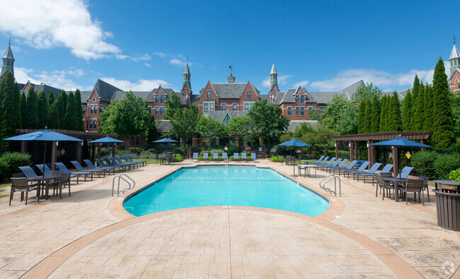
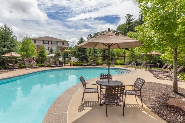
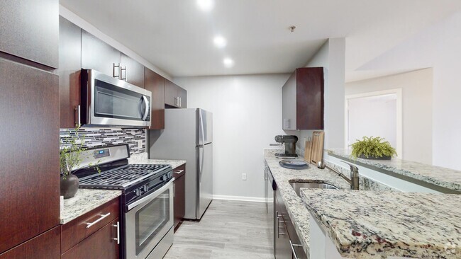
You May Also Like
Similar Rentals Nearby


What Are Walk Score®, Transit Score®, and Bike Score® Ratings?
Walk Score® measures the walkability of any address. Transit Score® measures access to public transit. Bike Score® measures the bikeability of any address.
What is a Sound Score Rating?
A Sound Score Rating aggregates noise caused by vehicle traffic, airplane traffic and local sources