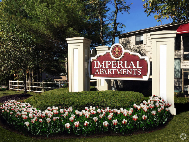
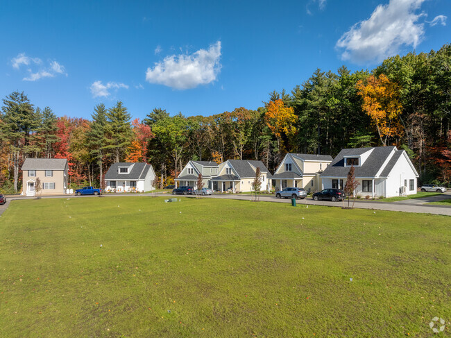
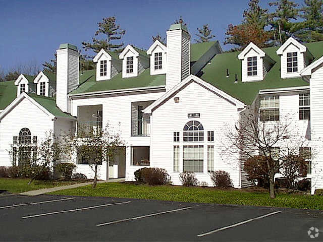
24 Walbridge Rd
24 Walbridge Rd,
Paxton,
MA
01612
2 Weeks Ago
Favorites
24 Walbridge Rd

Favorites
Check Back Soon for Upcoming Availability
About 24 Walbridge Rd Paxton, MA 01612
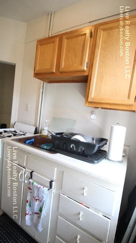
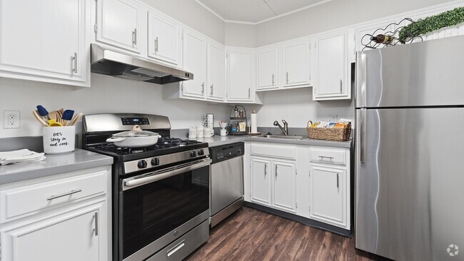
INCREDIBLE STUDIO~LAUNDRY IN BLDG~STORAGE Allston is a neighborhood of Boston Massachusetts. According to census figures over half of the population of Allston is aged 20-34 which is a clear indication of the strong young professional and college student presence. Nearby you will find Boston University, Boston College, MIT, Harvard University and Northeastern. The busiest part of the neighborhood is the stretch of Harvard Avenue between Commonwealth Avenue and Cambridge Street. It is here you will find many shops, bars and restaurants. The "B" Branch of the Boston MBTA subway Green Line runs through the neighborhood along Commonwealth Avenue. ***CONTACT ME TODAY FOR MORE INFO!!***
24 Walbridge Rd is an apartment community located in Worcester County and the 01612 ZIP Code.
Location
Get Directions
Education
| Colleges & Universities | Distance | ||
|---|---|---|---|
| Colleges & Universities | Distance | ||
| Drive: | 8 min | 4.2 mi | |
| Drive: | 12 min | 5.3 mi | |
| Drive: | 10 min | 5.3 mi | |
| Drive: | 11 min | 5.9 mi |
24 Walbridge Rd is within 10 minutes or 5.3 miles from Becker College, Leicester. It is also near Worcester State University and Assumption College.
Transportation options available in Paxton include Riverside Station, located 40.0 miles from 24 Walbridge Rd. 24 Walbridge Rd is near Worcester Regional, located 3.0 miles or 8 minutes away.
| Transit / Subway | Distance | ||
|---|---|---|---|
| Transit / Subway | Distance | ||
|
|
Drive: | 56 min | 40.0 mi |
|
|
Drive: | 56 min | 40.3 mi |
|
|
Drive: | 57 min | 41.0 mi |
|
|
Drive: | 59 min | 42.6 mi |
| Commuter Rail | Distance | ||
|---|---|---|---|
| Commuter Rail | Distance | ||
|
|
Drive: | 11 min | 6.6 mi |
|
|
Drive: | 12 min | 6.8 mi |
|
|
Drive: | 24 min | 14.1 mi |
|
|
Drive: | 26 min | 14.8 mi |
| Drive: | 43 min | 27.0 mi |
| Airports | Distance | ||
|---|---|---|---|
| Airports | Distance | ||
|
Worcester Regional
|
Drive: | 8 min | 3.0 mi |
Time and distance from 24 Walbridge Rd.
| Shopping Centers | Distance | ||
|---|---|---|---|
| Shopping Centers | Distance | ||
| Drive: | 6 min | 3.1 mi | |
| Drive: | 5 min | 3.1 mi | |
| Drive: | 10 min | 5.4 mi |
24 Walbridge Rd has 3 shopping centers within 5.4 miles, which is about a 10-minute drive. The miles and minutes will be for the farthest away property.
| Parks and Recreation | Distance | ||
|---|---|---|---|
| Parks and Recreation | Distance | ||
|
Moore State Park
|
Drive: | 9 min | 3.8 mi |
|
Quinsigamond State Park
|
Drive: | 15 min | 8.3 mi |
|
EcoTarium
|
Drive: | 17 min | 8.4 mi |
|
Mass Audubon's Eagle Lake Wildlife Sanctuary
|
Drive: | 19 min | 8.6 mi |
|
Spencer State Forest
|
Drive: | 26 min | 12.3 mi |
24 Walbridge Rd has 5 parks within 12.3 miles, including Moore State Park, Mass Audubon's Eagle Lake Wildlife Sanctuary, and EcoTarium.
| Hospitals | Distance | ||
|---|---|---|---|
| Hospitals | Distance | ||
| Drive: | 11 min | 6.4 mi | |
| Drive: | 12 min | 6.9 mi | |
| Drive: | 15 min | 8.3 mi |
24 Walbridge Rd has 3 hospitals within 8.3 miles, the nearest is Adcare Hospital of Worcester which is 6.4 miles away and a 11 minute drive.
You May Also Like
Similar Rentals Nearby


What Are Walk Score®, Transit Score®, and Bike Score® Ratings?
Walk Score® measures the walkability of any address. Transit Score® measures access to public transit. Bike Score® measures the bikeability of any address.
What is a Sound Score Rating?
A Sound Score Rating aggregates noise caused by vehicle traffic, airplane traffic and local sources