
$1,650 / Month
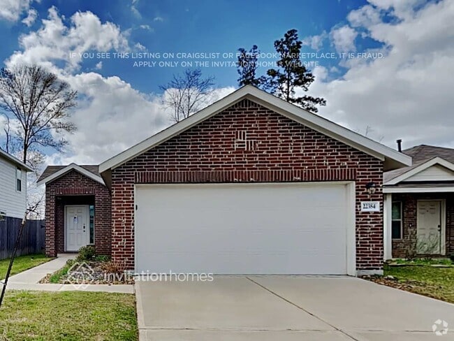
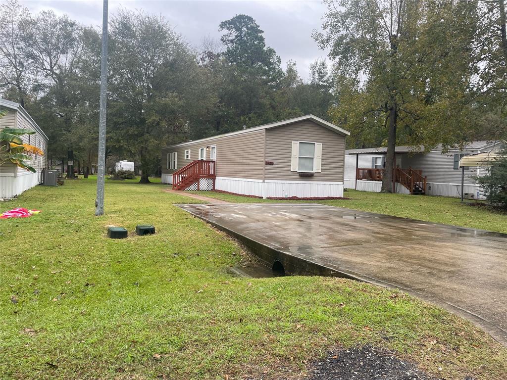
24029 Cherokee Trace
Porter, TX 77365
Today
Favorites
832-284-1130
-
Bedrooms
3
-
Bathrooms
2
-
Square Feet
--
-
Available
Available Now
Highlights
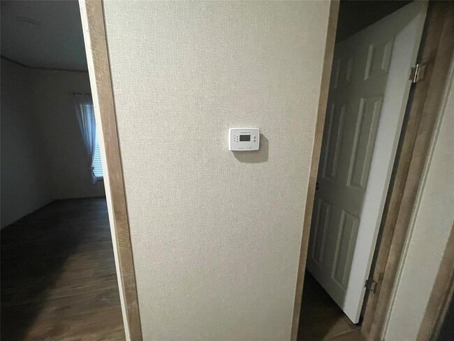
- Central Heating and Cooling System
- 1 Car Garage
24029 Cherokee Trace

Favorites
24029 Cherokee Trace is a house located in Montgomery County and the 77365 ZIP Code. This area is served by the New Caney Independent attendance zone.
* Price shown is base rent and may not include non-optional fees and utilities.
Price, availability, fees, and any applicable rent special are subject to change without notice.
* Square footage definitions vary. Displayed square footage is approximate.
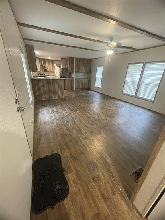
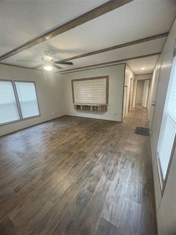
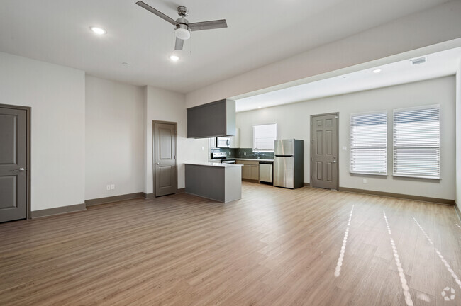
Home Details
Home Type
Manufactured Home
Year Built
Built in 2021
Bedrooms and Bathrooms
2 Full Bathrooms
3 Bedrooms
Interior Spaces
1,216 Sq Ft Home
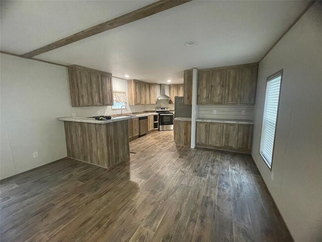
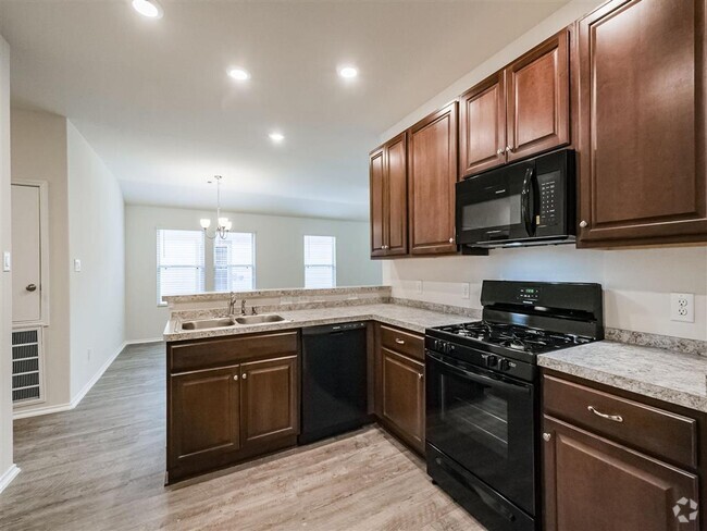
Kitchen
Electric Cooktop
Electric Oven
Laundry
Dryer
Washer
Listing and Financial Details
Property Available on 12/20/24
Long Term Lease
Parking
1 Car Garage
Schools
Porter Elementary School
Woodridge Forest Middle School
West Fork High School
Utilities
Central Heating and Cooling System
Community Details
Overview
Cherokee Trace Subdivision
Pet Policy
No Pets Allowed
Contact
- Listed by Malika Tookes | NB Elite Realty
- Phone Number (832) 284-1130
- Contact
-
Source
 Houston Association of REALTORS®
Copyright © 2025 Houston Association of Realtors. All rights reserved. All information provided by the listing agent/broker is deemed reliable but is not guaranteed and should be independently verified.
$1,764 / month
$245,000 Listing Price
3 Beds
•2 Baths
•
1,346 Sq Ft
$1,843 / month
$274,490 Listing Price
3 Beds
•2.5 Baths
•
1,826 Sq Ft
$1,763 / month
$261,990 Listing Price
3 Beds
•2 Baths
•
1,412 Sq Ft
Location
Get Directions
Amenities
- Smoke Free
Called the “livable forest” for its abundant woods, Spring's Porter Heights/Woodbranch neighborhood sits midway between Houston and the expansive Sam Houston National Forest. The area features over 500 acres of parks and nature preserves, such as Peckinpaugh Preserve and Spring Creek Greenway Nature Center. Residents enjoy easy access to shopping centers like Valley Ranch Marketplace and a variety of dining options. The area is car-dependent, making major roadways like US-59 essential for commuting, with Downtown Houston just a 40-minute drive away. Lone Star College serves as a significant educational hub, contributing to the community's vibrant learning environment.
Many residents commute to nearby cities for work, taking advantage of the Houston Metro Park and Ride service to avoid rush-hour traffic. The neighborhood's history is rooted in its development as a master-planned community, maintaining its identity with annual events like the Mardi Gras Parade.
Learn more about living in Porter Heights/Woodbranch
Education
| Colleges & Universities | Distance | ||
|---|---|---|---|
| Colleges & Universities | Distance | ||
| Drive: | 39 min | 23.4 mi | |
| Drive: | 37 min | 25.5 mi | |
| Drive: | 38 min | 28.1 mi | |
| Drive: | 41 min | 30.5 mi |
24029 Cherokee Trace is within 37 minutes or 25.5 miles from Lone Star College. It is also near San Jacinto College, North and Univ. of Houston, Downtown.
Schools
Public Elementary School
Grades PK-5
792 Students
Attendance Zone
4
Out of 10
Public Middle School
Grades 6-8
1,288 Students
Attendance Zone
5
Out of 10
Public High School
Grades 9-12
2,209 Students
Attendance Zone
3
Out of 10
Private Elementary & Middle School
Grades PK-8
453 Students
Nearby
Private Middle & High School
Grades 8-11
17 Students
Nearby
School data provided by
GreatSchools
The GreatSchools Rating helps parents compare schools within a state based on a variety of school quality indicators and provides a helpful picture of how effectively each school serves all of its students. Ratings are on a scale of 1 (below average) to 10 (above average) and can include test scores, college readiness, academic progress, advanced courses, equity, discipline and attendance data. We also advise parents to visit schools, consider other information on school performance and programs, and consider family needs as part of the school selection process.
Transportation options available in Porter include Northline Transit Center / Hcc, located 24.5 miles from 24029 Cherokee Trace. 24029 Cherokee Trace is near George Bush Intcntl/Houston, located 18.3 miles or 26 minutes away, and William P Hobby, located 39.9 miles or 58 minutes away.
| Transit / Subway | Distance | ||
|---|---|---|---|
| Transit / Subway | Distance | ||
|
|
Drive: | 34 min | 24.5 mi |
|
|
Drive: | 35 min | 26.3 mi |
|
|
Drive: | 36 min | 26.5 mi |
|
|
Drive: | 35 min | 26.6 mi |
|
|
Drive: | 35 min | 26.7 mi |
| Commuter Rail | Distance | ||
|---|---|---|---|
| Commuter Rail | Distance | ||
|
|
Drive: | 39 min | 28.9 mi |
| Airports | Distance | ||
|---|---|---|---|
| Airports | Distance | ||
|
George Bush Intcntl/Houston
|
Drive: | 26 min | 18.3 mi |
|
William P Hobby
|
Drive: | 58 min | 39.9 mi |
Time and distance from 24029 Cherokee Trace.
| Shopping Centers | Distance | ||
|---|---|---|---|
| Shopping Centers | Distance | ||
| Drive: | 5 min | 2.5 mi | |
| Drive: | 5 min | 2.5 mi | |
| Drive: | 6 min | 3.3 mi |
24029 Cherokee Trace has 3 shopping centers within 3.3 miles, which is about a 6-minute drive. The miles and minutes will be for the farthest away property.
| Parks and Recreation | Distance | ||
|---|---|---|---|
| Parks and Recreation | Distance | ||
|
Lake Houston Wilderness Park
|
Drive: | 22 min | 11.0 mi |
|
Jesse H. Jones Park & Nature Center
|
Drive: | 20 min | 12.6 mi |
24029 Cherokee Trace has 2 parks within 12.6 miles, including Jesse H. Jones Park & Nature Center, and Lake Houston Wilderness Park.
| Hospitals | Distance | ||
|---|---|---|---|
| Hospitals | Distance | ||
| Drive: | 11 min | 6.1 mi | |
| Drive: | 13 min | 6.7 mi | |
| Drive: | 15 min | 10.7 mi |
24029 Cherokee Trace has 3 hospitals within 10.7 miles, the nearest is Memorial Hermann Surgical Hospital Kingwood which is 6.1 miles away and a 11 minute drive.
| Military Bases | Distance | ||
|---|---|---|---|
| Military Bases | Distance | ||
| Drive: | 71 min | 53.3 mi | |
| Drive: | 100 min | 78.9 mi |
24029 Cherokee Trace is 53.3 miles from Lyndon B Johnson Space Center, and is convenient to other military bases, including Pelican Spit Military Reservation.
You May Also Like
Similar Rentals Nearby
-
-
-
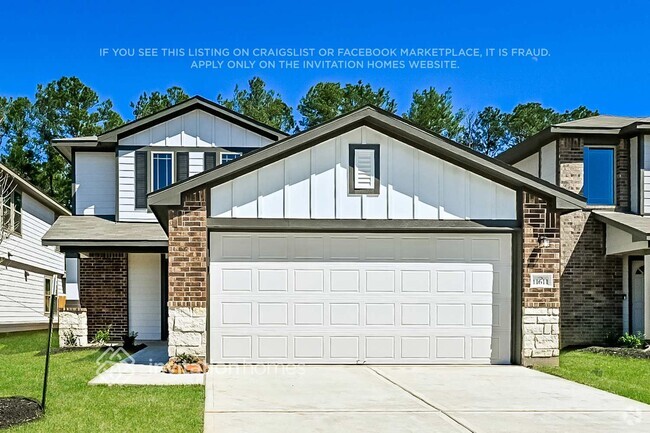
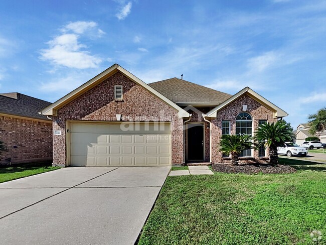
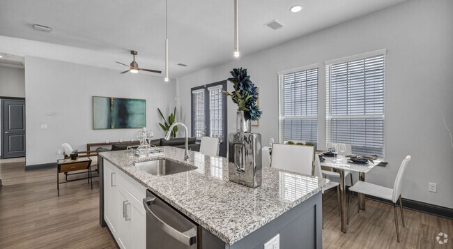
Single-Family Homes 2 Months Free
Pets Allowed Fitness Center Pool Dishwasher Refrigerator Kitchen
-
1 / 239
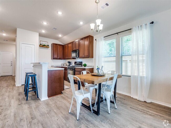
 Single-Family Homes Discounts
Pets Allowed Patio Ceiling Fans Playground Washer & Dryer Hookups Yard
-
Single-Family Homes Discounts
Pets Allowed Range Maintenance on site Microwave Heat Ceiling Fans
-
-
-
-
-

What Are Walk Score®, Transit Score®, and Bike Score® Ratings?
Walk Score® measures the walkability of any address. Transit Score® measures access to public transit. Bike Score® measures the bikeability of any address.
What is a Sound Score Rating?
A Sound Score Rating aggregates noise caused by vehicle traffic, airplane traffic and local sources
24029 Cherokee Trace
Porter, TX 77365