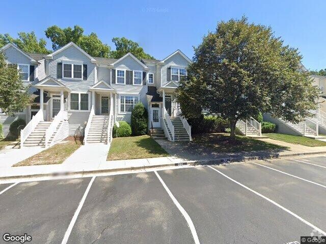
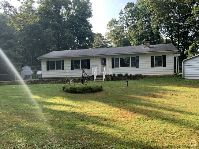
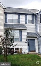
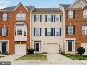
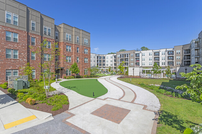
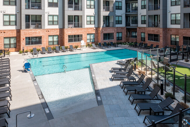
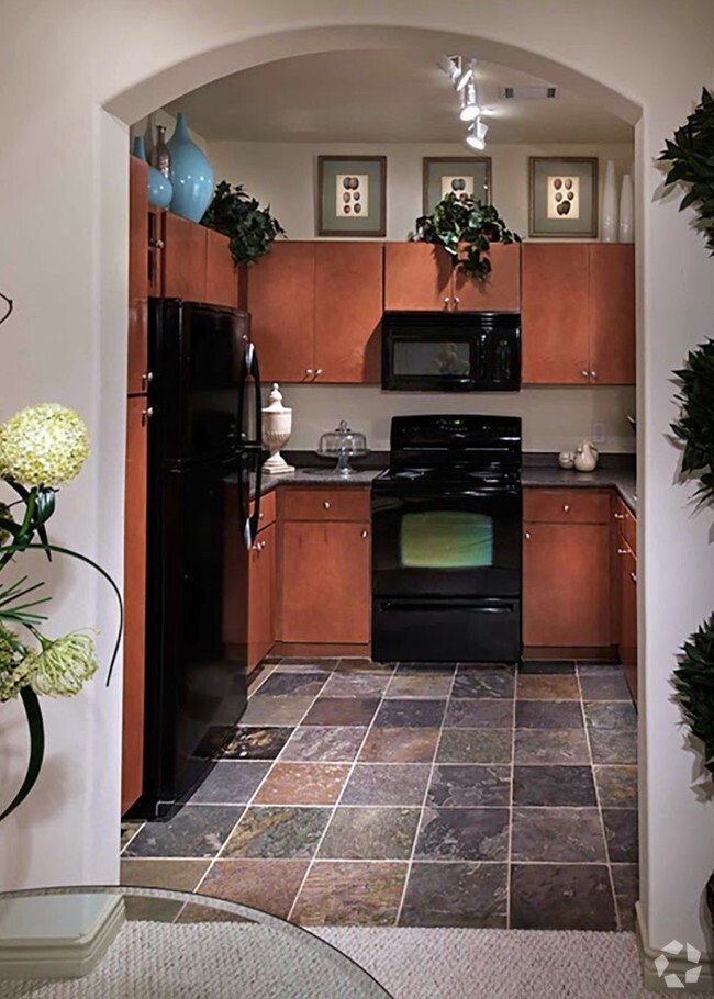
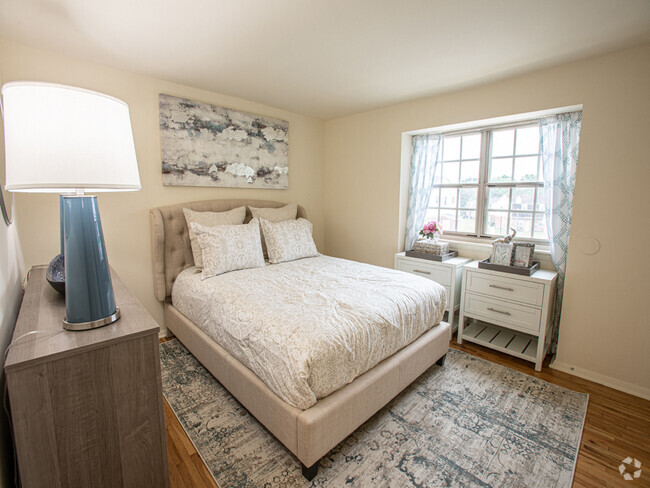
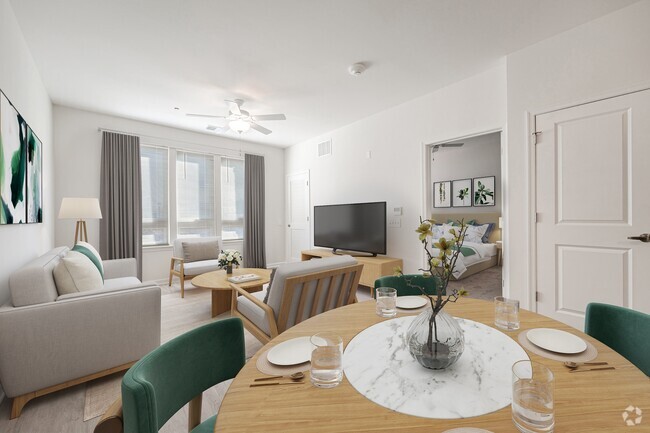
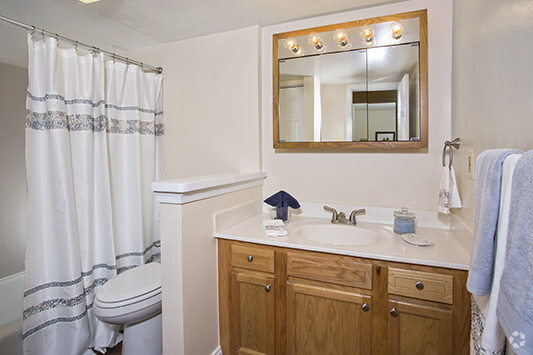
Apartments for Rent in Odenton MD - 423 Rentals
-
-
-
-
-
-
-
-
-
-
-
-
-
-
-
-
-
-
-
-
-
-
-
-
-

-
-
-

-
-
-

-
-
-
-
-

-

-
-
-
-
-
-
-
Showing 40 of 68 Results - Page 1 of 2


Find the Perfect Odenton, MD Apartment
Odenton, MD Apartments for Rent
Situated in Anne Arundel County, Odenton is centrally located between Annapolis, Washington D.C., and Baltimore. The city is continuously growing in population, largely due to its proximity to Fort George G. Meade military base and the developing Piney Orchard neighborhood.
In Odenton, you’ll discover a lot of great shopping centers like Waugh Chapel Towne Centre. Hikers will enjoy the plethora of trails that reside within the community, including Little Patuxent River Trail, Wild Turkey Way, and Merganser Pond Trail, among others. Midland Park is a large green space just minutes from Bowie State University. This Baltimore suburb contains highly rated public schools, plus access to Interstate 97 and Odenton Station.
Odenton, MD Rental Insights
Average Rent Rates
What is the average rent in Odenton, MD?
The average rent in Odenton is $2,065. When you rent an apartment in Odenton, you can expect to pay as little as $2,061 or as much as $2,777, depending on the location and the size of the apartment.
What is the average rent of a Studio apartment in Odenton, MD?
The average rent for a studio apartment in Odenton, MD is $2,061 per month.
What is the average rent of a 1 bedroom apartment in Odenton, MD?
The average rent for a one bedroom apartment in Odenton, MD is $2,071 per month.
What is the average rent of a 2 bedroom apartment in Odenton, MD?
The average rent for a two bedroom apartment in Odenton, MD is $2,343 per month.
What is the average rent of a 3 bedroom apartment in Odenton, MD?
The average rent for a three bedroom apartment in Odenton, MD is $2,777 per month.
Education
What colleges and universities are in Odenton, MD?
If you’re a student moving to an apartment in Odenton, you’ll have access to Bowie State University, Anne Arundel Community College, and United States Naval Academy.
Helpful Rental Guides for Odenton, MD


Search Nearby Rentals
Rentals Near Odenton
Neighborhood Apartment Rentals
- South Baltimore Apartments for Rent
- Federal Hill Apartments for Rent
- West Baltimore City Apartments for Rent
- Canton Apartments for Rent
- Downtown Baltimore Apartments for Rent
- Lower Northeast Apartments for Rent
- Northwest Baltimore City Apartments for Rent
- North Baltimore City Apartments for Rent
- Northeast Baltimore City Apartments for Rent