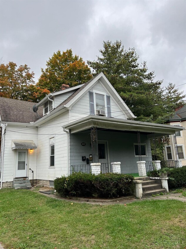
243 Avalon St
Cincinnati, OH 45216
-
Bedrooms
1
-
Bathrooms
1
-
Square Feet
--
-
Available
Available Now

About This Home
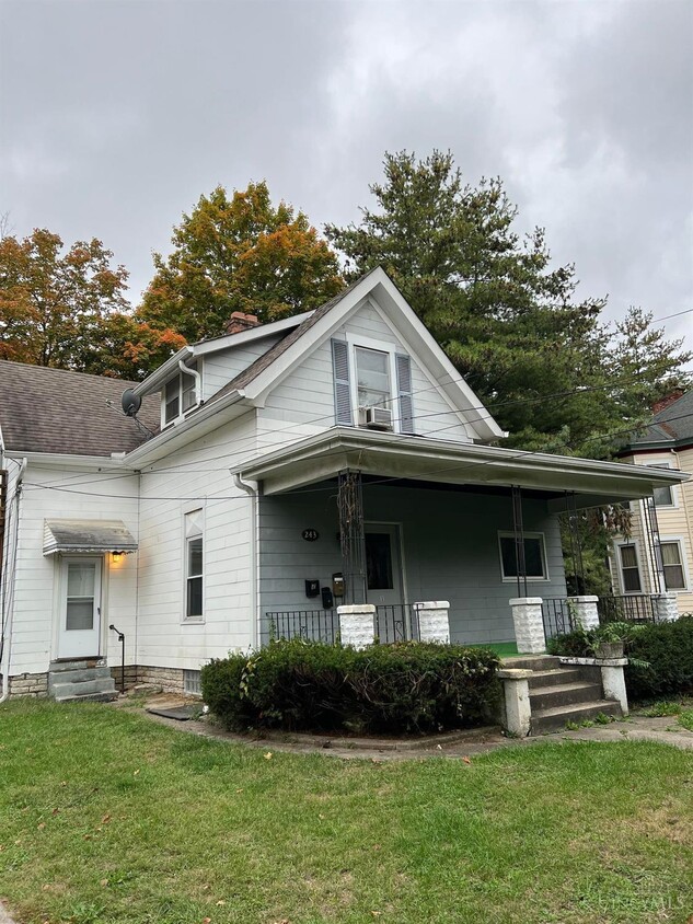
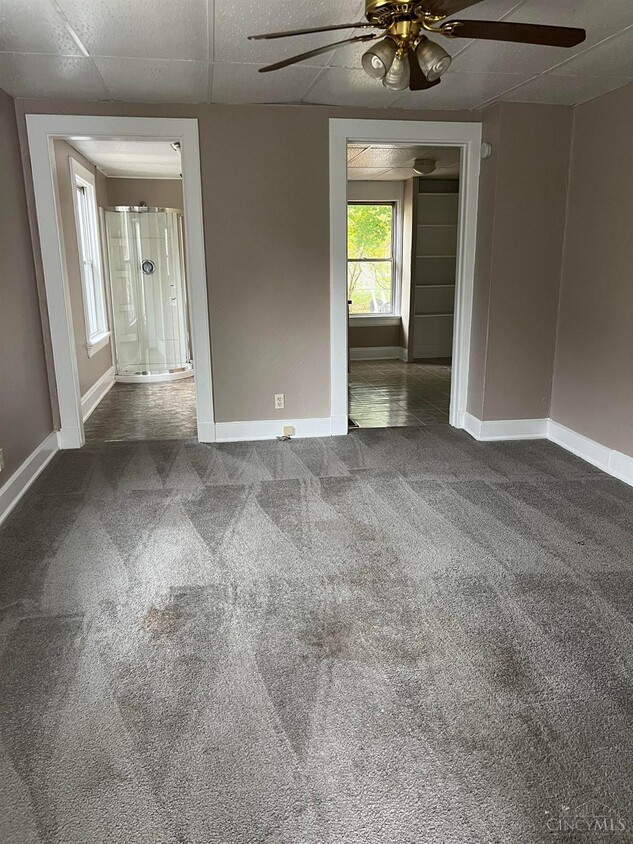
Beautiful eff apartment. Cats ok. All Utilities paid by owner
243 Avalon St is an apartment community located in Hamilton County and the 45216 ZIP Code.
Contact
- Listed by Mara Harperink
- Phone Number (513) 921-9560
- Contact
-
Source
MLSGreaterCincinnati#OH
The Hartwell neighborhood is eleven miles from Downtown Cincinnati, nestled between Interstate 75 and Route 126. First incorporated in 1876, the community has blossomed into a bustling business district, especially along Vine Street.
In addition to local companies, Vine Street is encompassed by the town community center, grocery stores, and quick-bites restaurants. Golfers living in Hartwell will appreciate the close proximity to The Wyoming Golf Club. Residents enjoy being just minutes from the Hamilton County Fairgrounds and great schools.
Hartwell residents pride themselves on their neighborhood spirit and close-knit community with neighbors.
Learn more about living in Hartwell| Colleges & Universities | Distance | ||
|---|---|---|---|
| Colleges & Universities | Distance | ||
| Drive: | 11 min | 4.3 mi | |
| Drive: | 11 min | 5.3 mi | |
| Drive: | 13 min | 5.5 mi | |
| Drive: | 13 min | 6.5 mi |
Transportation options available in Cincinnati include Brewery District Station, Elm & Henry, located 9.4 miles from 243 Avalon St. 243 Avalon St is near Cincinnati/Northern Kentucky International, located 23.4 miles or 39 minutes away.
| Transit / Subway | Distance | ||
|---|---|---|---|
| Transit / Subway | Distance | ||
| Drive: | 16 min | 9.4 mi | |
| Drive: | 16 min | 9.5 mi | |
| Drive: | 16 min | 9.6 mi | |
| Drive: | 16 min | 9.6 mi | |
| Drive: | 16 min | 9.7 mi |
| Commuter Rail | Distance | ||
|---|---|---|---|
| Commuter Rail | Distance | ||
|
|
Drive: | 15 min | 9.4 mi |
| Airports | Distance | ||
|---|---|---|---|
| Airports | Distance | ||
|
Cincinnati/Northern Kentucky International
|
Drive: | 39 min | 23.4 mi |
Time and distance from 243 Avalon St.
| Shopping Centers | Distance | ||
|---|---|---|---|
| Shopping Centers | Distance | ||
| Drive: | 6 min | 2.2 mi | |
| Drive: | 6 min | 2.5 mi | |
| Drive: | 6 min | 2.7 mi |
| Parks and Recreation | Distance | ||
|---|---|---|---|
| Parks and Recreation | Distance | ||
|
Caldwell Preserve
|
Drive: | 4 min | 1.8 mi |
|
French Park
|
Drive: | 9 min | 3.8 mi |
|
Avon Woods Natural Area/Preserve
|
Drive: | 7 min | 4.0 mi |
|
Gorman Heritage Farm
|
Drive: | 10 min | 4.2 mi |
|
Glenwood Gardens
|
Drive: | 11 min | 4.3 mi |
| Hospitals | Distance | ||
|---|---|---|---|
| Hospitals | Distance | ||
| Drive: | 3 min | 1.3 mi | |
| Drive: | 12 min | 4.6 mi | |
| Drive: | 12 min | 5.5 mi |
| Military Bases | Distance | ||
|---|---|---|---|
| Military Bases | Distance | ||
| Drive: | 60 min | 45.5 mi | |
| Drive: | 66 min | 50.6 mi | |
| Drive: | 68 min | 53.9 mi |
You May Also Like
Similar Rentals Nearby
What Are Walk Score®, Transit Score®, and Bike Score® Ratings?
Walk Score® measures the walkability of any address. Transit Score® measures access to public transit. Bike Score® measures the bikeability of any address.
What is a Sound Score Rating?
A Sound Score Rating aggregates noise caused by vehicle traffic, airplane traffic and local sources
