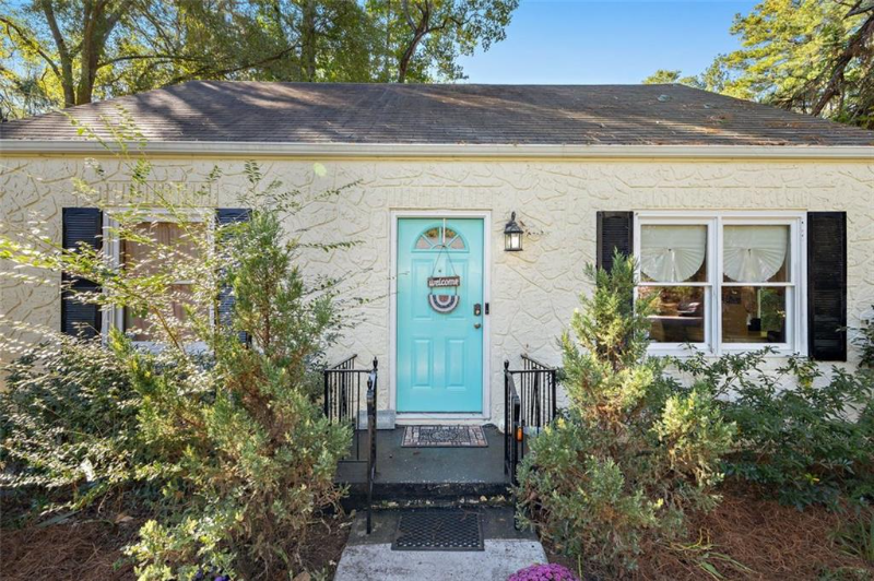
2468 Romain Way
East Point, GA 30344
-
Bedrooms
1
-
Bathrooms
1
-
Square Feet
--
-
Available
Available Now
Highlight
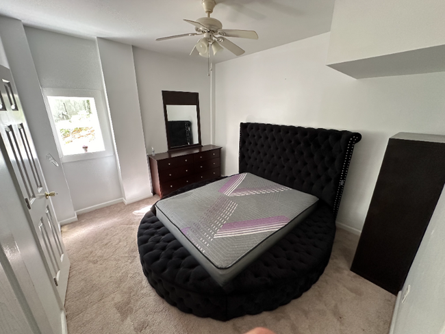
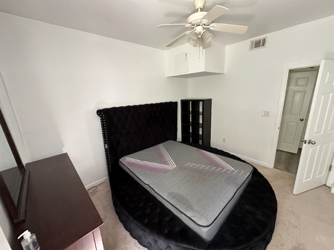
- Furnished

About This Home
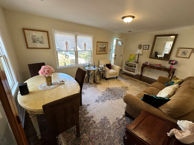
Property Id: 1486946 Private Garden-Level Room in a Shared Home - Prime East Point Location! Escape to your own secluded, freshly updated furnished bedroom in a shared home, featuring a beautifully landscaped backyard perfect for nature lovers. The garden-level room has its own private entrance and a shared kitchenette with a refrigerator, offering a cozy retreat while still enjoying shared living spaces. On the main level, you'll share a spacious eat-in kitchen, a second bathroom, and a welcoming living room with other tenants. A washer and dryer are available on-site, and both driveway and street parking provide convenience. A mere stone's throw from Main Street, you'll be super close to a variety of boutique shops, esteemed dining establishments, and an eclectic array of entertainment options for exciting nightlife. Nature enthusiasts will be drawn to the tranquility of Sykes Park, providing delightful outdoor recreation.
2468 Romain Way is a house located in Fulton County and the 30344 ZIP Code. This area is served by the Fulton County attendance zone.
House Features
Washer/Dryer
Dishwasher
Microwave
Refrigerator
- Washer/Dryer
- Dishwasher
- Microwave
- Oven
- Refrigerator
- Freezer
- Tile Floors
- Furnished
- Bicycle Storage
- Lawn
Fees and Policies
The fees below are based on community-supplied data and may exclude additional fees and utilities.
Details
Utilities Included
-
Water
-
Electricity
-
Trash Removal
-
Sewer
Property Information
-
Furnished Units Available
Contact
- Phone Number
- Contact
-
Source

- Washer/Dryer
- Dishwasher
- Microwave
- Oven
- Refrigerator
- Freezer
- Tile Floors
- Furnished
- Lawn
- Bicycle Storage
Aerotropolis refers to an array of Southside Atlanta communities surrounding Hartsfield-Jackson Atlanta International Airport, the world’s busiest airport. The cities of College Park, Chattahoochee Hills, East Point, Fairburn, Forest Park, Union City, Hapeville, Morrow, and Palmetto are all a part of the Aerotropolis Alliance, working together on initiatives to improve their respective communities.
Aerotropolis’ close proximity to the airport makes the region an ideal choice for local employees and frequent travelers alike. A wide variety of rentals are available throughout the region, from luxury apartments and cozy condos to charming townhomes and spacious houses. Getting around from Aerotropolis is easy with access to I-75, I-85, and I-285.
Learn more about living in Aerotropolis| Colleges & Universities | Distance | ||
|---|---|---|---|
| Colleges & Universities | Distance | ||
| Drive: | 11 min | 5.1 mi | |
| Drive: | 12 min | 5.8 mi | |
| Drive: | 14 min | 5.8 mi | |
| Drive: | 13 min | 6.1 mi |


View GreatSchools Rating Methodology
Transportation options available in East Point include East Point, located 2.6 miles from 2468 Romain Way. 2468 Romain Way is near Hartsfield - Jackson Atlanta International, located 7.9 miles or 16 minutes away.
| Transit / Subway | Distance | ||
|---|---|---|---|
| Transit / Subway | Distance | ||
|
|
Drive: | 7 min | 2.6 mi |
|
|
Drive: | 8 min | 3.4 mi |
|
|
Drive: | 8 min | 3.7 mi |
|
|
Drive: | 9 min | 4.4 mi |
|
|
Drive: | 13 min | 6.3 mi |
| Commuter Rail | Distance | ||
|---|---|---|---|
| Commuter Rail | Distance | ||
|
|
Drive: | 21 min | 12.6 mi |
| Airports | Distance | ||
|---|---|---|---|
| Airports | Distance | ||
|
Hartsfield - Jackson Atlanta International
|
Drive: | 16 min | 7.9 mi |
Time and distance from 2468 Romain Way.
| Shopping Centers | Distance | ||
|---|---|---|---|
| Shopping Centers | Distance | ||
| Walk: | 20 min | 1.0 mi | |
| Drive: | 3 min | 1.2 mi | |
| Drive: | 3 min | 1.2 mi |
| Parks and Recreation | Distance | ||
|---|---|---|---|
| Parks and Recreation | Distance | ||
|
Cascade Springs Nature Preserve
|
Drive: | 9 min | 3.8 mi |
|
West Atlanta Watershed Alliance (WAWA)
|
Drive: | 10 min | 4.0 mi |
|
Atlanta BeltLine Southwest Connector Spur Trail
|
Drive: | 12 min | 4.8 mi |
|
Park Pride
|
Drive: | 13 min | 6.6 mi |
|
The Georgia Capitol Museum
|
Drive: | 14 min | 7.1 mi |
| Hospitals | Distance | ||
|---|---|---|---|
| Hospitals | Distance | ||
| Drive: | 15 min | 7.5 mi | |
| Drive: | 16 min | 8.2 mi | |
| Drive: | 19 min | 9.1 mi |
| Military Bases | Distance | ||
|---|---|---|---|
| Military Bases | Distance | ||
| Drive: | 9 min | 4.0 mi | |
| Drive: | 27 min | 13.5 mi |
You May Also Like
What Are Walk Score®, Transit Score®, and Bike Score® Ratings?
Walk Score® measures the walkability of any address. Transit Score® measures access to public transit. Bike Score® measures the bikeability of any address.
What is a Sound Score Rating?
A Sound Score Rating aggregates noise caused by vehicle traffic, airplane traffic and local sources

2468 Romain Way
East Point, GA 30344