
$2,199 / Month
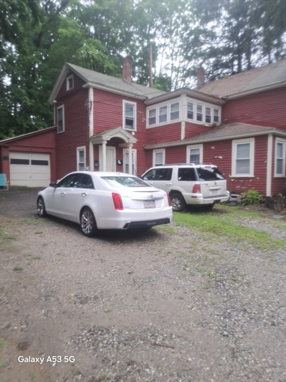
25 Crescent St Unit 2
West Boylston, MA 01583
Today
Favorites
508-410-8464
-
Bedrooms
3
-
Bathrooms
1
-
Square Feet
1,500 sq ft
-
Available
Available Now
Highlights
- Pool
- Fenced Lot
25 Crescent St Unit 2

Favorites
About This Home
$2,299 deposit,
Available Now
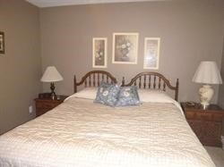
3 bedroom open concept with sparking hardwood floors,freshly painted,kitchen,living room,sun room with light and bright sunshine for plants or 4 season use. Washer dryer in kitchen. bathroom leads to master bedroom. Rent includes water -sewer-heat-hot water electricity- free washer and dryer Nice enclosed yard,off street parking,Close to 190,290,Rte 12 and Rte 70,across from the Main Elementary School. Huge Play ground and sport fields,close to Washstand Reservoir for fishing and hiking trails to mountains and close to Worcester Line. Close to shopping,banks and Meola's Ice Cream.
25 Crescent St is an apartment community located in Worcester County and the 01583 ZIP Code.
* Price shown is base rent and may not include non-optional fees and utilities.
Price, availability, fees, and any applicable rent special are subject to change without notice.
* Square footage definitions vary. Displayed square footage is approximate.
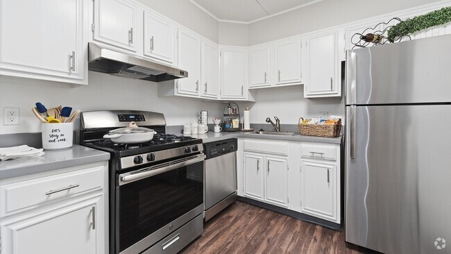
Features
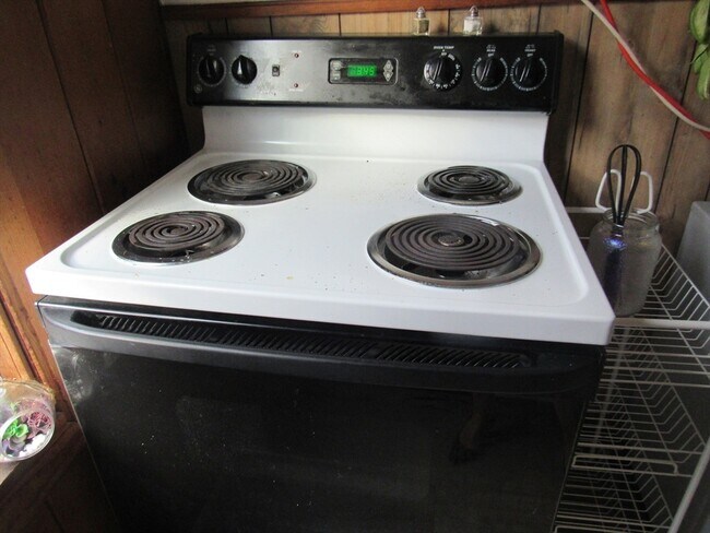
- Range
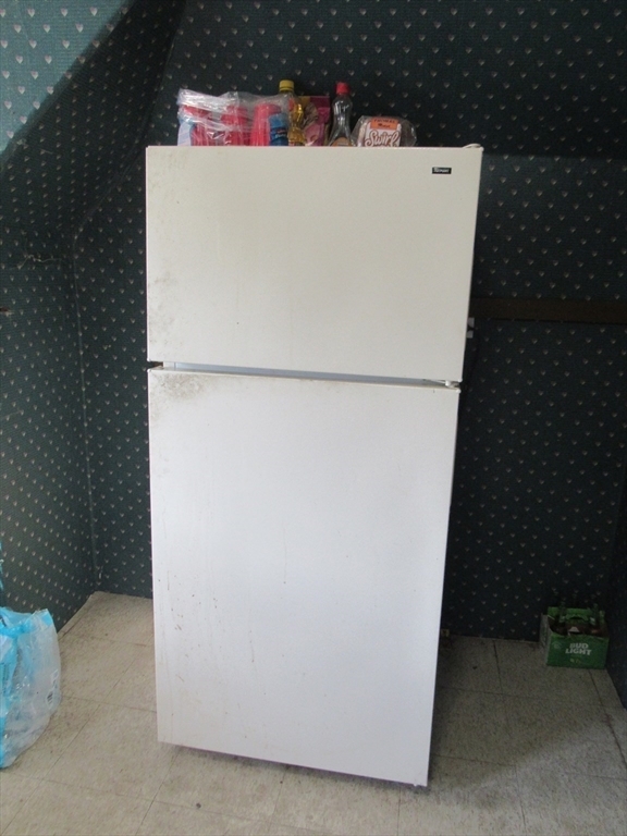
- Refrigerator
- Pool
- Fenced Lot
Fees and Policies
The fees below are based on community-supplied data and may exclude additional fees and utilities.
Contact
- Listed by Karynsue Marchione-Reilly | Park Place Realty Enterprises
- Phone Number
-
Source
 MLS Property Information Network
The property listing data and information set forth herein were provided to MLS Property Information Network, Inc. from third party sources, including sellers, lessors and public records, and were compiled by MLS Property Information Network, Inc. The property listing data and information are for the personal, non-commercial use of consumers having a good faith interest in purchasing or leasing listed properties of the type displayed to them and may not be used for any purpose other than to identify prospective properties which such consumers may have a good faith interest in purchasing or leasing. MLS Property Information Network, Inc. and its subscribers disclaim any and all representations and warranties as to the accuracy of the property listing data and information set forth herein. All properties are subject to prior sale, change or withdrawal. Copyright © 2025 MLS Property Information Network, Inc. All rights reserved.
Location
Get Directions
Amenities
- Range
- Refrigerator
- Fenced Lot
- Pool
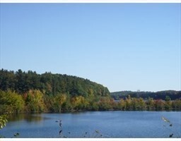
Wrapped around the Wachusett Reservoir, West Boylston provides a classic New England setting complete with expansive, wooded areas, historic charm, and large homes. First settled in 1642 and incorporated in 1808, West Boylston is known as the “small town with a big heart.” Today, it is a popular suburb of Worcester, located directly south. Residents of West Boylston enjoy easy access to the University of Massachusetts Medical School, Quinsigamond Community College, and Tower Hill Botanic Garden.
If you believe classic New England is synonymous with the Farmer’s Almanac, then it’s worth noting that the founder and editor of the Farmer’s Almanac, Robert B. Thomas, lived in West Boylston. He started the Farmer’s Almanac in 1792, making it the oldest continuously published periodical in the country. Other historic locations include Bigelow Tavern, built in 1810; the Oakdale Village Historic District, dating back to 1780; and the Quinapoxet River Bridge, built in 1903.
Learn more about living in West Boylston
Education
| Colleges & Universities | Distance | ||
|---|---|---|---|
| Colleges & Universities | Distance | ||
| Drive: | 10 min | 4.3 mi | |
| Drive: | 14 min | 7.2 mi | |
| Drive: | 13 min | 7.7 mi | |
| Drive: | 18 min | 8.7 mi |
25 Crescent St Unit 2 is within 10 minutes or 4.3 miles from Quinsigamond Community College. It is also near Assumption College and Worcester Polytechnic Inst..
Transportation options available in West Boylston include Riverside Station, located 39.2 miles from 25 Crescent St Unit 2. 25 Crescent St Unit 2 is near Worcester Regional, located 12.9 miles or 24 minutes away.
| Transit / Subway | Distance | ||
|---|---|---|---|
| Transit / Subway | Distance | ||
|
|
Drive: | 53 min | 39.2 mi |
|
|
Drive: | 53 min | 39.5 mi |
|
|
Drive: | 54 min | 40.2 mi |
|
|
Drive: | 57 min | 41.8 mi |
|
|
Drive: | 57 min | 42.0 mi |
| Commuter Rail | Distance | ||
|---|---|---|---|
| Commuter Rail | Distance | ||
|
|
Drive: | 14 min | 8.4 mi |
|
|
Drive: | 14 min | 8.5 mi |
|
|
Drive: | 22 min | 11.8 mi |
|
|
Drive: | 23 min | 12.6 mi |
|
|
Drive: | 20 min | 14.1 mi |
| Airports | Distance | ||
|---|---|---|---|
| Airports | Distance | ||
|
Worcester Regional
|
Drive: | 24 min | 12.9 mi |
Time and distance from 25 Crescent St Unit 2.
| Shopping Centers | Distance | ||
|---|---|---|---|
| Shopping Centers | Distance | ||
| Walk: | 12 min | 0.6 mi | |
| Walk: | 17 min | 0.9 mi | |
| Drive: | 3 min | 1.2 mi |
25 Crescent St Unit 2 has 3 shopping centers within 1.2 miles, which is about a 3-minute walk. The miles and minutes will be for the farthest away property.
| Parks and Recreation | Distance | ||
|---|---|---|---|
| Parks and Recreation | Distance | ||
|
Tower Hill Botanic Garden
|
Drive: | 9 min | 5.2 mi |
|
Mass Audubon's Eagle Lake Wildlife Sanctuary
|
Drive: | 17 min | 7.4 mi |
|
Quinsigamond State Park
|
Drive: | 14 min | 7.5 mi |
|
Mount Pisgah Conservation Area
|
Drive: | 22 min | 8.9 mi |
|
Heifer Learning Center at Overlook Farm
|
Drive: | 22 min | 10.8 mi |
25 Crescent St Unit 2 has 5 parks within 10.8 miles, including Tower Hill Botanic Garden, Mass Audubon's Eagle Lake Wildlife Sanctuary, and Quinsigamond State Park.
| Hospitals | Distance | ||
|---|---|---|---|
| Hospitals | Distance | ||
| Drive: | 14 min | 7.2 mi | |
| Drive: | 12 min | 7.5 mi | |
| Drive: | 15 min | 7.7 mi |
25 Crescent St Unit 2 has 3 hospitals within 7.7 miles, the nearest is UMass Memorial Medical Center University Campus which is 7.2 miles away and a 14 minute drive.
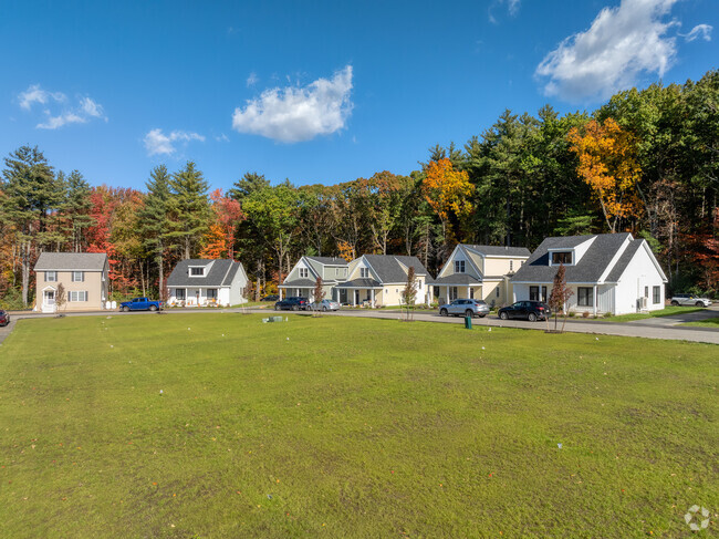
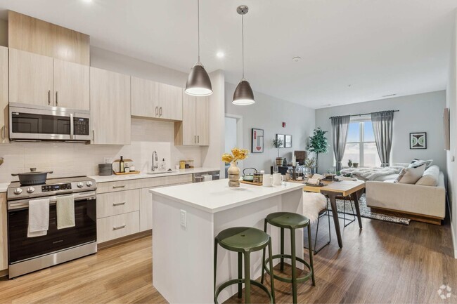
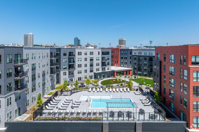
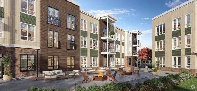
You May Also Like
Similar Rentals Nearby


What Are Walk Score®, Transit Score®, and Bike Score® Ratings?
Walk Score® measures the walkability of any address. Transit Score® measures access to public transit. Bike Score® measures the bikeability of any address.
What is a Sound Score Rating?
A Sound Score Rating aggregates noise caused by vehicle traffic, airplane traffic and local sources
25 Crescent St
West Boylston, MA 01583