
$2,695 / Month
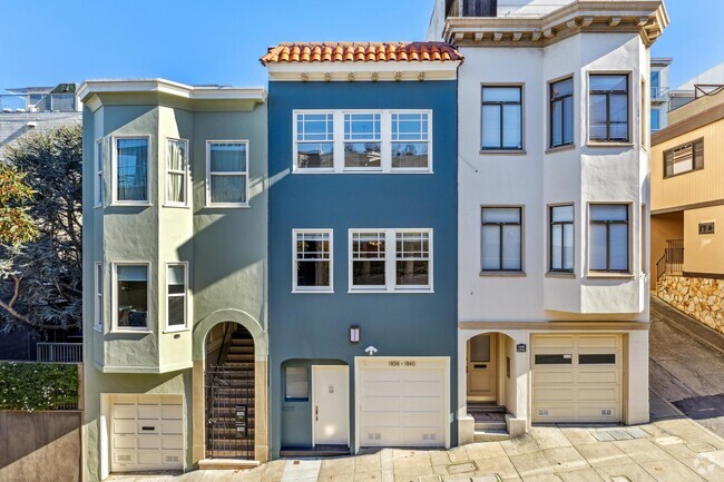
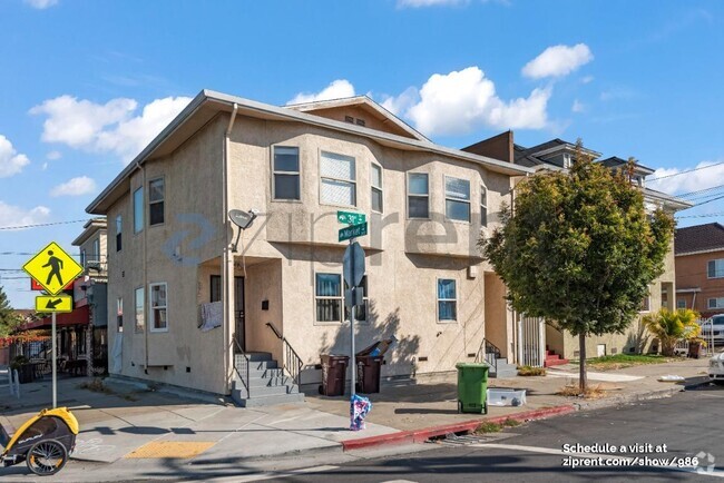
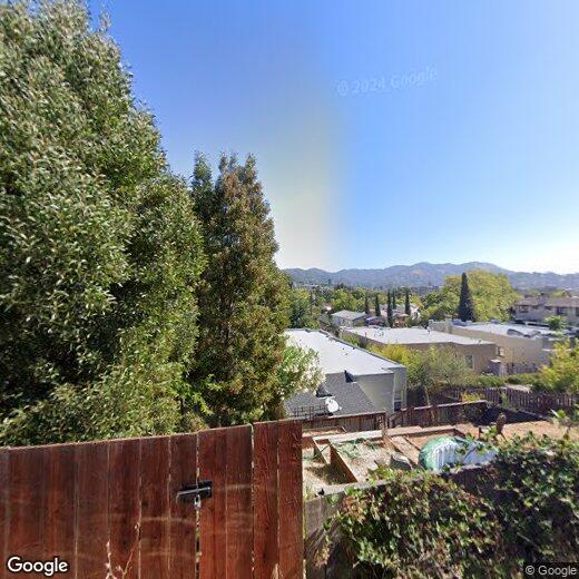
25 Octavia St
San Rafael, CA 94901
2 Weeks Ago
Favorites
25 Octavia St

Favorites
Check Back Soon for Upcoming Availability
| Beds | Baths | Average SF |
|---|---|---|
| 2 Bedrooms 2 Bedrooms 2 Br | 1 Bath 1 Bath 1 Ba | — |
Location
Get Directions
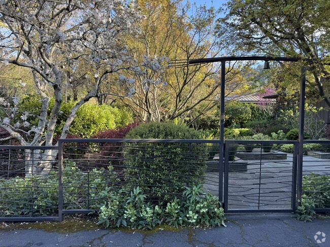
Lush greenery lines the Gerstle Park neighborhood’s extensive sidewalk system, giving residents every excuse to walk up the 4th Street or B Street for groceries, morning coffee, or after-hours R&R. On the south side of the neighborhood, the eponymous park’s playgrounds, footpaths, and shady trees provide a delightful spot to relax and enjoy the outdoors.
Multiple elementary schools in the Gerstle Park area give parents options for their children’s education, and of course walking to class is one of the many perks of the neighborhood’s cozy layout (James B. Davidson Middle School sits just outside the neighborhood as well). Convenient access to the 101 and Interstate 580 makes it easy to reach Oakland or San Francisco in under an hour.
Learn more about living in Gerstle ParkBelow are rent ranges for similar nearby apartments
Education
| Colleges & Universities | Distance | ||
|---|---|---|---|
| Colleges & Universities | Distance | ||
| Drive: | 6 min | 1.9 mi | |
| Drive: | 25 min | 14.7 mi | |
| Drive: | 27 min | 16.6 mi | |
| Drive: | 29 min | 17.0 mi |
25 Octavia St is within 6 minutes or 1.9 miles from Dominican Univ. of Ca. It is also near Contra Costa College and UC San Francisco, Mount Zion.
Schools


Public Elementary School
Grades K-5
99 Students
Nearby
Public Elementary School
Grades K-5
269 Students
Attendance Zone
Public Middle School
Grades 6-8
1,063 Students
Attendance Zone
Public High School
Grades 9-12
1,189 Students
Attendance Zone
Public High School
Grades 9-12
1,265 Students
Attendance Zone
Private Elementary School
Grades PK-6
156 Students
Nearby
Private Elementary, Middle & High School
Grades K-12
52 Students
Nearby
School data provided by
 The GreatSchools Rating helps parents compare schools within a state based on a variety of school quality indicators and provides a helpful picture of how effectively each school serves all of its students. Ratings are on a scale of 1 (below average) to 10 (above average) and can include test scores, college readiness, academic progress, advanced courses, equity, discipline and attendance data. We also advise parents to visit schools, consider other information on school performance and programs, and consider family needs as part of the school selection process.
View GreatSchools Rating Methodology
View GreatSchools Rating Methodology
Transportation options available in San Rafael include Richmond Station, located 11.9 miles from 25 Octavia St. 25 Octavia St is near San Francisco International, located 31.5 miles or 52 minutes away, and Metro Oakland International, located 31.7 miles or 44 minutes away.
| Transit / Subway | Distance | ||
|---|---|---|---|
| Transit / Subway | Distance | ||
|
|
Drive: | 20 min | 11.9 mi |
|
|
Drive: | 23 min | 13.4 mi |
|
|
Drive: | 29 min | 17.2 mi |
|
|
Drive: | 30 min | 17.5 mi |
|
|
Drive: | 30 min | 17.5 mi |
| Commuter Rail | Distance | ||
|---|---|---|---|
| Commuter Rail | Distance | ||
| Walk: | 17 min | 0.9 mi | |
| Drive: | 9 min | 3.6 mi | |
| Drive: | 9 min | 4.4 mi | |
| Drive: | 14 min | 7.8 mi | |
| Drive: | 18 min | 11.7 mi |
| Airports | Distance | ||
|---|---|---|---|
| Airports | Distance | ||
|
San Francisco International
|
Drive: | 52 min | 31.5 mi |
|
Metro Oakland International
|
Drive: | 44 min | 31.7 mi |
Time and distance from 25 Octavia St.
| Shopping Centers | Distance | ||
|---|---|---|---|
| Shopping Centers | Distance | ||
| Walk: | 13 min | 0.7 mi | |
| Walk: | 13 min | 0.7 mi | |
| Walk: | 14 min | 0.8 mi |
25 Octavia St has 3 shopping centers within 0.8 mile, which is about a 14-minute walk. The miles and minutes will be for the farthest away property.
| Parks and Recreation | Distance | ||
|---|---|---|---|
| Parks and Recreation | Distance | ||
|
WildCare
|
Walk: | 7 min | 0.4 mi |
|
Hal Brown Park at Creekside
|
Drive: | 7 min | 2.1 mi |
|
Baltimore Canyon Open Space
|
Drive: | 16 min | 4.7 mi |
|
John F. McInnis County Park
|
Drive: | 13 min | 6.2 mi |
|
China Camp State Park
|
Drive: | 16 min | 6.4 mi |
25 Octavia St has 5 parks within 6.4 miles, including WildCare, Hal Brown Park at Creekside, and Baltimore Canyon Open Space.
| Hospitals | Distance | ||
|---|---|---|---|
| Hospitals | Distance | ||
| Drive: | 7 min | 2.4 mi | |
| Drive: | 11 min | 4.8 mi | |
| Drive: | 17 min | 10.8 mi |
25 Octavia St has 3 hospitals within 10.8 miles, the nearest is MarinHealth Medical Center which is 2.4 miles away and a 7 minute drive.
| Military Bases | Distance | ||
|---|---|---|---|
| Military Bases | Distance | ||
| Drive: | 25 min | 14.9 mi | |
| Drive: | 30 min | 16.5 mi | |
| Drive: | 31 min | 16.9 mi |
25 Octavia St has 3 military bases within 16.9 miles, the nearest is Armory West Contra Costa which is 14.9 miles away and a 25 minute drive.
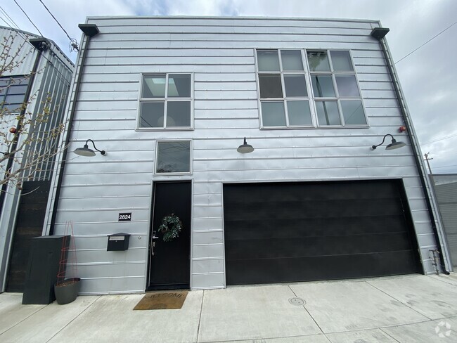
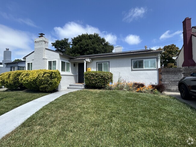
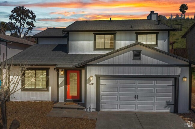
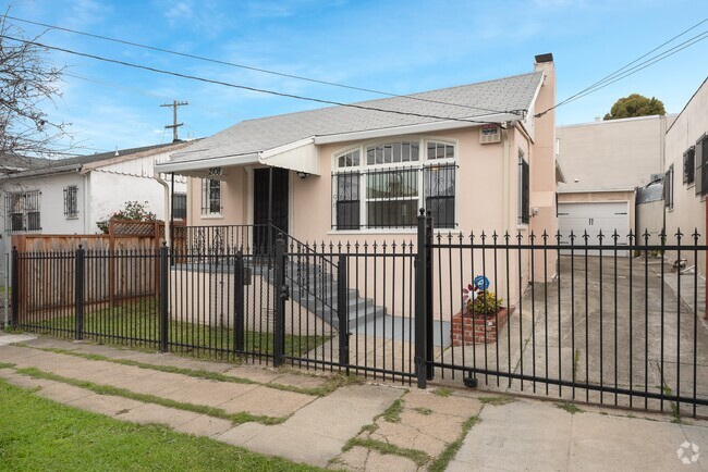
You May Also Like
Similar Rentals Nearby

What Are Walk Score®, Transit Score®, and Bike Score® Ratings?
Walk Score® measures the walkability of any address. Transit Score® measures access to public transit. Bike Score® measures the bikeability of any address.
What is a Sound Score Rating?
A Sound Score Rating aggregates noise caused by vehicle traffic, airplane traffic and local sources
25 Octavia St
San Rafael, CA 94901