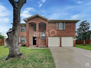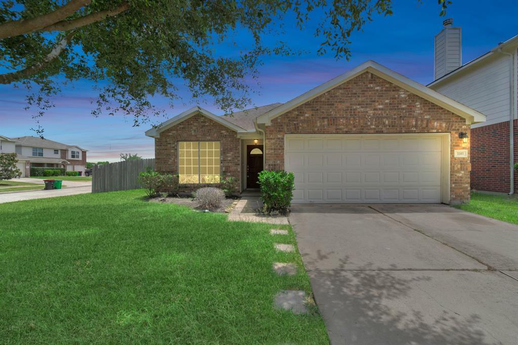
-
Monthly Rent
$2,000
-
Bedrooms
4 bd
-
Bathrooms
2 ba
-
Square Feet
Details

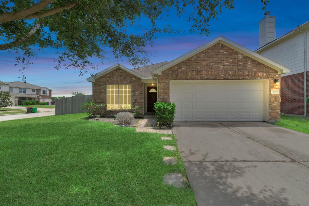
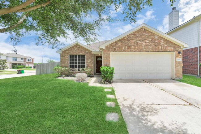
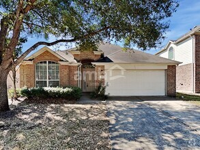
2503 Balsam Ridge Way is a house located in Fort Bend County and the 77545 ZIP Code. This area is served by the Fort Bend Independent attendance zone.
Discover Homeownership
Renting vs. Buying
-
Housing Cost Per Month: $2,000
-
Rent for 30 YearsRenting doesn't build equity Future EquityRenting isn't tax deductible Mortgage Interest Tax Deduction$0 Net Return
-
Buy Over 30 Years$781K - $1.39M Future Equity$355K Mortgage Interest Tax Deduction$61K - $670K Gain Net Return
-
Contact
House Features
Dishwasher
Microwave
Disposal
Smoke Free
- Smoke Free
- Dishwasher
- Disposal
- Microwave
- Carpet
- Pool
Fees and Policies
The fees below are based on community-supplied data and may exclude additional fees and utilities.
- Parking
-
Garage--
Details
Lease Options
-
12 Months
 This Property
 Available Property
- Smoke Free
- Dishwasher
- Disposal
- Microwave
- Carpet
- Pool
Located about 20 miles southwest of Downtown Houston, Fort Bend Houston offers a tight-knit community and a break from the fast pace of city life. The majority of the neighborhood consists of single-story suburban homes, but there’s been an explosion in apartment offerings in this Houston bedroom community. Get a rental near Post Oak Road to stay close to most of the area's shopping and dining options.
Quick, casual restaurants make up Fort Bend Houston's dining scene, and there’s even more variety just over Sam Houston Tollway. During the summer, Blueridge Park, a splash park with water sprays, serves as a popular way to beat the heat. The conveniences of the city are just minutes away, making this a great locale for commuters.
Learn more about living in Fort Bend Houston| Colleges & Universities | Distance | ||
|---|---|---|---|
| Colleges & Universities | Distance | ||
| Drive: | 28 min | 14.2 mi | |
| Drive: | 29 min | 16.4 mi | |
| Drive: | 27 min | 17.1 mi | |
| Drive: | 31 min | 18.7 mi |
Transportation options available in Fresno include Fannin South, located 13.2 miles from 2503 Balsam Ridge Way. 2503 Balsam Ridge Way is near William P Hobby, located 19.9 miles or 38 minutes away, and George Bush Intcntl/Houston, located 38.9 miles or 57 minutes away.
| Transit / Subway | Distance | ||
|---|---|---|---|
| Transit / Subway | Distance | ||
|
|
Drive: | 24 min | 13.2 mi |
|
|
Drive: | 25 min | 14.6 mi |
|
|
Drive: | 25 min | 16.6 mi |
|
|
Drive: | 27 min | 17.4 mi |
|
|
Drive: | 28 min | 17.7 mi |
| Commuter Rail | Distance | ||
|---|---|---|---|
| Commuter Rail | Distance | ||
|
|
Drive: | 37 min | 23.3 mi |
| Airports | Distance | ||
|---|---|---|---|
| Airports | Distance | ||
|
William P Hobby
|
Drive: | 38 min | 19.9 mi |
|
George Bush Intcntl/Houston
|
Drive: | 57 min | 38.9 mi |
Time and distance from 2503 Balsam Ridge Way.
| Shopping Centers | Distance | ||
|---|---|---|---|
| Shopping Centers | Distance | ||
| Drive: | 6 min | 2.2 mi | |
| Drive: | 6 min | 2.2 mi | |
| Drive: | 8 min | 2.5 mi |
| Parks and Recreation | Distance | ||
|---|---|---|---|
| Parks and Recreation | Distance | ||
|
Galveston Island State Park
|
Drive: | 8 min | 3.2 mi |
|
Scuba Park
|
Drive: | 17 min | 10.1 mi |
| Hospitals | Distance | ||
|---|---|---|---|
| Hospitals | Distance | ||
| Drive: | 17 min | 9.3 mi | |
| Drive: | 22 min | 11.8 mi | |
| Drive: | 21 min | 11.9 mi |
| Military Bases | Distance | ||
|---|---|---|---|
| Military Bases | Distance | ||
| Drive: | 50 min | 32.3 mi | |
| Drive: | 77 min | 50.7 mi |
You May Also Like
Similar Rentals Nearby
-
-
-
-
$2,3254 Beds, 2.5 Baths, 2,622 sq ftHouse for Rent
-
$2,1754 Beds, 2 Baths, 2,125 sq ftHouse for Rent
-
$2,3104 Beds, 2.5 Baths, 2,542 sq ftHouse for Rent
-
$2,2204 Beds, 2 Baths, 1,936 sq ftHouse for Rent
-
$1,9304 Beds, 2 Baths, 1,581 sq ftHouse for Rent
-
$2,2254 Beds, 2.5 Baths, 2,269 sq ftHouse for Rent
-
$2,6605 Beds, 2.5 Baths, 3,579 sq ftHouse for Rent
What Are Walk Score®, Transit Score®, and Bike Score® Ratings?
Walk Score® measures the walkability of any address. Transit Score® measures access to public transit. Bike Score® measures the bikeability of any address.
What is a Sound Score Rating?
A Sound Score Rating aggregates noise caused by vehicle traffic, airplane traffic and local sources
