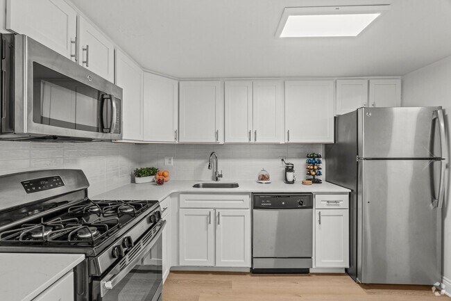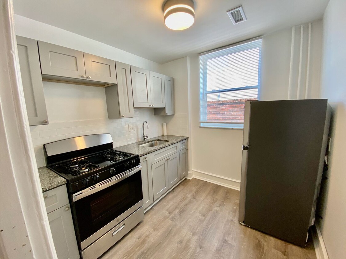
-
Monthly Rent
$1,100
-
Bedrooms
Studio bd
-
Bathrooms
1 ba
-
Square Feet
Details

 This Property
 Available Property
If it's cheesesteaks and sports that piqued your interest in Philadelphia, you're looking for the neighborhood of South Philadelphia West. At its southeastern tip, this area borders the Wells Fargo Center and the Lincoln Financial Field, home of the Flyers and Phillies respectively. Located south of Moore Street, between busy Broad St. and the Schuykill River, the area offers a range of densely packed urban shopping districts and a riverfront oasis, all within minutes of Center City.
Bordered by Interstate 76 and 95, South Philly West encompasses several neighborhoods and entertainment hotspots. There’s a little something for everyone here, from the urban amenities of Melrose and South Philly, to FDR Park and the nearby Philadelphia International Airport.
Learn more about living in South Philadelphia West| Colleges & Universities | Distance | ||
|---|---|---|---|
| Colleges & Universities | Distance | ||
| Drive: | 7 min | 3.0 mi | |
| Drive: | 8 min | 3.3 mi | |
| Drive: | 6 min | 3.7 mi | |
| Drive: | 7 min | 3.9 mi |
Transportation options available in Philadelphia include Oregon, located 0.1 miles from 2532 S Broad St Unit 2nd fl. 2532 S Broad St Unit 2nd fl is near Philadelphia International, located 7.7 miles or 14 minutes away, and Trenton Mercer, located 37.2 miles or 54 minutes away.
| Transit / Subway | Distance | ||
|---|---|---|---|
| Transit / Subway | Distance | ||
|
|
Walk: | 2 min | 0.1 mi |
|
|
Walk: | 8 min | 0.4 mi |
|
|
Walk: | 15 min | 0.8 mi |
|
|
Walk: | 18 min | 0.9 mi |
|
|
Drive: | 4 min | 1.4 mi |
| Commuter Rail | Distance | ||
|---|---|---|---|
| Commuter Rail | Distance | ||
|
|
Drive: | 8 min | 3.1 mi |
|
|
Drive: | 9 min | 3.3 mi |
|
|
Drive: | 7 min | 3.7 mi |
|
|
Drive: | 7 min | 4.2 mi |
| Drive: | 8 min | 4.5 mi |
| Airports | Distance | ||
|---|---|---|---|
| Airports | Distance | ||
|
Philadelphia International
|
Drive: | 14 min | 7.7 mi |
|
Trenton Mercer
|
Drive: | 54 min | 37.2 mi |
Time and distance from 2532 S Broad St Unit 2nd fl.
| Shopping Centers | Distance | ||
|---|---|---|---|
| Shopping Centers | Distance | ||
| Walk: | 13 min | 0.7 mi | |
| Walk: | 15 min | 0.8 mi | |
| Drive: | 2 min | 1.2 mi |
| Parks and Recreation | Distance | ||
|---|---|---|---|
| Parks and Recreation | Distance | ||
|
Franklin D. Roosevelt Park
|
Drive: | 5 min | 2.0 mi |
|
Thaddeus Kosciuszko National Memorial
|
Drive: | 7 min | 2.4 mi |
|
Gloria Dei Church National Historic Site
|
Drive: | 7 min | 2.4 mi |
|
Schuylkill River Park
|
Drive: | 7 min | 3.1 mi |
|
Penn Museum
|
Drive: | 6 min | 3.6 mi |
| Hospitals | Distance | ||
|---|---|---|---|
| Hospitals | Distance | ||
| Walk: | 11 min | 0.6 mi | |
| Drive: | 8 min | 2.5 mi | |
| Drive: | 9 min | 2.7 mi |
| Military Bases | Distance | ||
|---|---|---|---|
| Military Bases | Distance | ||
| Drive: | 5 min | 2.1 mi |
You May Also Like
Similar Rentals Nearby
What Are Walk Score®, Transit Score®, and Bike Score® Ratings?
Walk Score® measures the walkability of any address. Transit Score® measures access to public transit. Bike Score® measures the bikeability of any address.
What is a Sound Score Rating?
A Sound Score Rating aggregates noise caused by vehicle traffic, airplane traffic and local sources
