
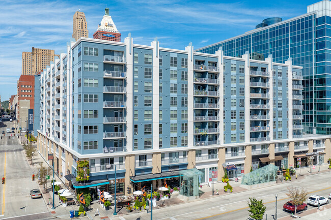
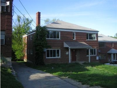
2560 Kipling Ave
2560 Kipling Ave,
Cincinnati,
OH
45239
2 Weeks Ago
Favorites
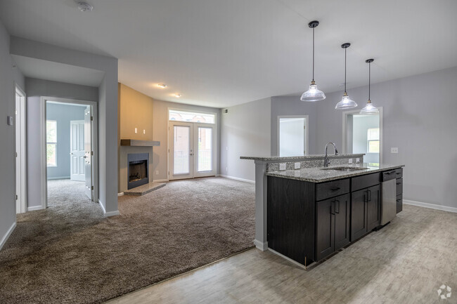
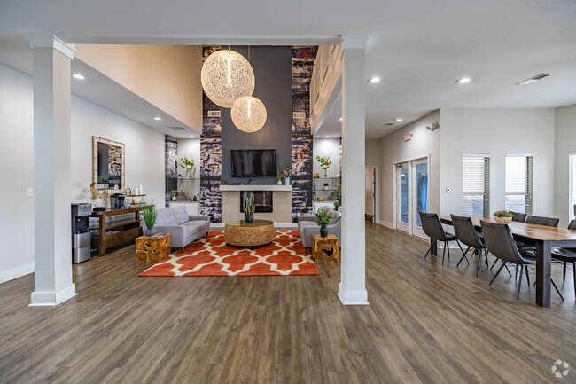
2560 Kipling Ave
Favorites
Check Back Soon for Upcoming Availability
| Beds | Baths | Average SF | Availability |
|---|---|---|---|
| 1 Bedroom 1 Bedroom 1 Br | 1 Bath 1 Bath 1 Ba | 780 SF | Not Available |
| 2 Bedrooms 2 Bedrooms 2 Br | 1 Bath 1 Bath 1 Ba | 900 SF | Not Available |
About 2560 Kipling Ave Cincinnati, OH 45239
Meet your new place at 2560 Kipling Ave in Cincinnati. The 2560 Kipling Ave location in Cincinnati's 45239 Zip code is an ideal place to move. The knowledgeable leasing staff is waiting to show you all that this community has to offer. Come for a visit to check out the apartment floorplan options. Contact us or drop by the leasing office to schedule a tour and make your move to 2560 Kipling Ave.
2560 Kipling Ave is an apartment community located in Hamilton County and the 45239 ZIP Code. This area is served by the Cincinnati Public Schools attendance zone.
Fees and Policies
The fees below are based on community-supplied data and may exclude additional fees and utilities.
- Parking
-
GarageParking Available--
Details
Property Information
-
Built in 1955
-
4 units/2 stories
Location
Get Directions
Mount Airy is a classic suburban neighborhood with peaceful streets lined with single-family homes. Interstate 74 and Highway 22 makes the seven mile drive into Downtown Cincinnati and beyond accessible, but Mount Airy has a lot to offer from within. Its southern border encompasses Mount Airy Forest, which provides residents with outdoor fun. There are also a few fast food restaurants within the neighborhood, but residents can easily travel to the surrounding areas or into downtown for a diverse selection of restaurants. Renters will find that they have a few affordable options of apartments in longstanding brick buildings to choose from.
Learn more about living in Mount AiryBelow are rent ranges for similar nearby apartments
Education
| Colleges & Universities | Distance | ||
|---|---|---|---|
| Colleges & Universities | Distance | ||
| Drive: | 14 min | 5.4 mi | |
| Drive: | 15 min | 7.1 mi | |
| Drive: | 17 min | 7.5 mi | |
| Drive: | 21 min | 9.1 mi |
2560 Kipling Ave is within 14 minutes or 5.4 miles from Cincinnati State. It is also near University of Cincinnati and Univ. of Cincinnati, Medical.
Schools


Public Elementary & Middle School
Grades PK-7
569 Students
Attendance Zone
Charter Middle & High School
Grades 7-12
221 Students
Nearby
Public Middle & High School
Grades 7-12
760 Students
Attendance Zone
Private Elementary & Middle School
Grades K-8
56 Students
Nearby
Private Elementary & Middle School
Grades PK-8
105 Students
Nearby
Private High School
Grades 9-12
738 Students
Nearby
School data provided by
 The GreatSchools Rating helps parents compare schools within a state based on a variety of school quality indicators and provides a helpful picture of how effectively each school serves all of its students. Ratings are on a scale of 1 (below average) to 10 (above average) and can include test scores, college readiness, academic progress, advanced courses, equity, discipline and attendance data. We also advise parents to visit schools, consider other information on school performance and programs, and consider family needs as part of the school selection process.
View GreatSchools Rating Methodology
View GreatSchools Rating Methodology
Transportation options available in Cincinnati include Brewery District Station, Elm & Henry, located 7.8 miles from 2560 Kipling Ave. 2560 Kipling Ave is near Cincinnati/Northern Kentucky International, located 21.8 miles or 40 minutes away.
| Transit / Subway | Distance | ||
|---|---|---|---|
| Transit / Subway | Distance | ||
| Drive: | 16 min | 7.8 mi | |
| Drive: | 16 min | 7.9 mi | |
| Drive: | 17 min | 8.0 mi | |
| Drive: | 17 min | 8.0 mi | |
| Drive: | 17 min | 8.1 mi |
| Commuter Rail | Distance | ||
|---|---|---|---|
| Commuter Rail | Distance | ||
|
|
Drive: | 16 min | 7.7 mi |
| Airports | Distance | ||
|---|---|---|---|
| Airports | Distance | ||
|
Cincinnati/Northern Kentucky International
|
Drive: | 40 min | 21.8 mi |
Time and distance from 2560 Kipling Ave.
| Shopping Centers | Distance | ||
|---|---|---|---|
| Shopping Centers | Distance | ||
| Walk: | 7 min | 0.4 mi | |
| Walk: | 8 min | 0.4 mi | |
| Drive: | 4 min | 1.6 mi |
2560 Kipling Ave has 3 shopping centers within 1.6 miles, which is about a 4-minute walk. The miles and minutes will be for the farthest away property.
| Parks and Recreation | Distance | ||
|---|---|---|---|
| Parks and Recreation | Distance | ||
|
LaBoiteaux Woods
|
Drive: | 5 min | 2.3 mi |
|
Mt. Airy Forest
|
Drive: | 7 min | 2.7 mi |
|
Farbach-Werner Nature Preserve
|
Drive: | 6 min | 2.8 mi |
|
Buttercup Valley
|
Drive: | 8 min | 3.4 mi |
|
Caldwell Preserve
|
Drive: | 11 min | 5.0 mi |
2560 Kipling Ave has 5 parks within 5.0 miles, including LaBoiteaux Woods, Mt. Airy Forest, and Farbach-Werner Nature Preserve.
| Hospitals | Distance | ||
|---|---|---|---|
| Hospitals | Distance | ||
| Drive: | 9 min | 3.4 mi | |
| Drive: | 14 min | 6.2 mi | |
| Drive: | 14 min | 6.3 mi |
2560 Kipling Ave has 3 hospitals within 6.3 miles, the nearest is Mercy Health - West Hospital which is 3.4 miles away and a 9 minute drive.
| Military Bases | Distance | ||
|---|---|---|---|
| Military Bases | Distance | ||
| Drive: | 70 min | 54.0 mi | |
| Drive: | 76 min | 59.1 mi | |
| Drive: | 78 min | 62.4 mi |
2560 Kipling Ave has 3 military bases within 62.4 miles, the nearest is Gentile Air Force Station which is 54.0 miles away and a 70 minute drive.
You May Also Like
What neighborhood is the property located in?
2560 Kipling Ave Cincinnati, OH 45239 is in Mount Airy in the city of Cincinnati. Here you’ll find three shopping centers within 1.6 miles of the property. Five parks are within 5.0 miles, including LaBoiteaux Woods, Mt. Airy Forest, and Farbach-Werner Nature Preserve.
Similar Rentals Nearby


What Are Walk Score®, Transit Score®, and Bike Score® Ratings?
Walk Score® measures the walkability of any address. Transit Score® measures access to public transit. Bike Score® measures the bikeability of any address.
What is a Sound Score Rating?
A Sound Score Rating aggregates noise caused by vehicle traffic, airplane traffic and local sources
2560 Kipling Ave
Cincinnati, OH 45239
Responded To This Review