
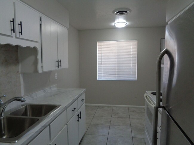
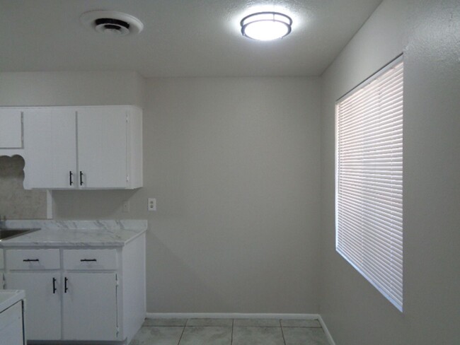
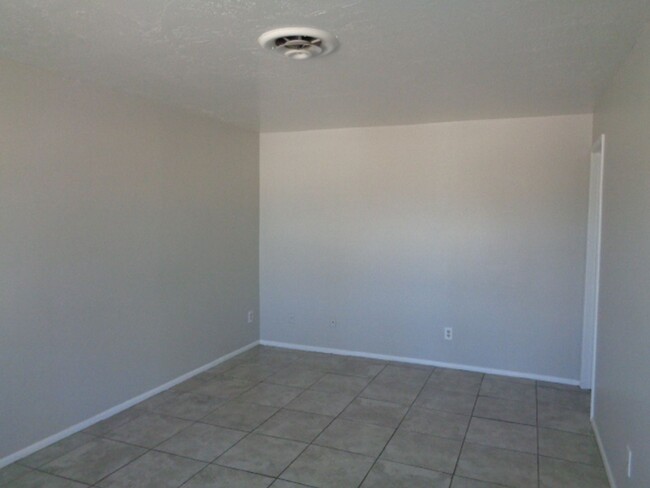

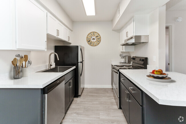
$1,050 / Month
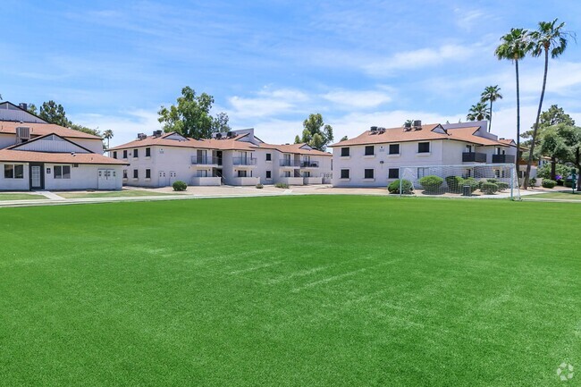
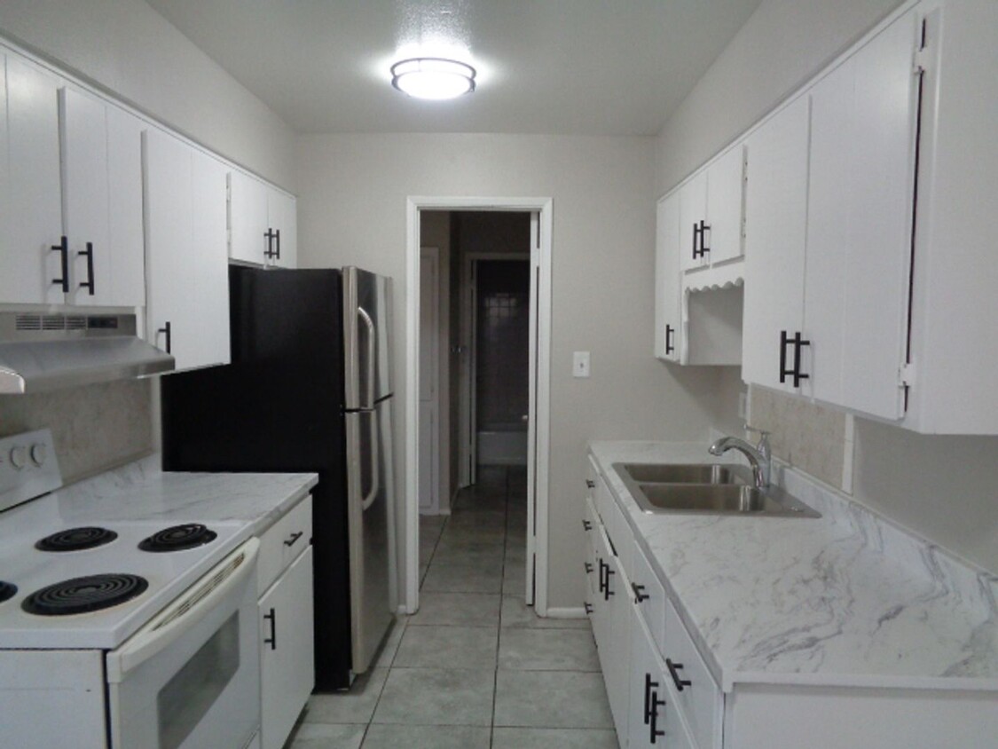
2604 W Pierson St Unit #3
Phoenix, AZ 85017
Today
Favorites
480-442-5849
-
Bedrooms
1
-
Bathrooms
1
-
Square Feet
600 sq ft
-
Available
Available Now
2604 W Pierson St Unit #3

Favorites
Contact
- Listed by KS | KS Sales & Property Management, LLC
- Phone Number
- Contact
Location
Get Directions
Westside is a neighborhood within Glendale, which was voted “Arizona’s Antique Capital” by Sunset magazine and USA Today. Many higher education schools are located near Westside, including Glendale Community College, Carrington College, and Arizona State University West campus. You’ll discover numerous pocket parks in the area, plus larger ones like Glendale Heroes Regional Park and Grand Canal Linear Park. Shopping and dining destinations are plentiful, especially at Arrowhead Towne Center Mall.
Learn more about living in Westside
Education
| Colleges & Universities | Distance | ||
|---|---|---|---|
| Colleges & Universities | Distance | ||
| Drive: | 6 min | 2.0 mi | |
| Drive: | 8 min | 3.3 mi | |
| Drive: | 8 min | 5.1 mi | |
| Drive: | 8 min | 5.1 mi |
2604 W Pierson St Unit #3 is within 6 minutes or 2.0 miles from Grand Canyon University. It is also near Phoenix College and Argosy University.
Transportation options available in Phoenix include 19Th Ave/Camelback, located 1.4 miles from 2604 W Pierson St Unit #3. 2604 W Pierson St Unit #3 is near Phoenix Sky Harbor International, located 11.6 miles or 18 minutes away, and Phoenix-Mesa Gateway, located 38.4 miles or 50 minutes away.
| Transit / Subway | Distance | ||
|---|---|---|---|
| Transit / Subway | Distance | ||
|
|
Drive: | 3 min | 1.4 mi |
|
|
Drive: | 5 min | 2.0 mi |
|
|
Drive: | 4 min | 2.1 mi |
|
|
Drive: | 5 min | 2.4 mi |
|
|
Drive: | 5 min | 3.0 mi |
| Commuter Rail | Distance | ||
|---|---|---|---|
| Commuter Rail | Distance | ||
|
|
Drive: | 50 min | 39.5 mi |
| Airports | Distance | ||
|---|---|---|---|
| Airports | Distance | ||
|
Phoenix Sky Harbor International
|
Drive: | 18 min | 11.6 mi |
|
Phoenix-Mesa Gateway
|
Drive: | 50 min | 38.4 mi |
Time and distance from 2604 W Pierson St Unit #3.
| Shopping Centers | Distance | ||
|---|---|---|---|
| Shopping Centers | Distance | ||
| Walk: | 5 min | 0.3 mi | |
| Walk: | 11 min | 0.6 mi | |
| Walk: | 17 min | 0.9 mi |
2604 W Pierson St Unit #3 has 3 shopping centers within 0.9 mile, which is about a 17-minute walk. The miles and minutes will be for the farthest away property.
| Parks and Recreation | Distance | ||
|---|---|---|---|
| Parks and Recreation | Distance | ||
|
Steele Indian School Park
|
Drive: | 8 min | 3.6 mi |
|
Maryvale Park
|
Drive: | 8 min | 4.0 mi |
|
Japanese Friendship Garden
|
Drive: | 9 min | 5.5 mi |
|
Desert Storm Park
|
Drive: | 11 min | 5.9 mi |
|
Margaret T. Hance Park
|
Drive: | 10 min | 7.0 mi |
2604 W Pierson St Unit #3 has 5 parks within 7.0 miles, including Steele Indian School Park, Maryvale Park, and Desert Storm Park.
| Hospitals | Distance | ||
|---|---|---|---|
| Hospitals | Distance | ||
| Drive: | 3 min | 1.8 mi | |
| Drive: | 5 min | 2.5 mi | |
| Drive: | 8 min | 4.1 mi |
2604 W Pierson St Unit #3 has 3 hospitals within 4.1 miles, the nearest is Abrazo Central Campus which is 1.8 miles away and a 3 minute drive.
| Military Bases | Distance | ||
|---|---|---|---|
| Military Bases | Distance | ||
| Drive: | 18 min | 11.4 mi | |
| Drive: | 28 min | 15.1 mi | |
| Drive: | 98 min | 74.8 mi |
2604 W Pierson St Unit #3 has 3 military bases within 74.8 miles, the nearest is Phoenix Sky Harbor Airport Air Guard Station which is 11.4 miles away and a 18 minute drive.
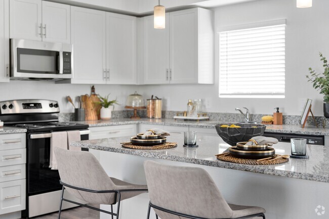
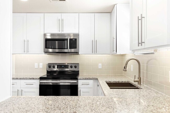
You May Also Like
Similar Rentals Nearby
-
-
-
-
-
1 / 9
-
-
-
-
-


What Are Walk Score®, Transit Score®, and Bike Score® Ratings?
Walk Score® measures the walkability of any address. Transit Score® measures access to public transit. Bike Score® measures the bikeability of any address.
What is a Sound Score Rating?
A Sound Score Rating aggregates noise caused by vehicle traffic, airplane traffic and local sources
2604 W Pierson St
Phoenix, AZ 85017