
$1,695 / Month
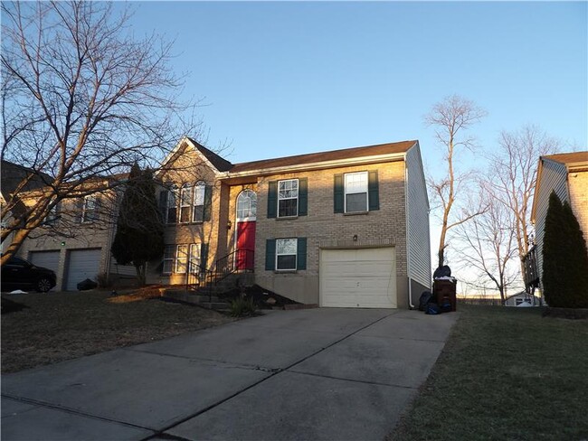
2728 Berwood Ln
Hebron, KY 41048
Today
Favorites
859-393-6211
-
Bedrooms
3
-
Bathrooms
2
-
Square Feet
1,200 sq ft
-
Available
Available Now
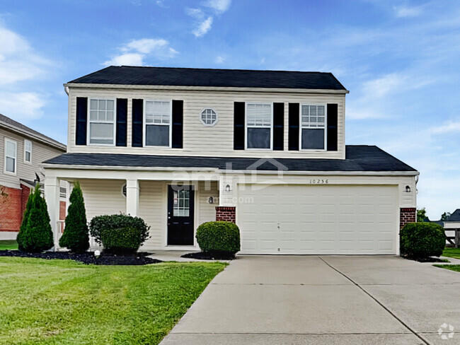
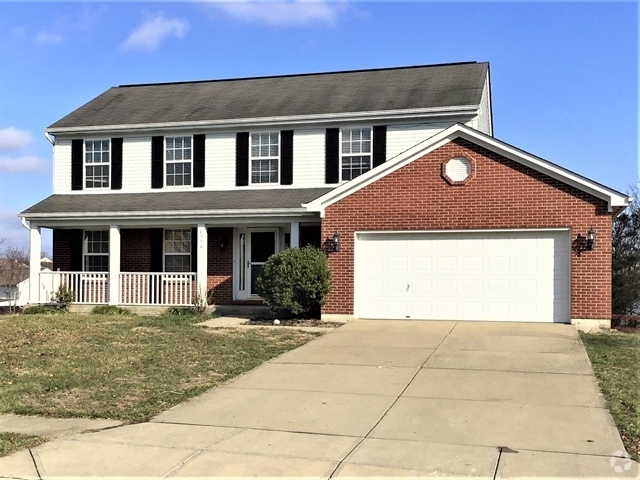
2728 Berwood Ln

Favorites
About This Home
Available Now
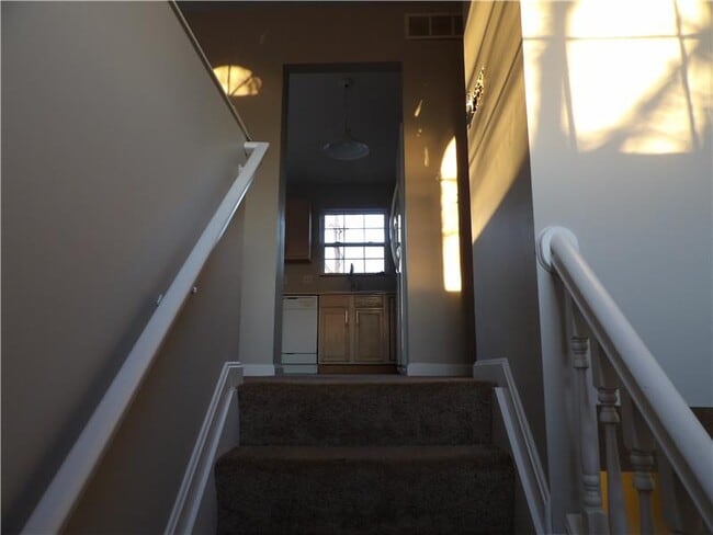
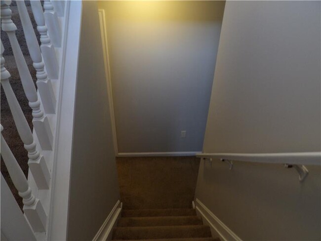
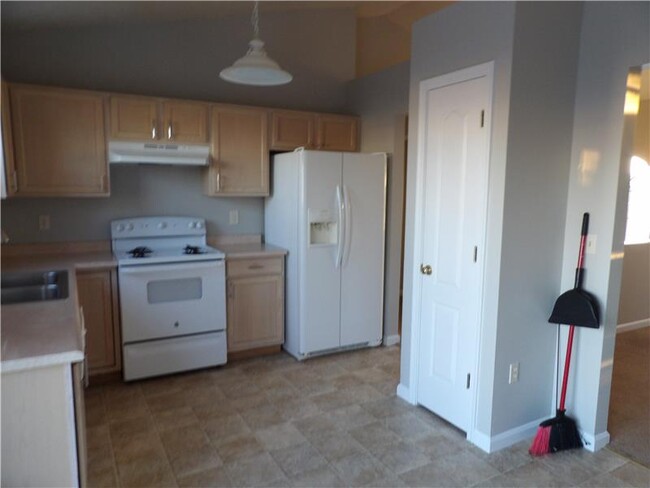
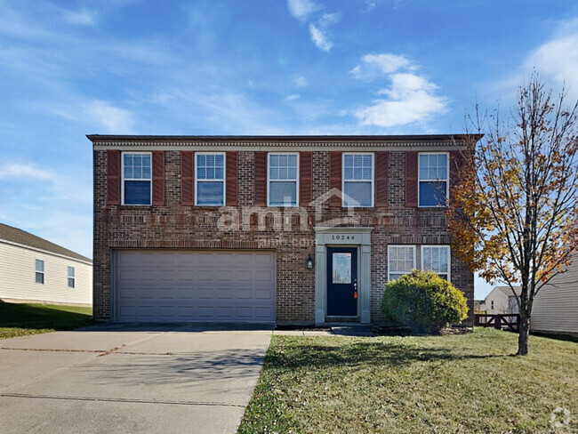
Welcome Home! This is a wonderfully located 3 bed room 2 bath home on a large lot. Sorry NO PETS ALLOWED. Lower level is finished. Home has 2 full baths. Ready to move in! 1 car garage. ***DEPOSIT $1795 RENT $1695***INCOME REQUIREMENTS***Bring Home Income (After taxes and deductions)MUST BE 3x the rent. Last 2 months bank statements and last 2 months paystubs due with application. Sorry no Vouchers ***All Occupants over 18 MUST COMPLETE A BACKGROUND CHECK. For info and showing contact Mike at 859*393*6211
2728 Berwood Ln is a house located in Boone County and the 41048 ZIP Code. This area is served by the Boone County attendance zone.
* Price shown is base rent and may not include non-optional fees and utilities.
Price, availability, fees, and any applicable rent special are subject to change without notice.
* Square footage definitions vary. Displayed square footage is approximate.
Contact
- Listed by Hillcrest Property Management
- Phone Number (859) 393-6211
- Contact
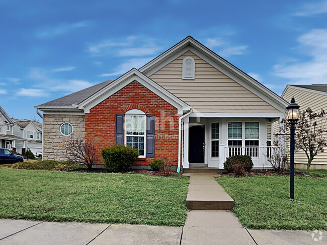
$1,786 / month
$297,000 Listing Price
3 Beds
•2.5 Baths
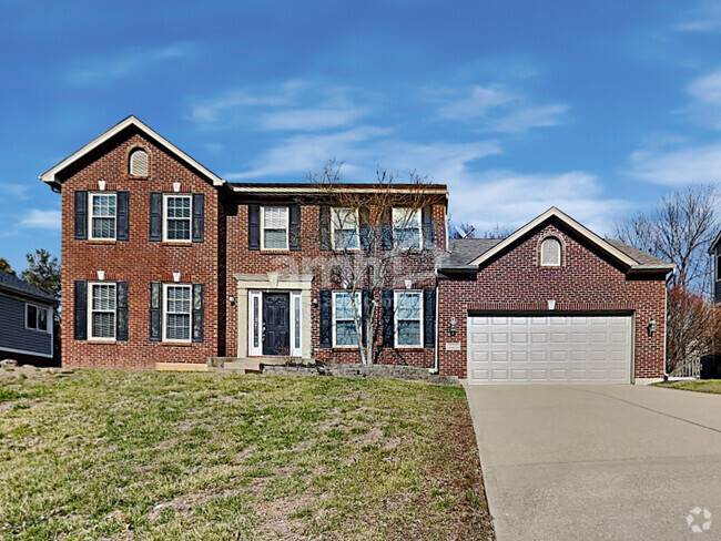
$1,726 / month
$260,000 Listing Price
3 Beds
•2 Baths
•
1,446 Sq Ft
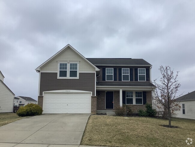
$1,720 / month
$249,900 Listing Price
4 Beds
•2 Baths
•
1,480 Sq Ft
Location
Get Directions
Located about ten miles west of Cincinnati, Hebron is a predominantly residential community in northern Kentucky. Hebron residents enjoy a slower pace of life and an overall tranquil atmosphere while still in close proximity to all that Cincinnati has to offer.
A slew of convenient stores and restaurants along Route 237 provide residents with a variety of everyday needs in Hebron. Recreational opportunities abound near Hebron, at Meadowood Golf Course, Boone Links Golf Course, and Gunpowder Creek Nature Park. Adjacent to Cincinnati Northern Kentucky International Airport and I-275, Hebron allows for simple commutes and travels.
Learn more about living in Hebron
Education
| Colleges & Universities | Distance | ||
|---|---|---|---|
| Colleges & Universities | Distance | ||
| Drive: | 34 min | 8.7 mi | |
| Drive: | 16 min | 10.9 mi | |
| Drive: | 31 min | 20.4 mi | |
| Drive: | 33 min | 20.4 mi |
2728 Berwood Ln is within 34 minutes or 8.7 miles from College of Mount St. Joseph. It is also near Thomas More College and University of Cincinnati.
Schools
Public Elementary School
Grades PK-5
633 Students
Attendance Zone
7
Out of 10
Public Middle School
Grades 6-8
896 Students
Attendance Zone
9
Out of 10
Public High School
Grades 9-12
1,443 Students
Attendance Zone
7
Out of 10
Private Elementary & Middle School
Grades PK-8
90 Students
Nearby
Private High School
Grades 9-12
478 Students
Nearby
School data provided by
GreatSchools
The GreatSchools Rating helps parents compare schools within a state based on a variety of school quality indicators and provides a helpful picture of how effectively each school serves all of its students. Ratings are on a scale of 1 (below average) to 10 (above average) and can include test scores, college readiness, academic progress, advanced courses, equity, discipline and attendance data. We also advise parents to visit schools, consider other information on school performance and programs, and consider family needs as part of the school selection process.
Transportation options available in Hebron include 14Th & Elm Station, located 16.7 miles from 2728 Berwood Ln. 2728 Berwood Ln is near Cincinnati/Northern Kentucky International, located 9.3 miles or 21 minutes away.
| Transit / Subway | Distance | ||
|---|---|---|---|
| Transit / Subway | Distance | ||
| Drive: | 27 min | 16.7 mi | |
| Drive: | 27 min | 17.0 mi | |
| Drive: | 28 min | 17.0 mi | |
| Drive: | 28 min | 17.1 mi | |
| Drive: | 28 min | 17.4 mi |
| Commuter Rail | Distance | ||
|---|---|---|---|
| Commuter Rail | Distance | ||
|
|
Drive: | 28 min | 17.3 mi |
| Airports | Distance | ||
|---|---|---|---|
| Airports | Distance | ||
|
Cincinnati/Northern Kentucky International
|
Drive: | 21 min | 9.3 mi |
Time and distance from 2728 Berwood Ln.
| Shopping Centers | Distance | ||
|---|---|---|---|
| Shopping Centers | Distance | ||
| Drive: | 5 min | 1.3 mi | |
| Drive: | 5 min | 2.1 mi | |
| Drive: | 5 min | 2.2 mi |
2728 Berwood Ln has 3 shopping centers within 2.2 miles, which is about a 5-minute drive. The miles and minutes will be for the farthest away property.
| Parks and Recreation | Distance | ||
|---|---|---|---|
| Parks and Recreation | Distance | ||
|
Boone County Arboretum
|
Drive: | 16 min | 8.7 mi |
|
Wilson Commons
|
Drive: | 28 min | 18.5 mi |
|
Imago Earth Center
|
Drive: | 31 min | 19.6 mi |
|
Embshoff Woods
|
Drive: | 34 min | 21.2 mi |
|
Fernbank Park
|
Drive: | 32 min | 22.6 mi |
2728 Berwood Ln has 5 parks within 22.6 miles, including Embshoff Woods, Boone County Arboretum, and Imago Earth Center.
| Hospitals | Distance | ||
|---|---|---|---|
| Hospitals | Distance | ||
| Drive: | 15 min | 8.5 mi | |
| Drive: | 14 min | 9.1 mi | |
| Drive: | 18 min | 11.6 mi |
2728 Berwood Ln has 3 hospitals within 11.6 miles, the nearest is St. Elizabeth Florence which is 8.5 miles away and a 15 minute drive.
| Military Bases | Distance | ||
|---|---|---|---|
| Military Bases | Distance | ||
| Drive: | 94 min | 70.8 mi | |
| Drive: | 100 min | 75.9 mi | |
| Drive: | 102 min | 79.2 mi |
2728 Berwood Ln has 3 military bases within 79.2 miles, the nearest is Gentile Air Force Station which is 70.8 miles away and a 94 minute drive.
You May Also Like
Similar Rentals Nearby
-
-
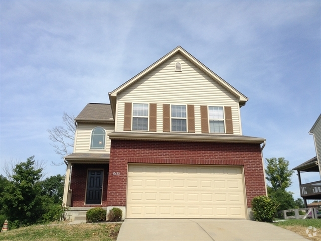
 $2,4154 Beds, 2.5 Baths, 1,670 sq ftHouse for Rent
 -
 $2,4254 Beds, 3.5 Baths, 1,955 sq ftHouse for Rent
 -
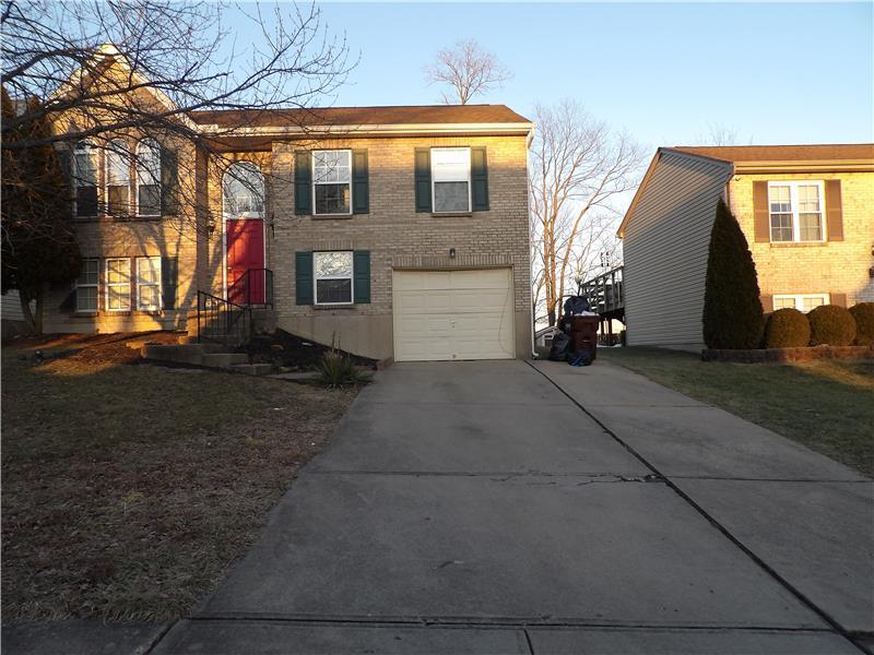
 $2,0703 Beds, 2 Baths, 1,617 sq ftHouse for Rent
 -
 $2,3654 Beds, 2.5 Baths, 2,076 sq ftHouse for Rent
 -
 $2,3954 Beds, 2.5 Baths, 2,004 sq ftHouse for Rent
 -
 $2,3253 Beds, 2.5 Baths, 1,993 sq ftHouse for Rent
 -
 $2,3903 Beds, 2.5 Baths, 2,151 sq ftHouse for Rent
 -
 $2,1754 Beds, 2.5 Baths, 1,829 sq ftHouse for Rent
 -
 $2,1953 Beds, 2.5 Baths, 1,734 sq ftHouse for Rent
What Are Walk Score®, Transit Score®, and Bike Score® Ratings?
Walk Score® measures the walkability of any address. Transit Score® measures access to public transit. Bike Score® measures the bikeability of any address.
What is a Sound Score Rating?
A Sound Score Rating aggregates noise caused by vehicle traffic, airplane traffic and local sources
2728 Berwood Ln
Hebron, KY 41048