2728 Mayfield Ave
La Crescenta-Montrose, CA 91214

Check Back Soon for Upcoming Availability
| Beds | Baths | Average SF |
|---|---|---|
| 2 Bedrooms 2 Bedrooms 2 Br | 1 Bath 1 Bath 1 Ba | 700 SF |
About This Property
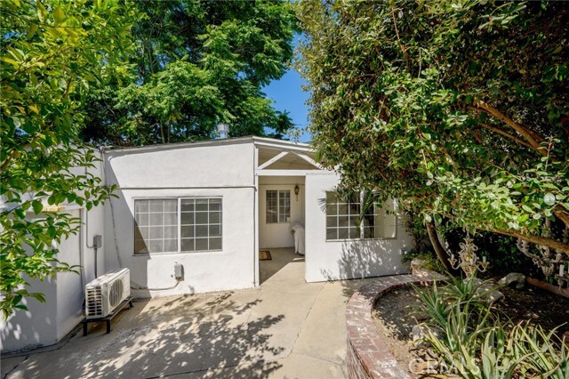
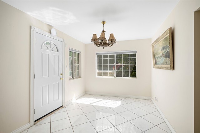
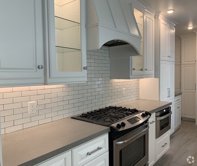
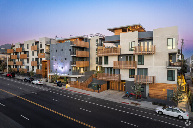
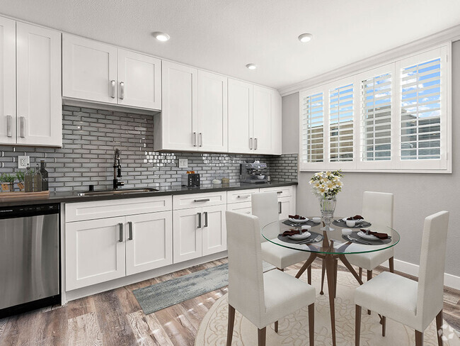
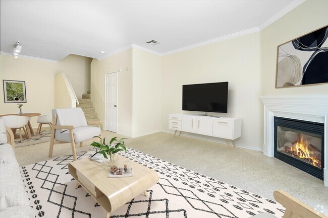
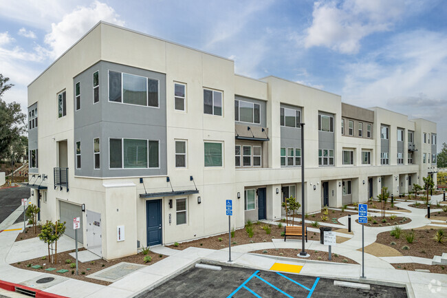
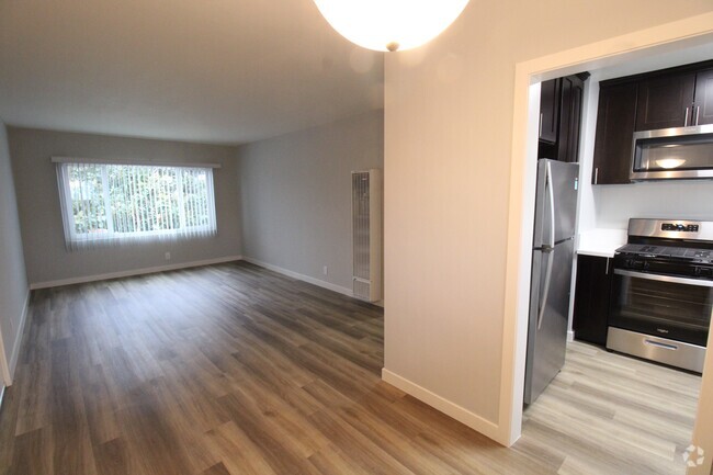
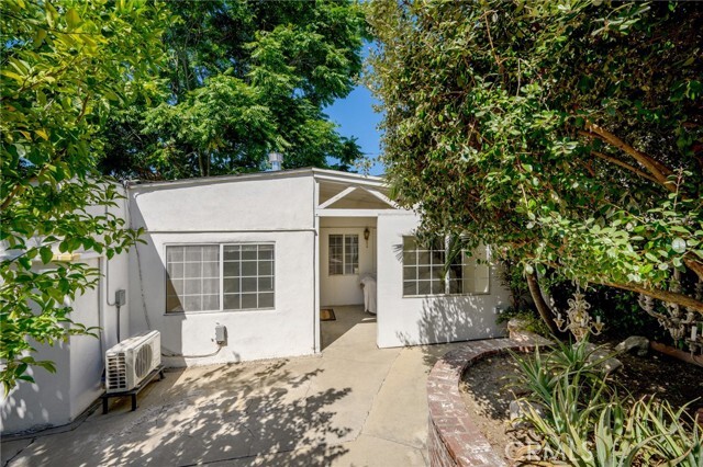
Part Of A 3 Unit Complex * 2 Bedrooms / 1 Bathroom * 700sqft * Updated * Dining Area * Walk-In Closet * Covered Patio * Laundry Included * ALL Utilities Included * 2 Car Tandem Parking * No Pets
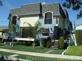
2728 Mayfield Ave is a townhome located in Los Angeles County and the 91214 ZIP Code. This area is served by the Glendale Unified attendance zone.
Townhome Features
- Air Conditioning
- Heating
Fees and Policies
The fees below are based on community-supplied data and may exclude additional fees and utilities.
Nestled at the base of Angeles National Forest, La Crescenta-Montrose is a picturesque suburb with gorgeous views of the San Gabriel Mountains. Although the neighborhood is predominantly residential, locals enjoy a diverse array of shops and restaurants strewn along Foothill Boulevard.
La Crescenta-Montrose is often a top choice among commuters for its convenient location near the 210 Freeway, Burbank, Glendale, and Pasadena. Downtown Los Angeles is also just a short drive away from the neighborhood.
When you’re not hiking or biking in Angeles National Forest, be sure to explore some of the area’s major attractions nearby, including Rose Bowl Stadium, Griffith Park, Jet Propulsion Laboratory, and the Norton Simon Museum.
Learn more about living in La Crescenta-MontroseBelow are rent ranges for similar nearby apartments
- Air Conditioning
- Heating
| Colleges & Universities | Distance | ||
|---|---|---|---|
| Colleges & Universities | Distance | ||
| Drive: | 8 min | 5.4 mi | |
| Drive: | 13 min | 7.1 mi | |
| Drive: | 14 min | 8.3 mi | |
| Drive: | 19 min | 10.8 mi |
 The GreatSchools Rating helps parents compare schools within a state based on a variety of school quality indicators and provides a helpful picture of how effectively each school serves all of its students. Ratings are on a scale of 1 (below average) to 10 (above average) and can include test scores, college readiness, academic progress, advanced courses, equity, discipline and attendance data. We also advise parents to visit schools, consider other information on school performance and programs, and consider family needs as part of the school selection process.
View GreatSchools Rating Methodology
Transportation options available in La Crescenta-Montrose include Memorial Park Station, located 8.4 miles from 2728 Mayfield Ave. 2728 Mayfield Ave is near Bob Hope, located 10.9 miles or 19 minutes away, and Los Angeles International, located 28.2 miles or 42 minutes away.
| Transit / Subway | Distance | ||
|---|---|---|---|
| Transit / Subway | Distance | ||
|
|
Drive: | 11 min | 8.4 mi |
|
|
Drive: | 12 min | 8.7 mi |
|
|
Drive: | 11 min | 9.1 mi |
|
|
Drive: | 13 min | 9.3 mi |
|
|
Drive: | 17 min | 10.4 mi |
| Commuter Rail | Distance | ||
|---|---|---|---|
| Commuter Rail | Distance | ||
|
|
Drive: | 15 min | 9.7 mi |
|
|
Drive: | 17 min | 9.9 mi |
|
|
Drive: | 13 min | 10.0 mi |
| Drive: | 18 min | 10.7 mi | |
|
|
Drive: | 20 min | 11.7 mi |
| Airports | Distance | ||
|---|---|---|---|
| Airports | Distance | ||
|
Bob Hope
|
Drive: | 19 min | 10.9 mi |
|
Los Angeles International
|
Drive: | 42 min | 28.2 mi |
Time and distance from 2728 Mayfield Ave.
| Shopping Centers | Distance | ||
|---|---|---|---|
| Shopping Centers | Distance | ||
| Walk: | 10 min | 0.6 mi | |
| Walk: | 14 min | 0.8 mi | |
| Drive: | 2 min | 1.2 mi |
| Parks and Recreation | Distance | ||
|---|---|---|---|
| Parks and Recreation | Distance | ||
|
Descanso Gardens
|
Drive: | 6 min | 2.3 mi |
|
La Tuna Canyon Park
|
Drive: | 7 min | 4.3 mi |
|
Jet Propulsion Laboratory
|
Drive: | 8 min | 5.9 mi |
|
Kidspace Children's Museum
|
Drive: | 11 min | 7.8 mi |
|
Los Angeles Zoo
|
Drive: | 22 min | 13.3 mi |
| Hospitals | Distance | ||
|---|---|---|---|
| Hospitals | Distance | ||
| Drive: | 4 min | 1.8 mi | |
| Drive: | 10 min | 6.3 mi | |
| Drive: | 13 min | 10.0 mi |
| Military Bases | Distance | ||
|---|---|---|---|
| Military Bases | Distance | ||
| Drive: | 39 min | 29.8 mi |
You May Also Like
Similar Rentals Nearby
-
-
-
-
-
-
-
-
1 / 50
-
-
What Are Walk Score®, Transit Score®, and Bike Score® Ratings?
Walk Score® measures the walkability of any address. Transit Score® measures access to public transit. Bike Score® measures the bikeability of any address.
What is a Sound Score Rating?
A Sound Score Rating aggregates noise caused by vehicle traffic, airplane traffic and local sources
