
$825 / Month
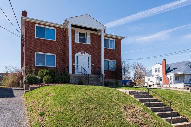
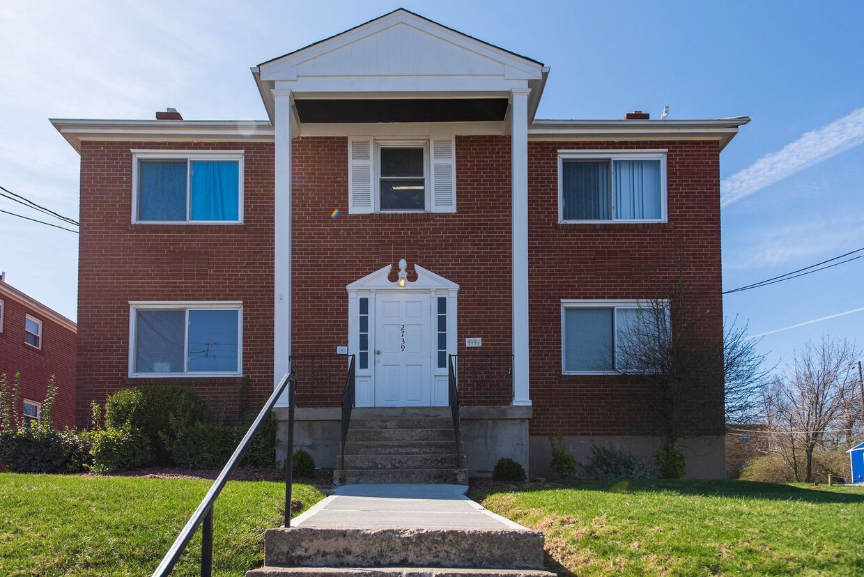
2739 W North Bend Rd
Cincinnati, OH 45239
2 Weeks Ago
Favorites
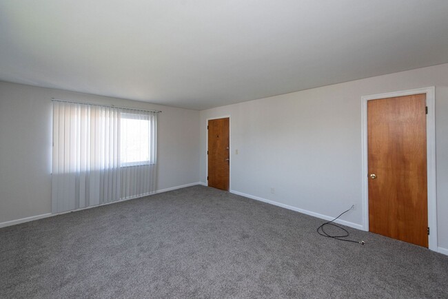
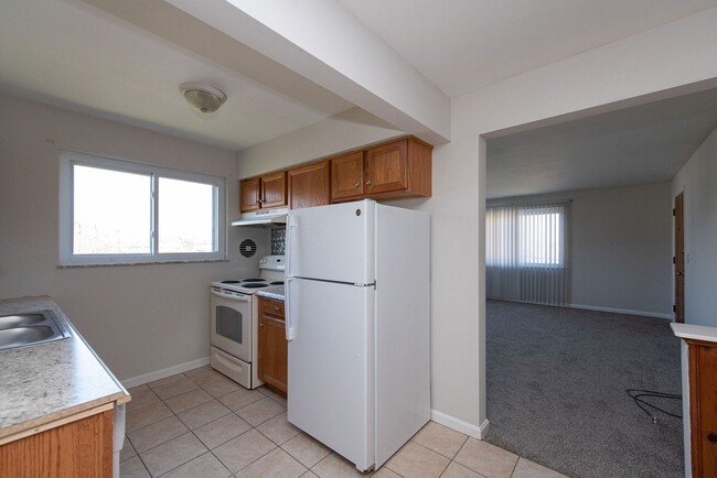
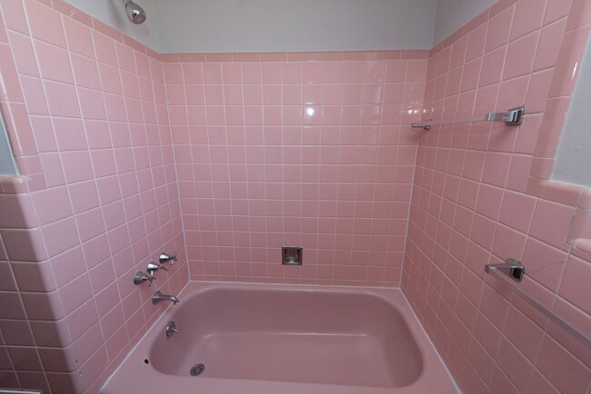
2739 W North Bend Rd Unit 4

Favorites
Check Back Soon for Upcoming Availability
| Beds | Baths | Average SF |
|---|---|---|
| 1 Bedroom 1 Bedroom 1 Br | 1 Bath 1 Bath 1 Ba | — |
Property Address:
2739 W North Bend Rd,
Cincinnati,
OH
45239
Mount Airy is a classic suburban neighborhood with peaceful streets lined with single-family homes. Interstate 74 and Highway 22 makes the seven mile drive into Downtown Cincinnati and beyond accessible, but Mount Airy has a lot to offer from within. Its southern border encompasses Mount Airy Forest, which provides residents with outdoor fun. There are also a few fast food restaurants within the neighborhood, but residents can easily travel to the surrounding areas or into downtown for a diverse selection of restaurants. Renters will find that they have a few affordable options of apartments in longstanding brick buildings to choose from.
Learn more about living in Mount AiryBelow are rent ranges for similar nearby apartments
Education
| Colleges & Universities | Distance | ||
|---|---|---|---|
| Colleges & Universities | Distance | ||
| Drive: | 12 min | 4.7 mi | |
| Drive: | 13 min | 6.4 mi | |
| Drive: | 15 min | 6.8 mi | |
| Drive: | 19 min | 8.4 mi |
2739 W North Bend Rd Unit 4 is within 12 minutes or 4.7 miles from Cincinnati State. It is also near University of Cincinnati and Univ. of Cincinnati, Medical.
Transportation options available in Cincinnati include Brewery District Station, Elm & Henry, located 7.1 miles from 2739 W North Bend Rd Unit 4. 2739 W North Bend Rd Unit 4 is near Cincinnati/Northern Kentucky International, located 21.1 miles or 38 minutes away.
| Transit / Subway | Distance | ||
|---|---|---|---|
| Transit / Subway | Distance | ||
| Drive: | 14 min | 7.1 mi | |
| Drive: | 14 min | 7.2 mi | |
| Drive: | 15 min | 7.3 mi | |
| Drive: | 15 min | 7.3 mi | |
| Drive: | 15 min | 7.4 mi |
| Commuter Rail | Distance | ||
|---|---|---|---|
| Commuter Rail | Distance | ||
|
|
Drive: | 14 min | 7.0 mi |
| Airports | Distance | ||
|---|---|---|---|
| Airports | Distance | ||
|
Cincinnati/Northern Kentucky International
|
Drive: | 38 min | 21.1 mi |
Time and distance from 2739 W North Bend Rd Unit 4.
| Shopping Centers | Distance | ||
|---|---|---|---|
| Shopping Centers | Distance | ||
| Drive: | 3 min | 1.3 mi | |
| Drive: | 4 min | 1.5 mi | |
| Drive: | 3 min | 1.5 mi |
2739 W North Bend Rd Unit 4 has 3 shopping centers within 1.5 miles, which is about a 3-minute drive. The miles and minutes will be for the farthest away property.
| Parks and Recreation | Distance | ||
|---|---|---|---|
| Parks and Recreation | Distance | ||
|
Mt. Airy Forest
|
Drive: | 5 min | 2.0 mi |
|
LaBoiteaux Woods
|
Drive: | 6 min | 2.7 mi |
|
Buttercup Valley
|
Drive: | 8 min | 3.1 mi |
|
Farbach-Werner Nature Preserve
|
Drive: | 9 min | 3.8 mi |
|
Caldwell Preserve
|
Drive: | 12 min | 5.5 mi |
2739 W North Bend Rd Unit 4 has 5 parks within 5.5 miles, including Mt. Airy Forest, LaBoiteaux Woods, and Buttercup Valley.
| Hospitals | Distance | ||
|---|---|---|---|
| Hospitals | Distance | ||
| Drive: | 6 min | 2.5 mi | |
| Drive: | 12 min | 5.6 mi | |
| Drive: | 15 min | 6.9 mi |
2739 W North Bend Rd Unit 4 has 3 hospitals within 6.9 miles, the nearest is Mercy Health - West Hospital which is 2.5 miles away and a 6 minutes drive.
| Military Bases | Distance | ||
|---|---|---|---|
| Military Bases | Distance | ||
| Drive: | 72 min | 52.9 mi | |
| Drive: | 78 min | 57.9 mi | |
| Drive: | 80 min | 61.2 mi |
2739 W North Bend Rd Unit 4 has 3 military bases within 61.2 miles, the nearest is Gentile Air Force Station which is 52.9 miles away and a 72 minutes .
You May Also Like
Similar Rentals Nearby


What Are Walk Score®, Transit Score®, and Bike Score® Ratings?
Walk Score® measures the walkability of any address. Transit Score® measures access to public transit. Bike Score® measures the bikeability of any address.
What is a Sound Score Rating?
A Sound Score Rating aggregates noise caused by vehicle traffic, airplane traffic and local sources
2739 W North Bend Rd
Cincinnati, OH 45239