$3,000 / Month
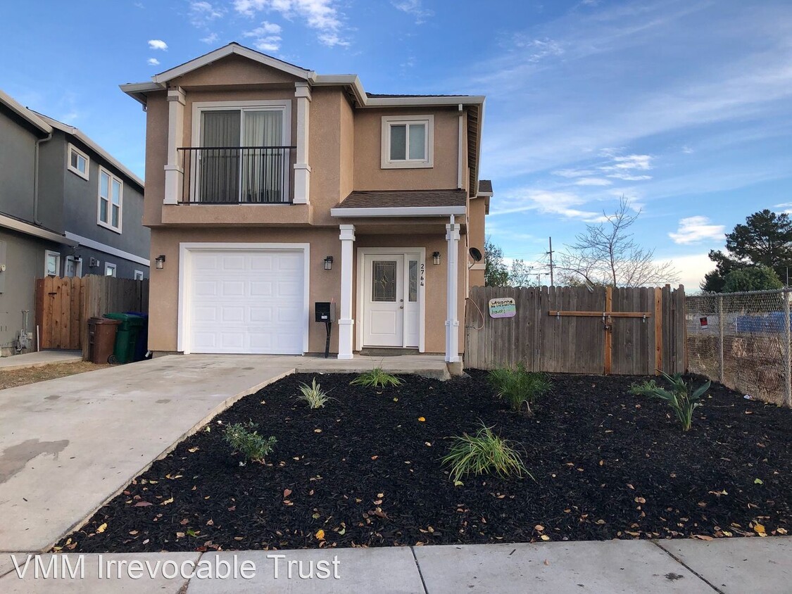
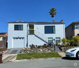
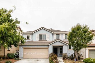
2764 10th St
San Pablo, CA 94806
2 Weeks Ago
Favorites
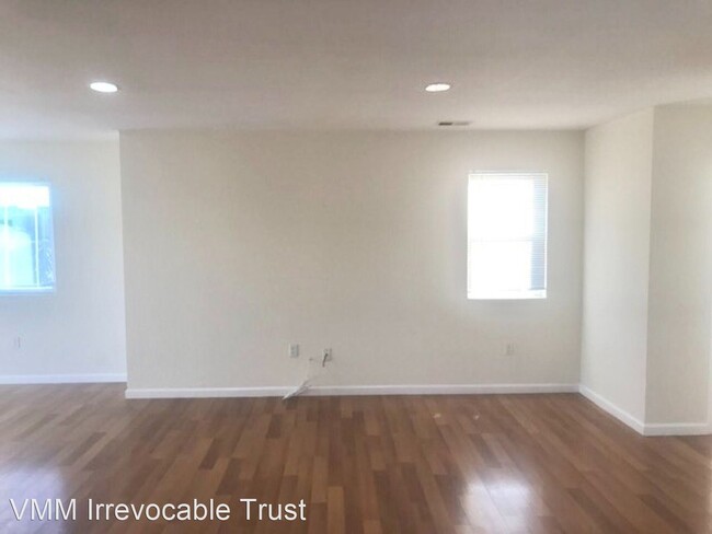
2764 10th St

Favorites
Check Back Soon for Upcoming Availability
| Beds | Baths | Average SF |
|---|---|---|
| 4 Bedrooms 4 Bedrooms 4 Br | 2.5 Baths 2.5 Baths 2.5 Ba | — |
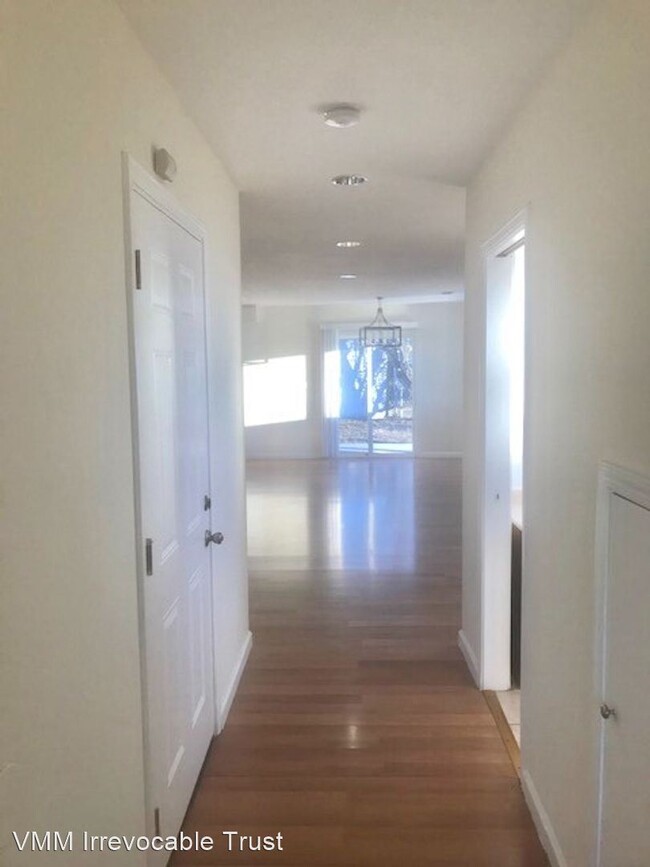
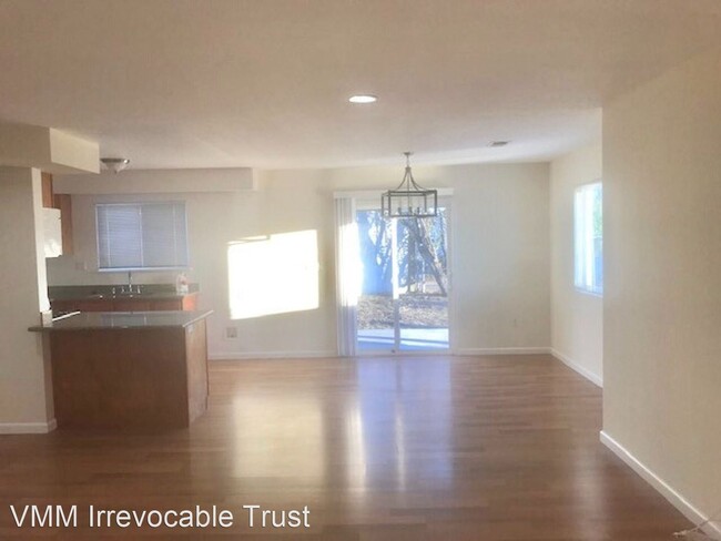
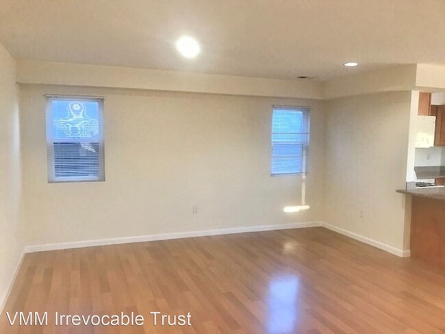
About This Property
(510) 562-5053 - 4 Bedroom 2.5 Bathroom In San Pablo House - AVAILABLE NOW !!!! - Recently Updated 4 Bedroom 2.5 Bathroom House Off Street Parking ( Garage ), with Front and Backyard Washer and Dryer Hook ups with Central Heating System Call one of our leasing agents for more information 510-530-1005 (RLNE6273469)
2764 10th St is a house located in Contra Costa County and the 94806 ZIP Code. This area is served by the West Contra Costa Unified attendance zone.
Location
Get Directions
Completely encompassed by the city of Richmond, San Pablo is a unique city nearing the coast of both the San Francisco Bay and San Pablo Bay. Beautiful bay views along the west coast are always a plus in our book! And on the other end of town, San Pablo borders Wildcat Canyon Regional Park. Though wildcat sightings are unlikely, these picturesque rolling hills are more known for their multi-use trails, playgrounds, and scenic picnic spots.
San Pablo boasts a diverse community with relatively affordable housing in comparison to neighboring cities. The city’s tight-knit community supports education and community growth, and Contra Costa College is a pristine example of that with its welcoming atmosphere and numerous athletic programs.
Along with a family-friendly vibe, San Pablo is a great place to find everyday conveniences such as casual dining, grocery stores, banks, and more.
Learn more about living in San Pablo
Education
| Colleges & Universities | Distance | ||
|---|---|---|---|
| Colleges & Universities | Distance | ||
| Drive: | 4 min | 1.2 mi | |
| Drive: | 19 min | 10.5 mi | |
| Drive: | 23 min | 11.6 mi | |
| Drive: | 24 min | 14.0 mi |
2764 10th St is within 4 minutes or 1.2 miles from Contra Costa College. It is also near Berkeley City College and UC Berkeley.
Schools


Public Elementary School
Grades K-5
270 Students
Nearby
Public Elementary School
Grades K-6
325 Students
Attendance Zone
Public Middle School
Grades 6-8
401 Students
Attendance Zone
Public High School
Grades 9-12
1,237 Students
Attendance Zone
Private Elementary & Middle School
Grades PK-8
225 Students
Nearby
Private Elementary, Middle & High School
Grades 2-12
22 Students
Nearby
School data provided by
 The GreatSchools Rating helps parents compare schools within a state based on a variety of school quality indicators and provides a helpful picture of how effectively each school serves all of its students. Ratings are on a scale of 1 (below average) to 10 (above average) and can include test scores, college readiness, academic progress, advanced courses, equity, discipline and attendance data. We also advise parents to visit schools, consider other information on school performance and programs, and consider family needs as part of the school selection process.
View GreatSchools Rating Methodology
View GreatSchools Rating Methodology
Transportation options available in San Pablo include Richmond Station, located 3.1 miles from 2764 10th St. 2764 10th St is near Metro Oakland International, located 23.6 miles or 34 minutes away, and San Francisco International, located 31.2 miles or 46 minutes away.
| Transit / Subway | Distance | ||
|---|---|---|---|
| Transit / Subway | Distance | ||
|
|
Drive: | 7 min | 3.1 mi |
|
|
Drive: | 9 min | 4.2 mi |
|
|
Drive: | 12 min | 6.3 mi |
|
|
Drive: | 18 min | 10.1 mi |
|
|
Drive: | 19 min | 10.7 mi |
| Commuter Rail | Distance | ||
|---|---|---|---|
| Commuter Rail | Distance | ||
|
|
Drive: | 15 min | 9.2 mi |
|
|
Drive: | 17 min | 11.0 mi |
| Drive: | 22 min | 12.2 mi | |
| Drive: | 22 min | 13.1 mi | |
| Drive: | 26 min | 16.5 mi |
| Airports | Distance | ||
|---|---|---|---|
| Airports | Distance | ||
|
Metro Oakland International
|
Drive: | 34 min | 23.6 mi |
|
San Francisco International
|
Drive: | 46 min | 31.2 mi |
Time and distance from 2764 10th St.
| Shopping Centers | Distance | ||
|---|---|---|---|
| Shopping Centers | Distance | ||
| Walk: | 18 min | 1.0 mi | |
| Drive: | 3 min | 1.2 mi | |
| Drive: | 3 min | 1.3 mi |
2764 10th St has 3 shopping centers within 1.3 miles, which is about a 3-minute walk. The miles and minutes will be for the farthest away property.
| Parks and Recreation | Distance | ||
|---|---|---|---|
| Parks and Recreation | Distance | ||
|
Point Pinole Regional Shoreline
|
Drive: | 6 min | 2.2 mi |
|
Marina Park & Green
|
Drive: | 10 min | 4.6 mi |
|
Rosie the Riveter WWII Home Front National Historical Park
|
Drive: | 11 min | 5.0 mi |
|
Shimada Friendship Park
|
Drive: | 11 min | 5.1 mi |
|
Miller/Knox Regional Shoreline
|
Drive: | 12 min | 5.9 mi |
2764 10th St has 5 parks within 5.9 miles, including Point Pinole Regional Shoreline, Rosie the Riveter WWII Home Front National Historical Park, and Marina Park & Green.
| Hospitals | Distance | ||
|---|---|---|---|
| Hospitals | Distance | ||
| Drive: | 22 min | 12.1 mi |
2764 10th St is 12.1 miles and a 22 minute drive from Alta Bates Summit Medical Center - Alta Bates Campus.
| Military Bases | Distance | ||
|---|---|---|---|
| Military Bases | Distance | ||
| Drive: | 4 min | 1.3 mi | |
| Drive: | 15 min | 6.9 mi | |
| Drive: | 29 min | 17.8 mi |
2764 10th St has 3 military bases within 17.8 miles, the nearest is Armory West Contra Costa which is 1.3 miles away and a 4 minute drive.
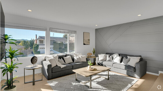
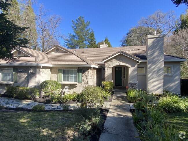
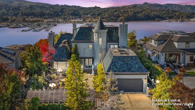
You May Also Like
Similar Rentals Nearby


What Are Walk Score®, Transit Score®, and Bike Score® Ratings?
Walk Score® measures the walkability of any address. Transit Score® measures access to public transit. Bike Score® measures the bikeability of any address.
What is a Sound Score Rating?
A Sound Score Rating aggregates noise caused by vehicle traffic, airplane traffic and local sources

2764 10th St
San Pablo, CA 94806