
$2,400 / Month
279 Osgood St Unit 1
North Andover, MA 01845
2 Weeks Ago
Favorites
279 Osgood St Unit 1

Favorites
Check Back Soon for Upcoming Availability
| Beds | Baths | Average SF |
|---|---|---|
| 3 Bedrooms 3 Bedrooms 3 Br | 2 Baths 2 Baths 2 Ba | 1,700 SF |
About This Property
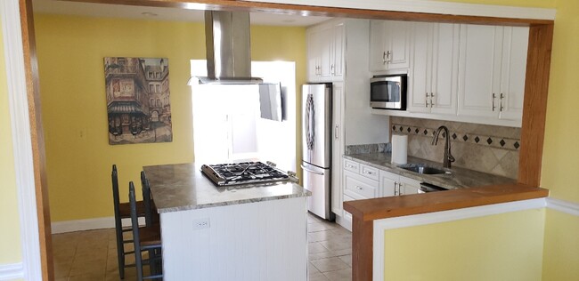
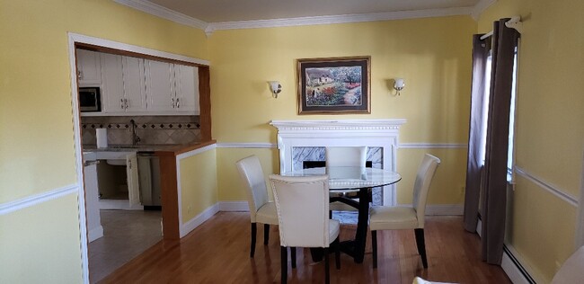
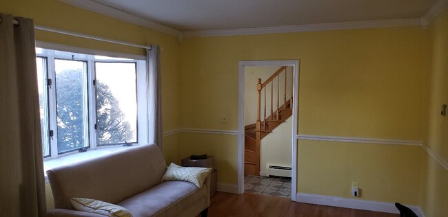
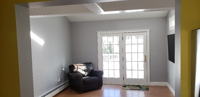
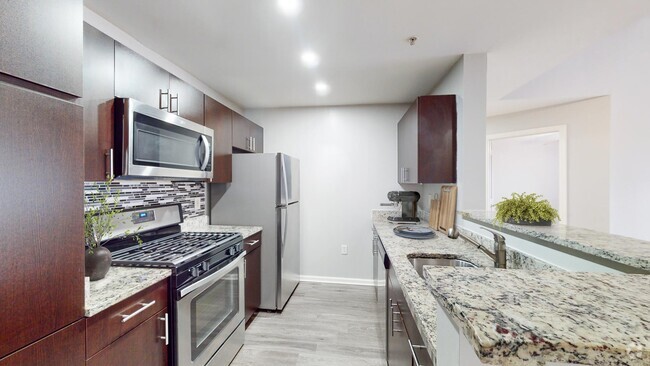
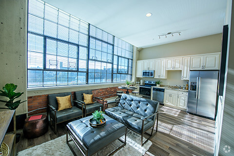
This is a beautiful well maintained 2 family home in a desirable area of North Andover , minutes away from rt 125 and downtown N. Andover. It's very quiet and includes 3 bedrooms with a deck and yard space. A shed in the yard to store your belongings. please call me with any questions you may have. only serious renters with good credit and employment history. Ann only a few pieces of furniture there as seen in photos.
279 Osgood St is an apartment community located in Essex County and the 01845 ZIP Code.
Apartment Features
- Washer/Dryer
- Furnished
- Deck
- Yard
Fees and Policies
The fees below are based on community-supplied data and may exclude additional fees and utilities.
- Cats Allowed
-
Fees not specified
-
Weight limit--
-
Pet Limit--
- Parking
-
Covered--
Details
Utilities Included
-
Water
-
Sewer
Property Information
-
2 units
-
Furnished Units Available
Location
Get Directions
Below are rent ranges for similar nearby apartments
Amenities
- Washer/Dryer
- Furnished
- Deck
- Yard
Expenses
Utilities Included
Water, Sewer
Included
Education
| Colleges & Universities | Distance | ||
|---|---|---|---|
| Colleges & Universities | Distance | ||
| Drive: | 4 min | 2.1 mi | |
| Drive: | 20 min | 9.8 mi | |
| Drive: | 25 min | 12.2 mi | |
| Drive: | 20 min | 12.7 mi |
279 Osgood St Unit 1 is within 4 minutes or 2.1 miles from Merrimack College. It is also near Northern Essex Comm. Coll. and North Shore C.C., Danvers.
Transportation options available in North Andover include Oak Grove Station, located 19.2 miles from 279 Osgood St Unit 1. 279 Osgood St Unit 1 is near General Edward Lawrence Logan International, located 29.1 miles or 43 minutes away, and Manchester Boston Regional, located 29.2 miles or 47 minutes away.
| Transit / Subway | Distance | ||
|---|---|---|---|
| Transit / Subway | Distance | ||
|
|
Drive: | 32 min | 19.2 mi |
|
|
Drive: | 32 min | 22.6 mi |
| Drive: | 32 min | 22.8 mi | |
| Drive: | 33 min | 23.2 mi | |
|
|
Drive: | 35 min | 23.8 mi |
| Commuter Rail | Distance | ||
|---|---|---|---|
| Commuter Rail | Distance | ||
|
|
Drive: | 6 min | 2.5 mi |
|
|
Drive: | 6 min | 3.1 mi |
|
|
Drive: | 11 min | 5.5 mi |
|
|
Drive: | 13 min | 6.4 mi |
|
|
Drive: | 13 min | 6.5 mi |
| Airports | Distance | ||
|---|---|---|---|
| Airports | Distance | ||
|
General Edward Lawrence Logan International
|
Drive: | 43 min | 29.1 mi |
|
Manchester Boston Regional
|
Drive: | 47 min | 29.2 mi |
Time and distance from 279 Osgood St Unit 1.
| Shopping Centers | Distance | ||
|---|---|---|---|
| Shopping Centers | Distance | ||
| Walk: | 8 min | 0.4 mi | |
| Walk: | 19 min | 1.0 mi | |
| Drive: | 4 min | 1.7 mi |
279 Osgood St Unit 1 has 3 shopping centers within 1.7 miles, which is about a 4-minute walk. The miles and minutes will be for the farthest away property.
| Parks and Recreation | Distance | ||
|---|---|---|---|
| Parks and Recreation | Distance | ||
|
Stevens-Coolidge Place
|
Walk: | 16 min | 0.9 mi |
|
Lawrence Heritage State Park
|
Drive: | 6 min | 3.1 mi |
|
Smolak Farms
|
Drive: | 7 min | 3.1 mi |
|
Windrush Farm
|
Drive: | 14 min | 6.0 mi |
|
Bradford Ski Area
|
Drive: | 17 min | 7.4 mi |
279 Osgood St Unit 1 has 5 parks within 7.4 miles, including Stevens-Coolidge Place, Lawrence Heritage State Park, and Smolak Farms.
| Hospitals | Distance | ||
|---|---|---|---|
| Hospitals | Distance | ||
| Drive: | 10 min | 4.8 mi | |
| Drive: | 14 min | 7.4 mi |
279 Osgood St Unit 1 is 4.8 miles from Holy Family Hospital, and is convenient to other hospitals, including Whittier Pavilion.
| Military Bases | Distance | ||
|---|---|---|---|
| Military Bases | Distance | ||
| Drive: | 38 min | 19.7 mi | |
| Drive: | 45 min | 22.8 mi | |
| Drive: | 37 min | 24.5 mi |
279 Osgood St Unit 1 has 3 military bases within 24.5 miles, the nearest is Fort Pickering which is 19.7 miles away and a 38 minute drive.
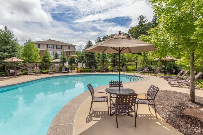
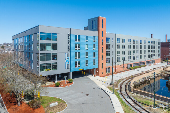
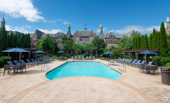
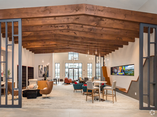
You May Also Like
Similar Rentals Nearby
-
-
-
-
-
-
-
-
-
-
1 / 23


What Are Walk Score®, Transit Score®, and Bike Score® Ratings?
Walk Score® measures the walkability of any address. Transit Score® measures access to public transit. Bike Score® measures the bikeability of any address.
What is a Sound Score Rating?
A Sound Score Rating aggregates noise caused by vehicle traffic, airplane traffic and local sources
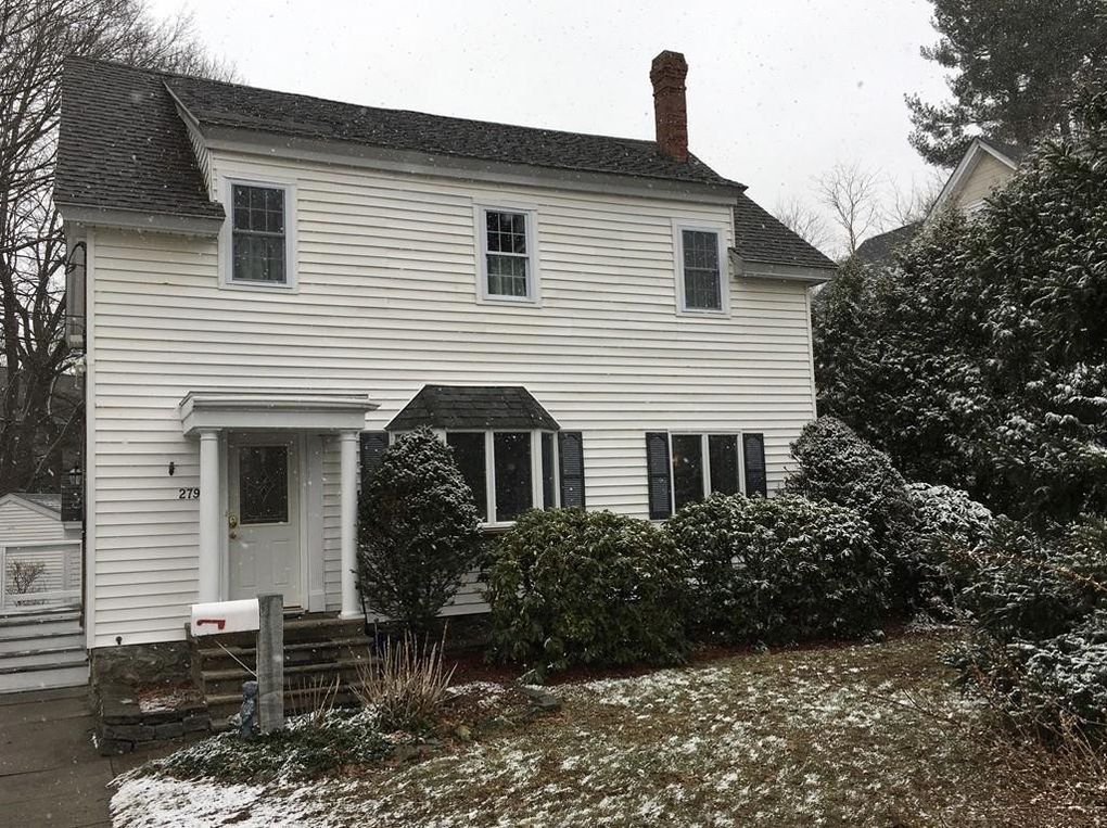
279 Osgood St
North Andover, MA 01845