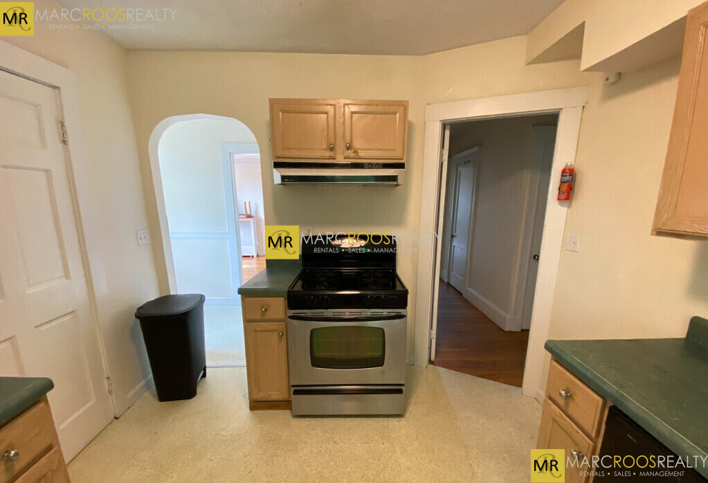
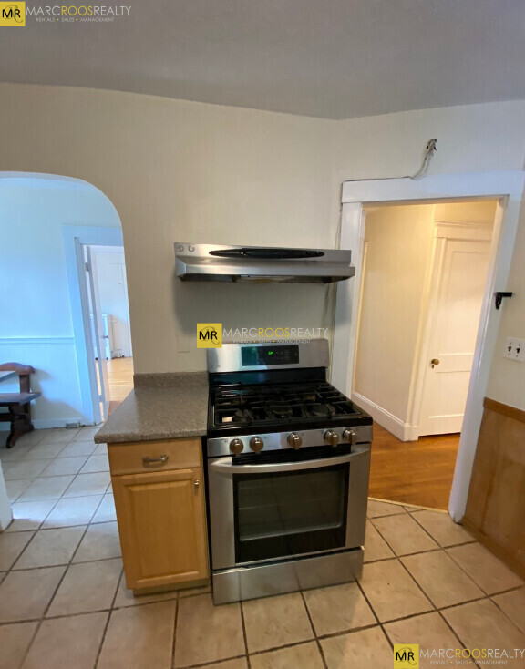
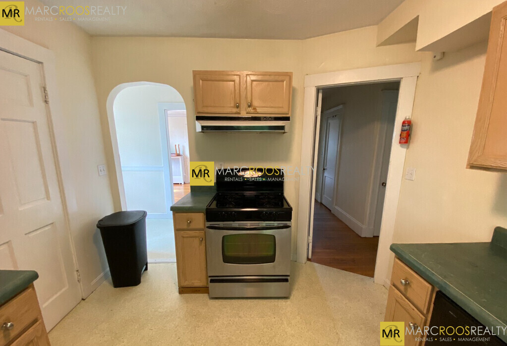
28 Manet Rd
Chestnut Hill, MA 02467
-
Bedrooms
5
-
Bathrooms
1.5
-
Square Feet
2,000 sq ft
-
Available
Available Sep 1

28 Manet Rd is a condo located in Middlesex County and the 02467 ZIP Code. This area is served by the Newton attendance zone.
Condo Features
- Air Conditioning
- Dishwasher
- Laundry Facilities
Contact
- Contact
There’s something for everyone in Chestnut Hill Middlesex. Opportunities to appreciate nature and partake in outdoor activities are plentiful, with access to numerous parks, reservoirs, and ponds in addition to golf and country clubs. Copious retail establishments such as the Street at Chestnut Hill, the Shops at Chestnut Hill, and Newton Centre are all within close proximity to Chestnut Hill Middlesex.
Home to Boston College and convenient to many additional colleges and universities, Chestnut Hill Middlesex is teeming with options for higher learning. History buffs delight in the Chestnut Hill Local Historic District, a primarily residential area with colonial roots listed on the National Register of Historic Places.
With access to several MBTA stations and buses, Route 9, and I-90, getting around from Chestnut Hill Middlesex is a breeze.
Learn more about living in Chestnut Hill Middlesex| Colleges & Universities | Distance | ||
|---|---|---|---|
| Colleges & Universities | Distance | ||
| Walk: | 6 min | 0.3 mi | |
| Drive: | 4 min | 1.3 mi | |
| Drive: | 8 min | 4.1 mi | |
| Drive: | 11 min | 5.3 mi |
 The GreatSchools Rating helps parents compare schools within a state based on a variety of school quality indicators and provides a helpful picture of how effectively each school serves all of its students. Ratings are on a scale of 1 (below average) to 10 (above average) and can include test scores, college readiness, academic progress, advanced courses, equity, discipline and attendance data. We also advise parents to visit schools, consider other information on school performance and programs, and consider family needs as part of the school selection process.
View GreatSchools Rating Methodology
Transportation options available in Chestnut Hill include Boston College Station, located 0.6 mile from 28 Manet Rd. 28 Manet Rd is near General Edward Lawrence Logan International, located 11.2 miles or 20 minutes away.
| Transit / Subway | Distance | ||
|---|---|---|---|
| Transit / Subway | Distance | ||
|
|
Walk: | 11 min | 0.6 mi |
|
|
Drive: | 2 min | 1.4 mi |
|
|
Drive: | 2 min | 1.4 mi |
|
|
Drive: | 4 min | 1.4 mi |
|
|
Drive: | 3 min | 1.4 mi |
| Commuter Rail | Distance | ||
|---|---|---|---|
| Commuter Rail | Distance | ||
|
|
Drive: | 8 min | 3.2 mi |
| Drive: | 9 min | 4.2 mi | |
|
|
Drive: | 10 min | 4.6 mi |
|
|
Drive: | 12 min | 5.0 mi |
|
|
Drive: | 11 min | 5.4 mi |
| Airports | Distance | ||
|---|---|---|---|
| Airports | Distance | ||
|
General Edward Lawrence Logan International
|
Drive: | 20 min | 11.2 mi |
Time and distance from 28 Manet Rd.
| Shopping Centers | Distance | ||
|---|---|---|---|
| Shopping Centers | Distance | ||
| Drive: | 2 min | 1.2 mi | |
| Drive: | 5 min | 2.0 mi | |
| Drive: | 5 min | 2.0 mi |
| Parks and Recreation | Distance | ||
|---|---|---|---|
| Parks and Recreation | Distance | ||
|
Hammond Pond Reservation
|
Walk: | 16 min | 0.9 mi |
|
Chestnut Hill Reservation
|
Drive: | 3 min | 1.5 mi |
|
Frederick Law Olmsted National Historic Site
|
Drive: | 6 min | 3.1 mi |
|
John Fitzgerald Kennedy National Historic Site
|
Drive: | 6 min | 3.5 mi |
|
Hemlock Gorge Reservation
|
Drive: | 9 min | 4.3 mi |
| Hospitals | Distance | ||
|---|---|---|---|
| Hospitals | Distance | ||
| Drive: | 5 min | 2.0 mi | |
| Drive: | 5 min | 2.7 mi | |
| Drive: | 6 min | 3.5 mi |
| Military Bases | Distance | ||
|---|---|---|---|
| Military Bases | Distance | ||
| Drive: | 20 min | 11.6 mi | |
| Drive: | 26 min | 14.2 mi |
- Air Conditioning
- Dishwasher
- Laundry Facilities
28 Manet Rd Photos
What Are Walk Score®, Transit Score®, and Bike Score® Ratings?
Walk Score® measures the walkability of any address. Transit Score® measures access to public transit. Bike Score® measures the bikeability of any address.
What is a Sound Score Rating?
A Sound Score Rating aggregates noise caused by vehicle traffic, airplane traffic and local sources


