

$955 / Month
2822 Laurel Ridge Cir
Atlanta, GA 30344
2 Weeks Ago
Favorites
2822 Laurel Ridge Cir

Favorites
Check Back Soon for Upcoming Availability
| Beds | Baths | Average SF |
|---|---|---|
| 1 Bedroom 1 Bedroom 1 Br | 1 Bath 1 Bath 1 Ba | 1,400 SF |
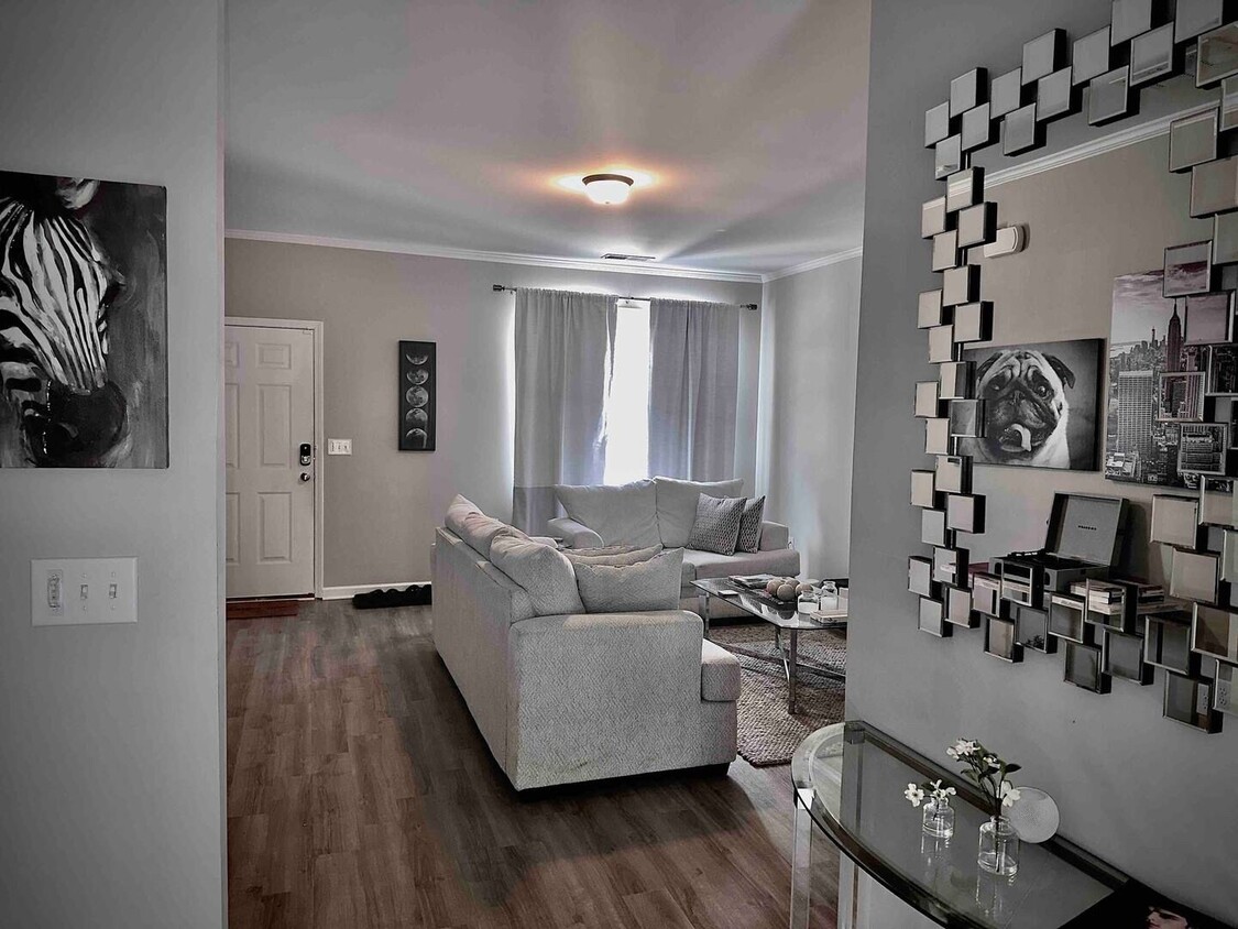
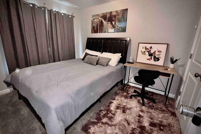
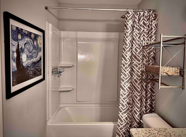
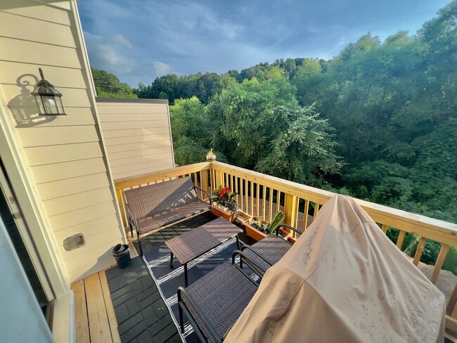
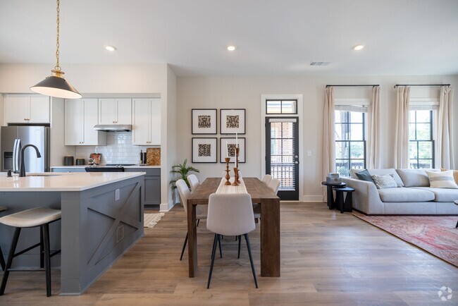
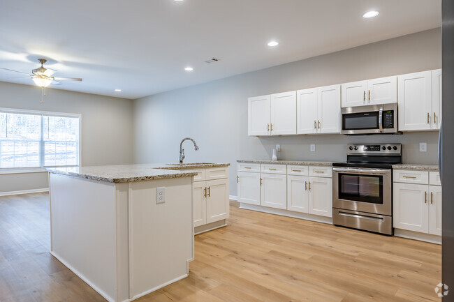
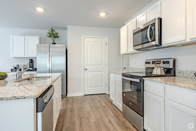
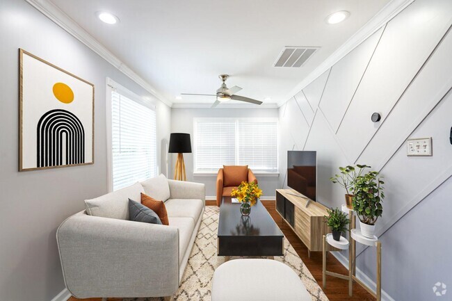
About This Property
Encuentra más habitaciones disponibles para alquilar en Alcove Rooms. Esta es una habitación en alquiler en una casa compartida con compañeros de habitación en contratos de alquiler a largo plazo. Uno se está mudando y se está liberando una habitación. No visite la propiedad sin antes contactarnos para programar un recorrido al número que aparece a continuación. Casa adosada cerca del aeropuerto y el centro de la ciudad de Atlanta, GA Distancias notables: - A 4 minutos del centro de convenciones de Georgia - A 7 minutos del aeropuerto y MARTA - A 25 minutos de The Battery, la casa de los Atlanta Braves - A 15 minutos del Mercedes Benz Stadium, la casa de Atlanta United y los Falcons - A 15 minutos de 6 Flags over Georgia *Las habitaciones vienen completamente amuebladas, esto incluye cama, colchón, escritorio y silla. Los muebles de la habitación no se pueden quitar.
2822 Laurel Ridge Cir is a house located in Fulton County and the 30344 ZIP Code. This area is served by the Fulton County attendance zone.
Property Address:
2822 Laurel Ridge Cir,
Atlanta,
GA
30344
Aerotropolis refers to an array of Southside Atlanta communities surrounding Hartsfield-Jackson Atlanta International Airport, the world’s busiest airport. The cities of College Park, Chattahoochee Hills, East Point, Fairburn, Forest Park, Union City, Hapeville, Morrow, and Palmetto are all a part of the Aerotropolis Alliance, working together on initiatives to improve their respective communities.
Aerotropolis’ close proximity to the airport makes the region an ideal choice for local employees and frequent travelers alike. A wide variety of rentals are available throughout the region, from luxury apartments and cozy condos to charming townhomes and spacious houses. Getting around from Aerotropolis is easy with access to I-75, I-85, and I-285.
Learn more about living in AerotropolisBelow are rent ranges for similar nearby apartments
| Beds | Average Size | Lowest | Typical | Premium |
|---|---|---|---|---|
| Studio Studio Studio | 460 Sq Ft | $663 | $946 | $1,301 |
| 1 Bed 1 Bed 1 Bed | 718-719 Sq Ft | $200 | $1,171 | $3,018 |
| 2 Beds 2 Beds 2 Beds | 1088-1089 Sq Ft | $899 | $1,450 | $3,035 |
| 3 Beds 3 Beds 3 Beds | 1440 Sq Ft | $1,125 | $1,839 | $9,999 |
| 4 Beds 4 Beds 4 Beds | 1942 Sq Ft | $1,500 | $2,712 | $6,500 |
Education
| Colleges & Universities | Distance | ||
|---|---|---|---|
| Colleges & Universities | Distance | ||
| Drive: | 17 min | 10.1 mi | |
| Drive: | 19 min | 10.6 mi | |
| Drive: | 21 min | 10.8 mi | |
| Drive: | 21 min | 10.9 mi |
2822 Laurel Ridge Cir is within 17 minutes or 10.1 miles from Atlanta Metropolitan State. It is also near Atlanta Technical College and Morehouse School of Medicine.
Schools


Public Elementary School
Grades PK-5
416 Students
Attendance Zone
Public Middle School
Grades 6-8
799 Students
Attendance Zone
Public High School
Grades 9-12
1,610 Students
Attendance Zone
Private Elementary, Middle & High School
Grades PK-12
127 Students
Nearby
Private Elementary School
Grades PK-5
Nearby
School data provided by
 The GreatSchools Rating helps parents compare schools within a state based on a variety of school quality indicators and provides a helpful picture of how effectively each school serves all of its students. Ratings are on a scale of 1 (below average) to 10 (above average) and can include test scores, college readiness, academic progress, advanced courses, equity, discipline and attendance data. We also advise parents to visit schools, consider other information on school performance and programs, and consider family needs as part of the school selection process.
View GreatSchools Rating Methodology
View GreatSchools Rating Methodology
Transportation options available in Atlanta include College Park, located 3.7 miles from 2822 Laurel Ridge Cir. 2822 Laurel Ridge Cir is near Hartsfield - Jackson Atlanta International, located 9.2 miles or 17 minutes away.
| Transit / Subway | Distance | ||
|---|---|---|---|
| Transit / Subway | Distance | ||
|
|
Drive: | 8 min | 3.7 mi |
|
|
Drive: | 9 min | 4.1 mi |
|
|
Drive: | 11 min | 5.6 mi |
|
|
Drive: | 14 min | 7.5 mi |
|
|
Drive: | 15 min | 8.3 mi |
| Commuter Rail | Distance | ||
|---|---|---|---|
| Commuter Rail | Distance | ||
|
|
Drive: | 27 min | 16.7 mi |
| Airports | Distance | ||
|---|---|---|---|
| Airports | Distance | ||
|
Hartsfield - Jackson Atlanta International
|
Drive: | 17 min | 9.2 mi |
Time and distance from 2822 Laurel Ridge Cir.
| Shopping Centers | Distance | ||
|---|---|---|---|
| Shopping Centers | Distance | ||
| Drive: | 3 min | 1.2 mi | |
| Drive: | 5 min | 1.8 mi | |
| Drive: | 5 min | 1.8 mi |
2822 Laurel Ridge Cir has 3 shopping centers within 1.8 miles, which is about a 5-minute drive. The miles and minutes will be for the farthest away property.
| Parks and Recreation | Distance | ||
|---|---|---|---|
| Parks and Recreation | Distance | ||
|
Cascade Springs Nature Preserve
|
Drive: | 11 min | 7.2 mi |
|
West Atlanta Watershed Alliance (WAWA)
|
Drive: | 17 min | 9.0 mi |
|
Atlanta BeltLine Southwest Connector Spur Trail
|
Drive: | 17 min | 9.5 mi |
|
Park Pride
|
Drive: | 20 min | 11.3 mi |
|
Zoo Atlanta
|
Drive: | 22 min | 12.6 mi |
2822 Laurel Ridge Cir has 5 parks within 12.6 miles, including Cascade Springs Nature Preserve, West Atlanta Watershed Alliance (WAWA), and Atlanta BeltLine Southwest Connector Spur Trail.
| Hospitals | Distance | ||
|---|---|---|---|
| Hospitals | Distance | ||
| Drive: | 14 min | 6.7 mi | |
| Drive: | 19 min | 9.6 mi | |
| Drive: | 18 min | 10.3 mi |
2822 Laurel Ridge Cir has 3 hospitals within 10.3 miles, the nearest is Southern Crescent Behavioral Health System - Anchor Hospital Campus which is 6.7 miles away and a 14 minute drive.
| Military Bases | Distance | ||
|---|---|---|---|
| Military Bases | Distance | ||
| Drive: | 16 min | 8.1 mi | |
| Drive: | 26 min | 15.5 mi |
2822 Laurel Ridge Cir is 8.1 miles from Fort McPherson, and is convenient to other military bases, including Fort Gillem.
You May Also Like
Similar Rentals Nearby
-
-
-
-
-
-
-
1 / 38
-
-
-

What Are Walk Score®, Transit Score®, and Bike Score® Ratings?
Walk Score® measures the walkability of any address. Transit Score® measures access to public transit. Bike Score® measures the bikeability of any address.
What is a Sound Score Rating?
A Sound Score Rating aggregates noise caused by vehicle traffic, airplane traffic and local sources

2822 Laurel Ridge Cir
Atlanta, GA 30344