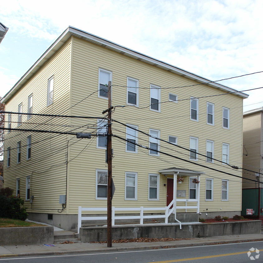
283 Manville Rd
283 Manville Rd,
Woonsocket,
RI
02895
Check Back Soon for Upcoming Availability
About 283 Manville Rd Woonsocket, RI 02895
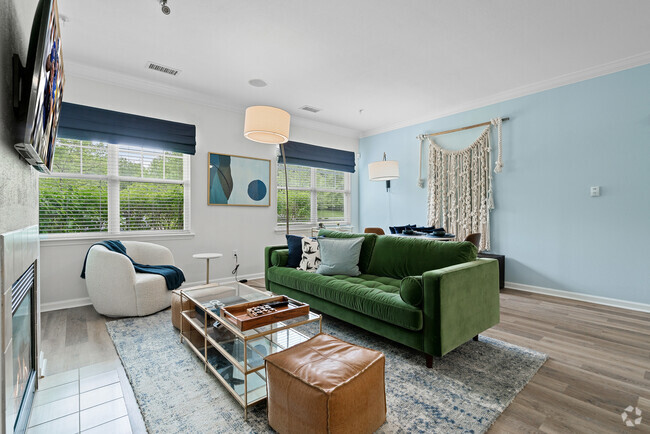
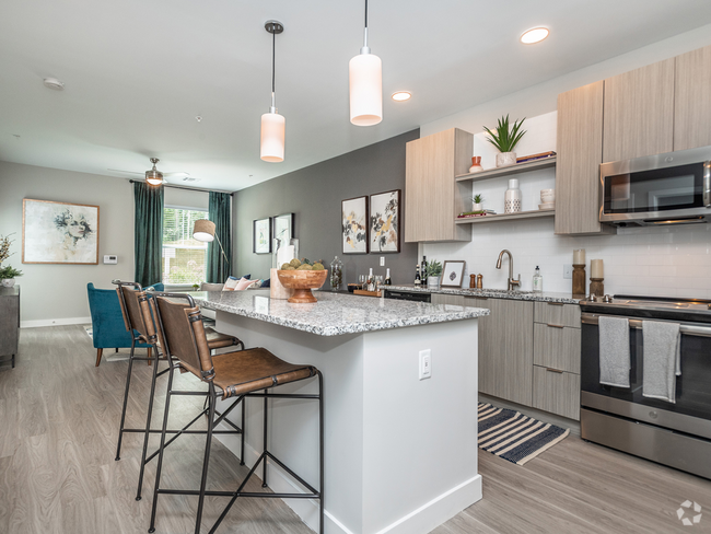
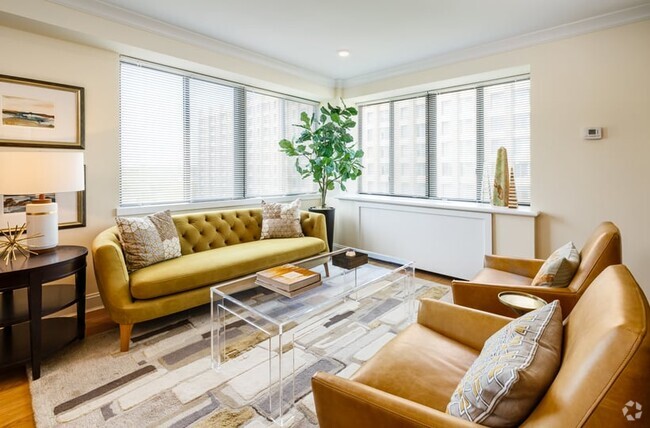
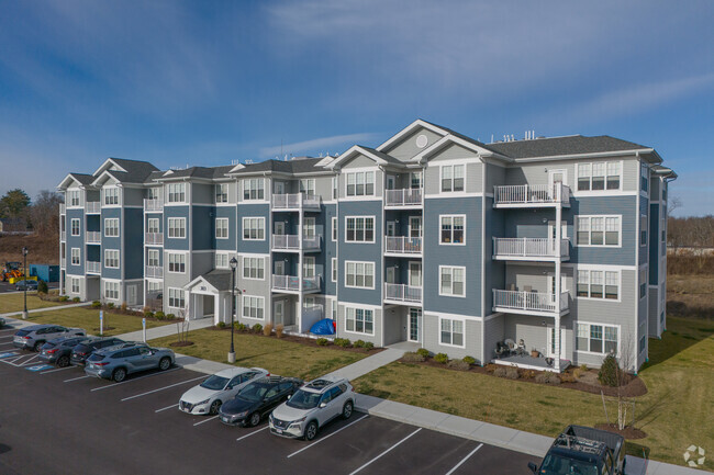
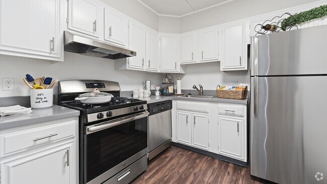
283 Manville Rd offers a mixture of comfort, design and quality. The 283 Manville Rd. location in Woonsocket's 02895 area is an ideal place for residents. The community staff is ready to help you in finding your new home. Come for a visit to see the current floorplan options. Get a head start on your move right now. Contact or stop by the 283 Manville Rd leasing office to talk about leasing your new apartment.
283 Manville Rd is an apartment community located in Providence County and the 02895 ZIP Code. This area is served by the Woonsocket attendance zone.
Fees and Policies
Details
Property Information
-
Built in 1900
-
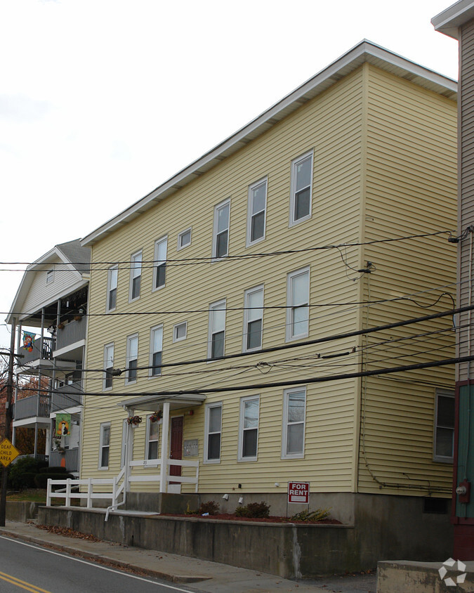
6 units/3 stories
Stretched along the Rhode Island-Massachusetts border, Woonsocket sits about 30 minutes northwest of Providence. Woonsocket has a rich history in textile manufacturing and currently houses the CVS Health headquarters. Convenient to major cities, Woonsocket offers residents access to big-city indulgences as well as suburban delights.
Renting in Woonsocket affords you the option of catching a live performance at the historic Stadium Theatre, touring the city by canoe along the Blackstone River, and seeing North America’s largest collection of fresco paintings at Saint Ann Arts and Cultural Center. During the holidays, catch a ride on the Blackstone Valley Polar Express. You can also attend a number of community events in Woonsocket, including the annual Autumnfest, a four-day celebration of fall featuring a parade, a beer garden, live entertainment, arts and crafts, and more.
Learn more about living in Woonsocket| Colleges & Universities | Distance | ||
|---|---|---|---|
| Colleges & Universities | Distance | ||
| Drive: | 14 min | 7.7 mi | |
| Drive: | 16 min | 9.6 mi | |
| Drive: | 19 min | 14.4 mi | |
| Drive: | 21 min | 15.0 mi |
 The GreatSchools Rating helps parents compare schools within a state based on a variety of school quality indicators and provides a helpful picture of how effectively each school serves all of its students. Ratings are on a scale of 1 (below average) to 10 (above average) and can include test scores, college readiness, academic progress, advanced courses, equity, discipline and attendance data. We also advise parents to visit schools, consider other information on school performance and programs, and consider family needs as part of the school selection process.
View GreatSchools Rating Methodology
Transportation options available in Woonsocket include Newton Highlands Station, located 36.2 miles from 283 Manville Rd. 283 Manville Rd is near Rhode Island Tf Green International, located 23.2 miles or 34 minutes away, and Worcester Regional, located 32.5 miles or 46 minutes away.
| Transit / Subway | Distance | ||
|---|---|---|---|
| Transit / Subway | Distance | ||
|
|
Drive: | 58 min | 36.2 mi |
|
|
Drive: | 59 min | 36.9 mi |
|
|
Drive: | 56 min | 40.9 mi |
|
|
Drive: | 56 min | 41.2 mi |
|
|
Drive: | 58 min | 41.9 mi |
| Commuter Rail | Distance | ||
|---|---|---|---|
| Commuter Rail | Distance | ||
|
|
Drive: | 17 min | 9.1 mi |
|
|
Drive: | 19 min | 9.5 mi |
| Drive: | 18 min | 11.5 mi | |
|
|
Drive: | 21 min | 12.9 mi |
|
|
Drive: | 25 min | 17.0 mi |
| Airports | Distance | ||
|---|---|---|---|
| Airports | Distance | ||
|
Rhode Island Tf Green International
|
Drive: | 34 min | 23.2 mi |
|
Worcester Regional
|
Drive: | 46 min | 32.5 mi |
Time and distance from 283 Manville Rd.
| Shopping Centers | Distance | ||
|---|---|---|---|
| Shopping Centers | Distance | ||
| Walk: | 12 min | 0.7 mi | |
| Drive: | 2 min | 1.4 mi | |
| Drive: | 3 min | 1.4 mi |
| Parks and Recreation | Distance | ||
|---|---|---|---|
| Parks and Recreation | Distance | ||
|
Blackstone River Valley National Heritage Corridor
|
Walk: | 16 min | 0.8 mi |
|
World War II Memorial State Park
|
Drive: | 2 min | 1.3 mi |
|
Fort Nature Refuge
|
Drive: | 9 min | 5.3 mi |
|
Blackstone River Bikeway
|
Drive: | 11 min | 7.4 mi |
|
Lincoln Woods State Park
|
Drive: | 16 min | 10.9 mi |
| Hospitals | Distance | ||
|---|---|---|---|
| Hospitals | Distance | ||
| Walk: | 11 min | 0.6 mi | |
| Drive: | 19 min | 11.9 mi | |
| Drive: | 18 min | 12.7 mi |
| Military Bases | Distance | ||
|---|---|---|---|
| Military Bases | Distance | ||
| Drive: | 47 min | 24.4 mi | |
| Drive: | 46 min | 34.7 mi |
You May Also Like
Similar Rentals Nearby
What Are Walk Score®, Transit Score®, and Bike Score® Ratings?
Walk Score® measures the walkability of any address. Transit Score® measures access to public transit. Bike Score® measures the bikeability of any address.
What is a Sound Score Rating?
A Sound Score Rating aggregates noise caused by vehicle traffic, airplane traffic and local sources







Responded To This Review