
$3,600 / Month
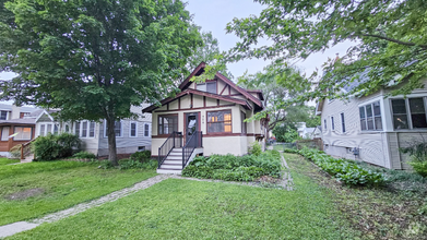
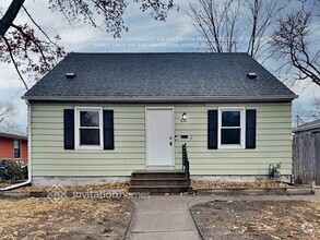
285 Lexington Pkwy S
Saint Paul, MN 55105
2 Weeks Ago
Favorites
285 Lexington Pkwy S

Favorites
Check Back Soon for Upcoming Availability
| Beds | Baths | Average SF |
|---|---|---|
| 3 Bedrooms 3 Bedrooms 3 Br | 3 Baths 3 Baths 3 Ba | 2,640 SF |
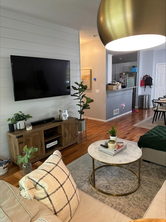
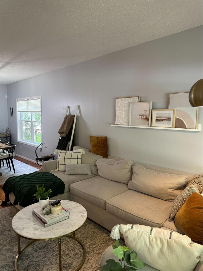
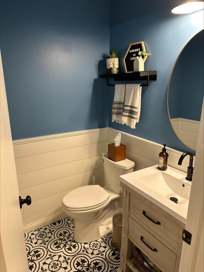
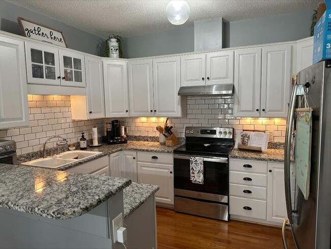
About This Property
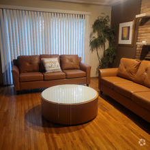
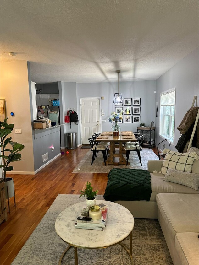
Recently Renovated 3BR/3BA for rent in the desirable Mac-Groveland area of St. Paul. Half mile from Summit and Grand Avenues. Large bay window provides an abundance of light upon entering home. Wood floors on main level. Beautiful kitchen with new granite counters, backsplash and under cabinet lighting. XL master bedroom with private master bath plus a walkout deck. 3 bedrooms plus laundry on the same level. Escape to the lower level where you will find a large room with a built-in bar, mini fridge, sink and gas fireplace. Central air and heating.
285 Lexington Pkwy S is a house located in Ramsey County and the 55105 ZIP Code. This area is served by the St. Paul Public attendance zone.
House Features
- Washer/Dryer
- Washer/Dryer Hookup
- Dishwasher
Fees and Policies
Location
Get Directions
Situated in beautiful Saint Paul along the eastern border of Minneapolis, the Summit Hill neighborhood features oak-lined boulevards and historic Victorian mansions. Considering its location three miles west of downtown Saint Paul and eight miles east of downtown Minneapolis, this area an ideal neighborhood for commuters to either city. The centerpieces of the pedestrian-friendly neighborhood are its stately cathedral and its bustling commercial center along Grand Avenue. Summit Avenue was recently named one of America’s 10 Great Streets by the American Planning Association.
Home to locally and nationally owned restaurants, galleries and businesses, Summit Hill provides a safe, historic and vibrant community for both homeowners and renters.
Learn more about living in Summit HillBelow are rent ranges for similar nearby apartments
Amenities
- Washer/Dryer
- Washer/Dryer Hookup
- Dishwasher
Education
| Colleges & Universities | Distance | ||
|---|---|---|---|
| Colleges & Universities | Distance | ||
| Drive: | 3 min | 1.4 mi | |
| Drive: | 4 min | 1.7 mi | |
| Drive: | 7 min | 2.4 mi | |
| Drive: | 7 min | 3.1 mi |
285 Lexington Pkwy S is within 3 minutes or 1.4 miles from Macalester College. It is also near Concordia Univ.-Saint Paul and St. Catherine University.
Schools


Public Elementary School
Grades PK-5
437 Students
Attendance Zone
Public Middle School
Grades 6-8
559 Students
Attendance Zone
Public High School
Grades 9-12
1,691 Students
Attendance Zone
Private Elementary School
Grades K-5
Nearby
Private Elementary & Middle School
Grades PK-8
261 Students
Nearby
Private High School
Grades 9-12
1,220 Students
Nearby
School data provided by
 The GreatSchools Rating helps parents compare schools within a state based on a variety of school quality indicators and provides a helpful picture of how effectively each school serves all of its students. Ratings are on a scale of 1 (below average) to 10 (above average) and can include test scores, college readiness, academic progress, advanced courses, equity, discipline and attendance data. We also advise parents to visit schools, consider other information on school performance and programs, and consider family needs as part of the school selection process.
View GreatSchools Rating Methodology
View GreatSchools Rating Methodology
Transportation options available in Saint Paul include Lexington Pkwy Station, located 1.7 miles from 285 Lexington Pkwy S. 285 Lexington Pkwy S is near Minneapolis-St Paul International/Wold-Chamberlain, located 6.5 miles or 13 minutes away.
| Transit / Subway | Distance | ||
|---|---|---|---|
| Transit / Subway | Distance | ||
| Drive: | 4 min | 1.7 mi | |
| Drive: | 4 min | 2.1 mi | |
| Drive: | 5 min | 2.6 mi | |
| Drive: | 6 min | 2.6 mi | |
| Drive: | 5 min | 2.7 mi |
| Commuter Rail | Distance | ||
|---|---|---|---|
| Commuter Rail | Distance | ||
|
|
Drive: | 8 min | 3.7 mi |
|
|
Drive: | 18 min | 8.9 mi |
|
|
Drive: | 26 min | 17.5 mi |
|
|
Drive: | 36 min | 26.3 mi |
|
|
Drive: | 37 min | 27.9 mi |
| Airports | Distance | ||
|---|---|---|---|
| Airports | Distance | ||
|
Minneapolis-St Paul International/Wold-Chamberlain
|
Drive: | 13 min | 6.5 mi |
Time and distance from 285 Lexington Pkwy S.
| Shopping Centers | Distance | ||
|---|---|---|---|
| Shopping Centers | Distance | ||
| Walk: | 19 min | 1.0 mi | |
| Walk: | 19 min | 1.0 mi | |
| Walk: | 20 min | 1.0 mi |
285 Lexington Pkwy S has 3 shopping centers within 1.0 miles, which is about a 20-minute walk. The miles and minutes will be for the farthest away property.
| Parks and Recreation | Distance | ||
|---|---|---|---|
| Parks and Recreation | Distance | ||
|
Macalester College Observatory
|
Drive: | 3 min | 1.4 mi |
|
Highland Park and Golf Course
|
Drive: | 3 min | 1.7 mi |
|
Irvine Park
|
Drive: | 6 min | 2.5 mi |
|
Western Park
|
Drive: | 7 min | 3.3 mi |
|
Cherokee Regional Park
|
Drive: | 8 min | 3.3 mi |
285 Lexington Pkwy S has 5 parks within 3.3 miles, including Macalester College Observatory, Highland Park and Golf Course, and Irvine Park.
| Hospitals | Distance | ||
|---|---|---|---|
| Hospitals | Distance | ||
| Drive: | 5 min | 2.2 mi | |
| Drive: | 6 min | 2.9 mi | |
| Drive: | 7 min | 3.4 mi |
285 Lexington Pkwy S has 3 hospitals within 3.4 miles, the nearest is Allina United Hospital which is 2.2 miles away and a 5 minute drive.
| Military Bases | Distance | ||
|---|---|---|---|
| Military Bases | Distance | ||
| Drive: | 11 min | 5.2 mi |
285 Lexington Pkwy S is 5.2 miles and a 11 minute drive from Fort Snelling Military Reservation.
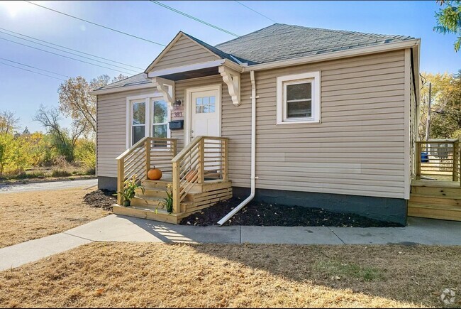
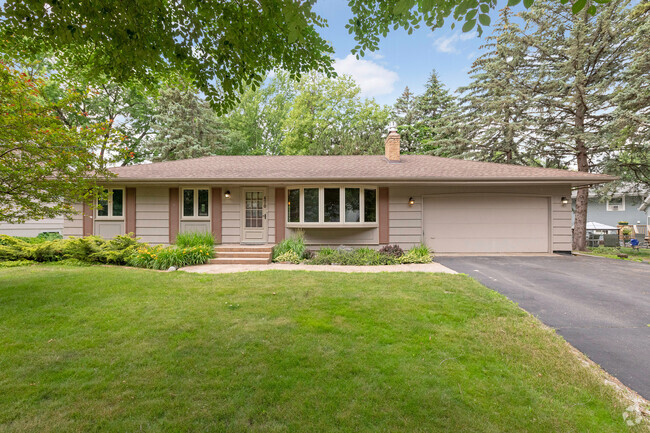
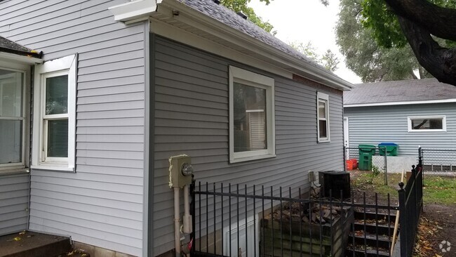
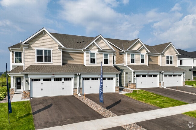
You May Also Like
Similar Rentals Nearby

What Are Walk Score®, Transit Score®, and Bike Score® Ratings?
Walk Score® measures the walkability of any address. Transit Score® measures access to public transit. Bike Score® measures the bikeability of any address.
What is a Sound Score Rating?
A Sound Score Rating aggregates noise caused by vehicle traffic, airplane traffic and local sources
285 Lexington Pkwy S
Saint Paul, MN 55105