2851 S Los Altos Pl

Chandler, AZ 85286 South Chandler

Today
Share Listing
Favorites
602-577-9330
  • Monthly Rent
    $2,750

  • Bedrooms

    4 bd

  • Bathrooms

    3 ba

  • Square Feet

    2,337 sq ft

Details

$1,845 deposit, Available Now
* Price shown is base rent and may not include non-optional fees and utilities. Price, availability, fees, and any applicable rent special are subject to change without notice.
* Square footage definitions vary. Displayed square footage is approximate.
2851 S Los Altos Pl
Share Listing
Favorites

About This Property

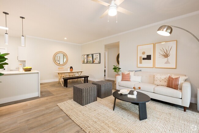
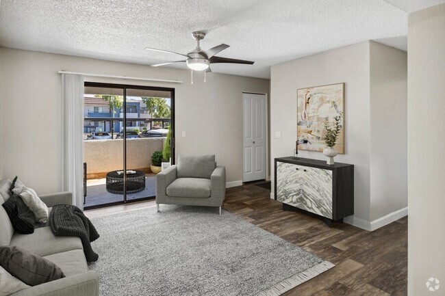
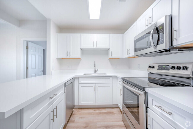
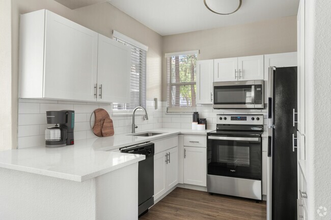
THIS IS A GREAT TWO STORY HOME IN A PRIME AREA OF CHANDLER,LOCATION MINUTES FROM CHANDLER MALL,INTELL AND TWO FREEWAY SYSTEMS. CLEMENTE RANCH. FIRST FLOOR FORMAL DINING AND LIVING ROOM,FAMILY ROOM,KITCHEN AND BEDROOM. SECOND FLOOR ALL OTHER BEDROOMS INCLUDING MASTER. LARGE REAR YARD ALL GRASS AND LOTS OF ROOM FOR A PET OR ENTERTAINMENT. NON SMOKING

2851 S Los Altos Pl is a house located in Maricopa County and the 85286 ZIP Code. This area is served by the Chandler Unified District attendance zone.

Discover Homeownership

Renting vs. Buying

  • Housing Cost Per Month: $2,750
    • Rent for 30 Years
      Renting doesn't build equity Future Equity
      Renting isn't tax deductible Mortgage Interest Tax Deduction
      $0 Net Return
    • Buy Over 30 Years
      $1.08M - $1.93M Future Equity
      $485K Mortgage Interest Tax Deduction
      $92K - $937K Gain Net Return
$2,725 / month $479,500 Listing Price
4 Beds 3 Baths 1,400 Sq Ft
$2,651 / month $465,000 Listing Price
4 Beds 3 Baths 1,476 Sq Ft
$2,554 / month $439,000 Listing Price
4 Beds 3 Baths 1,843 Sq Ft

Contact

Tammy Colleen Schembri
re/max fine properties
Arizona Regional MLS
Copyright 2024 Arizona Regional MLS. All rights reserved. Information is deemed reliable but not guaranteed.
Location
Property Address: 2851 S Los Altos Pl, Chandler,
AZ 85286
Get Directions
This Property Available Property
Neighborhood

Nestled between Downtown Chandler and the Gila River Indian Reservation, South Chandler is a sizeable suburban area brimming with all kinds of modern conveniences. South Chandler residents enjoy easy access to a slew of shopping centers and plazas, many of which are clustered along South Alma School Road and South Arizona Avenue.

South Chandler offers plenty of recreational opportunities at Tumbleweed Park, Chuparosa Park, Snedigar Recreation Center, and Paseo Vista Recreation Area. The expansive San Tan Mountains Regional Park is also just minutes away from South Chandler. A wide variety of golf and country clubs are located in South Chandler as well.

Learn more about living in South Chandler 
Education
Colleges & Universities Distance
Drive: 9 min 4.9 mi
Drive: 13 min 7.5 mi
Drive: 18 min 10.8 mi
Drive: 18 min 11.8 mi
2851 S Los Altos Pl is within 9 minutes or 4.9 miles from Chandler-Gilbert CC. Sun Lakes. It is also near Chandler-Gilbert C.C., Pecos and Mesa C.C., Southern and Dobson.
Schools
Public Elementary School
Grades PK-6
787 Students
Attendance Zone
7
Out of 10
Public Middle School
Grades 7-8
1,151 Students
Attendance Zone
6
Out of 10
Public Middle & High School
Grades 8-12
3,850 Students
Attendance Zone
9
Out of 10
Private Elementary School
Grades PK-4
Nearby
Private Elementary, Middle & High School
Grades K-12
205 Students
Nearby
Transportation

Transportation options available in Chandler include Price-101 Fwy/Apache Blvd, located 11.5 miles from 2851 S Los Altos Pl. 2851 S Los Altos Pl is near Phoenix-Mesa Gateway, located 15.0 miles or 23 minutes away, and Phoenix Sky Harbor International, located 19.6 miles or 28 minutes away.

Transit / Subway Distance
Drive: 16 min 11.5 mi
Drive: 17 min 12.0 mi
Drive: 18 min 12.4 mi
Drive: 18 min 12.6 mi
Drive: 19 min 13.4 mi
Commuter Rail Distance
Drive: 27 min 20.3 mi
Airports Distance
Airports Distance
Phoenix-Mesa Gateway
Drive: 23 min 15.0 mi
Phoenix Sky Harbor International
Drive: 28 min 19.6 mi
Car-Dependent
34
Walk Score®
Out of 100
This area is considered a car-dependent area and most errands will require a car.
Some Transit
29
Transit Score®
Out of 100
You'll likely want a car when living in this area since it has few transit options.
Bikeable
60
Bike Score®
Out of 100
While there’s some bike infrastructure in this area, you’ll still need a car for many errands.
-
-
Soundscore
Out of 100

Traffic:

-

Airport:

-

Businesses:

-

Score provided by

Scores provided by  and

Score provided by

Points of Interest

Time and distance from 2851 S Los Altos Pl.

Shopping Centers Distance
Walk: 9 min 0.5 mi
Drive: 2 min 1.2 mi
Drive: 3 min 1.7 mi
2851 S Los Altos Pl has 3 shopping centers within 1.7 miles, which is about a 3-minute drive. The miles and minutes will be for the farthest away property.
Parks and Recreation Distance
City of Chandler Environmental Education Center
Drive: 16 min 8.7 mi
Pecos Park
Drive: 16 min 9.6 mi
South Mountain Park
Drive: 22 min 13.5 mi
2851 S Los Altos Pl has 3 parks within 13.5 miles, including City of Chandler Environmental Education Center, Pecos Park, and South Mountain Park.
Hospitals Distance
Hospitals Distance
Drive: 5 min 2.7 mi
Drive: 9 min 5.9 mi
Drive: 13 min 9.4 mi
2851 S Los Altos Pl has 3 hospitals within 9.4 miles, the nearest is Chandler Regional Medical Center which is 2.7 miles away and a 5 minutes drive.
Military Bases Distance
Drive: 28 min 20.5 mi
Drive: 58 min 45.0 mi
Drive: 95 min 79.1 mi
2851 S Los Altos Pl has 3 military bases within 79.1 miles, the nearest is Phoenix Sky Harbor Airport Air Guard Station which is 20.5 miles away and a 28 minutes .

You May Also Like