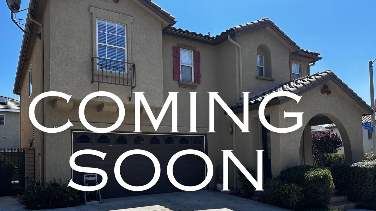
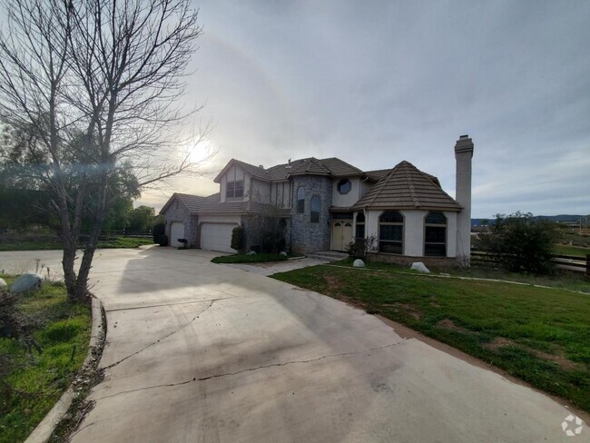
$4,795 / Month
28552 Silverking Trail Unit BOA2
Santa Clarita, CA 91390
Today
Favorites
661-254-1776
-
Bedrooms
5
-
Bathrooms
3
-
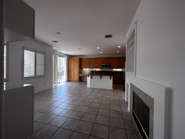
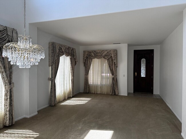
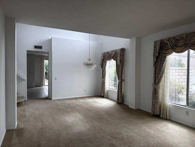
Square Feet
2,420 sq ft
-
Available
Available May 10
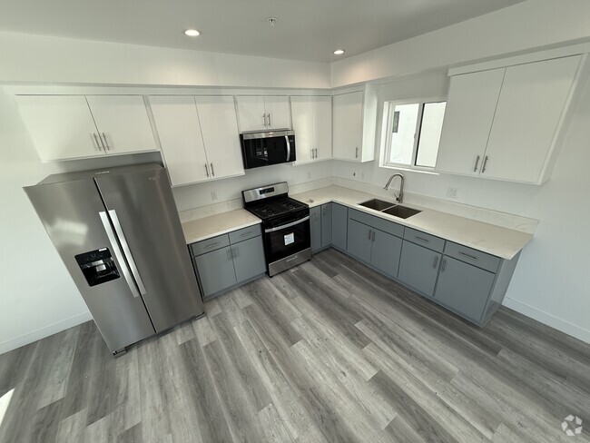
28552 Silverking Trail Unit BOA2

Favorites
Contact
- Listed by CCDJ, | CCDJ, Inc. dba Verified Property Management
- Phone Number
- Contact
Location
Get Directions
Saugus grants residents a laid-back lifestyle that allows them to take in the natural beauty of the region without the noise and crowds of the big city. Driving around the neighborhood, you can see the vast expanses of open space and sense of historic charm that made this area the site of so many early Western films.
East of Interstate 5, Saugus sits about five miles from Downtown Santa Clarita. The neighborhood’s central location provides easy access to all the amenities of the city while also giving residents a peaceful place to call home. Multiple high-quality school districts and a strong sense of community make Saugus a top choice for numerous families.
Learn more about living in Saugus
Education
| Colleges & Universities | Distance | ||
|---|---|---|---|
| Colleges & Universities | Distance | ||
| Drive: | 16 min | 7.6 mi | |
| Drive: | 29 min | 19.2 mi | |
| Drive: | 36 min | 20.5 mi | |
| Drive: | 46 min | 32.4 mi |
28552 Silverking Trail Unit BOA2 is within 16 minutes or 7.6 miles from College of the Canyons. It is also near Mission College and Cal State Northridge.
Transportation options available in Santa Clarita include North Hollywood Station, located 27.0 miles from 28552 Silverking Trail Unit BOA2. 28552 Silverking Trail Unit BOA2 is near Bob Hope, located 26.1 miles or 38 minutes away.
| Transit / Subway | Distance | ||
|---|---|---|---|
| Transit / Subway | Distance | ||
|
|
Drive: | 38 min | 27.0 mi |
|
|
Drive: | 41 min | 29.4 mi |
|
|
Drive: | 46 min | 32.3 mi |
|
|
Drive: | 45 min | 32.5 mi |
|
|
Drive: | 46 min | 33.3 mi |
| Commuter Rail | Distance | ||
|---|---|---|---|
| Commuter Rail | Distance | ||
|
|
Drive: | 12 min | 5.1 mi |
|
|
Drive: | 14 min | 6.9 mi |
|
|
Drive: | 17 min | 7.3 mi |
|
|
Drive: | 30 min | 18.2 mi |
|
|
Drive: | 40 min | 24.1 mi |
| Airports | Distance | ||
|---|---|---|---|
| Airports | Distance | ||
|
Bob Hope
|
Drive: | 38 min | 26.1 mi |
Time and distance from 28552 Silverking Trail Unit BOA2.
| Shopping Centers | Distance | ||
|---|---|---|---|
| Shopping Centers | Distance | ||
| Walk: | 6 min | 0.3 mi | |
| Drive: | 4 min | 1.6 mi | |
| Drive: | 5 min | 1.9 mi |
28552 Silverking Trail Unit BOA2 has 3 shopping centers within 1.9 miles, which is about a 5-minute walk. The miles and minutes will be for the farthest away property.
| Parks and Recreation | Distance | ||
|---|---|---|---|
| Parks and Recreation | Distance | ||
|
William S. Hart Regional Park
|
Drive: | 17 min | 7.5 mi |
|
Placerita Canyon Nature Center
|
Drive: | 19 min | 10.9 mi |
|
Placerita Canyon State Park
|
Drive: | 21 min | 12.3 mi |
|
East and Rice Canyon
|
Drive: | 22 min | 13.5 mi |
|
Castaic Lake State Recreation Area
|
Drive: | 39 min | 21.1 mi |
28552 Silverking Trail Unit BOA2 has 5 parks within 21.1 miles, including William S. Hart Regional Park, East and Rice Canyon, and Placerita Canyon Nature Center.
| Hospitals | Distance | ||
|---|---|---|---|
| Hospitals | Distance | ||
| Drive: | 14 min | 7.5 mi |
28552 Silverking Trail Unit BOA2 is 7.5 miles and a 14 minute drive from Henry Mayo Newhall Hospital.
| Military Bases | Distance | ||
|---|---|---|---|
| Military Bases | Distance | ||
| Drive: | 60 min | 45.8 mi | |
| Drive: | 95 min | 57.1 mi |
28552 Silverking Trail Unit BOA2 is 45.8 miles from Los Angeles Air Force Base, and is convenient to other military bases, including Edwards Air Force Base North Antelope Valley.
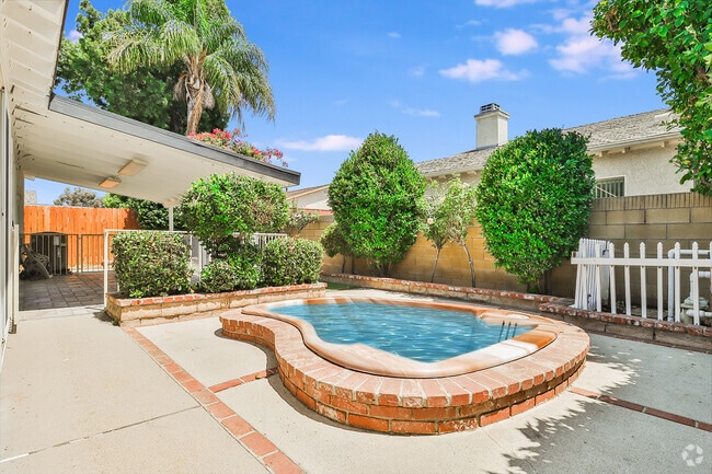
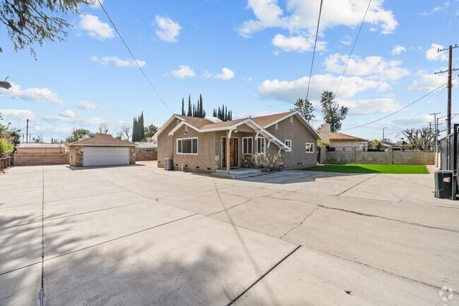
You May Also Like
Similar Rentals Nearby
-
-

-
-
-
-
-
1 / 19
-
-
-

What Are Walk Score®, Transit Score®, and Bike Score® Ratings?
Walk Score® measures the walkability of any address. Transit Score® measures access to public transit. Bike Score® measures the bikeability of any address.
What is a Sound Score Rating?
A Sound Score Rating aggregates noise caused by vehicle traffic, airplane traffic and local sources

28552 Silverking Trail
Santa Clarita, CA 91390