-
Monthly Rent
$4,800
-
Bedrooms
4 bd
-
Bathrooms
1 ba
-
Square Feet
9,999 sq ft
Details

About This Property
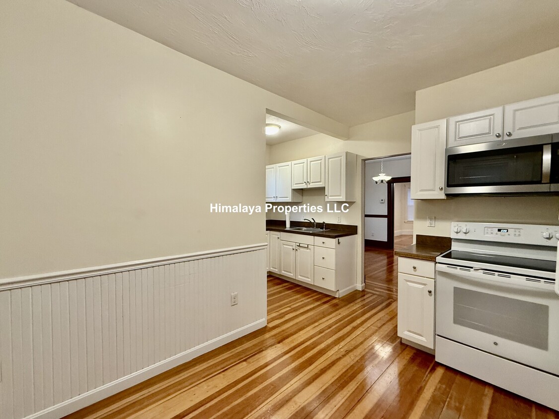
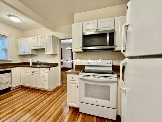
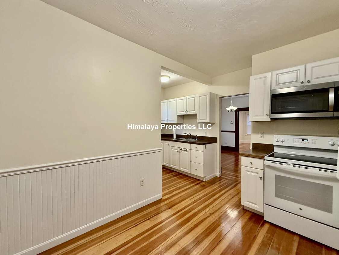
This property at 29 Bromfield Rd features 4 bedrooms and 1 bathroom within a spacious 9,999 square feet. The living room offers ample space for relaxation, while the bedrooms provide comfortable accommodation. The bathroom is equipped with essential fixtures for daily use. The kitchen includes a dishwasher for convenience and is adjacent to laundry facilities for added practicality. Additional amenities include air conditioning and storage options to enhance your living experience. The exterior of the property offers a generous area, suitable for various outdoor activities. The rental price is available upon request. This property presents a functional living space with essential amenities for a comfortable lifestyle.
29 Bromfield Rd is a condo located in Middlesex County and the 02144 ZIP Code. This area is served by the Somerville attendance zone.
Contact
Condo Features
- Air Conditioning
- Dishwasher
- Kitchen
- Laundry Facilities
Fees and Policies
The fees below are based on community-supplied data and may exclude additional fees and utilities.
Somerville underwent a colossal transformation around the turn of the 21st century. A huge revitalization effort began in the 1990s, and by 2006 Somerville was recognized as the best-run city in Massachusetts. Nowadays, the city is better known for its thriving artistic community and constant self-improvement efforts by citizens and government alike.
There is heavy emphasis on local businesses, which are spread around Somerville in various commercial squares rather than a centralized downtown—this gives folks lots of options when selecting an apartment. Much of the arts and leisure activity is centered around Davis Square, well known for its dining, nightlife, and music venues.
The community is generally quite walkable, and MBTA service makes it exceptionally easy to get to nearby downtown Boston. With the campuses of Harvard, MIT, and Tufts surrounding the city, Somerville is within arm’s reach of some of America’s finest universities.
Learn more about living in Somerville| Colleges & Universities | Distance | ||
|---|---|---|---|
| Colleges & Universities | Distance | ||
| Walk: | 6 min | 0.3 mi | |
| Drive: | 5 min | 1.8 mi | |
| Drive: | 5 min | 2.2 mi | |
| Drive: | 7 min | 2.9 mi |
Transportation options available in Somerville include Ball Square, located 0.4 mile from 29 Bromfield Rd Unit U1. 29 Bromfield Rd Unit U1 is near General Edward Lawrence Logan International, located 7.8 miles or 15 minutes away.
| Transit / Subway | Distance | ||
|---|---|---|---|
| Transit / Subway | Distance | ||
| Walk: | 8 min | 0.4 mi | |
| Walk: | 8 min | 0.5 mi | |
|
|
Walk: | 11 min | 0.6 mi |
|
|
Drive: | 4 min | 1.6 mi |
| Drive: | 4 min | 1.8 mi |
| Commuter Rail | Distance | ||
|---|---|---|---|
| Commuter Rail | Distance | ||
|
|
Drive: | 4 min | 1.8 mi |
|
|
Drive: | 6 min | 2.1 mi |
|
|
Drive: | 7 min | 3.4 mi |
|
|
Drive: | 8 min | 3.9 mi |
|
|
Drive: | 10 min | 4.7 mi |
| Airports | Distance | ||
|---|---|---|---|
| Airports | Distance | ||
|
General Edward Lawrence Logan International
|
Drive: | 15 min | 7.8 mi |
Time and distance from 29 Bromfield Rd Unit U1.
| Shopping Centers | Distance | ||
|---|---|---|---|
| Shopping Centers | Distance | ||
| Drive: | 4 min | 1.5 mi | |
| Drive: | 4 min | 1.6 mi | |
| Drive: | 6 min | 2.1 mi |
| Parks and Recreation | Distance | ||
|---|---|---|---|
| Parks and Recreation | Distance | ||
|
Mystic River Reservation
|
Drive: | 4 min | 1.8 mi |
|
Harvard-Smithsonian Center for Astrophysics
|
Drive: | 7 min | 2.5 mi |
|
Mineralogical and Geological Museum
|
Drive: | 6 min | 2.5 mi |
|
Harvard Museum of Natural History
|
Drive: | 6 min | 2.5 mi |
|
Longfellow National Historic Site
|
Drive: | 7 min | 2.9 mi |
| Hospitals | Distance | ||
|---|---|---|---|
| Hospitals | Distance | ||
| Drive: | 8 min | 3.3 mi | |
| Drive: | 8 min | 3.5 mi | |
| Drive: | 11 min | 5.3 mi |
| Military Bases | Distance | ||
|---|---|---|---|
| Military Bases | Distance | ||
| Drive: | 22 min | 11.5 mi | |
| Drive: | 35 min | 19.0 mi |
- Air Conditioning
- Dishwasher
- Kitchen
- Laundry Facilities
29 Bromfield Rd Unit U1 Photos
What Are Walk Score®, Transit Score®, and Bike Score® Ratings?
Walk Score® measures the walkability of any address. Transit Score® measures access to public transit. Bike Score® measures the bikeability of any address.
What is a Sound Score Rating?
A Sound Score Rating aggregates noise caused by vehicle traffic, airplane traffic and local sources


