-
Monthly Rent
$6,200
-
Bedrooms
4 bd
-
Bathrooms
1.5 ba
-
Square Feet
2,430 sq ft
Details

About This Property
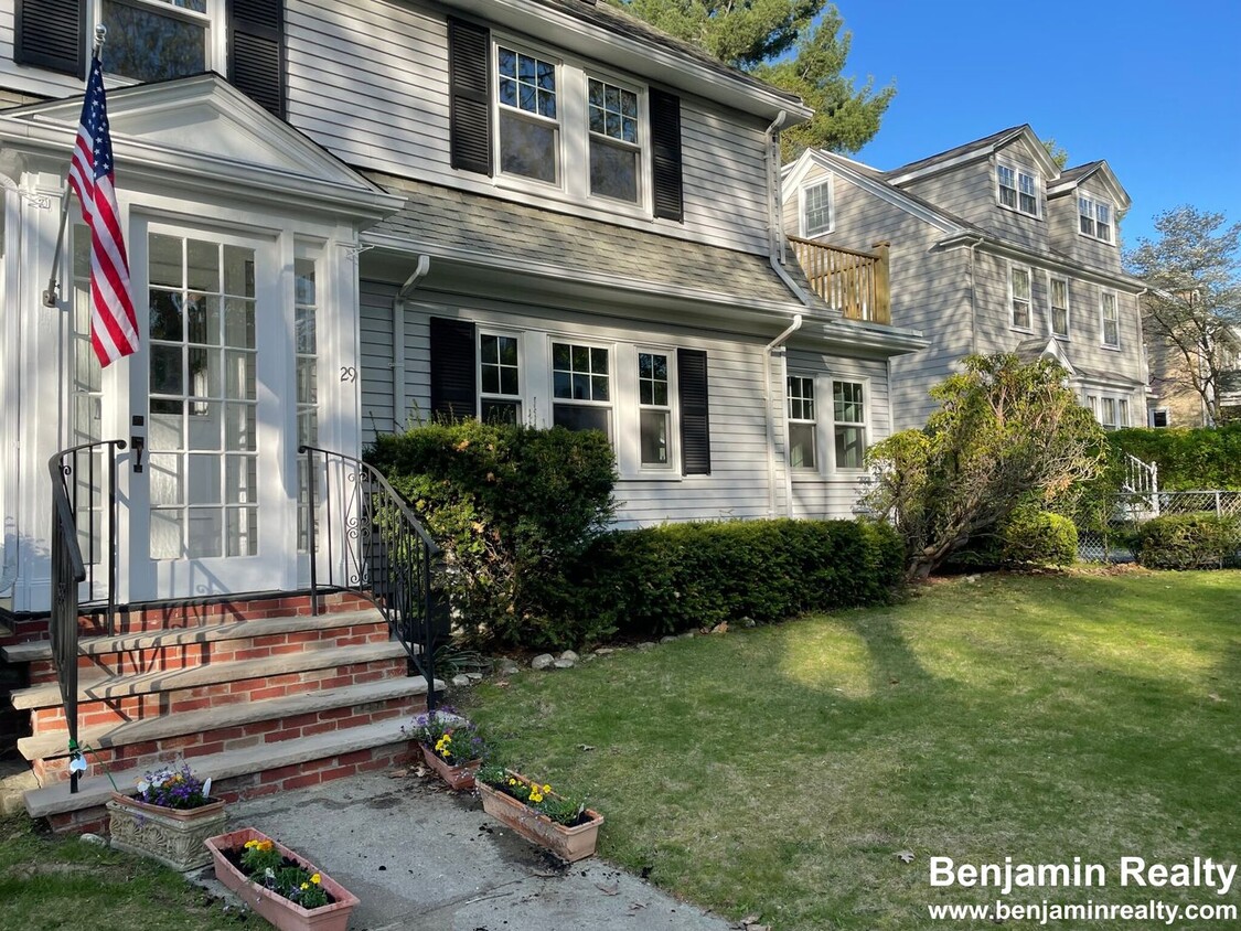
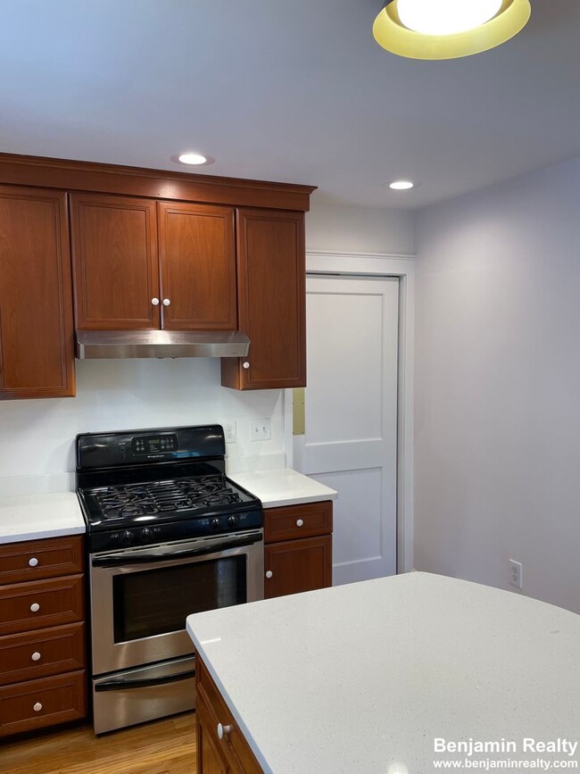
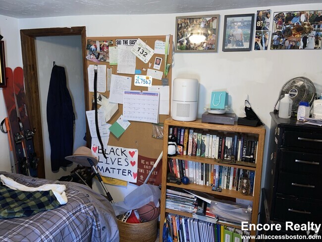
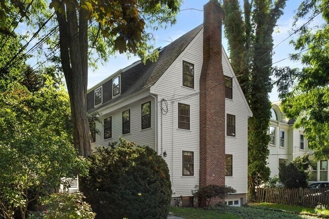
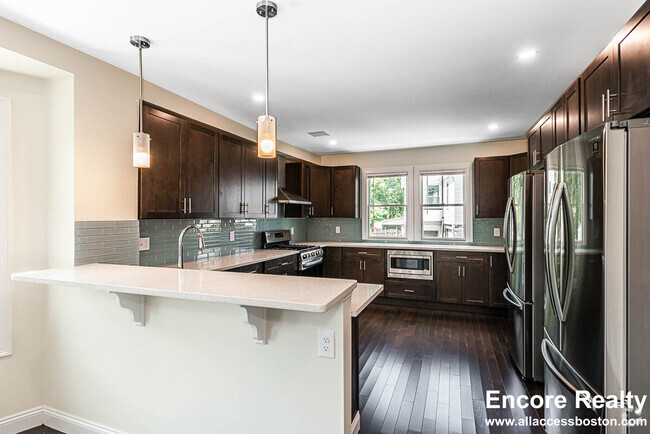
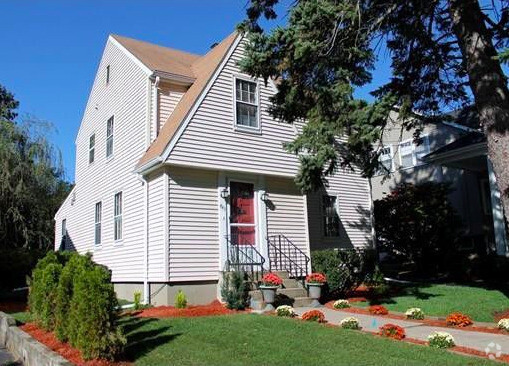
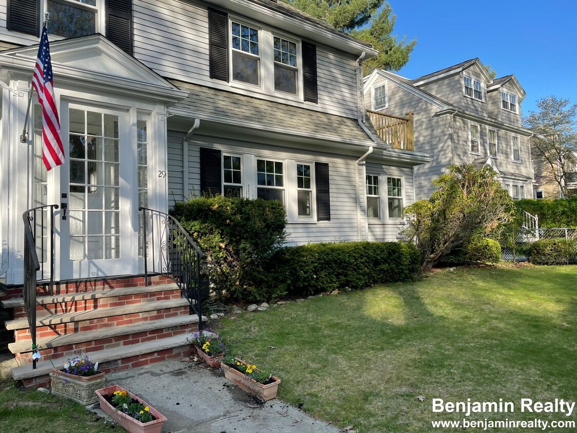
Colonial Home on Tree Lined Street. Many updates, Lead Certificate Compliance, New Quartz Countertop, Recessed Lighting, New Paint, Refinished Hardwood Floors, New Private Balcony, New Windows, New Bath Fixtures, 3 Air Conditioned Levels Living Space huge 4th Bedroom or Family Room with Skylights. Many thoughtful updates include Custom Cherry Cabinets with Breakfast Bar Island, Stainless Appliances, Gas Stove with Vented Hood. Custom Closets, Large Laundry Space with Folding Table, Soap Stone Sink and Storage. Sun room perfect for home office, guest room or play room. Large living room with Beamed Ceilings and Fireplace. Dining room with real wood paneling and lots of natural wood work. Large level yard perfect for games, BBQ or just relaxing. Huge finished attic with New Mini-split AC. Near Medical Shuttle Stop, Bus Stop and Short Walk to Green C/D Lines. Surrounding neighborhood with Heath School, Recreation Center, 3 Parks, Walking Trails, Golf, Mall just mins to Boston
29 Eliot St is a house located in Norfolk County and the 02467 ZIP Code.
 This Property
 Available Property
Chestnut Hill Norfolk sits about five miles west of Downtown Boston and Cambridge. Traveling to and from the neighborhood is easy with access to multiple MBTA stations and buses, Route 9, and I-90. Boston Logan International Airport is just ten miles away as well.
Access to higher education, luxury retailers, and nature abound in Chestnut Hill Norfolk. Boston College, Pine Manor College, and Newbury College are all within close proximity to the neighborhood. All kinds of shopping and dining can be found at the Street at Chestnut Hill, the Shops at Chestnut Hill, and Chestnut Hill Square. Chestnut Hill Reservoir, Brookline Reservoir, Hammond Pond Reservation, Dane Park, and Lost Pond Conversation Area all offer opportunities to connect with nature and engage in outdoor recreation.
Learn more about living in Chestnut Hill Norfolk| Colleges & Universities | Distance | ||
|---|---|---|---|
| Colleges & Universities | Distance | ||
| Drive: | 5 min | 1.9 mi | |
| Drive: | 4 min | 2.1 mi | |
| Drive: | 5 min | 2.5 mi | |
| Drive: | 6 min | 3.0 mi |
Transportation options available in Brookline include Reservoir Station, located 0.7 mile from 29 Eliot St. 29 Eliot St is near General Edward Lawrence Logan International, located 9.1 miles or 18 minutes away.
| Transit / Subway | Distance | ||
|---|---|---|---|
| Transit / Subway | Distance | ||
|
|
Walk: | 13 min | 0.7 mi |
|
|
Walk: | 17 min | 0.9 mi |
|
|
Walk: | 19 min | 1.0 mi |
|
|
Drive: | 2 min | 1.1 mi |
|
|
Drive: | 3 min | 1.1 mi |
| Commuter Rail | Distance | ||
|---|---|---|---|
| Commuter Rail | Distance | ||
|
|
Drive: | 7 min | 3.7 mi |
|
|
Drive: | 6 min | 3.7 mi |
|
|
Drive: | 9 min | 4.7 mi |
|
|
Drive: | 9 min | 5.1 mi |
| Drive: | 12 min | 5.7 mi |
| Airports | Distance | ||
|---|---|---|---|
| Airports | Distance | ||
|
General Edward Lawrence Logan International
|
Drive: | 18 min | 9.1 mi |
Time and distance from 29 Eliot St.
| Shopping Centers | Distance | ||
|---|---|---|---|
| Shopping Centers | Distance | ||
| Drive: | 3 min | 1.4 mi | |
| Drive: | 3 min | 1.5 mi | |
| Drive: | 3 min | 1.7 mi |
| Parks and Recreation | Distance | ||
|---|---|---|---|
| Parks and Recreation | Distance | ||
|
Frederick Law Olmsted National Historic Site
|
Walk: | 15 min | 0.8 mi |
|
Chestnut Hill Reservation
|
Walk: | 15 min | 0.8 mi |
|
Hammond Pond Reservation
|
Drive: | 4 min | 2.3 mi |
|
John Fitzgerald Kennedy National Historic Site
|
Drive: | 5 min | 2.8 mi |
|
Arnold Arboretum of Harvard University
|
Drive: | 7 min | 3.8 mi |
| Hospitals | Distance | ||
|---|---|---|---|
| Hospitals | Distance | ||
| Drive: | 5 min | 2.4 mi | |
| Drive: | 5 min | 2.4 mi | |
| Drive: | 5 min | 2.6 mi |
| Military Bases | Distance | ||
|---|---|---|---|
| Military Bases | Distance | ||
| Drive: | 22 min | 12.6 mi | |
| Drive: | 29 min | 16.5 mi |
You May Also Like
Similar Rentals Nearby
-
-
-
-
-
-
-
-
-
-
$4,0004 Beds, 2.5 Baths, 1,988 sq ftHouse for Rent
What Are Walk Score®, Transit Score®, and Bike Score® Ratings?
Walk Score® measures the walkability of any address. Transit Score® measures access to public transit. Bike Score® measures the bikeability of any address.
What is a Sound Score Rating?
A Sound Score Rating aggregates noise caused by vehicle traffic, airplane traffic and local sources
