
$2,150 / Month
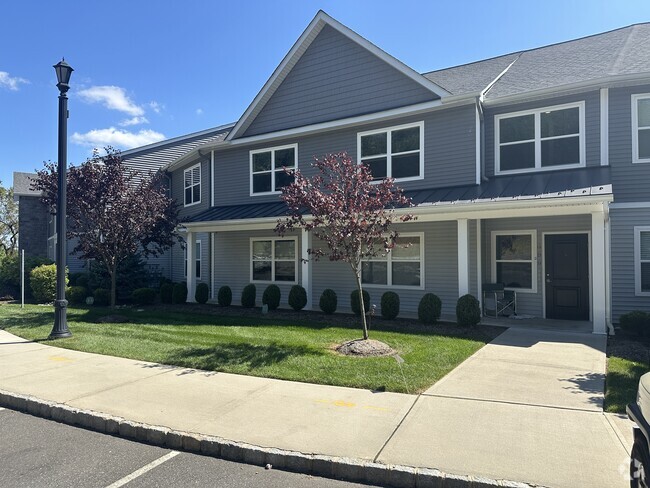
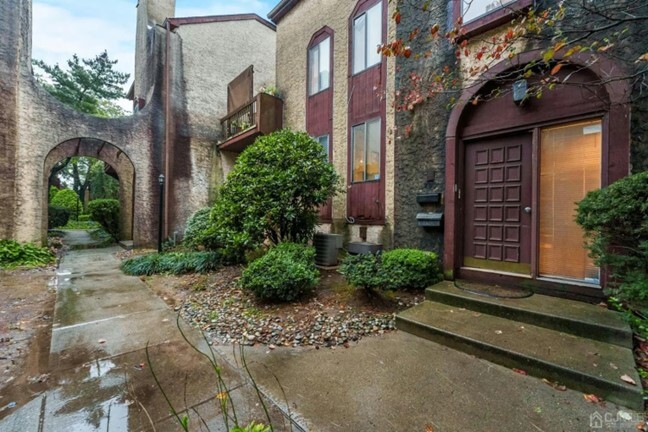
290 High St
Perth Amboy, NJ 08861
2 Weeks Ago
Favorites
290 High St

Favorites
Check Back Soon for Upcoming Availability
| Beds | Baths | Average SF |
|---|---|---|
| 2 Bedrooms 2 Bedrooms 2 Br | 2 Baths 2 Baths 2 Ba | 1,357 SF |
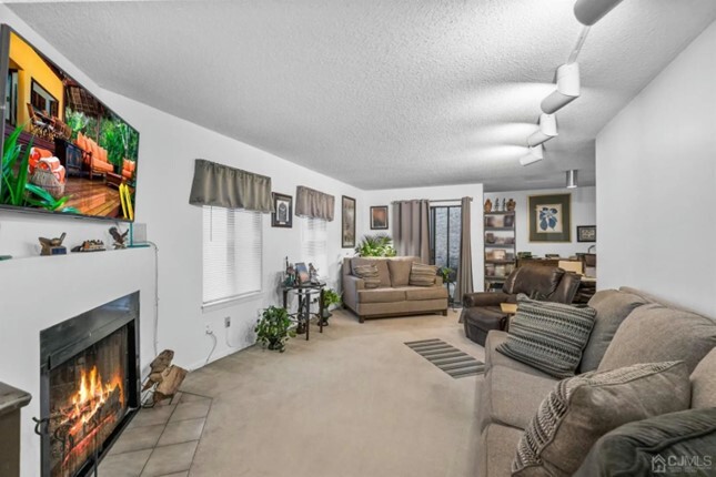
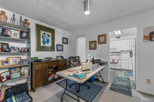
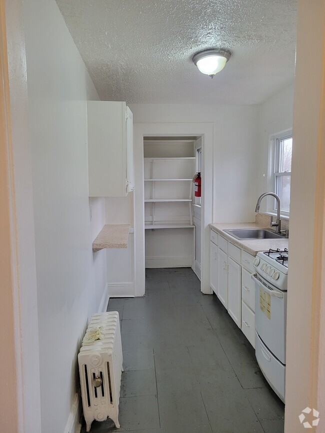
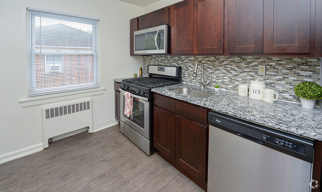
About This Property
Check out your new address in Perth Amboy, NJ. You'll enjoy this great location at 290 High St in Perth Amboy and the destinations nearby. Get a jump start on finding your new place. Let us assist you! Contact us now to learn more about this property!
290 High St is a townhome located in Middlesex County and the 08861 ZIP Code.
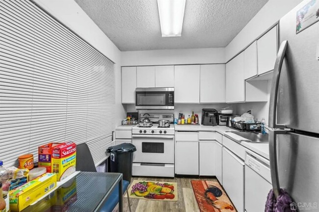
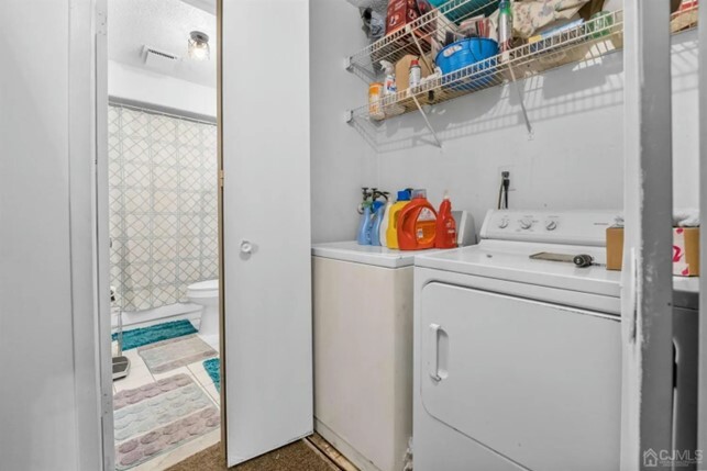
Townhome Features
Washer/Dryer
Tub/Shower
Ceiling Fans
Cable Ready
- Washer/Dryer
- Ceiling Fans
- Cable Ready
- Storage Space
- Tub/Shower
Fees and Policies
The fees below are based on community-supplied data and may exclude additional fees and utilities.
- Parking
-
Street--
Details
Utilities Included
-
Water
-
Sewer
Location
Get Directions
Amenities
- Washer/Dryer
- Ceiling Fans
- Cable Ready
- Storage Space
- Tub/Shower
Expenses
Utilities Included
Water, Sewer
Included
Education
| Colleges & Universities | Distance | ||
|---|---|---|---|
| Colleges & Universities | Distance | ||
| Drive: | 18 min | 8.7 mi | |
| Drive: | 24 min | 13.1 mi | |
| Drive: | 24 min | 13.3 mi | |
| Drive: | 20 min | 13.5 mi |
290 High St is within 18 minutes or 8.7 miles from Middlesex Co. Coll., Edison. It is also near Rutgers University, Livingston and Coll. of Staten Island, CUNY.
Transportation options available in Perth Amboy include 8Th Street Light Rail Station, located 16.1 miles from 290 High St. 290 High St is near Newark Liberty International, located 20.9 miles or 31 minutes away, and John F Kennedy International, located 39.1 miles or 60 minutes away.
| Transit / Subway | Distance | ||
|---|---|---|---|
| Transit / Subway | Distance | ||
| Drive: | 27 min | 16.1 mi | |
|
|
Drive: | 29 min | 17.3 mi |
|
|
Drive: | 30 min | 18.2 mi |
|
|
Drive: | 33 min | 20.0 mi |
|
|
Drive: | 30 min | 22.2 mi |
| Commuter Rail | Distance | ||
|---|---|---|---|
| Commuter Rail | Distance | ||
|
|
Walk: | 10 min | 0.5 mi |
|
|
Drive: | 10 min | 4.2 mi |
|
|
Drive: | 9 min | 4.8 mi |
| Drive: | 10 min | 5.0 mi | |
|
|
Drive: | 11 min | 5.6 mi |
| Airports | Distance | ||
|---|---|---|---|
| Airports | Distance | ||
|
Newark Liberty International
|
Drive: | 31 min | 20.9 mi |
|
John F Kennedy International
|
Drive: | 60 min | 39.1 mi |
Time and distance from 290 High St.
| Shopping Centers | Distance | ||
|---|---|---|---|
| Shopping Centers | Distance | ||
| Drive: | 4 min | 1.5 mi | |
| Drive: | 9 min | 4.5 mi | |
| Drive: | 9 min | 4.8 mi |
290 High St has 3 shopping centers within 4.8 miles, which is about a 9-minute drive. The miles and minutes will be for the farthest away property.
| Parks and Recreation | Distance | ||
|---|---|---|---|
| Parks and Recreation | Distance | ||
|
Alvin P. Williams Memorial Park
|
Drive: | 4 min | 1.5 mi |
|
William Warren Park
|
Drive: | 7 min | 3.1 mi |
|
Raritan Bay Waterfront Park
|
Drive: | 12 min | 4.8 mi |
|
Long Pond Park Preserve
|
Drive: | 12 min | 6.0 mi |
|
Conference House Park
|
Drive: | 13 min | 6.5 mi |
290 High St has 5 parks within 6.5 miles, including Alvin P. Williams Memorial Park, William Warren Park, and Raritan Bay Waterfront Park.
| Hospitals | Distance | ||
|---|---|---|---|
| Hospitals | Distance | ||
| Drive: | 3 min | 1.2 mi | |
| Drive: | 15 min | 8.5 mi | |
| Drive: | 17 min | 9.6 mi |
290 High St has 3 hospitals within 9.6 miles, the nearest is Raritan Bay Medical Center Perth Amboy Division which is 1.2 miles away and a 3 minute drive.
| Military Bases | Distance | ||
|---|---|---|---|
| Military Bases | Distance | ||
| Drive: | 26 min | 13.7 mi | |
| Drive: | 23 min | 14.0 mi |
290 High St is 13.7 miles from Tamdques Reservation, and is convenient to other military bases, including Ash Brook Reservation.
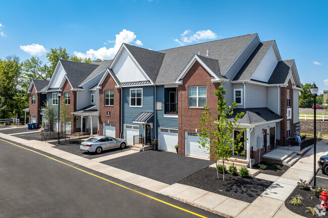
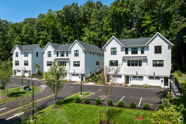
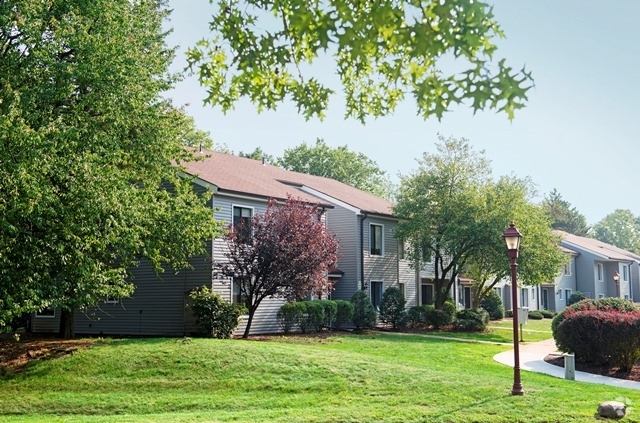
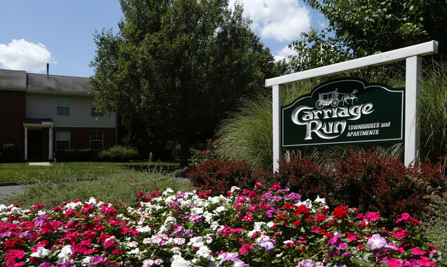
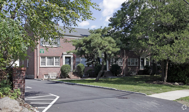
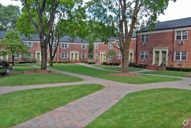
You May Also Like
Similar Rentals Nearby

What Are Walk Score®, Transit Score®, and Bike Score® Ratings?
Walk Score® measures the walkability of any address. Transit Score® measures access to public transit. Bike Score® measures the bikeability of any address.
What is a Sound Score Rating?
A Sound Score Rating aggregates noise caused by vehicle traffic, airplane traffic and local sources
290 High St
Perth Amboy, NJ 08861