
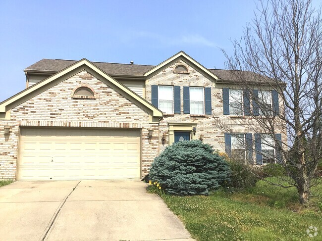
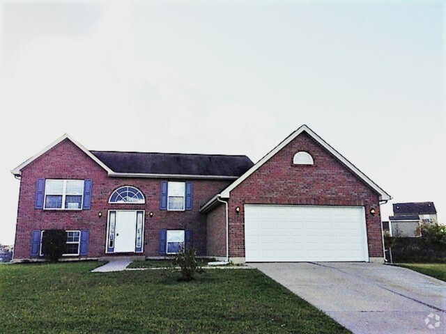
2938 Westridge Ave
2938 Westridge Ave
Cincinnati, OH 45238
2 Weeks Ago
Favorites
2938 Westridge Ave

Favorites
Check Back Soon for Upcoming Availability
| Beds | Baths | Average SF |
|---|---|---|
| 2 Bedrooms 2 Bedrooms 2 Br | 1.5 Baths 1.5 Baths 1.5 Ba | — |
Location
Get Directions
As one of the oldest cities in the United States west of the Appalachians, Cincinnati offers residents contemporary urban living in a historic, distinctive setting. One of the oldest cities in the US houses an influential youth culture. Students, professionals, artists, and musicians of all walks of life come to the southwest corner of Ohio to live and work. College and professional sports are wildly popular, with the Bearcats of the University of Cincinnati, the Reds, and the Bengals enjoying huge fan bases in their hometown.
Renters and visitors alike will delight in attractions like the Cincinnati Art Museum, the Newport Aquarium, and the city’s iconic zoo. The annual Oktoberfest is one of the biggest celebrations of its kind outside of Munich, drawing thousands to the streets to celebrate the city’s German heritage.
Learn more about living in Cincinnati
Education
| Colleges & Universities | Distance | ||
|---|---|---|---|
| Colleges & Universities | Distance | ||
| Drive: | 11 min | 4.7 mi | |
| Drive: | 16 min | 6.4 mi | |
| Drive: | 14 min | 6.7 mi | |
| Drive: | 16 min | 7.1 mi |
2938 Westridge Ave is within 11 minutes or 4.7 miles from College of Mount St. Joseph. It is also near Cincinnati State and University of Cincinnati.
Transportation options available in Cincinnati include Brewery District Station, Elm & Henry, located 5.2 miles from 2938 Westridge Ave. 2938 Westridge Ave is near Cincinnati/Northern Kentucky International, located 19.6 miles or 37 minutes away.
| Transit / Subway | Distance | ||
|---|---|---|---|
| Transit / Subway | Distance | ||
| Drive: | 12 min | 5.2 mi | |
| Drive: | 13 min | 5.4 mi | |
| Drive: | 13 min | 5.5 mi | |
| Drive: | 13 min | 5.6 mi | |
| Drive: | 13 min | 5.8 mi |
| Commuter Rail | Distance | ||
|---|---|---|---|
| Commuter Rail | Distance | ||
|
|
Drive: | 13 min | 5.5 mi |
| Airports | Distance | ||
|---|---|---|---|
| Airports | Distance | ||
|
Cincinnati/Northern Kentucky International
|
Drive: | 37 min | 19.6 mi |
Time and distance from 2938 Westridge Ave.
| Shopping Centers | Distance | ||
|---|---|---|---|
| Shopping Centers | Distance | ||
| Walk: | 14 min | 0.8 mi | |
| Walk: | 18 min | 0.9 mi | |
| Walk: | 19 min | 1.0 mi |
2938 Westridge Ave has 3 shopping centers within 1.0 miles, which is about a 19-minute walk. The miles and minutes will be for the farthest away property.
| Parks and Recreation | Distance | ||
|---|---|---|---|
| Parks and Recreation | Distance | ||
|
Imago Earth Center
|
Drive: | 10 min | 3.8 mi |
|
Mt. Airy Forest
|
Drive: | 9 min | 3.8 mi |
|
Embshoff Woods
|
Drive: | 12 min | 4.3 mi |
|
Wilson Commons
|
Drive: | 12 min | 4.5 mi |
|
Cincinnati History Museum
|
Drive: | 13 min | 5.5 mi |
2938 Westridge Ave has 5 parks within 5.5 miles, including Imago Earth Center, Mt. Airy Forest, and Embshoff Woods.
| Hospitals | Distance | ||
|---|---|---|---|
| Hospitals | Distance | ||
| Drive: | 10 min | 3.9 mi | |
| Drive: | 13 min | 5.9 mi | |
| Drive: | 15 min | 6.3 mi |
2938 Westridge Ave has 3 hospitals within 6.3 miles, the nearest is Mercy Health - West Hospital which is 3.9 miles away and a 10 minute drive.
| Military Bases | Distance | ||
|---|---|---|---|
| Military Bases | Distance | ||
| Drive: | 75 min | 56.1 mi | |
| Drive: | 82 min | 61.2 mi | |
| Drive: | 84 min | 64.5 mi |
2938 Westridge Ave has 3 military bases within 64.5 miles, the nearest is Gentile Air Force Station which is 56.1 miles away and a 75 minute drive.
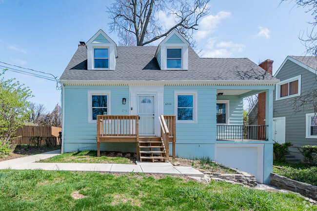
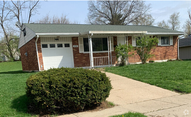
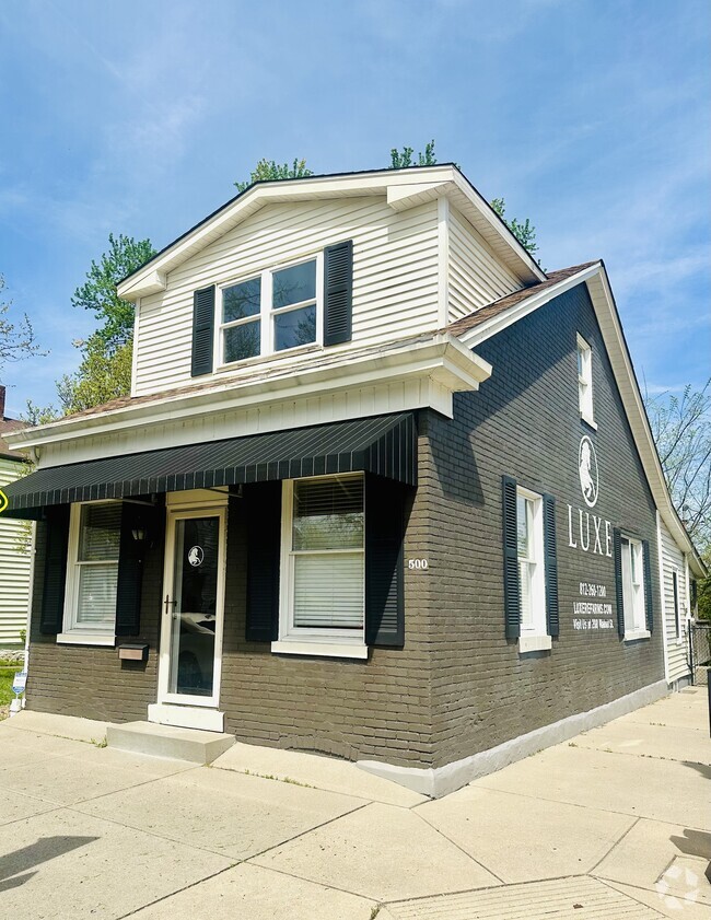
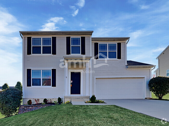
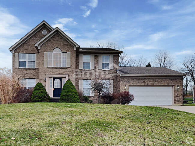
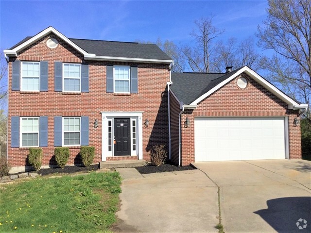
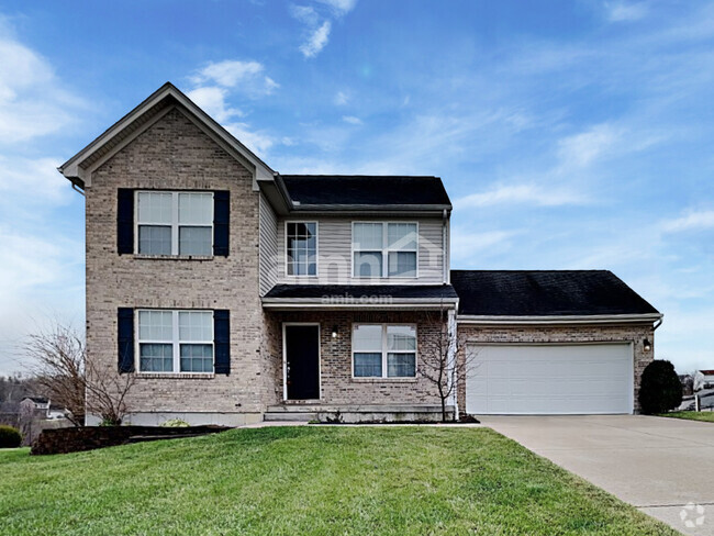
You May Also Like
Similar Rentals Nearby

What Are Walk Score®, Transit Score®, and Bike Score® Ratings?
Walk Score® measures the walkability of any address. Transit Score® measures access to public transit. Bike Score® measures the bikeability of any address.
What is a Sound Score Rating?
A Sound Score Rating aggregates noise caused by vehicle traffic, airplane traffic and local sources
2938 Westridge Ave
Cincinnati, OH 45238