$2,375 / Month
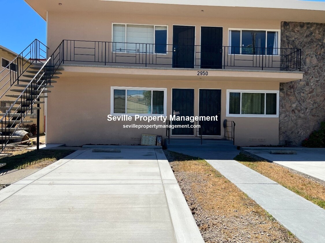
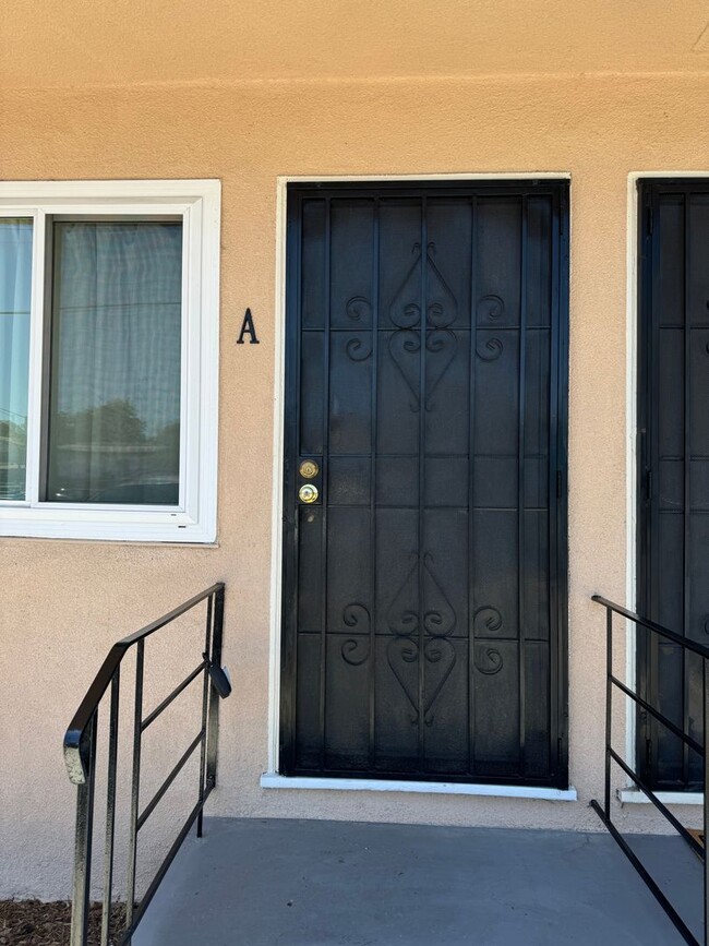
2950 Stanton St Unit A
Berkeley, CA 94702
1 Day Ago
Favorites
206-350-7032
-
Bedrooms
2
-
Bathrooms
1
-
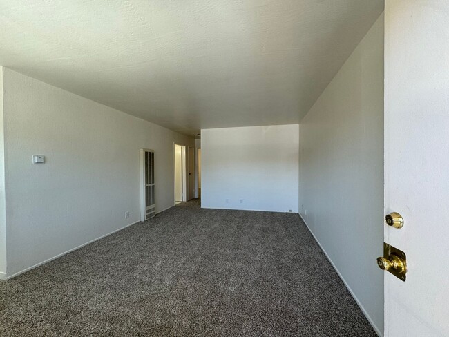
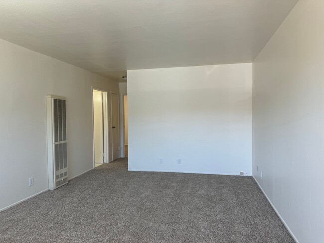
Square Feet
700 sq ft
-
Available
Available Now
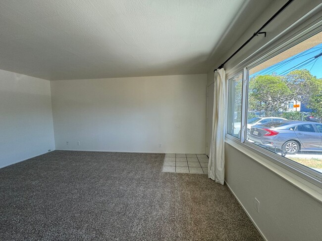
2950 Stanton St Unit A

Favorites
About This Home
$2,375 deposit,
Available Now
Welcome to your new place in Berkeley, CA. This rental is situated at 2950 Stanton St in the 94702 area of Berkeley. With this great space, you're right at home. Contact us to schedule a tour.
2950 Stanton St is an apartment community located in Alameda County and the 94702 ZIP Code.
* Price shown is base rent and may not include non-optional fees and utilities.
Price, availability, fees, and any applicable rent special are subject to change without notice.
* Square footage definitions vary. Displayed square footage is approximate.
Contact
- Listed by Seville Property Management | Seville Property Management
- Phone Number
- Contact
Location
Get Directions
Southwest Berkeley is bounded by University Avenue to the north, Sacramento Street to the East, Alcatraz Avenue to the south and the San Francisco Bay to the west. Southwest Berkeley comprises a fascinating mix of the educational and the industrial. Less dense than the more inland parts of Berkeley, Southwest Berkeley has a diverse mix of apartment and home rentals that will delight students and families alike. Convenient access to the illustrious university make this a great option for students and staff, but any renter will love the restaurant and retail options that make this walkable locale so convenient.
Learn more about living in Southwest Berkeley
Education
| Colleges & Universities | Distance | ||
|---|---|---|---|
| Colleges & Universities | Distance | ||
| Drive: | 5 min | 1.8 mi | |
| Drive: | 7 min | 3.0 mi | |
| Drive: | 10 min | 3.1 mi | |
| Drive: | 9 min | 3.8 mi |
2950 Stanton St Unit A is within 5 minutes or 1.8 miles from Berkeley City College. It is also near UC Berkeley and Samuel Merritt University.
Transportation options available in Berkeley include Ashby Station, located 0.7 mile from 2950 Stanton St Unit A. 2950 Stanton St Unit A is near Metro Oakland International, located 13.4 miles or 22 minutes away, and San Francisco International, located 22.8 miles or 36 minutes away.
| Transit / Subway | Distance | ||
|---|---|---|---|
| Transit / Subway | Distance | ||
|
|
Walk: | 13 min | 0.7 mi |
|
|
Drive: | 5 min | 1.7 mi |
|
|
Drive: | 5 min | 1.9 mi |
|
|
Drive: | 8 min | 2.8 mi |
|
|
Drive: | 8 min | 3.9 mi |
| Commuter Rail | Distance | ||
|---|---|---|---|
| Commuter Rail | Distance | ||
|
|
Drive: | 4 min | 1.5 mi |
|
|
Drive: | 6 min | 2.1 mi |
|
|
Drive: | 10 min | 4.6 mi |
| Drive: | 18 min | 10.4 mi | |
| Drive: | 19 min | 11.6 mi |
| Airports | Distance | ||
|---|---|---|---|
| Airports | Distance | ||
|
Metro Oakland International
|
Drive: | 22 min | 13.4 mi |
|
San Francisco International
|
Drive: | 36 min | 22.8 mi |
Time and distance from 2950 Stanton St Unit A.
| Shopping Centers | Distance | ||
|---|---|---|---|
| Shopping Centers | Distance | ||
| Drive: | 4 min | 1.4 mi | |
| Drive: | 4 min | 1.7 mi | |
| Drive: | 5 min | 1.8 mi |
2950 Stanton St Unit A has 3 shopping centers within 1.8 miles, which is about a 5-minute drive. The miles and minutes will be for the farthest away property.
| Parks and Recreation | Distance | ||
|---|---|---|---|
| Parks and Recreation | Distance | ||
|
Strawberry Creek Park
|
Drive: | 4 min | 1.4 mi |
|
San Francisco Bay Trail (at Emeryville)
|
Drive: | 3 min | 1.4 mi |
|
Willard Park
|
Drive: | 5 min | 1.6 mi |
|
Habitot Children's Museum
|
Drive: | 5 min | 1.7 mi |
|
People's Park
|
Drive: | 6 min | 2.0 mi |
2950 Stanton St Unit A has 5 parks within 2.0 miles, including Strawberry Creek Park, San Francisco Bay Trail (at Emeryville), and Willard Park.
| Hospitals | Distance | ||
|---|---|---|---|
| Hospitals | Distance | ||
| Drive: | 4 min | 1.3 mi | |
| Drive: | 4 min | 1.6 mi | |
| Drive: | 7 min | 2.9 mi |
2950 Stanton St Unit A has 3 hospitals within 2.9 miles, the nearest is Alta Bates Summit Medical Center - Alta Bates Campus which is 1.3 miles away and a 4 minute drive.
| Military Bases | Distance | ||
|---|---|---|---|
| Military Bases | Distance | ||
| Drive: | 15 min | 5.8 mi | |
| Drive: | 15 min | 7.6 mi |
2950 Stanton St Unit A is 5.8 miles from Oakland Army Base, and is convenient to other military bases, including Military Reservation.
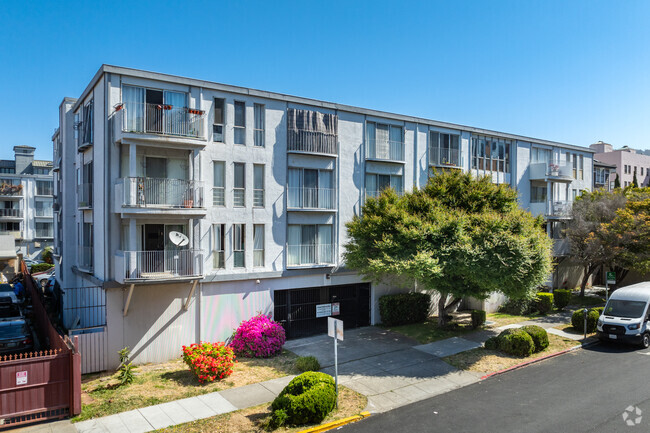
You May Also Like
Similar Rentals Nearby


What Are Walk Score®, Transit Score®, and Bike Score® Ratings?
Walk Score® measures the walkability of any address. Transit Score® measures access to public transit. Bike Score® measures the bikeability of any address.
What is a Sound Score Rating?
A Sound Score Rating aggregates noise caused by vehicle traffic, airplane traffic and local sources

2950 Stanton St
Berkeley, CA 94702