-
Monthly Rent
$1,475
-
Bedrooms
2 bd
-
Bathrooms
1 ba
-
Square Feet
900 sq ft
Details

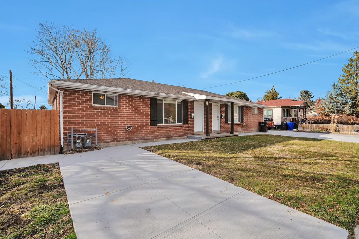
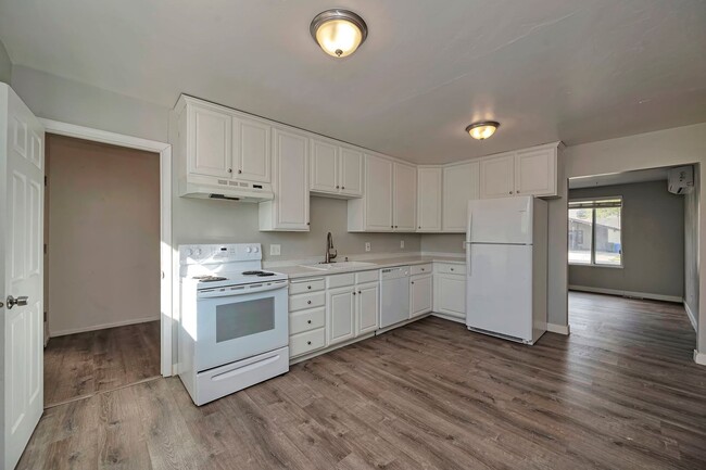
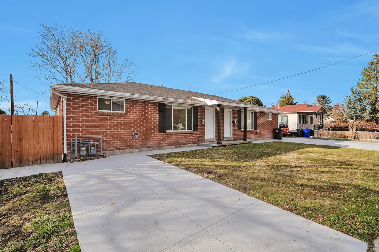
2960 S Adams St is an apartment community located in Salt Lake County and the 84115 ZIP Code.
Features
- Dishwasher
Fees and Policies
 This Property
 Available Property
- Dishwasher
South Salt Lake City, the self-proclaimed “City on the Move” is a charming neighborhood known for its abundant commuters who travel into the greater Salt Lake area. Because South Salt Lake City sits only about five miles south of the heart of Salt Lake City’s booming downtown district, many people choose to rent in this neighborhood and commute downtown for work or leisure. Complete with its own version of Chinatown and some upscale sushi restaurants, South Salt Lake City has become a steadily growing community in the city. Because public transportation makes it simple to get around and apartment rental prices are lower than in downtown, South Salt Lake City is becoming more and more appealing to renters.
Learn more about living in South Salt Lake City| Colleges & Universities | Distance | ||
|---|---|---|---|
| Colleges & Universities | Distance | ||
| Drive: | 8 min | 3.2 mi | |
| Drive: | 9 min | 5.1 mi | |
| Drive: | 13 min | 5.6 mi | |
| Drive: | 14 min | 5.9 mi |
Transportation options available in South Salt Lake include 500 East Station, located 1.2 miles from 2960 S Adams St Unit #S. 2960 S Adams St Unit #S is near Salt Lake City International, located 11.3 miles or 17 minutes away.
| Transit / Subway | Distance | ||
|---|---|---|---|
| Transit / Subway | Distance | ||
|
|
Drive: | 3 min | 1.2 mi |
|
|
Drive: | 3 min | 1.4 mi |
|
|
Drive: | 4 min | 1.5 mi |
|
|
Drive: | 4 min | 1.6 mi |
|
|
Drive: | 4 min | 1.7 mi |
| Commuter Rail | Distance | ||
|---|---|---|---|
| Commuter Rail | Distance | ||
|
|
Drive: | 13 min | 7.3 mi |
|
|
Drive: | 14 min | 8.7 mi |
|
|
Drive: | 17 min | 12.1 mi |
|
|
Drive: | 22 min | 15.4 mi |
|
|
Drive: | 20 min | 15.7 mi |
| Airports | Distance | ||
|---|---|---|---|
| Airports | Distance | ||
|
Salt Lake City International
|
Drive: | 17 min | 11.3 mi |
Time and distance from 2960 S Adams St Unit #S.
| Shopping Centers | Distance | ||
|---|---|---|---|
| Shopping Centers | Distance | ||
| Walk: | 12 min | 0.7 mi | |
| Walk: | 14 min | 0.7 mi | |
| Walk: | 14 min | 0.7 mi |
| Parks and Recreation | Distance | ||
|---|---|---|---|
| Parks and Recreation | Distance | ||
|
Jordan River Parkway
|
Drive: | 9 min | 3.1 mi |
|
Liberty Park
|
Drive: | 7 min | 3.6 mi |
|
Tracy Aviary
|
Drive: | 10 min | 4.2 mi |
|
California National Historic Trail
|
Drive: | 11 min | 4.5 mi |
|
International Peace Gardens
|
Drive: | 11 min | 5.9 mi |
| Hospitals | Distance | ||
|---|---|---|---|
| Hospitals | Distance | ||
| Drive: | 5 min | 2.5 mi | |
| Drive: | 9 min | 4.0 mi | |
| Drive: | 11 min | 5.3 mi |
| Military Bases | Distance | ||
|---|---|---|---|
| Military Bases | Distance | ||
| Drive: | 14 min | 9.6 mi |
You May Also Like
Similar Rentals Nearby
What Are Walk Score®, Transit Score®, and Bike Score® Ratings?
Walk Score® measures the walkability of any address. Transit Score® measures access to public transit. Bike Score® measures the bikeability of any address.
What is a Sound Score Rating?
A Sound Score Rating aggregates noise caused by vehicle traffic, airplane traffic and local sources
