1 / 2
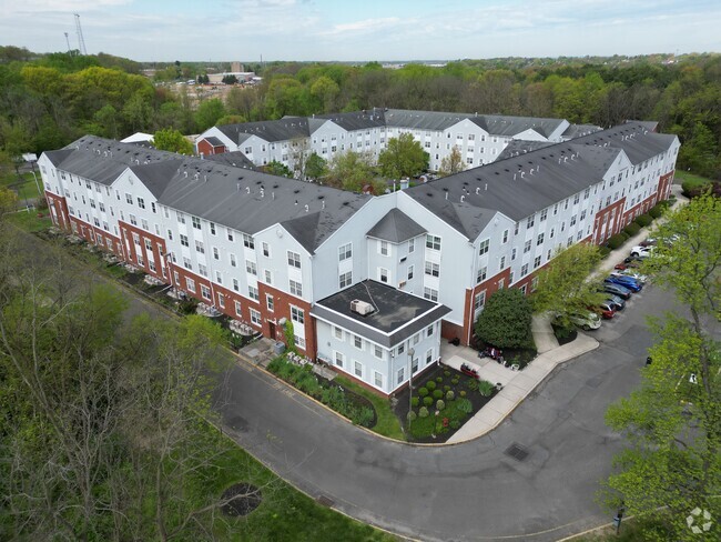
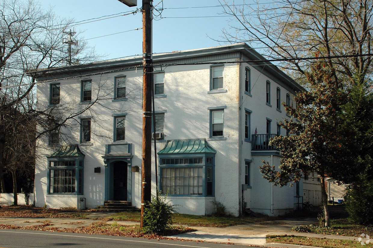

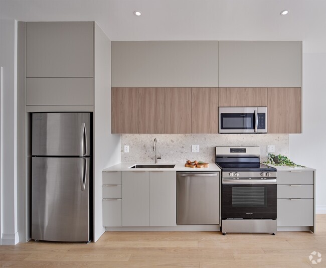
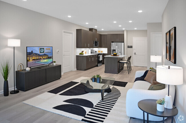
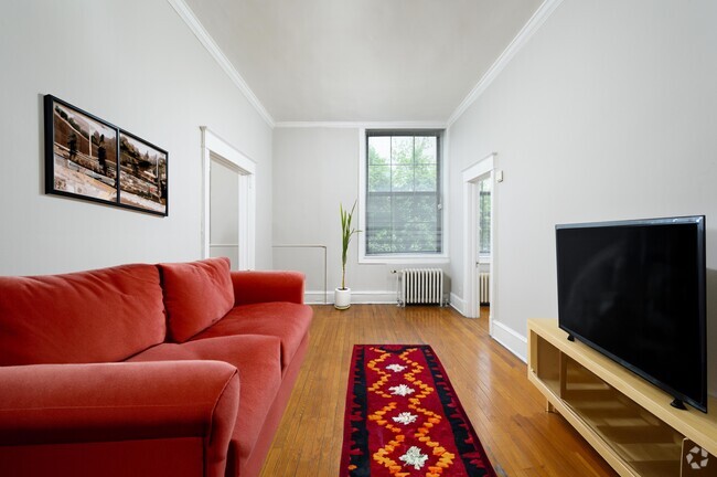
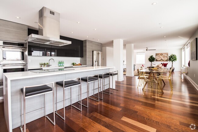
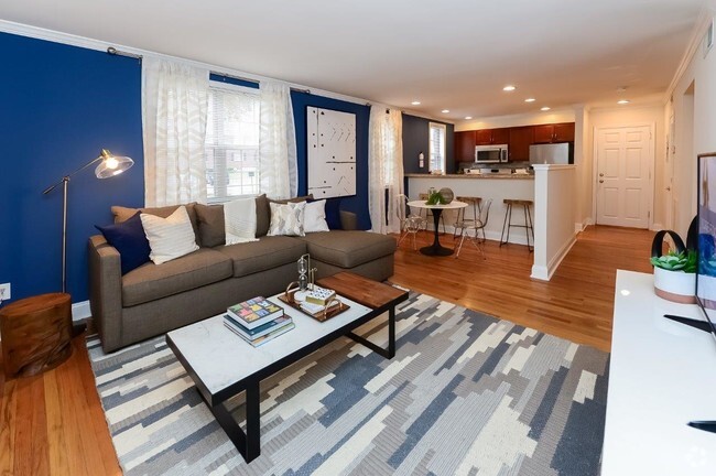
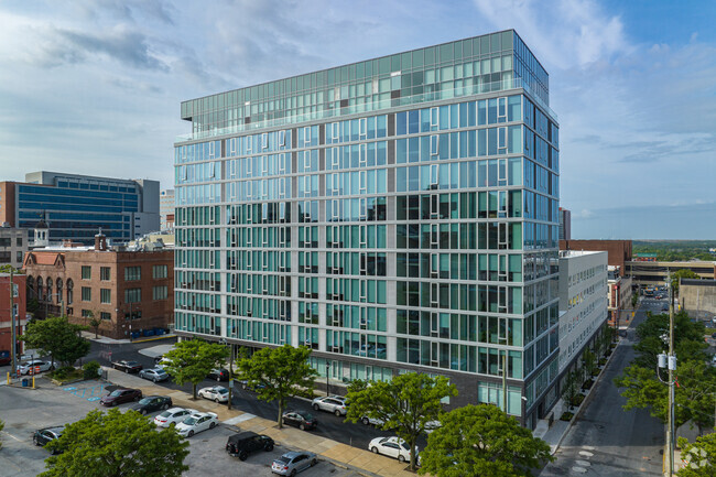
At 297 Kings Hwy in Clarksboro, NJ, experience fine living. This community is located at 297 Kings Hwy. in the 08020 area of Clarksboro. Schedule a time to see the available floorplan options. The leasing staff is waiting to show you all that this community has in store. Start living the good life at 297 Kings Hwy. Contact or drop by the leasing office to talk about leasing your next apartment.
297 Kings Hwy is an apartment community located in Gloucester County and the 08020 ZIP Code. This area is served by the East Greenwich Township Board Of Education attendance zone.
| Colleges & Universities | Distance | ||
|---|---|---|---|
| Colleges & Universities | Distance | ||
| Drive: | 14 min | 8.0 mi | |
| Drive: | 17 min | 9.6 mi | |
| Drive: | 22 min | 13.9 mi | |
| Drive: | 27 min | 16.5 mi |


Transportation options available in Clarksboro include Island Avenue And 76Th Street, located 19.6 miles from 297 Kings Hwy. 297 Kings Hwy is near Philadelphia International, located 20.0 miles or 31 minutes away.
| Transit / Subway | Distance | ||
|---|---|---|---|
| Transit / Subway | Distance | ||
|
|
Drive: | 31 min | 19.6 mi |
|
|
Drive: | 30 min | 19.7 mi |
|
|
Drive: | 31 min | 19.8 mi |
|
|
Drive: | 30 min | 19.9 mi |
|
|
Drive: | 30 min | 20.0 mi |
| Commuter Rail | Distance | ||
|---|---|---|---|
| Commuter Rail | Distance | ||
|
|
Drive: | 23 min | 14.5 mi |
|
|
Drive: | 29 min | 19.5 mi |
|
|
Drive: | 30 min | 19.8 mi |
|
|
Drive: | 33 min | 20.0 mi |
|
|
Drive: | 31 min | 20.2 mi |
| Airports | Distance | ||
|---|---|---|---|
| Airports | Distance | ||
|
Philadelphia International
|
Drive: | 31 min | 20.0 mi |
Time and distance from 297 Kings Hwy.
| Shopping Centers | Distance | ||
|---|---|---|---|
| Shopping Centers | Distance | ||
| Drive: | 4 min | 2.7 mi | |
| Drive: | 5 min | 2.9 mi | |
| Drive: | 6 min | 3.5 mi |
| Parks and Recreation | Distance | ||
|---|---|---|---|
| Parks and Recreation | Distance | ||
|
Creamy Acres Farm
|
Drive: | 17 min | 8.3 mi |
|
Upland Park
|
Drive: | 22 min | 13.7 mi |
|
Franklin D. Roosevelt Park
|
Drive: | 25 min | 16.4 mi |
|
Bartram's Garden
|
Drive: | 29 min | 18.9 mi |
|
John Heinz National Wildlife Refuge
|
Drive: | 31 min | 20.2 mi |
| Hospitals | Distance | ||
|---|---|---|---|
| Hospitals | Distance | ||
| Drive: | 10 min | 5.2 mi | |
| Drive: | 18 min | 10.9 mi | |
| Drive: | 22 min | 15.8 mi |
| Military Bases | Distance | ||
|---|---|---|---|
| Military Bases | Distance | ||
| Drive: | 24 min | 16.5 mi |
Statewide service is free, confidential, multilingual and always open. Three easy ways to reach Social Services in NJ: Dial 2-1-1; text your zip code to 898-211; or chat at https://www.nj211.org
What Are Walk Score®, Transit Score®, and Bike Score® Ratings?
Walk Score® measures the walkability of any address. Transit Score® measures access to public transit. Bike Score® measures the bikeability of any address.
What is a Sound Score Rating?
A Sound Score Rating aggregates noise caused by vehicle traffic, airplane traffic and local sources


Responded To This Review