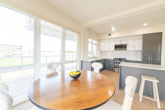
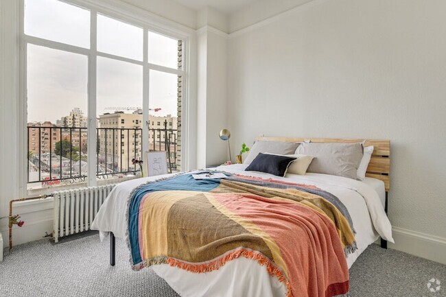
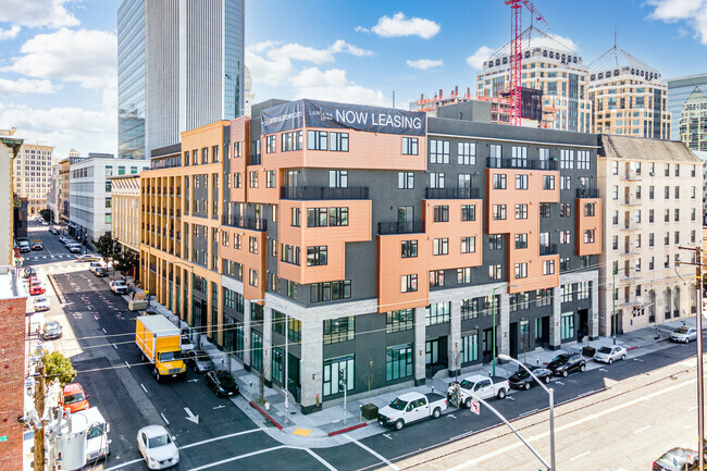
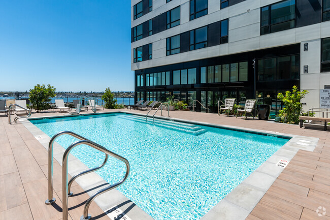
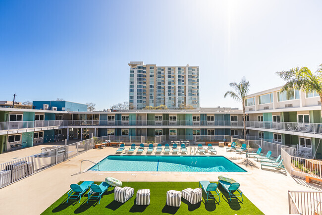
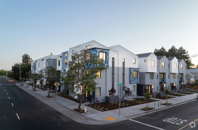
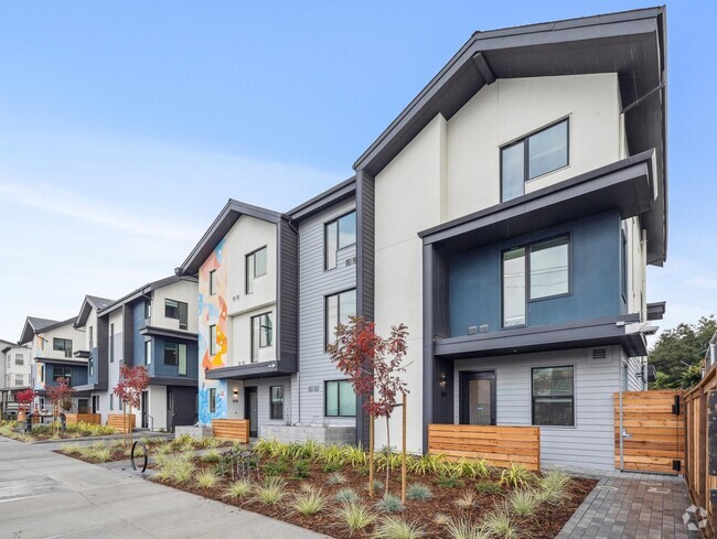
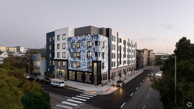
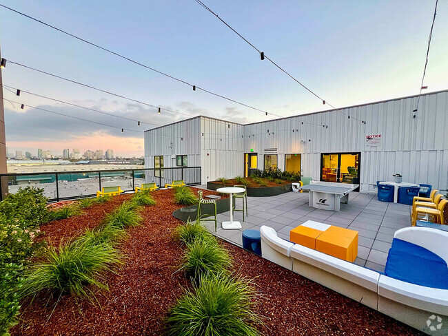
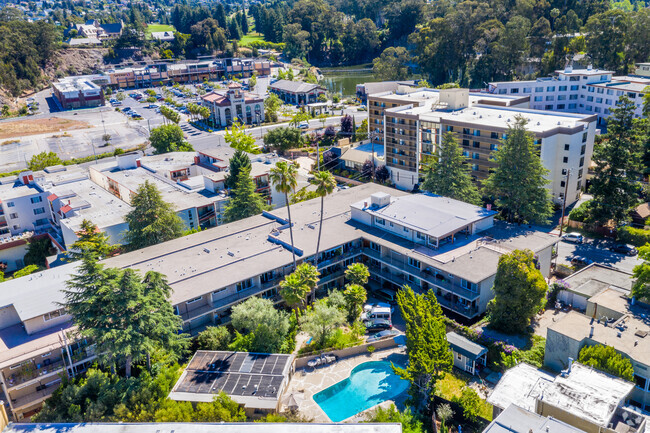
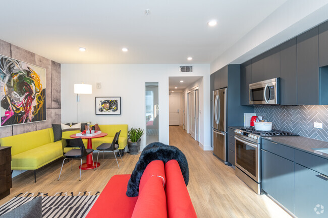
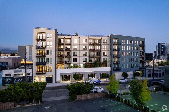
Apartments for Rent in Oakland CA - 4,290 Rentals
-
-
-
-
-
-
-
-
-
-
-
-
-
-
-
-
-
-
-
-
-
-
-
-
-
-
-
-
-
-
-
-
-
-
-
-
-
-
-
-
-
Showing 40 of 700 Results - Page 1 of 18


Find the Perfect Oakland, CA Apartment
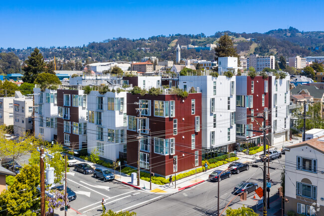
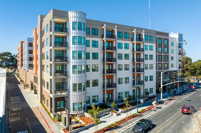
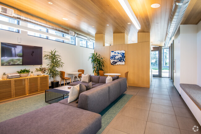
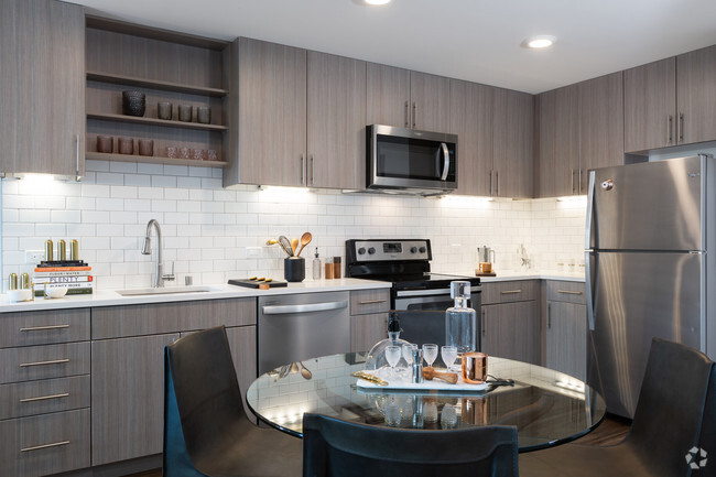
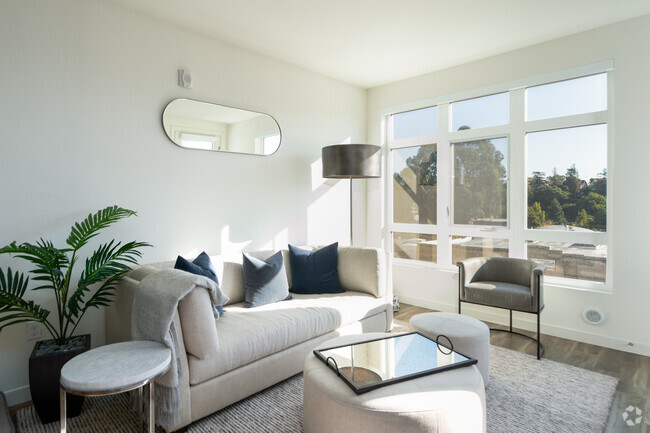
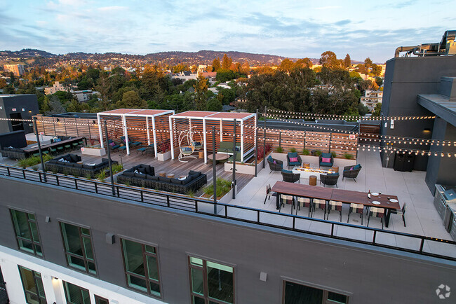
Oakland, CA Apartments for Rent
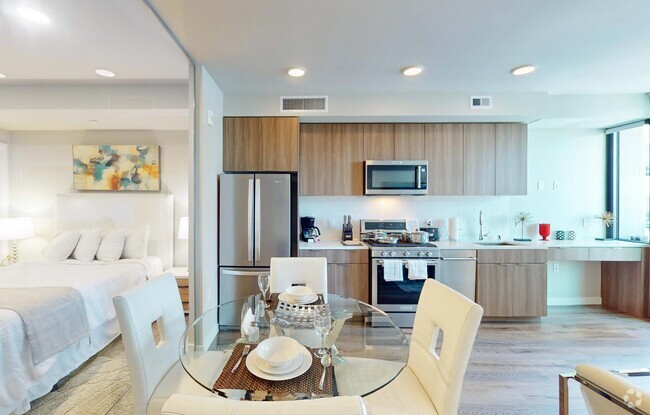
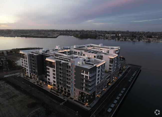
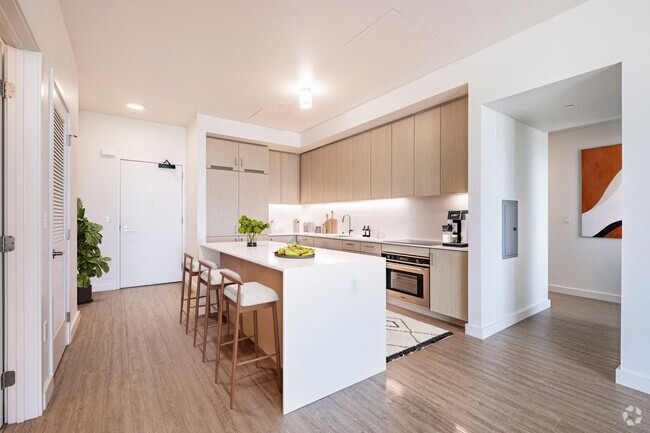
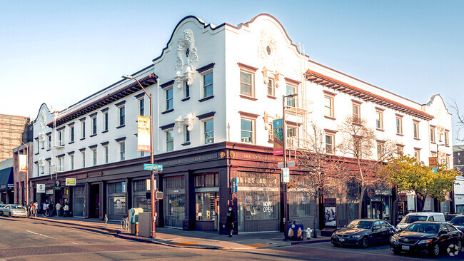
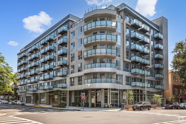
Renting an apartment in Oakland offers choices from a mix of urban and residential neighborhoods. Just across the bay from San Francisco, Oakland is known for its diverse culture, arts scene, and eclectic neighborhoods. Whether you’re looking for a trendy spot in areas like Downtown Oakland or prefer a quieter, more residential feel in neighborhoods like Rockridge or the Oakland Hills, there are options for every lifestyle. The city offers a variety of apartment types, from modern high-rises to charming older buildings, making it easy to find a home that fits your needs.
Amenities and Living in Oakland
Living in Oakland means having access to a rich mix of cultural, recreational, and practical amenities. The city is home to a wide range of dining options, from international restaurants to local cafes and bars. Outdoor enthusiasts are near East Bay Regional Park and the Oakland Zoo. Oakland is also known for its artistic vibe, with places like the Oakland Art Museum and the California College of the Arts contributing to the city’s creative energy. With excellent public transportation options like BART and AC Transit, commuting to other parts of the Bay Area is convenient, making Oakland an ideal choice for both work and play.
Oakland, CA Rental Insights
Average Rent Rates
What is the average rent in Oakland, CA?
The average rent in Oakland is $2,031. When you rent an apartment in Oakland, you can expect to pay as little as $1,683 or as much as $3,404, depending on the location and the size of the apartment.
What is the average rent of a Studio apartment in Oakland, CA?
The average rent for a studio apartment in Oakland, CA is $1,683 per month.
What is the average rent of a 1 bedroom apartment in Oakland, CA?
The average rent for a one bedroom apartment in Oakland, CA is $2,031 per month.
What is the average rent of a 2 bedroom apartment in Oakland, CA?
The average rent for a two bedroom apartment in Oakland, CA is $2,664 per month.
What is the average rent of a 3 bedroom apartment in Oakland, CA?
The average rent for a three bedroom apartment in Oakland, CA is $3,404 per month.
Transportation
How transit friendly is Oakland, CA?
Transit options in Oakland vary, but overall, it has a transit score of 63.
Education
What are the top Elementary schools in Oakland, CA?
In Oakland, you’ll find top-ranking elementary schools like Lincoln Elementary, Redwood Heights Elementary, and Crocker Highlands Elementary.
What are the top middle schools in Oakland, CA?
Oakland is home to some top-ranking middle schools, including Edna Brewer Middle, Life Academy, and Hillcrest Elementary.
What are the top high schools in Oakland, CA?
Moving is tough for high school students! Look for Oakland apartments near top-ranking high schools like Oakland Technical High, Life Academy, and Skyline High.
What colleges and universities are in Oakland, CA?
If you’re a student moving to an apartment in Oakland, you’ll have access to Laney College, Lincoln University, Oakland, and Mills College.
Helpful Rental Guides for Oakland, CA


Search Nearby Rentals
Apartment Rentals Near Oakland
Neighborhood Apartment Rentals
- Oakland Hills Apartments for Rent
- East Oakland Apartments for Rent
- Downtown Oakland Apartments for Rent
- South Of Market Apartments for Rent
- Downtown San Francisco Apartments for Rent
- Bayview/Visitacion Valley Apartments for Rent
- Richmond/Western Addition Apartments for Rent
- Daly City/Brisbane Apartments for Rent
- Foothill Apartments for Rent
- Highland Terrace Apartments for Rent