-
Monthly Rent
$2,400
-
Bedrooms
2 bd
-
Bathrooms
1 ba
-
Square Feet
800 sq ft
Details

About This Property
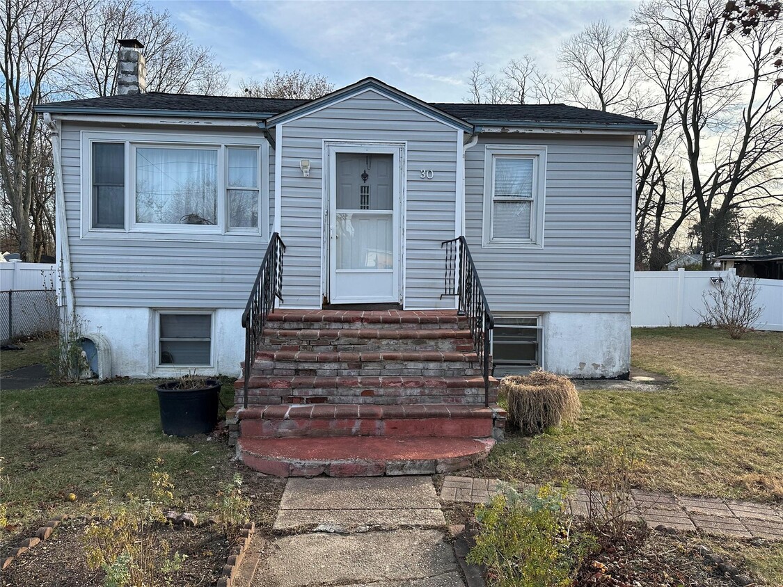
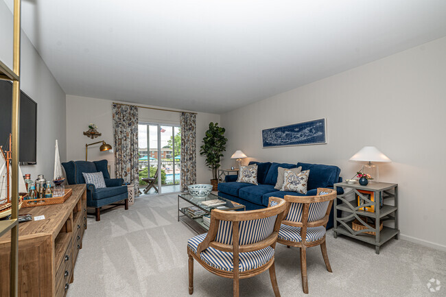
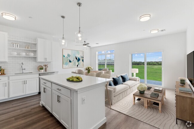
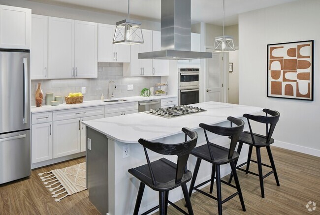
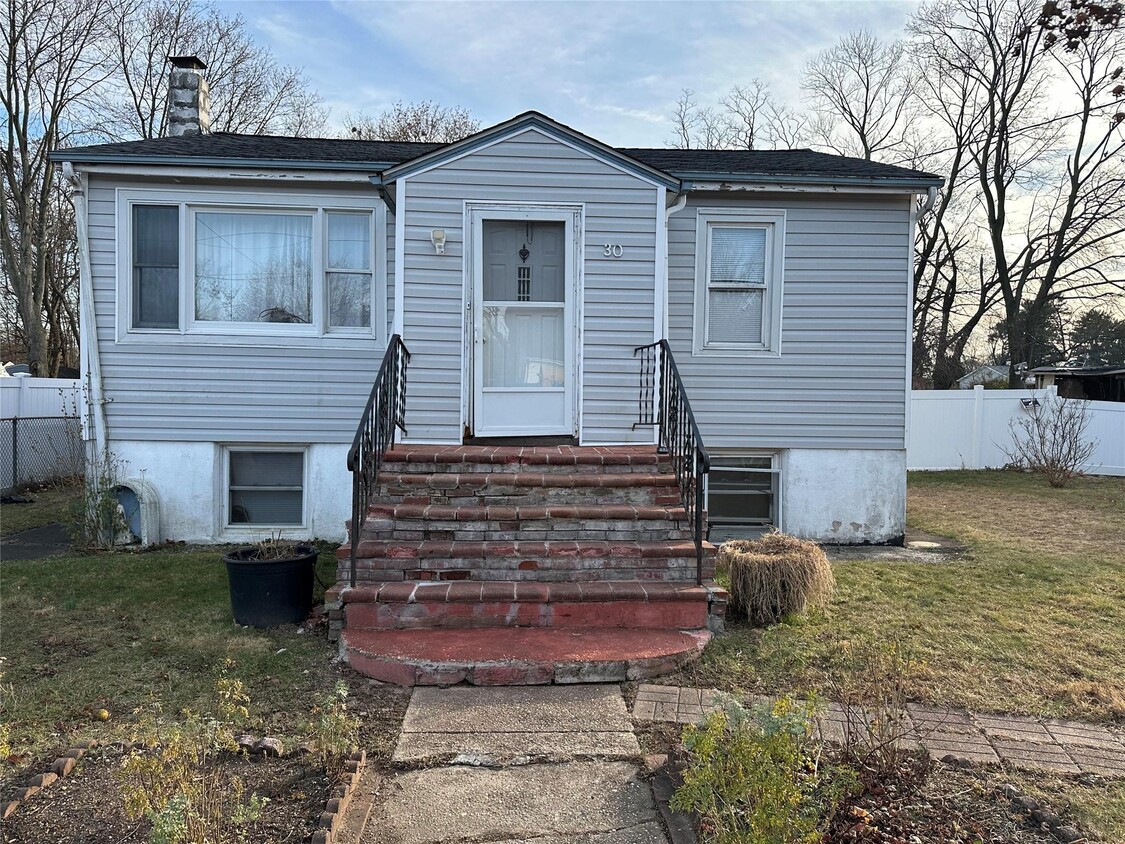
*Interior Photos Coming Soon* First Floor 2 Bedroom apartment with full bath,living room and kitchen. Landlord pays All Utilities. Based on information submitted to the MLS GRID as of [see last changed date above]. All data is obtained from various sources and may not have been verified by broker or MLS GRID. Supplied Open House Information is subject to change without notice. All information should be independently reviewed and verified for accuracy. Properties may or may not be listed by the office/agent presenting the information. Some IDX listings have been excluded from this website. Prices displayed on all Sold listings are the Last Known Listing Price and may not be the actual selling price.
Contact
Features
- Smoke Free
- Pool
Fees and Policies
The fees below are based on community-supplied data and may exclude additional fees and utilities.
 This Property
 Available Property
- Smoke Free
- Pool
Situated in the middle of Long Island, Brentwood is a relatively dense suburb with a tight-knit community atmosphere set into its neatly organized streets. Suffolk Ave. is the main street in this New York locale, lined with markets and local restaurants as well as a number of schools that serve the area. The charming houses of Brentwood spread outwards from Suffolk Ave, bounded by NY-111 to the east, Otsego Park to the west, I-495 to the north, and the Southern State Pkwy. to the south.
Brentwood is home to Suffolk County Community College, giving the area a lively energy. Brentwood’s location on the island means the beaches to the east are just as accessible as New York City to the west, making this suburb a happy medium of scenic and city living.
Learn more about living in Brentwood| Colleges & Universities | Distance | ||
|---|---|---|---|
| Colleges & Universities | Distance | ||
| Drive: | 10 min | 3.8 mi | |
| Drive: | 9 min | 4.8 mi | |
| Drive: | 21 min | 13.0 mi | |
| Drive: | 22 min | 13.4 mi |
Transportation options available in Brentwood include Jamaica-179 Street, located 33.3 miles from 30 Gates Ave. 30 Gates Ave is near Long Island MacArthur, located 8.5 miles or 16 minutes away, and John F Kennedy International, located 37.3 miles or 52 minutes away.
| Transit / Subway | Distance | ||
|---|---|---|---|
| Transit / Subway | Distance | ||
|
|
Drive: | 48 min | 33.3 mi |
|
|
Drive: | 49 min | 33.8 mi |
|
|
Drive: | 51 min | 34.8 mi |
|
|
Drive: | 51 min | 36.0 mi |
|
|
Drive: | 54 min | 37.5 mi |
| Commuter Rail | Distance | ||
|---|---|---|---|
| Commuter Rail | Distance | ||
|
|
Drive: | 5 min | 2.1 mi |
|
|
Drive: | 6 min | 3.0 mi |
|
|
Drive: | 10 min | 4.4 mi |
|
|
Drive: | 8 min | 4.9 mi |
|
|
Drive: | 12 min | 6.2 mi |
| Airports | Distance | ||
|---|---|---|---|
| Airports | Distance | ||
|
Long Island MacArthur
|
Drive: | 16 min | 8.5 mi |
|
John F Kennedy International
|
Drive: | 52 min | 37.3 mi |
Time and distance from 30 Gates Ave.
| Shopping Centers | Distance | ||
|---|---|---|---|
| Shopping Centers | Distance | ||
| Drive: | 3 min | 1.3 mi | |
| Drive: | 3 min | 1.4 mi | |
| Drive: | 4 min | 1.5 mi |
| Parks and Recreation | Distance | ||
|---|---|---|---|
| Parks and Recreation | Distance | ||
|
Blydenburgh County Park
|
Drive: | 12 min | 3.9 mi |
|
Caleb Smith State Park Preserve
|
Drive: | 10 min | 4.8 mi |
|
Lakeland County Park
|
Drive: | 10 min | 5.0 mi |
|
Sweetbriar Nature Center
|
Drive: | 13 min | 7.0 mi |
|
Connetquot River State Park Preserve
|
Drive: | 25 min | 11.7 mi |
| Hospitals | Distance | ||
|---|---|---|---|
| Hospitals | Distance | ||
| Drive: | 12 min | 6.4 mi | |
| Drive: | 12 min | 7.0 mi | |
| Drive: | 15 min | 9.7 mi |
| Military Bases | Distance | ||
|---|---|---|---|
| Military Bases | Distance | ||
| Drive: | 39 min | 21.4 mi | |
| Drive: | 48 min | 33.2 mi |
You May Also Like
Similar Rentals Nearby
What Are Walk Score®, Transit Score®, and Bike Score® Ratings?
Walk Score® measures the walkability of any address. Transit Score® measures access to public transit. Bike Score® measures the bikeability of any address.
What is a Sound Score Rating?
A Sound Score Rating aggregates noise caused by vehicle traffic, airplane traffic and local sources
