-
Monthly Rent
$2,750
-
Bedrooms
4 bd
-
Bathrooms
3.5 ba
-
Square Feet
Details

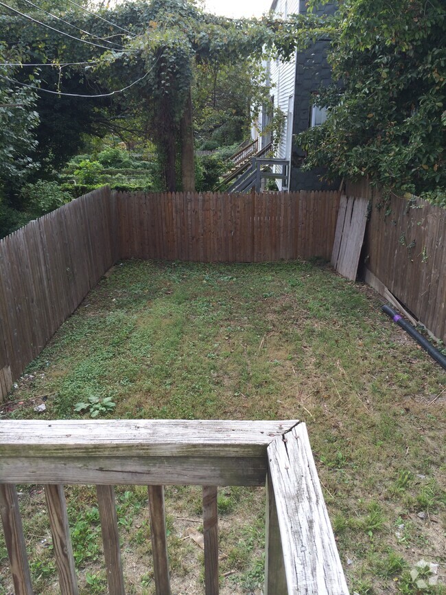
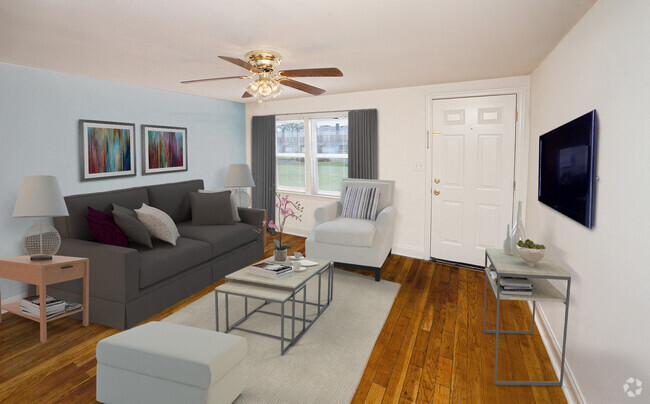
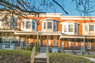
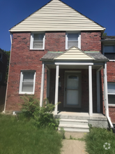
30 Wellspring Cir is a townhome located in Baltimore County and the 21117 ZIP Code. This area is served by the Baltimore County Public Schools attendance zone.
Contact
Townhome Features
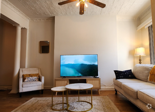
- Fireplace
- Basement
Fees and Policies
 This Property
 Available Property
- Fireplace
- Basement
Garrison is a neighborhood nestled along Interstate 795 about 15 miles north of Boston. This peaceful neighborhood is filled with green spaces, shopping centers, and quaint homes. The majority of Garrison’s neighborhoods are made up of long-standing homes, but there are a few choices of modern apartments available for rent. The northern section of town is a commercial area with chain restaurants, car dealerships, grocers, and more amenities. Outside of town, residents have access to multiple resort-like golf courses and parks including the ones surrounding Liberty Reservoir.
Learn more about living in Garrison| Colleges & Universities | Distance | ||
|---|---|---|---|
| Colleges & Universities | Distance | ||
| Drive: | 8 min | 3.1 mi | |
| Drive: | 12 min | 4.5 mi | |
| Drive: | 26 min | 9.7 mi | |
| Drive: | 21 min | 11.5 mi |
Transportation options available in Owings Mills include Old Court, located 3.8 miles from 30 Wellspring Cir. 30 Wellspring Cir is near Baltimore/Washington International Thurgood Marshall, located 18.7 miles or 31 minutes away.
| Transit / Subway | Distance | ||
|---|---|---|---|
| Transit / Subway | Distance | ||
| Drive: | 9 min | 3.8 mi | |
| Drive: | 12 min | 4.5 mi | |
| Drive: | 16 min | 5.8 mi | |
| Drive: | 11 min | 6.3 mi | |
| Drive: | 17 min | 6.4 mi |
| Commuter Rail | Distance | ||
|---|---|---|---|
| Commuter Rail | Distance | ||
|
|
Drive: | 23 min | 14.2 mi |
|
|
Drive: | 27 min | 14.4 mi |
|
|
Drive: | 26 min | 15.0 mi |
|
|
Drive: | 26 min | 15.9 mi |
|
|
Drive: | 30 min | 16.9 mi |
| Airports | Distance | ||
|---|---|---|---|
| Airports | Distance | ||
|
Baltimore/Washington International Thurgood Marshall
|
Drive: | 31 min | 18.7 mi |
Time and distance from 30 Wellspring Cir.
| Shopping Centers | Distance | ||
|---|---|---|---|
| Shopping Centers | Distance | ||
| Walk: | 11 min | 0.6 mi | |
| Walk: | 15 min | 0.8 mi | |
| Walk: | 17 min | 0.9 mi |
| Parks and Recreation | Distance | ||
|---|---|---|---|
| Parks and Recreation | Distance | ||
|
Irvine Nature Center
|
Drive: | 8 min | 3.2 mi |
|
Rodgers Farms
|
Drive: | 9 min | 3.8 mi |
|
Soldiers Delight Natural Environment Area (NEA)
|
Drive: | 15 min | 6.6 mi |
|
Cylburn Arboretum
|
Drive: | 22 min | 8.2 mi |
|
Lake Roland Park
|
Drive: | 21 min | 9.3 mi |
| Hospitals | Distance | ||
|---|---|---|---|
| Hospitals | Distance | ||
| Drive: | 11 min | 5.1 mi | |
| Drive: | 18 min | 7.4 mi | |
| Drive: | 18 min | 7.4 mi |
| Military Bases | Distance | ||
|---|---|---|---|
| Military Bases | Distance | ||
| Drive: | 45 min | 26.6 mi |
You May Also Like
Similar Rentals Nearby
-
$2,0006 Beds, 3 Baths, 1,600 sq ftTownhome for Rent
-
$4,1004 Beds, 4 Baths, 2,400 sq ftTownhome for Rent
-
-
-
-
-
$2,2004 Beds, 3.5 Baths, 1,524 sq ftTownhome for Rent
-
-
-
What Are Walk Score®, Transit Score®, and Bike Score® Ratings?
Walk Score® measures the walkability of any address. Transit Score® measures access to public transit. Bike Score® measures the bikeability of any address.
What is a Sound Score Rating?
A Sound Score Rating aggregates noise caused by vehicle traffic, airplane traffic and local sources

