
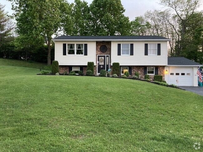
$950 / Month
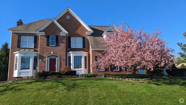
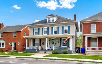
301 E High St
Shepherdstown, WV 25443
2 Weeks Ago
Favorites
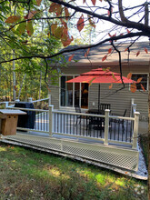
301 E High St

Favorites
Check Back Soon for Upcoming Availability
| Beds | Baths | Average SF |
|---|---|---|
| 1 Bedroom 1 Bedroom 1 Br | 1 Bath 1 Bath 1 Ba | 2,344 SF |
301 E High St is a house located in Jefferson County and the 25443 ZIP Code. This area is served by the Jefferson County Schools attendance zone.
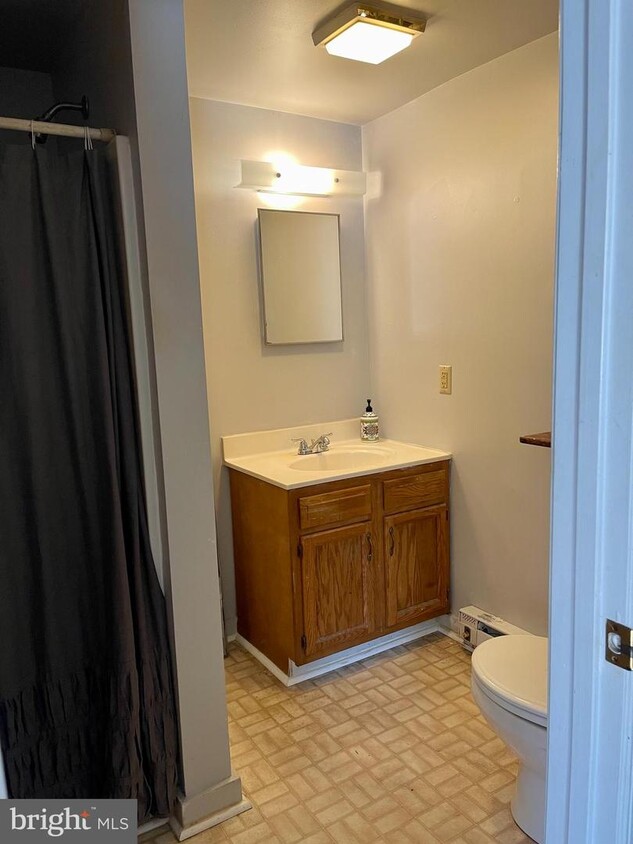
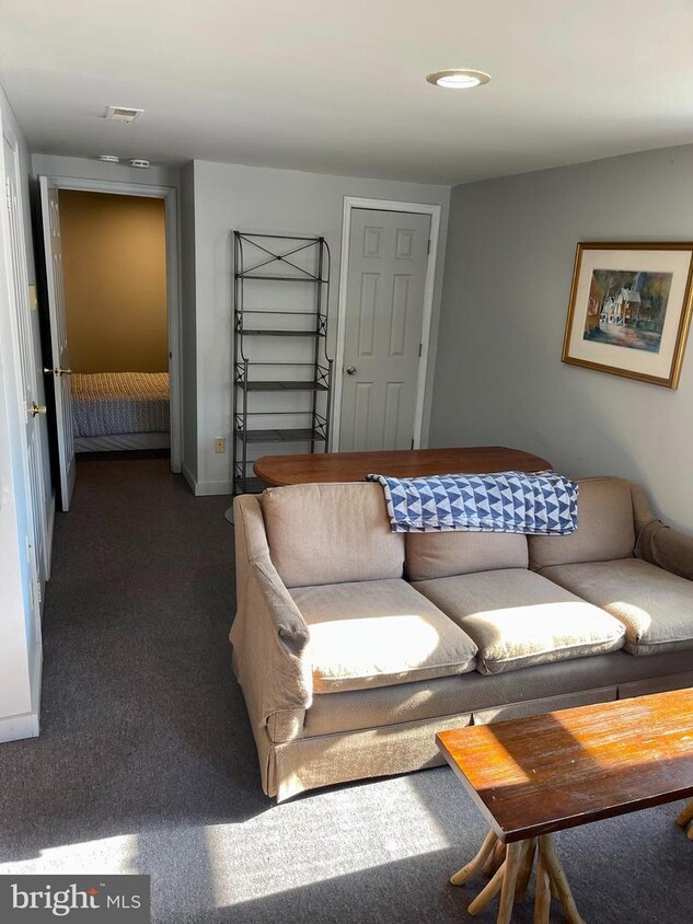
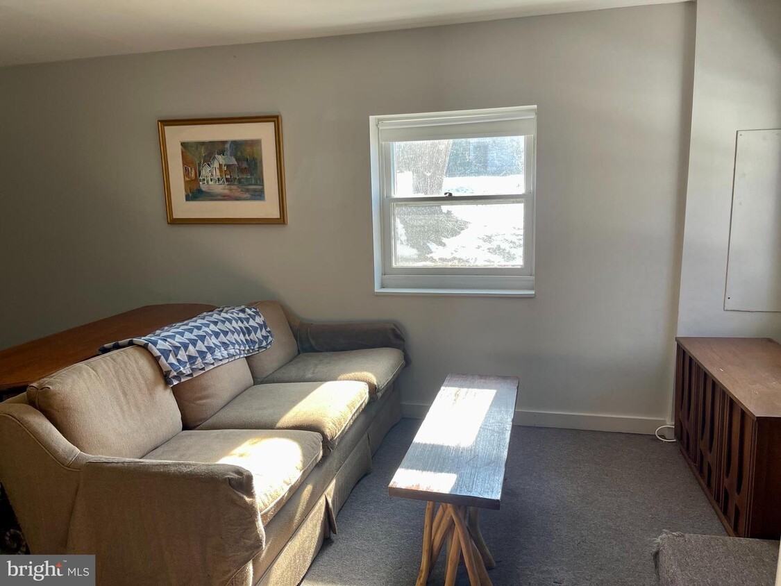
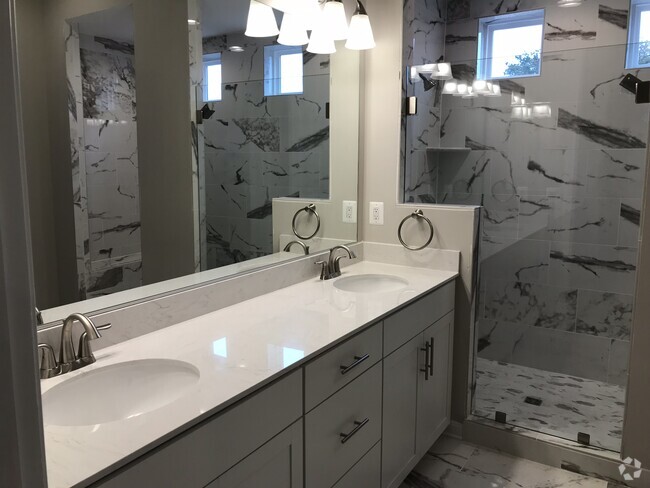
House Features
- Basement
Fees and Policies
Location
Get Directions
Situated on the Potomac River in the eastern reaches of West Virginia, Shepherdstown a petite locale that exhibits all the charm of a small town but with character in spades. This a longstanding, historic town with a characterful historic district and venerable buildings to be found along German Street. Shepherdstown’s small size makes for a tight-knit community, one that comes together for plenty of annual events and parades such as Easter, May Day, Fourth of July, and more. There are parks aplenty within Shepherdstown, including Fairfax Baseball Field.
Looking for a charming rental in a historic building? You’ll be surprised by the affordable apartments in Shepherdstown. This is a relatively secluded area, but bustling metropolitan centers are well within reach, like Frederick to the east, and Hagerstown to the north.
Learn more about living in Shepherdstown
Amenities
- Basement
Education
| Colleges & Universities | Distance | ||
|---|---|---|---|
| Colleges & Universities | Distance | ||
| Walk: | 14 min | 0.8 mi | |
| Drive: | 36 min | 21.4 mi | |
| Drive: | 44 min | 26.3 mi | |
| Drive: | 46 min | 34.6 mi |
301 E High St is within 14 minutes or 0.8 mile from Shepherd University. It is also near Hagerstown Community College and Hood College.
Schools


Public Elementary School
Grades PK-5
358 Students
Attendance Zone
Public Middle School
Grades 6-8
331 Students
Attendance Zone
Public High School
Grades 9-12
1,444 Students
Attendance Zone
Private Elementary, Middle & High School
Grades PK-12
306 Students
Nearby
Private Elementary & Middle School
Grades K-7
25 Students
Nearby
School data provided by
 The GreatSchools Rating helps parents compare schools within a state based on a variety of school quality indicators and provides a helpful picture of how effectively each school serves all of its students. Ratings are on a scale of 1 (below average) to 10 (above average) and can include test scores, college readiness, academic progress, advanced courses, equity, discipline and attendance data. We also advise parents to visit schools, consider other information on school performance and programs, and consider family needs as part of the school selection process.
View GreatSchools Rating Methodology
View GreatSchools Rating Methodology
Transportation options available in Shepherdstown include Ashburn, Silver Line Center Platform, located 47.9 miles from 301 E High St. 301 E High St is near Hagerstown Regional/Richard A Henson Field, located 22.5 miles or 38 minutes away.
| Transit / Subway | Distance | ||
|---|---|---|---|
| Transit / Subway | Distance | ||
| Drive: | 70 min | 47.9 mi |
| Commuter Rail | Distance | ||
|---|---|---|---|
| Commuter Rail | Distance | ||
|
|
Drive: | 12 min | 5.3 mi |
| Drive: | 16 min | 9.3 mi | |
|
|
Drive: | 17 min | 9.7 mi |
|
|
Drive: | 23 min | 12.8 mi |
|
|
Drive: | 32 min | 19.0 mi |
| Airports | Distance | ||
|---|---|---|---|
| Airports | Distance | ||
|
Hagerstown Regional/Richard A Henson Field
|
Drive: | 38 min | 22.5 mi |
Time and distance from 301 E High St.
| Shopping Centers | Distance | ||
|---|---|---|---|
| Shopping Centers | Distance | ||
| Drive: | 4 min | 1.3 mi | |
| Drive: | 17 min | 11.8 mi | |
| Drive: | 18 min | 11.9 mi |
301 E High St has 3 shopping centers within 11.9 miles, which is about a 18-minute drive. The miles and minutes will be for the farthest away property.
| Parks and Recreation | Distance | ||
|---|---|---|---|
| Parks and Recreation | Distance | ||
|
Antietam National Battlefield
|
Drive: | 9 min | 5.3 mi |
|
Ridgefield Farm
|
Drive: | 10 min | 5.5 mi |
|
Crystal Grottoes Caverns
|
Drive: | 14 min | 9.1 mi |
|
Appalachian National Scenic Trail
|
Drive: | 21 min | 12.1 mi |
|
Harpers Ferry National Historical Park
|
Drive: | 21 min | 12.4 mi |
301 E High St has 5 parks within 12.4 miles, including Antietam National Battlefield, Ridgefield Farm, and Crystal Grottoes Caverns.
| Hospitals | Distance | ||
|---|---|---|---|
| Hospitals | Distance | ||
| Drive: | 20 min | 13.9 mi |
301 E High St is 13.9 miles and a 20 minute drive from Jefferson Medical Center.
| Military Bases | Distance | ||
|---|---|---|---|
| Military Bases | Distance | ||
| Drive: | 45 min | 27.1 mi | |
| Drive: | 51 min | 30.5 mi |
301 E High St is 27.1 miles from Fort Detrick, and is convenient to other military bases, including Fort Ritchie.
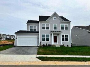
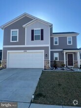
You May Also Like
Similar Rentals Nearby

What Are Walk Score®, Transit Score®, and Bike Score® Ratings?
Walk Score® measures the walkability of any address. Transit Score® measures access to public transit. Bike Score® measures the bikeability of any address.
What is a Sound Score Rating?
A Sound Score Rating aggregates noise caused by vehicle traffic, airplane traffic and local sources
301 E High St
Shepherdstown, WV 25443