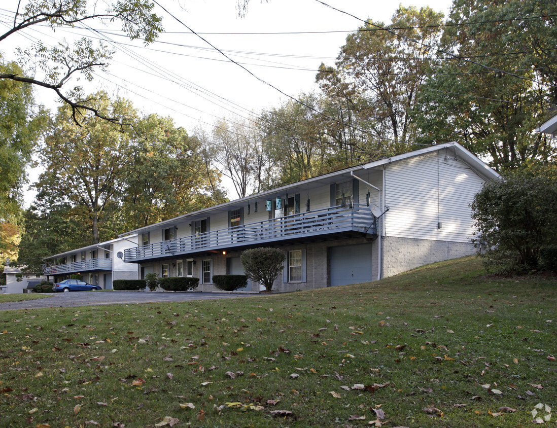
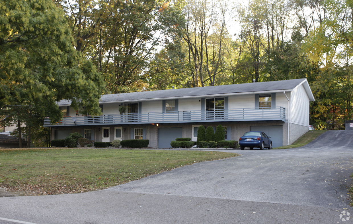
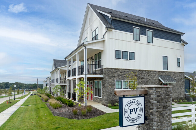
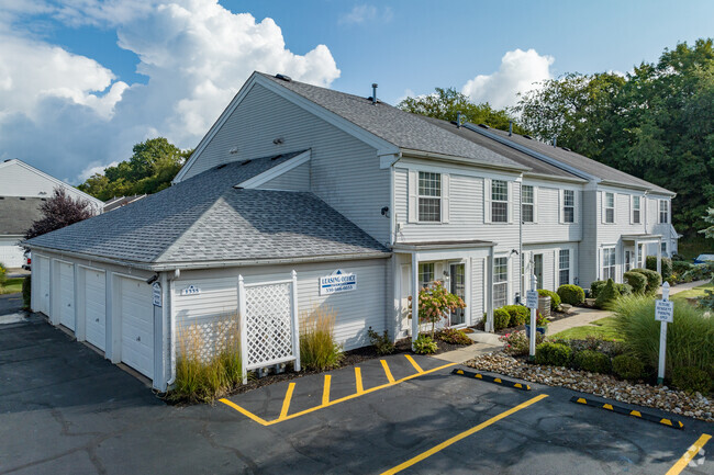
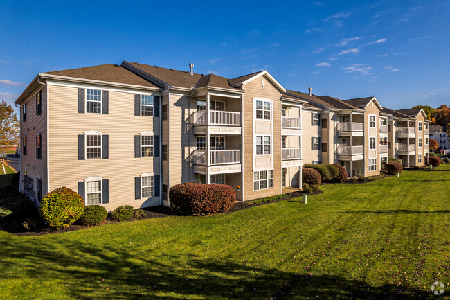
3019-3039 N Turkeyfoot Rd
3019-3039 N Turkeyfoot Rd,
Akron,
OH
44319
2 Weeks Ago
Favorites
3019-3039 N Turkeyfoot Rd
Favorites
Check Back Soon for Upcoming Availability
About 3019-3039 N Turkeyfoot Rd Akron, OH 44319
Discover your new home at 3019-3039 N Turkeyfoot Rd in Akron. This community is located in Akron on N. Turkeyfoot Rd. in the 44319 area. Be sure to check out the apartment floorplan options. The leasing team is excited to help you find the perfect place. Contact us or drop by the leasing office to schedule a tour today and see 3019-3039 N Turkeyfoot Rd.
3019-3039 N Turkeyfoot Rd is an apartment community located in Summit County and the 44319 ZIP Code. This area is served by the Coventry Local attendance zone.
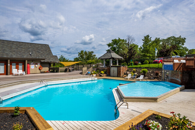
Fees and Policies
Details
Property Information
-
Built in 1971
-
9 units/2 stories
Location
Get Directions
Since the end of the 20th century, Akron has largely reinvented itself and retained its status as one of the prime cities of the Midwest. Known for years as the “Rubber Capital of the World,” Akron was once a center for technological innovation. Today, this cultural center offers all the urban conveniences of a big city like Cleveland, but in a more intimate setting.
The nearly 20,000 students at the University of Akron heavily influence the city’s culture. Between the Zips sporting events and arts community on campus, there’s a vibrant feel to the city center, not to mention the bars and restaurants that cater to such a crowd. Grades K-12 have plenty of highly-rated schooling options as well. The Plaza at Chapel Hill houses a variety of stores and shops that will delight any shopper, and the Akron Zoo is a must-see for visitors and residents alike.
Learn more about living in Akron
Education
| Colleges & Universities | Distance | ||
|---|---|---|---|
| Colleges & Universities | Distance | ||
| Drive: | 12 min | 5.7 mi | |
| Drive: | 21 min | 13.1 mi | |
| Drive: | 23 min | 13.6 mi | |
| Drive: | 25 min | 15.6 mi |
3019-3039 N Turkeyfoot Rd is within 12 minutes or 5.7 miles from University of Akron. It is also near Stark State College and Kent State University, Stark.
Schools


Public Elementary School
Grades PK-4
461 Students
Attendance Zone
Public Elementary & Middle School
Grades 5-8
479 Students
Attendance Zone
Public Elementary School
Grades 3-5
697 Students
Nearby
Public High School
Grades 9-12
557 Students
Attendance Zone
Private Elementary & Middle School
Grades PK-8
345 Students
Nearby
Private Elementary & Middle School
Grades PK-8
173 Students
Nearby
Private High School
Grades 9-12
805 Students
Nearby
School data provided by
 The GreatSchools Rating helps parents compare schools within a state based on a variety of school quality indicators and provides a helpful picture of how effectively each school serves all of its students. Ratings are on a scale of 1 (below average) to 10 (above average) and can include test scores, college readiness, academic progress, advanced courses, equity, discipline and attendance data. We also advise parents to visit schools, consider other information on school performance and programs, and consider family needs as part of the school selection process.
View GreatSchools Rating Methodology
View GreatSchools Rating Methodology
Transportation options available in Akron include Warrensville (Blue Line), located 36.1 miles from 3019-3039 N Turkeyfoot Rd. 3019-3039 N Turkeyfoot Rd is near Akron-Canton Regional, located 10.0 miles or 17 minutes away, and Cleveland-Hopkins International, located 44.2 miles or 62 minutes away.
| Transit / Subway | Distance | ||
|---|---|---|---|
| Transit / Subway | Distance | ||
|
|
Drive: | 49 min | 36.1 mi |
|
|
Drive: | 50 min | 36.6 mi |
|
|
Drive: | 51 min | 36.9 mi |
|
|
Drive: | 51 min | 37.0 mi |
|
|
Drive: | 51 min | 37.3 mi |
| Commuter Rail | Distance | ||
|---|---|---|---|
| Commuter Rail | Distance | ||
| Drive: | 15 min | 8.5 mi | |
| Drive: | 21 min | 9.5 mi | |
| Drive: | 27 min | 12.6 mi | |
| Drive: | 33 min | 16.9 mi | |
| Drive: | 32 min | 21.8 mi |
| Airports | Distance | ||
|---|---|---|---|
| Airports | Distance | ||
|
Akron-Canton Regional
|
Drive: | 17 min | 10.0 mi |
|
Cleveland-Hopkins International
|
Drive: | 62 min | 44.2 mi |
Time and distance from 3019-3039 N Turkeyfoot Rd.
| Shopping Centers | Distance | ||
|---|---|---|---|
| Shopping Centers | Distance | ||
| Walk: | 16 min | 0.9 mi | |
| Drive: | 3 min | 1.4 mi | |
| Drive: | 5 min | 2.3 mi |
3019-3039 N Turkeyfoot Rd has 3 shopping centers within 2.3 miles, which is about a 5-minute walk. The miles and minutes will be for the farthest away property.
| Parks and Recreation | Distance | ||
|---|---|---|---|
| Parks and Recreation | Distance | ||
|
Firestone Metro Park
|
Drive: | 4 min | 1.8 mi |
|
Portage Lakes State Park
|
Drive: | 15 min | 5.7 mi |
|
Akron Zoo
|
Drive: | 15 min | 6.4 mi |
|
Silver Creek Metro Park
|
Drive: | 19 min | 8.7 mi |
|
Goodyear Heights Metro Park
|
Drive: | 18 min | 9.6 mi |
3019-3039 N Turkeyfoot Rd has 5 parks within 9.6 miles, including Firestone Metro Park, Portage Lakes State Park, and Akron Zoo.
| Hospitals | Distance | ||
|---|---|---|---|
| Hospitals | Distance | ||
| Drive: | 12 min | 5.6 mi | |
| Drive: | 13 min | 5.9 mi | |
| Drive: | 12 min | 7.5 mi |
3019-3039 N Turkeyfoot Rd has 3 hospitals within 7.5 miles, the nearest is Akron Children's Hospital which is 5.6 miles away and a 12 minute drive.
| Military Bases | Distance | ||
|---|---|---|---|
| Military Bases | Distance | ||
| Drive: | 80 min | 64.4 mi |
3019-3039 N Turkeyfoot Rd is 64.4 miles and a 80 minute drive from Mansfield Lahm Airport Air Guard Station.
You May Also Like
Similar Rentals Nearby


What Are Walk Score®, Transit Score®, and Bike Score® Ratings?
Walk Score® measures the walkability of any address. Transit Score® measures access to public transit. Bike Score® measures the bikeability of any address.
What is a Sound Score Rating?
A Sound Score Rating aggregates noise caused by vehicle traffic, airplane traffic and local sources
Responded To This Review