
$1,700 / Month
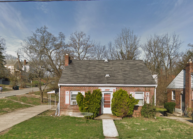
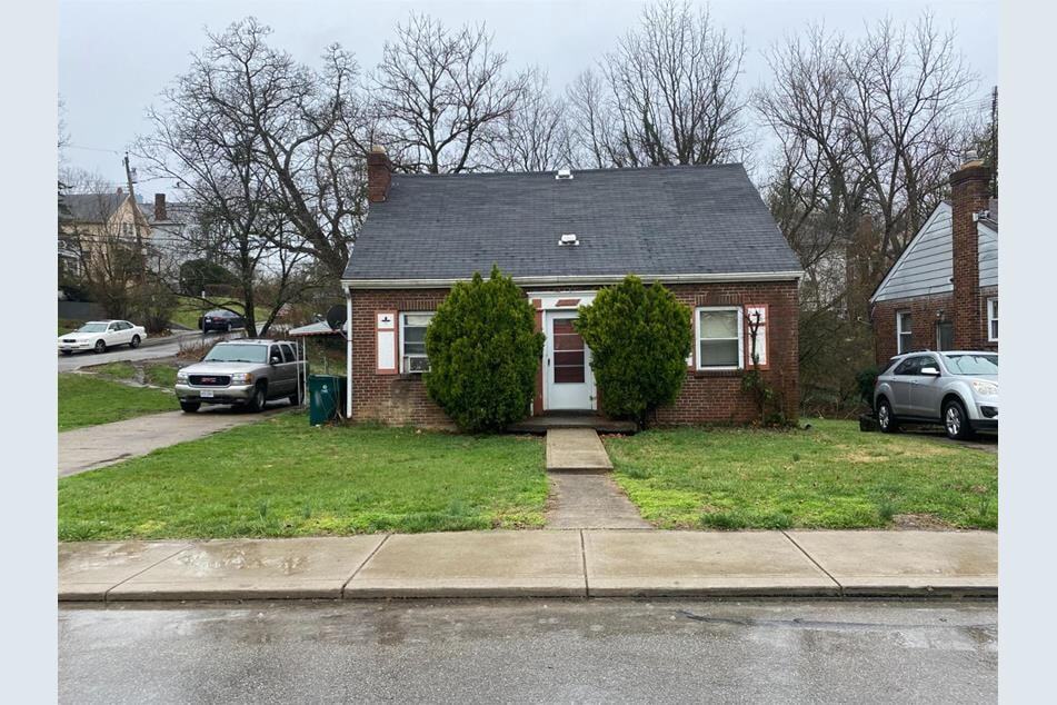
3037 Worthington Ave
Cincinnati, OH 45211
1 Week Ago
Favorites
513-650-6507
-
Bedrooms
4
-
Bathrooms
1
-
Square Feet
1,200 sq ft
-
Available
Available Now
Highlights
- Pets Allowed
- Yard
3037 Worthington Ave

Favorites
About This Home
12 Month Lease,
$1,700 deposit,
Available Now
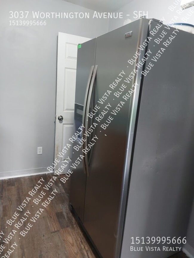
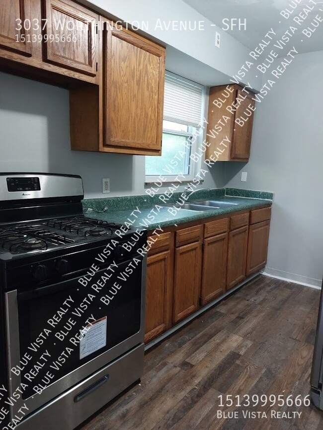
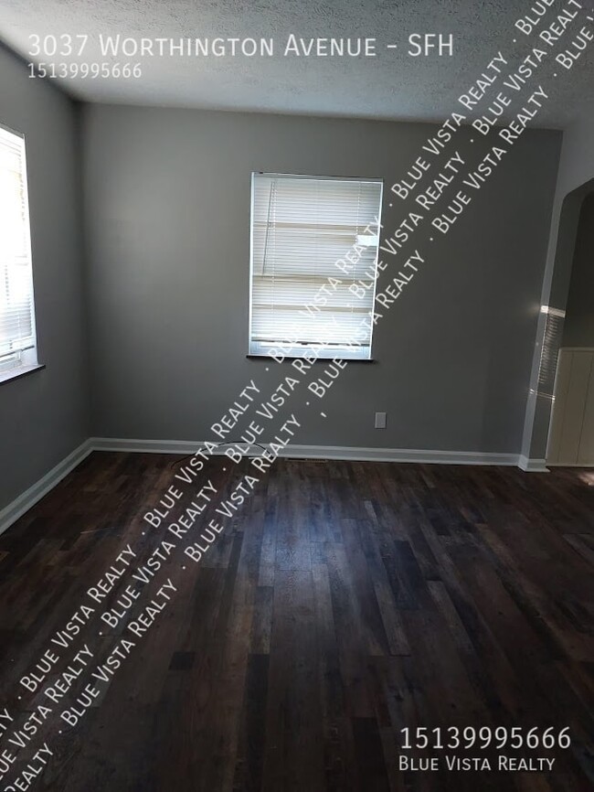
This 4-bedroom, 2-bathroom home at 3037 Worthington Ave offers 1,200 square feet of living space. The living room provides ample room for relaxation and features ceiling fans for comfort. The kitchen is functional and connects to the dining area, making it convenient for meal preparation and entertaining. Each bedroom is designed for privacy and comfort, with sufficient closet space. The bathrooms include a tub/shower combination for versatile bathing options. The property is equipped with heating to ensure a comfortable environment year-round. The exterior features a manageable yard, suitable for outdoor activities.
3037 Worthington Ave is a house located in Hamilton County and the 45211 ZIP Code.
* Price shown is base rent and may not include non-optional fees and utilities.
Price, availability, fees, and any applicable rent special are subject to change without notice.
* Square footage definitions vary. Displayed square footage is approximate.
House Features
Tub/Shower
Ceiling Fans
Heating
Dining Room
- Heating
- Ceiling Fans
- Tub/Shower
- Kitchen
- Dining Room
- Yard
Contact
- Listed by Blue Vista
- Phone Number
- Contact
$1,155 / month
$210,000 Listing Price
4 Beds
•2 Baths
•
1,500 Sq Ft
$873 / month
$114,900 Listing Price
4 Beds
•2 Baths
•
1,683 Sq Ft
$1,426 / month
$220,000 Listing Price
4 Beds
•2 Baths
•
1,408 Sq Ft
Location
Get Directions
Situated about five miles northwest of Downtown Cincinnati, Westwood is the largest neighborhood in the city. Residents flock to Westwood for its many affordable historic homes and modern apartments available for rent in addition to its close proximity to I-74, I-75, and all that Downtown Cincinnati has to offer.
While Westwood is a predominantly residential neighborhood, it is also home to a slew of convenient stores and restaurants. Shopping opportunities abound in Westwood, with plenty of national retailers in Western Hills Plaza and local shops in the growing Town Hall District. Numerous neighborhood parks provide ample space to enjoy the outdoors in town as well as the sprawling 1,400-acre Mount Airy Forest, which is partially located in Westwood.
Learn more about living in Westwood
Amenities
- Heating
- Ceiling Fans
- Tub/Shower
- Kitchen
- Dining Room
- Yard
3037 Worthington Ave Photos
What Are Walk Score®, Transit Score®, and Bike Score® Ratings?
Walk Score® measures the walkability of any address. Transit Score® measures access to public transit. Bike Score® measures the bikeability of any address.
What is a Sound Score Rating?
A Sound Score Rating aggregates noise caused by vehicle traffic, airplane traffic and local sources
3037 Worthington Ave
Cincinnati, OH 45211