$995 / Month
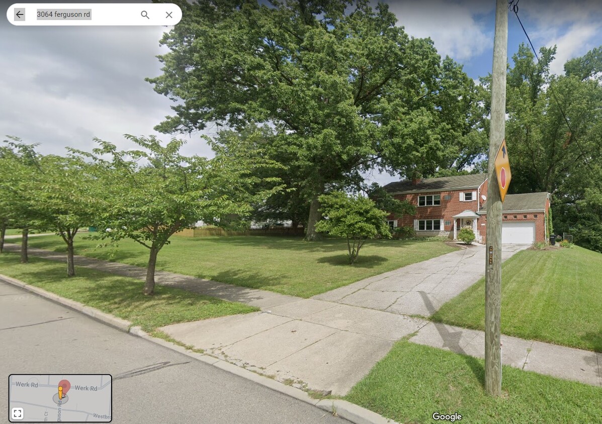
3064 Ferguson Rd Unit Utilities incl Top Floor
Cincinnati, OH 45238
2 Weeks Ago
Favorites
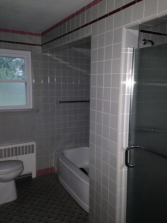
3064 Ferguson Rd Unit Utilities incl Top Floor

Favorites
Check Back Soon for Upcoming Availability
| Beds | Baths | Average SF |
|---|---|---|
| 2 Bedrooms 2 Bedrooms 2 Br | 1 Bath 1 Bath 1 Ba | 1,330 SF |
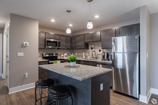
About This Property
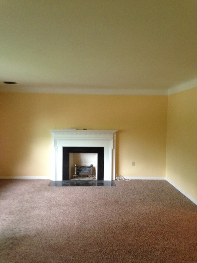
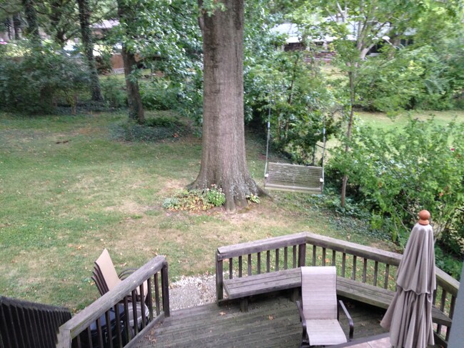
Large Rooms & yard. Garage parking for 1 car. Great Spring and Fall breezes due to mature oak trees that shade the property. Tons of free storage in the basement.
3064 Ferguson Rd is an apartment community located in Hamilton County and the 45238 ZIP Code.
Apartment Features
Air Conditioning
Dishwasher
Washer/Dryer Hookup
Refrigerator
- Washer/Dryer Hookup
- Air Conditioning
- Smoke Free
- Storage Space
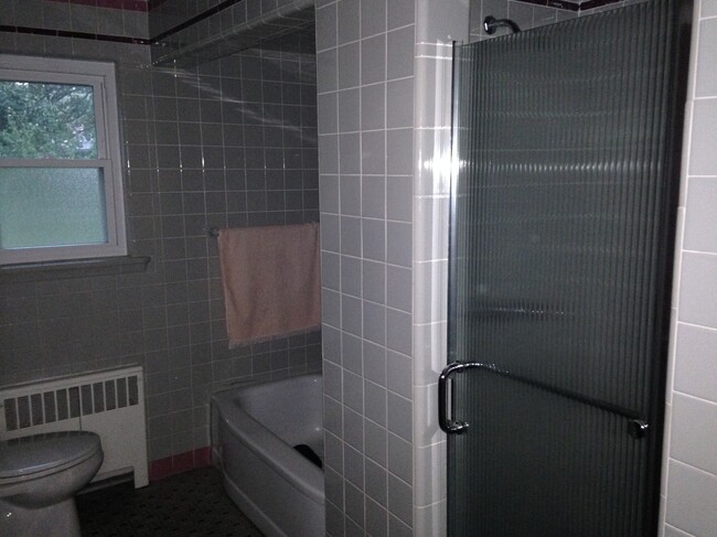
- Tub/Shower
- Fireplace
- Dishwasher
- Kitchen
- Oven
- Range
- Refrigerator
- Dining Room
- Family Room
- Basement
- Large Bedrooms
- Balcony
- Yard
Fees and Policies
The fees below are based on community-supplied data and may exclude additional fees and utilities.
- Cats Allowed
-
Fees not specified
-
Weight limit--
-
Pet Limit--
- Parking
-
Garage--
Details
Utilities Included
-
Trash Removal
Property Information
-
2 units
Location
Get Directions
Situated about five miles northwest of Downtown Cincinnati, Westwood is the largest neighborhood in the city. Residents flock to Westwood for its many affordable historic homes and modern apartments available for rent in addition to its close proximity to I-74, I-75, and all that Downtown Cincinnati has to offer.
While Westwood is a predominantly residential neighborhood, it is also home to a slew of convenient stores and restaurants. Shopping opportunities abound in Westwood, with plenty of national retailers in Western Hills Plaza and local shops in the growing Town Hall District. Numerous neighborhood parks provide ample space to enjoy the outdoors in town as well as the sprawling 1,400-acre Mount Airy Forest, which is partially located in Westwood.
Learn more about living in WestwoodBelow are rent ranges for similar nearby apartments
| Beds | Average Size | Lowest | Typical | Premium |
|---|---|---|---|---|
| Studio Studio Studio | 438 Sq Ft | $695 | $745 | $795 |
| 1 Bed 1 Bed 1 Bed | 634-642 Sq Ft | $600 | $835 | $1,300 |
| 2 Beds 2 Beds 2 Beds | 840-842 Sq Ft | $775 | $1,130 | $1,665 |
| 3 Beds 3 Beds 3 Beds | 1407-1411 Sq Ft | $1,250 | $1,624 | $2,150 |
| 4 Beds 4 Beds 4 Beds | 1586 Sq Ft | $1,515 | $1,809 | $2,350 |
Amenities
- Washer/Dryer Hookup
- Air Conditioning
- Smoke Free
- Storage Space
- Tub/Shower
- Fireplace
- Dishwasher
- Kitchen
- Oven
- Range
- Refrigerator
- Dining Room
- Family Room
- Basement
- Large Bedrooms
- Balcony
- Yard
Expenses
Utilities Included
Trash Removal
Included
Education
| Colleges & Universities | Distance | ||
|---|---|---|---|
| Colleges & Universities | Distance | ||
| Drive: | 11 min | 5.0 mi | |
| Drive: | 15 min | 5.4 mi | |
| Drive: | 13 min | 5.7 mi | |
| Drive: | 15 min | 6.1 mi |
3064 Ferguson Rd Unit Utilities incl Top Floor is within 11 minutes or 5.0 miles from College of Mount St. Joseph. It is also near Cincinnati State and University of Cincinnati.
Transportation options available in Cincinnati include Brewery District Station, Elm & Henry, located 5.2 miles from 3064 Ferguson Rd Unit Utilities incl Top Floor. 3064 Ferguson Rd Unit Utilities incl Top Floor is near Cincinnati/Northern Kentucky International, located 19.5 miles or 37 minutes away.
| Transit / Subway | Distance | ||
|---|---|---|---|
| Transit / Subway | Distance | ||
| Drive: | 12 min | 5.2 mi | |
| Drive: | 12 min | 5.4 mi | |
| Drive: | 13 min | 5.4 mi | |
| Drive: | 13 min | 5.5 mi | |
| Drive: | 13 min | 5.7 mi |
| Commuter Rail | Distance | ||
|---|---|---|---|
| Commuter Rail | Distance | ||
|
|
Drive: | 12 min | 5.4 mi |
| Airports | Distance | ||
|---|---|---|---|
| Airports | Distance | ||
|
Cincinnati/Northern Kentucky International
|
Drive: | 37 min | 19.5 mi |
Time and distance from 3064 Ferguson Rd Unit Utilities incl Top Floor.
| Shopping Centers | Distance | ||
|---|---|---|---|
| Shopping Centers | Distance | ||
| Walk: | 17 min | 0.9 mi | |
| Drive: | 3 min | 1.2 mi | |
| Drive: | 3 min | 1.4 mi |
3064 Ferguson Rd Unit Utilities incl Top Floor has 3 shopping centers within 1.4 miles, which is about a 3-minute walk. The miles and minutes will be for the farthest away property.
| Parks and Recreation | Distance | ||
|---|---|---|---|
| Parks and Recreation | Distance | ||
|
Imago Earth Center
|
Drive: | 9 min | 3.7 mi |
|
Mt. Airy Forest
|
Drive: | 9 min | 3.7 mi |
|
Embshoff Woods
|
Drive: | 12 min | 4.2 mi |
|
Wilson Commons
|
Drive: | 12 min | 4.4 mi |
|
Cincinnati History Museum
|
Drive: | 12 min | 5.4 mi |
3064 Ferguson Rd Unit Utilities incl Top Floor has 5 parks within 5.4 miles, including Imago Earth Center, Mt. Airy Forest, and Embshoff Woods.
| Hospitals | Distance | ||
|---|---|---|---|
| Hospitals | Distance | ||
| Drive: | 9 min | 3.8 mi | |
| Drive: | 12 min | 4.9 mi | |
| Drive: | 15 min | 6.2 mi |
3064 Ferguson Rd Unit Utilities incl Top Floor has 3 hospitals within 6.2 miles, the nearest is Mercy Health - West Hospital which is 3.8 miles away and a 9 minute drive.
| Military Bases | Distance | ||
|---|---|---|---|
| Military Bases | Distance | ||
| Drive: | 75 min | 55.9 mi | |
| Drive: | 81 min | 60.9 mi | |
| Drive: | 83 min | 64.2 mi |
3064 Ferguson Rd Unit Utilities incl Top Floor has 3 military bases within 64.2 miles, the nearest is Gentile Air Force Station which is 55.9 miles away and a 75 minute drive.
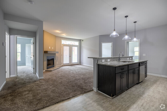
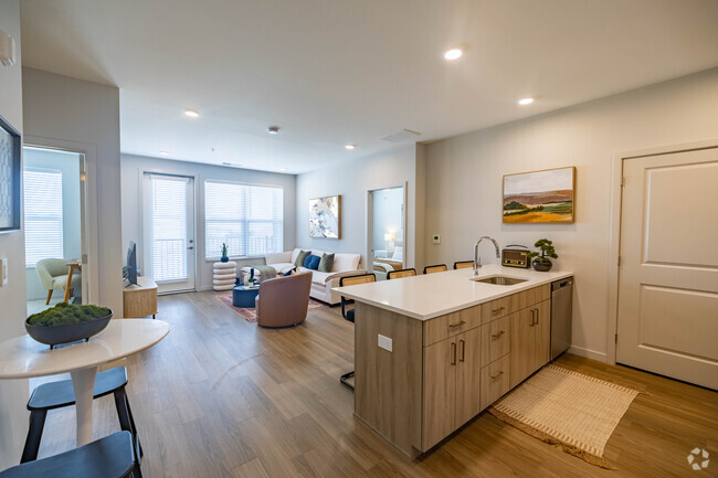
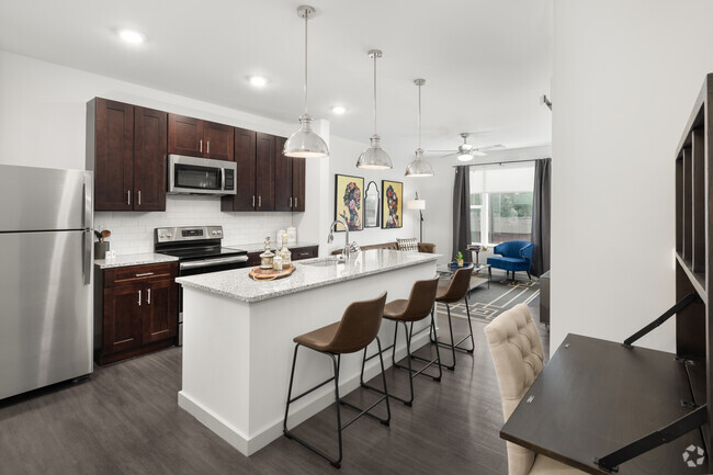
You May Also Like
Similar Rentals Nearby


What Are Walk Score®, Transit Score®, and Bike Score® Ratings?
Walk Score® measures the walkability of any address. Transit Score® measures access to public transit. Bike Score® measures the bikeability of any address.
What is a Sound Score Rating?
A Sound Score Rating aggregates noise caused by vehicle traffic, airplane traffic and local sources

3064 Ferguson Rd
Cincinnati, OH 45238