$1,900 / Month
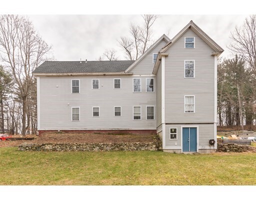
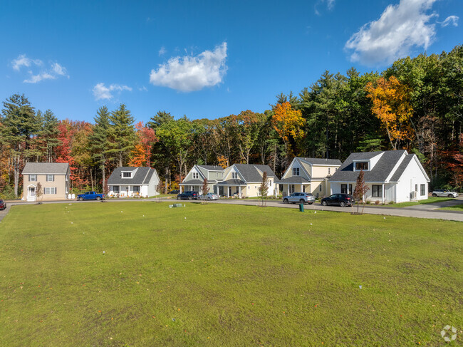
31 High St Unit 2
Pepperell, MA 01463
2 Weeks Ago
Favorites
31 High St Unit 2

Favorites
Check Back Soon for Upcoming Availability
| Beds | Baths | Average SF |
|---|---|---|
| 2 Bedrooms 2 Bedrooms 2 Br | 1 Bath 1 Bath 1 Ba | 1,450 SF |
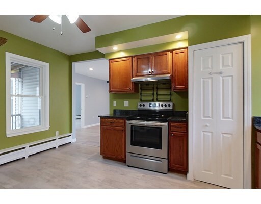
About This Property
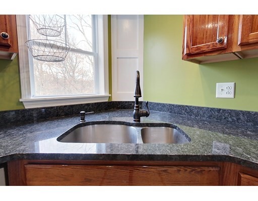
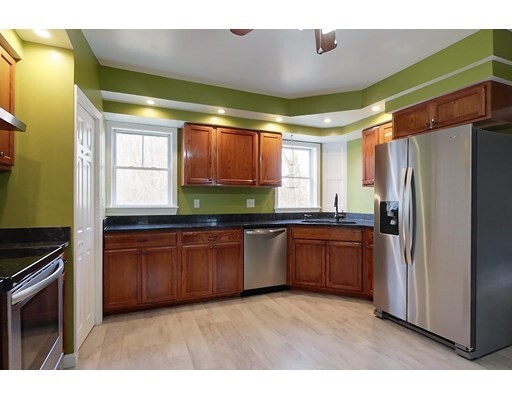
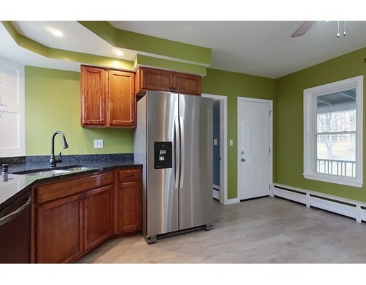
Second floor unit now available for rent! Great intown location close to restaurants, local shops, Nashua River Rail Trail and NH line. A spacious Living Room is the center of this unit leading to a large Kitchen with a closet usable for storage/pantry, 2 Bedrooms and an additional room that could be used as third bedroom or office (no closet), Full Bath and a bay window accented Bedroom allowing for ample sunlight. Enjoy just under a ¾ acre of shared exterior space. Rent Fee Includes: Water, Sewerage Disposal, Grounds Maintenance. No pets allowed.
31 High St is an apartment community located in Middlesex County and the 01463 ZIP Code.
Features
- Dishwasher
- Range
- Refrigerator
- Tennis Court
- Walking/Biking Trails
Fees and Policies
The fees below are based on community-supplied data and may exclude additional fees and utilities.
Details
Utilities Included
-
Water
-
Sewer
Location
Get Directions
Below are rent ranges for similar nearby apartments
Amenities
- Dishwasher
- Range
- Refrigerator
- Tennis Court
- Walking/Biking Trails
Expenses
Utilities Included
Water, Sewer
Included
Education
| Colleges & Universities | Distance | ||
|---|---|---|---|
| Colleges & Universities | Distance | ||
| Drive: | 23 min | 11.5 mi | |
| Drive: | 30 min | 15.4 mi | |
| Drive: | 31 min | 15.8 mi | |
| Drive: | 34 min | 17.0 mi |
31 High St Unit 2 is within 23 minutes or 11.5 miles from Rivier College. It is also near Fitchburg State University and UMass Lowell.
Transportation options available in Pepperell include Alewife Station, located 34.4 miles from 31 High St Unit 2. 31 High St Unit 2 is near Manchester Boston Regional, located 23.6 miles or 41 minutes away, and Worcester Regional, located 46.0 miles or 68 minutes away.
| Transit / Subway | Distance | ||
|---|---|---|---|
| Transit / Subway | Distance | ||
|
|
Drive: | 57 min | 34.4 mi |
|
|
Drive: | 60 min | 35.6 mi |
|
|
Drive: | 60 min | 35.9 mi |
| Drive: | 60 min | 36.5 mi | |
|
|
Drive: | 62 min | 36.6 mi |
| Commuter Rail | Distance | ||
|---|---|---|---|
| Commuter Rail | Distance | ||
|
|
Drive: | 18 min | 9.6 mi |
|
|
Drive: | 23 min | 12.3 mi |
|
|
Drive: | 33 min | 16.0 mi |
|
|
Drive: | 28 min | 16.1 mi |
|
|
Drive: | 34 min | 16.2 mi |
| Airports | Distance | ||
|---|---|---|---|
| Airports | Distance | ||
|
Manchester Boston Regional
|
Drive: | 41 min | 23.6 mi |
|
Worcester Regional
|
Drive: | 68 min | 46.0 mi |
Time and distance from 31 High St Unit 2.
| Shopping Centers | Distance | ||
|---|---|---|---|
| Shopping Centers | Distance | ||
| Drive: | 8 min | 4.6 mi | |
| Drive: | 12 min | 5.2 mi | |
| Drive: | 14 min | 6.2 mi |
31 High St Unit 2 has 3 shopping centers within 6.2 miles, which is about a 14-minute drive. The miles and minutes will be for the farthest away property.
| Parks and Recreation | Distance | ||
|---|---|---|---|
| Parks and Recreation | Distance | ||
|
Nashua River Rail Trail
|
Drive: | 7 min | 2.7 mi |
|
Beaver Brook Association
|
Drive: | 14 min | 5.2 mi |
|
Silver Lake State Park
|
Drive: | 16 min | 7.4 mi |
|
The Butterfly Place
|
Drive: | 21 min | 9.7 mi |
|
MIT Haystack Observatory
|
Drive: | 23 min | 10.9 mi |
31 High St Unit 2 has 5 parks within 10.9 miles, including Nashua River Rail Trail, Beaver Brook Association, and Silver Lake State Park.
| Hospitals | Distance | ||
|---|---|---|---|
| Hospitals | Distance | ||
| Drive: | 16 min | 8.0 mi | |
| Drive: | 19 min | 9.0 mi | |
| Drive: | 22 min | 10.1 mi |
31 High St Unit 2 has 3 hospitals within 10.1 miles, the nearest is Nashoba Valley Medical Center which is 8.0 miles away and a 16 minute drive.
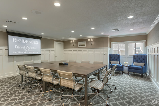
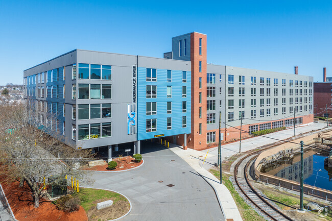
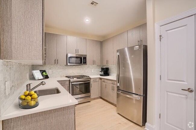
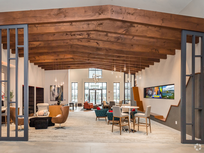
You May Also Like
Similar Rentals Nearby


What Are Walk Score®, Transit Score®, and Bike Score® Ratings?
Walk Score® measures the walkability of any address. Transit Score® measures access to public transit. Bike Score® measures the bikeability of any address.
What is a Sound Score Rating?
A Sound Score Rating aggregates noise caused by vehicle traffic, airplane traffic and local sources

31 High St
Pepperell, MA 01463