
$2,795 / Month
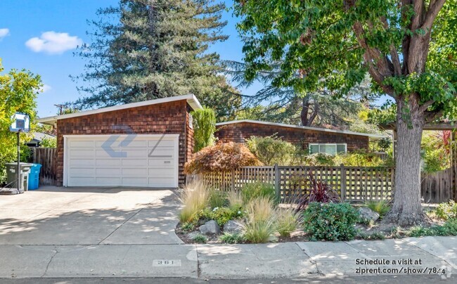
312 Laurel Ave
South San Francisco, CA 94080
2 Weeks Ago
Favorites
312 Laurel Ave

Favorites
Check Back Soon for Upcoming Availability
| Beds | Baths | Average SF |
|---|---|---|
| 2 Bedrooms 2 Bedrooms 2 Br | 1 Bath 1 Bath 1 Ba | — |
About This Property
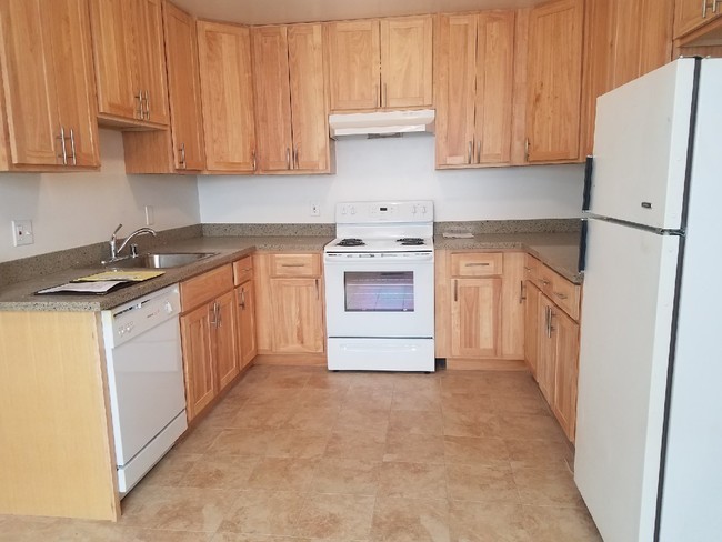
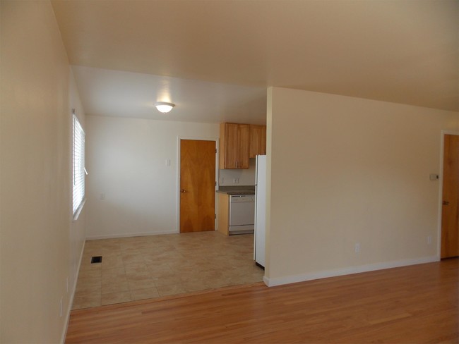
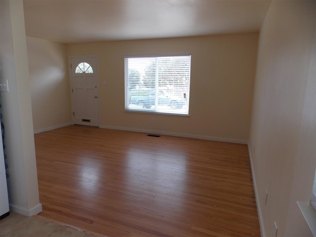
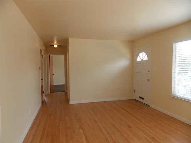
312 Laurel This unit has been recently updated throughout. Large bedrooms with good closet space, Eat-in kitchen with Gas Stove, Dishwasher, Hardwood in living room, Double Pane Windows, and Washer and Dryer. Private parking included. Great location as it is nestled between Parkway Heights Middle School and Orange Memorial Park. Grocery shopping, Bart and Cal-Train are minutes away. The Owner is open to pets. Please prepare a Pet Resume for each pet. To view by appointment, please call Brick and Mortar at 628 200-1080 For information on other listings, please visit our website at www.brickandmortarsf.com No fee agent. THIS IS A SMOKE-FREE UNIT CalBRE# 01976013 Near Serramonte Center
312 Laurel Ave is a house located in San Mateo County and the 94080 ZIP Code. This area is served by the South San Francisco Unified attendance zone.
Location
Get Directions
Downtown South San Francisco mixes a small-town feel with urban appeal. Walk down Grand Avenue and you’ll find rows of hip boutiques, diverse eateries, and cozy cafes in classic brick buildings. Outside of Grand Avenue, and a stretch of Linden Avenue, Downtown South San Francisco is mostly residential. Renters have their pick of numerous apartments, condos, and houses in the neighborhood.
A host of area parks and trails offer abundant opportunities to enjoy nature without having to sacrifice the convenience of living downtown. The neighborhood is proximate to the Bayshore Freeway, South San Francisco Caltrain Station, and San Francisco International Airport, connecting Downtown South San Francisco to the rest of the Bay Area and beyond.
Learn more about living in Downtown South San FranciscoBelow are rent ranges for similar nearby apartments
Education
| Colleges & Universities | Distance | ||
|---|---|---|---|
| Colleges & Universities | Distance | ||
| Drive: | 10 min | 4.4 mi | |
| Drive: | 14 min | 7.4 mi | |
| Drive: | 14 min | 7.8 mi | |
| Drive: | 20 min | 10.0 mi |
312 Laurel Ave is within 10 minutes or 4.4 miles from Skyline College. It is also near City College of San Francisco and San Francisco State University.
Schools


Public Elementary School
Grades K-5
Nearby
Public Elementary School
Grades K-5
408 Students
Attendance Zone
Public Middle School
Grades 6-8
612 Students
Attendance Zone
Public High School
Grades 9-12
1,280 Students
Attendance Zone
Private Elementary & Middle School
Grades PK-8
129 Students
Nearby
Private Elementary, Middle & High School
Grades 1-12
17 Students
Nearby
Private Elementary & Middle School
Grades K-8
Nearby
School data provided by
 The GreatSchools Rating helps parents compare schools within a state based on a variety of school quality indicators and provides a helpful picture of how effectively each school serves all of its students. Ratings are on a scale of 1 (below average) to 10 (above average) and can include test scores, college readiness, academic progress, advanced courses, equity, discipline and attendance data. We also advise parents to visit schools, consider other information on school performance and programs, and consider family needs as part of the school selection process.
View GreatSchools Rating Methodology
View GreatSchools Rating Methodology
Transportation options available in South San Francisco include South San Francisco Station, located 1.5 miles from 312 Laurel Ave. 312 Laurel Ave is near San Francisco International, located 5.0 miles or 11 minutes away, and Metro Oakland International, located 29.4 miles or 43 minutes away.
| Transit / Subway | Distance | ||
|---|---|---|---|
| Transit / Subway | Distance | ||
|
|
Drive: | 4 min | 1.5 mi |
|
|
Drive: | 6 min | 2.3 mi |
| Drive: | 7 min | 2.9 mi | |
|
|
Drive: | 7 min | 3.6 mi |
|
|
Drive: | 8 min | 3.7 mi |
| Commuter Rail | Distance | ||
|---|---|---|---|
| Commuter Rail | Distance | ||
| Drive: | 4 min | 1.8 mi | |
| Drive: | 6 min | 3.1 mi | |
| Drive: | 10 min | 5.9 mi | |
| Drive: | 11 min | 6.2 mi | |
| Drive: | 11 min | 6.9 mi |
| Airports | Distance | ||
|---|---|---|---|
| Airports | Distance | ||
|
San Francisco International
|
Drive: | 11 min | 5.0 mi |
|
Metro Oakland International
|
Drive: | 43 min | 29.4 mi |
Time and distance from 312 Laurel Ave.
| Shopping Centers | Distance | ||
|---|---|---|---|
| Shopping Centers | Distance | ||
| Walk: | 12 min | 0.6 mi | |
| Walk: | 13 min | 0.7 mi | |
| Drive: | 3 min | 1.2 mi |
312 Laurel Ave has 3 shopping centers within 1.2 miles, which is about a 3-minute walk. The miles and minutes will be for the farthest away property.
| Parks and Recreation | Distance | ||
|---|---|---|---|
| Parks and Recreation | Distance | ||
|
Candlestick Point State Recreation Area
|
Drive: | 14 min | 7.1 mi |
|
Pacifica State Beach
|
Drive: | 14 min | 7.4 mi |
|
San Bruno Mountain State Park
|
Drive: | 18 min | 7.8 mi |
|
San Francisco State Univ. Observatory
|
Drive: | 15 min | 8.1 mi |
|
Charles F. Hagar Planetarium
|
Drive: | 15 min | 8.1 mi |
312 Laurel Ave has 5 parks within 8.1 miles, including San Bruno Mountain State Park, San Francisco State Univ. Observatory, and Charles F. Hagar Planetarium.
| Hospitals | Distance | ||
|---|---|---|---|
| Hospitals | Distance | ||
| Walk: | 17 min | 0.9 mi | |
| Drive: | 8 min | 3.9 mi | |
| Drive: | 10 min | 6.1 mi |
312 Laurel Ave has 3 hospitals within 6.1 miles, the nearest is Kaiser Foundation Hospital - South San Francisco which is 0.9 mile away and a 17 minute walk.
| Military Bases | Distance | ||
|---|---|---|---|
| Military Bases | Distance | ||
| Drive: | 27 min | 12.0 mi | |
| Drive: | 27 min | 12.6 mi |
312 Laurel Ave is 12.0 miles from East Fort Miley, and is convenient to other military bases, including West Fort Miley.
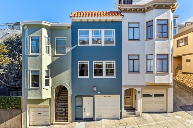
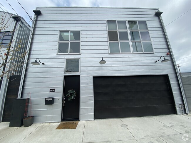
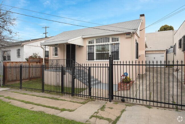
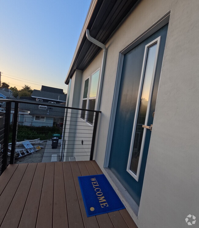
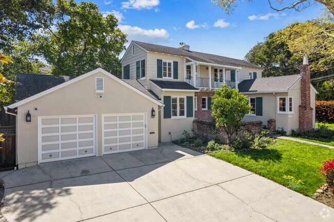
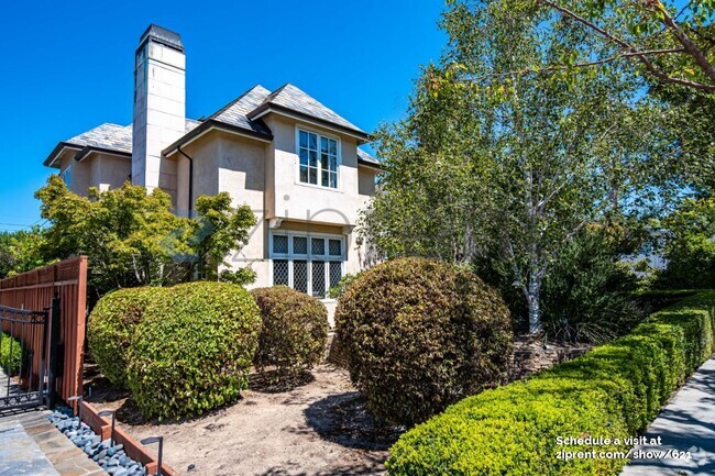
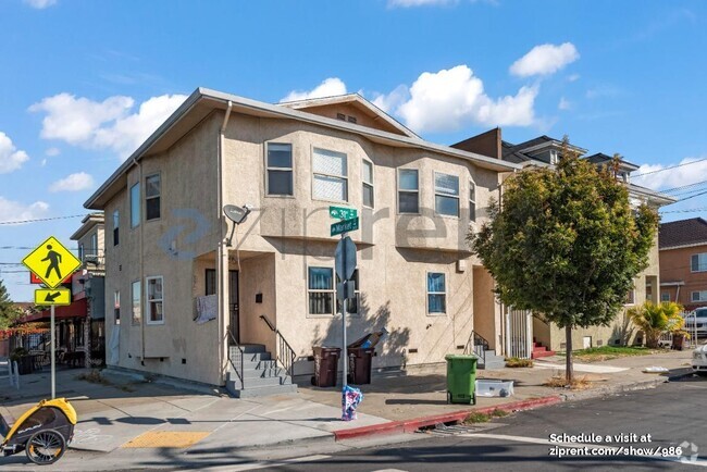
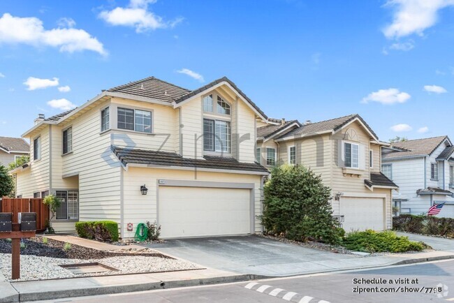
You May Also Like
Similar Rentals Nearby

What Are Walk Score®, Transit Score®, and Bike Score® Ratings?
Walk Score® measures the walkability of any address. Transit Score® measures access to public transit. Bike Score® measures the bikeability of any address.
What is a Sound Score Rating?
A Sound Score Rating aggregates noise caused by vehicle traffic, airplane traffic and local sources
312 Laurel Ave
South San Francisco, CA 94080