
$925 / Month
3186 Saffer St Unit 3
Cincinnati, OH 45211
Today
Favorites
513-275-1510
-
Bedrooms
2
-
Bathrooms
1
-
Square Feet
--
-
Available
Available Now
3186 Saffer St Unit 3

Favorites
3186 Saffer St is an apartment community located in Hamilton County and the 45211 ZIP Code.
* Price shown is base rent and may not include non-optional fees and utilities.
Price, availability, fees, and any applicable rent special are subject to change without notice.
* Square footage definitions vary. Displayed square footage is approximate.
Features
- Dishwasher
Contact
- Listed by Your New Home Delaware, LLC | Your New Home Delaware, LLC
- Phone Number
- Contact
Location
Get Directions
Amenities
- Dishwasher
East Westwood is a small but popular neighborhood roughly six miles northwest of Downtown Cincinnati. It is close to everything you love about the city – the Cincinnati Zoo and Botanical Garden, the University of Cincinnati, and the Duke Energy Convention Center – while still providing a somewhat quieter place to call home. East Westwood is directly south of Interstate 74, making this area popular with commuters. The vast Mt. Airy Forest borders East Westwood on its north end, providing a fantastic back yard filled with hiking trails, a disc golf course, a dog park, the Maple Ridge Lodge, and the Unnewehr House. Single-family homes make up the bulk of the rental scene here, but there’s charm to be found in every listing in East Westwood.
Learn more about living in East Westwood
Education
| Colleges & Universities | Distance | ||
|---|---|---|---|
| Colleges & Universities | Distance | ||
| Drive: | 11 min | 3.9 mi | |
| Drive: | 9 min | 4.2 mi | |
| Drive: | 11 min | 4.6 mi | |
| Drive: | 18 min | 7.5 mi |
3186 Saffer St Unit 3 is within 11 minutes or 3.9 miles from Cincinnati State. It is also near University of Cincinnati and Univ. of Cincinnati, Medical.
Transportation options available in Cincinnati include Brewery District Station, Elm & Henry, located 4.2 miles from 3186 Saffer St Unit 3. 3186 Saffer St Unit 3 is near Cincinnati/Northern Kentucky International, located 18.9 miles or 35 minutes away.
| Transit / Subway | Distance | ||
|---|---|---|---|
| Transit / Subway | Distance | ||
| Drive: | 11 min | 4.2 mi | |
| Drive: | 11 min | 5.0 mi | |
| Drive: | 11 min | 5.1 mi | |
| Drive: | 11 min | 5.1 mi | |
| Drive: | 12 min | 5.2 mi |
| Commuter Rail | Distance | ||
|---|---|---|---|
| Commuter Rail | Distance | ||
|
|
Drive: | 10 min | 4.9 mi |
| Airports | Distance | ||
|---|---|---|---|
| Airports | Distance | ||
|
Cincinnati/Northern Kentucky International
|
Drive: | 35 min | 18.9 mi |
Time and distance from 3186 Saffer St Unit 3.
| Shopping Centers | Distance | ||
|---|---|---|---|
| Shopping Centers | Distance | ||
| Drive: | 6 min | 2.6 mi | |
| Drive: | 9 min | 2.7 mi | |
| Drive: | 7 min | 2.7 mi |
3186 Saffer St Unit 3 has 3 shopping centers within 2.7 miles, which is about a 7-minute drive. The miles and minutes will be for the farthest away property.
| Parks and Recreation | Distance | ||
|---|---|---|---|
| Parks and Recreation | Distance | ||
|
Mt. Airy Forest
|
Drive: | 8 min | 3.2 mi |
|
Burnet Woods
|
Drive: | 9 min | 3.9 mi |
|
Buttercup Valley
|
Drive: | 11 min | 4.1 mi |
|
Trailside Nature Center
|
Drive: | 9 min | 4.1 mi |
|
Imago Earth Center
|
Drive: | 13 min | 5.0 mi |
3186 Saffer St Unit 3 has 5 parks within 5.0 miles, including Mt. Airy Forest, Buttercup Valley, and Trailside Nature Center.
| Hospitals | Distance | ||
|---|---|---|---|
| Hospitals | Distance | ||
| Drive: | 8 min | 3.4 mi | |
| Drive: | 11 min | 4.3 mi | |
| Drive: | 11 min | 4.7 mi |
3186 Saffer St Unit 3 has 3 hospitals within 4.7 miles, the nearest is Good Samaritan Hospital which is 3.4 miles away and a 8 minute drive.
| Military Bases | Distance | ||
|---|---|---|---|
| Military Bases | Distance | ||
| Drive: | 73 min | 54.6 mi | |
| Drive: | 79 min | 59.6 mi | |
| Drive: | 81 min | 62.9 mi |
3186 Saffer St Unit 3 has 3 military bases within 62.9 miles, the nearest is Gentile Air Force Station which is 54.6 miles away and a 73 minute drive.
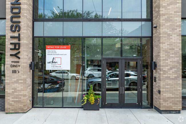
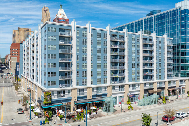
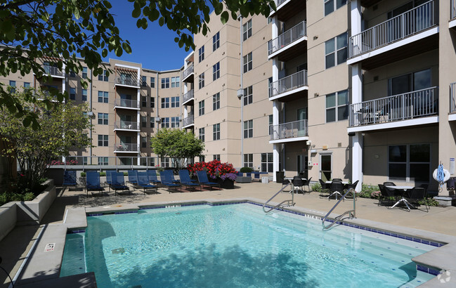
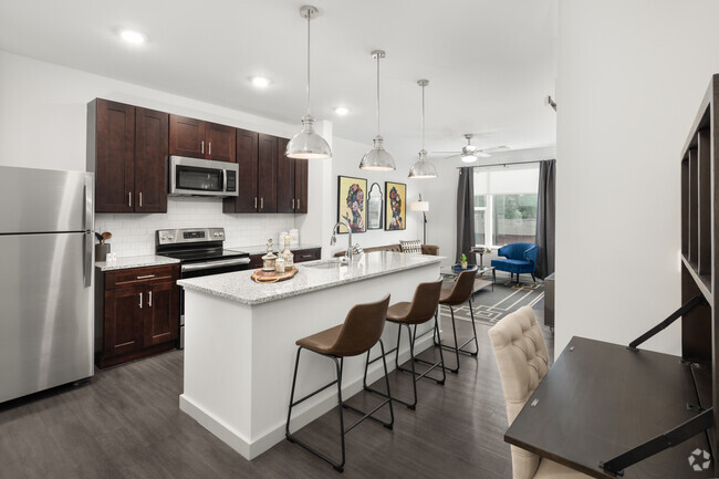
You May Also Like
Similar Rentals Nearby


What Are Walk Score®, Transit Score®, and Bike Score® Ratings?
Walk Score® measures the walkability of any address. Transit Score® measures access to public transit. Bike Score® measures the bikeability of any address.
What is a Sound Score Rating?
A Sound Score Rating aggregates noise caused by vehicle traffic, airplane traffic and local sources
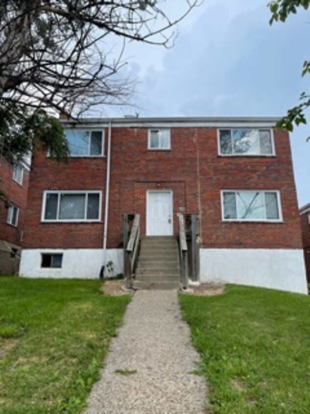
3186 Saffer St
Cincinnati, OH 45211