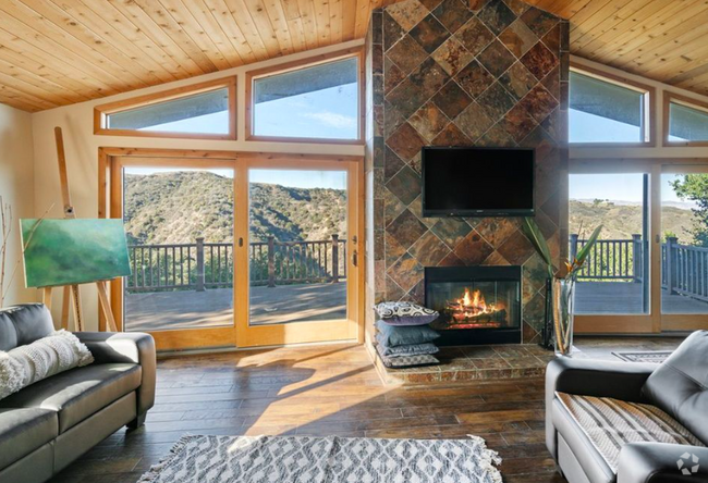
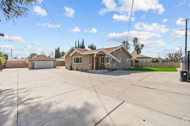
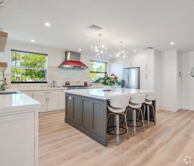
$2,595 / Month
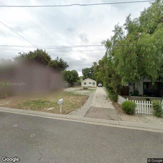
3190 Los Robles Rd
Thousand Oaks, CA 91362
2 Weeks Ago
Favorites
3190 Los Robles Rd
Favorites
Check Back Soon for Upcoming Availability
| Beds | Baths | Average SF |
|---|---|---|
| 2 Bedrooms 2 Bedrooms 2 Br | 1 Bath 1 Bath 1 Ba | 816 SF |
Location
Get Directions
About an hour west of downtown Los Angeles sits Thousand Oaks, a large, upscale suburban community. It is an outstanding place to raise a family—the FBI has identified Thousand Oaks as having one of the lowest crime rates in the nation for a city its size, and the public schools earn excellent marks.
The city is bordered to the south by the Santa Monica Mountains, giving residents enviable access to the rugged natural beauty of southern California. Malibu is only about thirty minutes away, so naturally the beach is quite popular with locals as well.
Learn more about living in Thousand Oaks
Education
| Colleges & Universities | Distance | ||
|---|---|---|---|
| Colleges & Universities | Distance | ||
| Drive: | 13 min | 7.5 mi | |
| Drive: | 18 min | 12.7 mi | |
| Drive: | 22 min | 14.4 mi | |
| Drive: | 27 min | 17.6 mi |
3190 Los Robles Rd is within 13 minutes or 7.5 miles from California Lutheran University. It is also near Moorpark College and CSU Channel Islands.
Schools


Public Elementary, Middle & High School
Grades K-12
345 Students
Nearby
Public Elementary School
Grades K-5
237 Students
Attendance Zone
Public Middle School
Grades 6-8
812 Students
Attendance Zone
Public High School
Grades 9-12
2,083 Students
Attendance Zone
Private Elementary, Middle & High School
Grades 1-12
120 Students
Nearby
Private Elementary School
Grades PK-1
20 Students
Nearby
School data provided by
 The GreatSchools Rating helps parents compare schools within a state based on a variety of school quality indicators and provides a helpful picture of how effectively each school serves all of its students. Ratings are on a scale of 1 (below average) to 10 (above average) and can include test scores, college readiness, academic progress, advanced courses, equity, discipline and attendance data. We also advise parents to visit schools, consider other information on school performance and programs, and consider family needs as part of the school selection process.
View GreatSchools Rating Methodology
View GreatSchools Rating Methodology
Transportation options available in Thousand Oaks include Expo / Sepulveda Station, located 33.2 miles from 3190 Los Robles Rd. 3190 Los Robles Rd is near Bob Hope, located 32.7 miles or 43 minutes away, and Los Angeles International, located 40.9 miles or 53 minutes away.
| Transit / Subway | Distance | ||
|---|---|---|---|
| Transit / Subway | Distance | ||
| Drive: | 41 min | 33.2 mi | |
|
|
Drive: | 42 min | 34.2 mi |
|
|
Drive: | 45 min | 35.4 mi |
|
|
Drive: | 45 min | 35.9 mi |
|
|
Drive: | 46 min | 36.6 mi |
| Commuter Rail | Distance | ||
|---|---|---|---|
| Commuter Rail | Distance | ||
|
|
Drive: | 16 min | 11.5 mi |
|
|
Drive: | 17 min | 13.1 mi |
|
|
Drive: | 25 min | 16.6 mi |
|
|
Drive: | 33 min | 21.5 mi |
|
|
Drive: | 32 min | 22.6 mi |
| Airports | Distance | ||
|---|---|---|---|
| Airports | Distance | ||
|
Bob Hope
|
Drive: | 43 min | 32.7 mi |
|
Los Angeles International
|
Drive: | 53 min | 40.9 mi |
Time and distance from 3190 Los Robles Rd.
| Shopping Centers | Distance | ||
|---|---|---|---|
| Shopping Centers | Distance | ||
| Walk: | 2 min | 0.0 mi | |
| Walk: | 3 min | 0.2 mi | |
| Walk: | 4 min | 0.3 mi |
3190 Los Robles Rd has 3 shopping centers within 0.3 mile, which is about a 4-minute drive. The miles and minutes will be for the farthest away property.
| Parks and Recreation | Distance | ||
|---|---|---|---|
| Parks and Recreation | Distance | ||
|
Santa Monica Mountains National Recreation Area
|
Drive: | 9 min | 4.8 mi |
|
Conejo Valley Botanic Garden
|
Drive: | 8 min | 5.1 mi |
|
Malibu Creek State Park
|
Drive: | 15 min | 9.5 mi |
|
Charmlee Wilderness Park
|
Drive: | 18 min | 10.4 mi |
|
Upper Las Virgenes Canyon Open Space Preserve
|
Drive: | 33 min | 20.1 mi |
3190 Los Robles Rd has 5 parks within 20.1 miles, including Santa Monica Mountains National Recreation Area, Conejo Valley Botanic Garden, and Malibu Creek State Park.
| Hospitals | Distance | ||
|---|---|---|---|
| Hospitals | Distance | ||
| Drive: | 9 min | 5.4 mi | |
| Drive: | 22 min | 14.9 mi |
3190 Los Robles Rd is 5.4 miles from Los Robles Hospital & Medical Center, and is convenient to other hospitals, including Adventist Health Simi Valley.
| Military Bases | Distance | ||
|---|---|---|---|
| Military Bases | Distance | ||
| Drive: | 37 min | 21.2 mi |
3190 Los Robles Rd is 21.2 miles and a 37 minute drive from Point Mugu Naval Air Station.
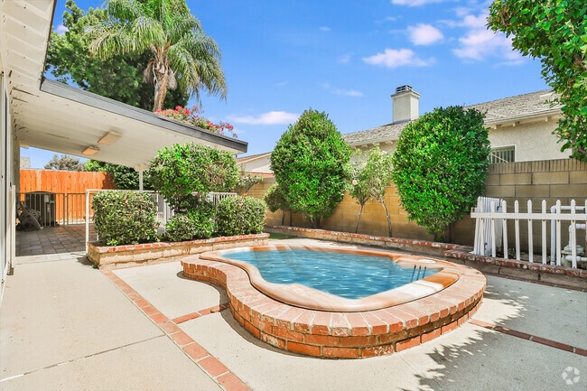
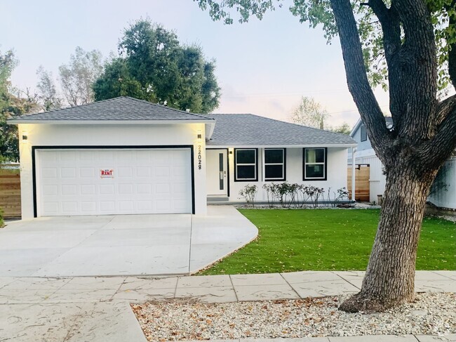
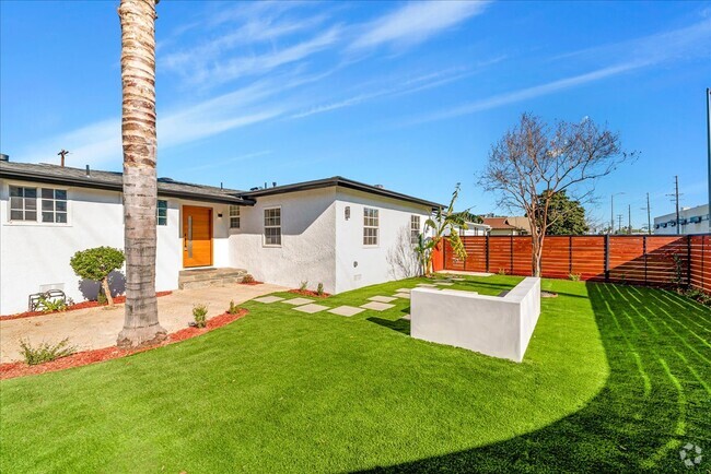
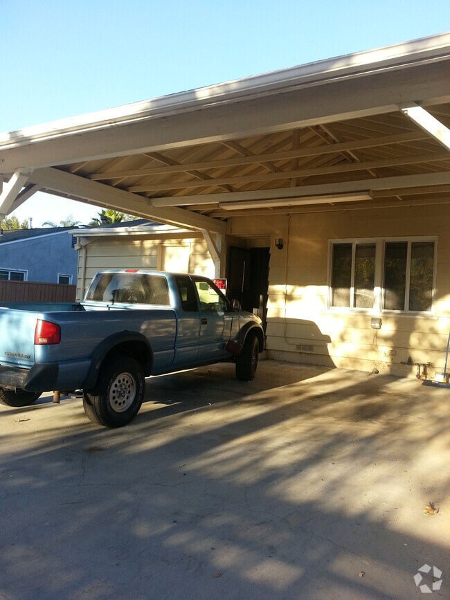
You May Also Like
Similar Rentals Nearby
What Are Walk Score®, Transit Score®, and Bike Score® Ratings?
Walk Score® measures the walkability of any address. Transit Score® measures access to public transit. Bike Score® measures the bikeability of any address.
What is a Sound Score Rating?
A Sound Score Rating aggregates noise caused by vehicle traffic, airplane traffic and local sources

3190 Los Robles Rd
Thousand Oaks, CA 91362