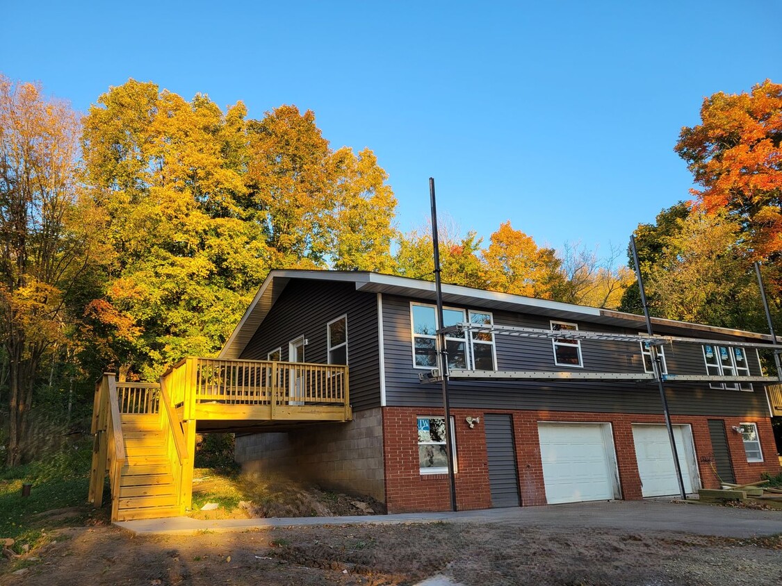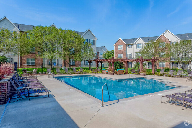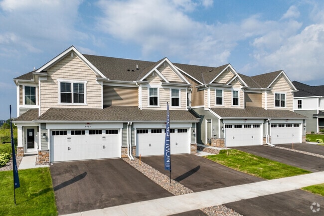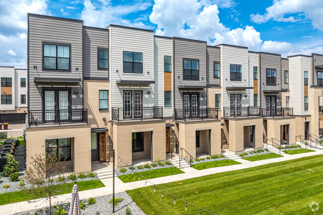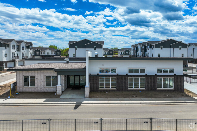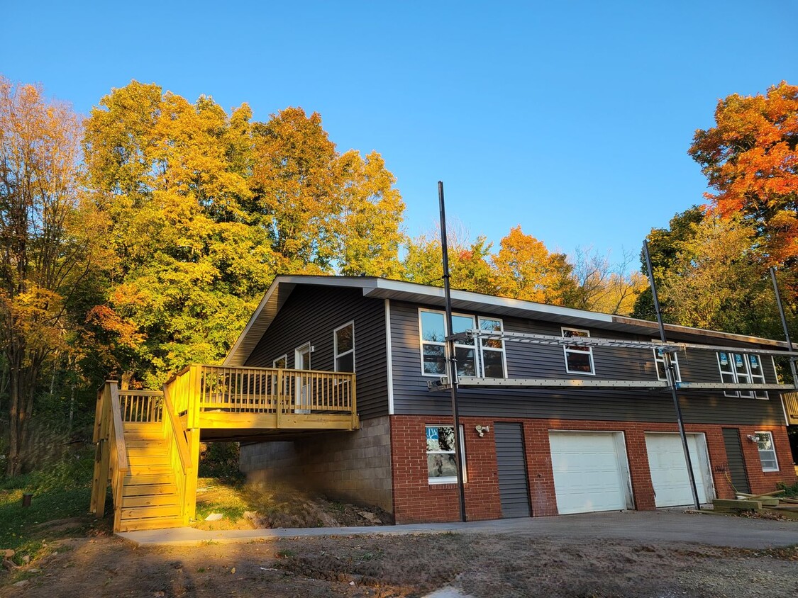
-
Monthly Rent
$1,675
-
Bedrooms
3 bd
-
Bathrooms
1 ba
-
Square Feet
Details

Discover Homeownership
Renting vs. Buying
-
Housing Cost Per Month: $1,675
-
Rent for 30 YearsRenting doesn't build equity Future EquityRenting isn't tax deductible Mortgage Interest Tax Deduction$0 Net Return
-
Buy Over 30 Years$659K - $1.17M Future Equity$295K Mortgage Interest Tax Deduction$56K - $571K Gain Net Return
-
 This Property
 Available Property
Saint Croix Far Eastern Suburbs is an area encompassing the dynamic city of Hudson and stretches west to the more residential areas of the Greater Hudson Area. Its western border is situated off the banks of the Saint Croix River, and a 30-mile drive west on Interstate 94 will take you into the heart of Minneapolis. Stay within Saint Croix Hudson Far Eastern Suburbs to find a historic downtown area located near the river, home to local eateries and boutiques. Head outside of downtown to find nationally recognized stores and restaurants at Plaza 94 Shopping Center. Several parks, some offering riverfront views, dot the area and provide a plethora of outdoor activities as well.
The rental market in Saint Croix Far Eastern Suburbs consists of a variety of apartments and condos situated in clustered spots around the region.
Learn more about living in St Croix Far Eastern Suburbs| Colleges & Universities | Distance | ||
|---|---|---|---|
| Colleges & Universities | Distance | ||
| Drive: | 11 min | 4.3 mi | |
| Drive: | 37 min | 27.1 mi | |
| Drive: | 38 min | 28.3 mi | |
| Drive: | 47 min | 33.1 mi |
Transportation options available in River Falls include Union Depot Station, located 27.7 miles from 32 Glendale Dr. 32 Glendale Dr is near Minneapolis-St Paul International/Wold-Chamberlain, located 37.2 miles or 52 minutes away.
| Transit / Subway | Distance | ||
|---|---|---|---|
| Transit / Subway | Distance | ||
| Drive: | 38 min | 27.7 mi | |
| Drive: | 38 min | 28.1 mi | |
| Drive: | 38 min | 28.2 mi | |
| Drive: | 38 min | 28.2 mi | |
| Drive: | 39 min | 28.5 mi |
| Commuter Rail | Distance | ||
|---|---|---|---|
| Commuter Rail | Distance | ||
|
|
Drive: | 38 min | 27.4 mi |
|
|
Drive: | 46 min | 30.8 mi |
|
|
Drive: | 55 min | 38.0 mi |
|
|
Drive: | 57 min | 43.5 mi |
| Airports | Distance | ||
|---|---|---|---|
| Airports | Distance | ||
|
Minneapolis-St Paul International/Wold-Chamberlain
|
Drive: | 52 min | 37.2 mi |
Time and distance from 32 Glendale Dr.
| Shopping Centers | Distance | ||
|---|---|---|---|
| Shopping Centers | Distance | ||
| Drive: | 8 min | 3.9 mi | |
| Drive: | 14 min | 8.6 mi | |
| Drive: | 14 min | 8.6 mi |
| Parks and Recreation | Distance | ||
|---|---|---|---|
| Parks and Recreation | Distance | ||
|
Kinnickinnic State Park
|
Drive: | 9 min | 4.6 mi |
|
Saint Croix National Scenic River
|
Drive: | 14 min | 8.1 mi |
|
Carpenter Nature Center
|
Drive: | 24 min | 13.9 mi |
|
Afton State Park
|
Drive: | 33 min | 18.7 mi |
|
Afton Alps
|
Drive: | 36 min | 21.0 mi |
| Hospitals | Distance | ||
|---|---|---|---|
| Hospitals | Distance | ||
| Drive: | 9 min | 4.4 mi | |
| Drive: | 15 min | 9.1 mi |
| Military Bases | Distance | ||
|---|---|---|---|
| Military Bases | Distance | ||
| Drive: | 51 min | 36.0 mi |
You May Also Like
Similar Rentals Nearby
-
$2,5003 Beds, 4 Baths, 2,389 sq ftTownhome for Rent
-
-
-
-
-
-
-
-
-
What Are Walk Score®, Transit Score®, and Bike Score® Ratings?
Walk Score® measures the walkability of any address. Transit Score® measures access to public transit. Bike Score® measures the bikeability of any address.
What is a Sound Score Rating?
A Sound Score Rating aggregates noise caused by vehicle traffic, airplane traffic and local sources
