

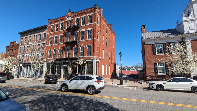
32 W Main St Unit 6
Westborough, MA 01581
-
Bedrooms
Studio
-
Bathrooms
1
-
Square Feet
--
-
Available
Available Mar 20
About This Home
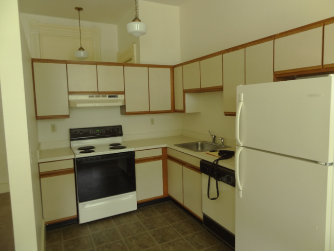
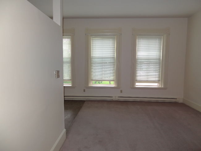
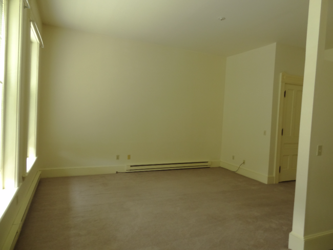
Property Id: 1761951 Live in the heart of downtown Westborough in this studio apartment, nestled in a beautifully preserved historic building just steps from shops, restaurants, and local attractions. This unit features a open layout, high ceilings, and large windows, allowing for an abundance of natural light. Key details: 12-month lease. No Pets. Non-smoking. First, last and security deposit required.
32 W Main St is an apartment community located in Worcester County and the 01581 ZIP Code.
Features
Dishwasher
Refrigerator
Freezer
Oven
- Dishwasher
- Oven
- Refrigerator
- Freezer
Fees and Policies
The fees below are based on community-supplied data and may exclude additional fees and utilities.
Details
Utilities Included
-
Water
-
Trash Removal
-
Sewer
Contact
- Phone Number (508) 289-1508
- Contact
-
Source

- Dishwasher
- Oven
- Refrigerator
- Freezer
Situated just moments east of Worcester is the Route 9 Corridor, a large neighborhood compiled of several communities including Shrewsbury, Westborough, Northborough, and Southborough. Not only is Worcester at residents’ fingertips, but Downtown Boston is less than 40 miles east. The Route 9 Corridor is a commuter’s dream, offering easy city access and entry onto Interstates 290, 495, and 90.
The suburb is dotted with ponds, reservoirs, brooks, and rivers, providing ample outdoor recreation. Renters craving a beach day can bask on the sunny shores of Lake Chauncy Beach. Route 9 Corridor’s Prospect Park allows locals to take their dog for a stroll while Assabet Park gives children ample space to play on the playground. Those looking for winter recreation won’t want to miss the powdery slopes of Ski Ward Ski Area. No matter the season, renters settling in this diverse community can choose from gorgeous apartments ranging in price and amenities.
Learn more about living in Route 9 Corridor| Colleges & Universities | Distance | ||
|---|---|---|---|
| Colleges & Universities | Distance | ||
| Drive: | 10 min | 4.4 mi | |
| Drive: | 16 min | 8.9 mi | |
| Drive: | 18 min | 10.2 mi | |
| Drive: | 19 min | 10.8 mi |
Transportation options available in Westborough include Riverside Station, located 22.0 miles from 32 W Main St Unit 6. 32 W Main St Unit 6 is near Worcester Regional, located 15.7 miles or 29 minutes away, and General Edward Lawrence Logan International, located 35.1 miles or 51 minutes away.
| Transit / Subway | Distance | ||
|---|---|---|---|
| Transit / Subway | Distance | ||
|
|
Drive: | 33 min | 22.0 mi |
|
|
Drive: | 33 min | 22.3 mi |
|
|
Drive: | 34 min | 23.0 mi |
|
|
Drive: | 37 min | 24.6 mi |
|
|
Drive: | 37 min | 24.8 mi |
| Commuter Rail | Distance | ||
|---|---|---|---|
| Commuter Rail | Distance | ||
|
|
Drive: | 6 min | 2.3 mi |
|
|
Drive: | 9 min | 4.5 mi |
|
|
Drive: | 14 min | 7.0 mi |
|
|
Drive: | 19 min | 10.4 mi |
|
|
Drive: | 23 min | 10.6 mi |
| Airports | Distance | ||
|---|---|---|---|
| Airports | Distance | ||
|
Worcester Regional
|
Drive: | 29 min | 15.7 mi |
|
General Edward Lawrence Logan International
|
Drive: | 51 min | 35.1 mi |
Time and distance from 32 W Main St Unit 6.
| Shopping Centers | Distance | ||
|---|---|---|---|
| Shopping Centers | Distance | ||
| Walk: | 7 min | 0.4 mi | |
| Drive: | 4 min | 1.3 mi | |
| Drive: | 4 min | 1.4 mi |
| Parks and Recreation | Distance | ||
|---|---|---|---|
| Parks and Recreation | Distance | ||
|
Cedar Hill and Sawink Farm Reservation
|
Drive: | 8 min | 3.2 mi |
|
Walkup And Robinson Memorial Reservation
|
Drive: | 7 min | 3.3 mi |
|
Whitehall State Park
|
Drive: | 13 min | 4.2 mi |
|
Ward Hill Ski Area
|
Drive: | 12 min | 5.2 mi |
|
Upton State Forest
|
Drive: | 11 min | 5.6 mi |
| Hospitals | Distance | ||
|---|---|---|---|
| Hospitals | Distance | ||
| Drive: | 15 min | 8.6 mi | |
| Drive: | 15 min | 8.9 mi | |
| Drive: | 15 min | 9.2 mi |
| Military Bases | Distance | ||
|---|---|---|---|
| Military Bases | Distance | ||
| Drive: | 26 min | 15.0 mi |
You May Also Like
What Are Walk Score®, Transit Score®, and Bike Score® Ratings?
Walk Score® measures the walkability of any address. Transit Score® measures access to public transit. Bike Score® measures the bikeability of any address.
What is a Sound Score Rating?
A Sound Score Rating aggregates noise caused by vehicle traffic, airplane traffic and local sources
32 W Main St
Westborough, MA 01581