33 Davis St
Tyngsboro, MA 01879

Check Back Soon for Upcoming Availability
| Beds | Baths | Average SF |
|---|---|---|
| 2 Bedrooms 2 Bedrooms 2 Br | 1 Bath 1 Bath 1 Ba | — |
About This Property
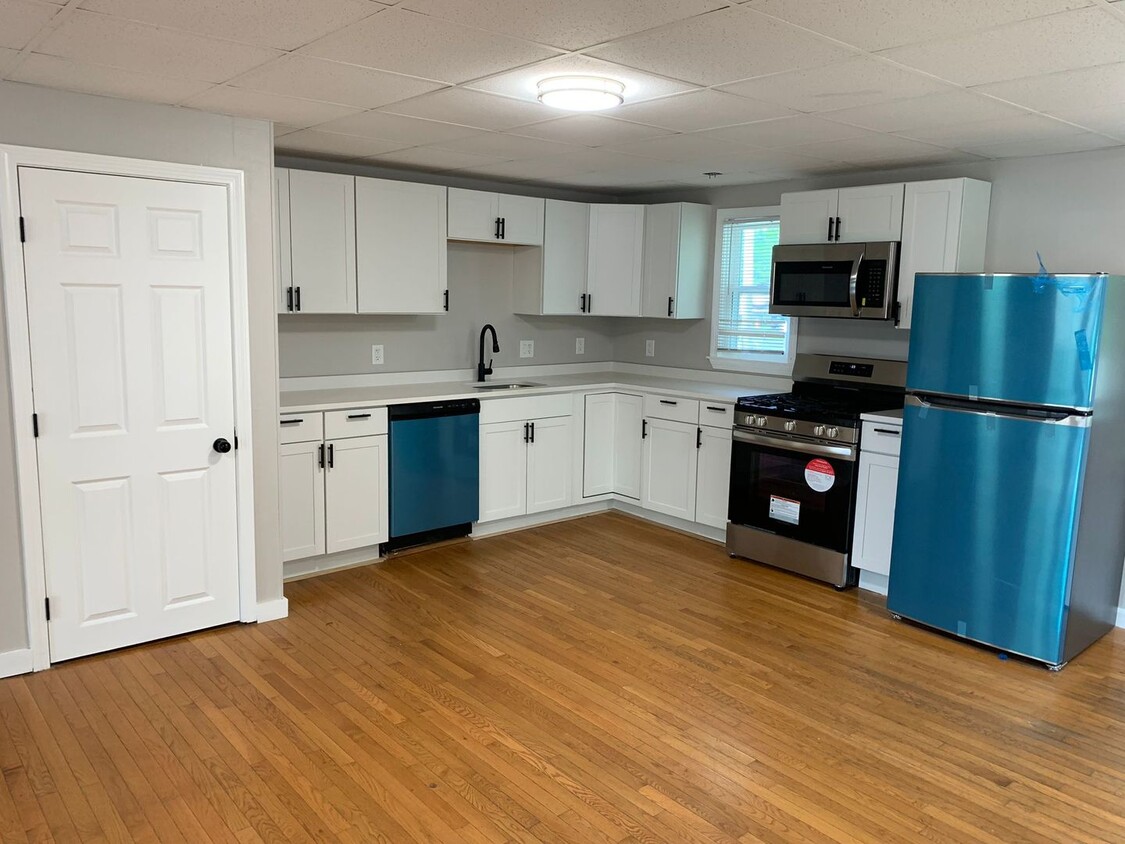
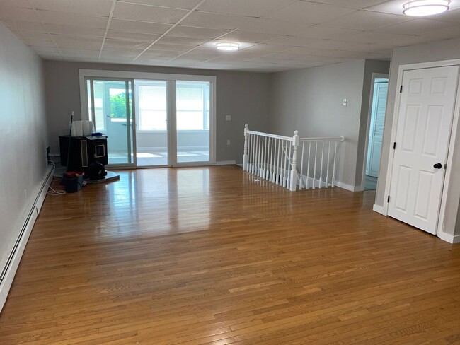
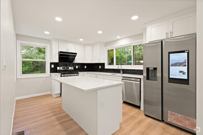
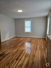
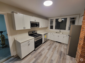
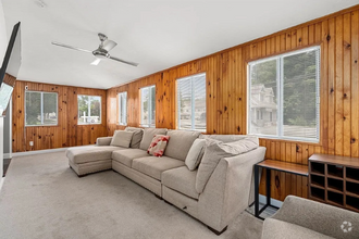
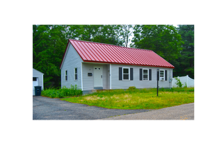
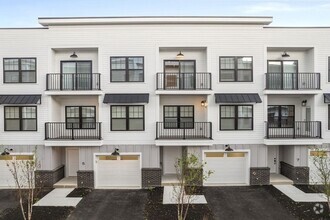
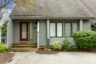
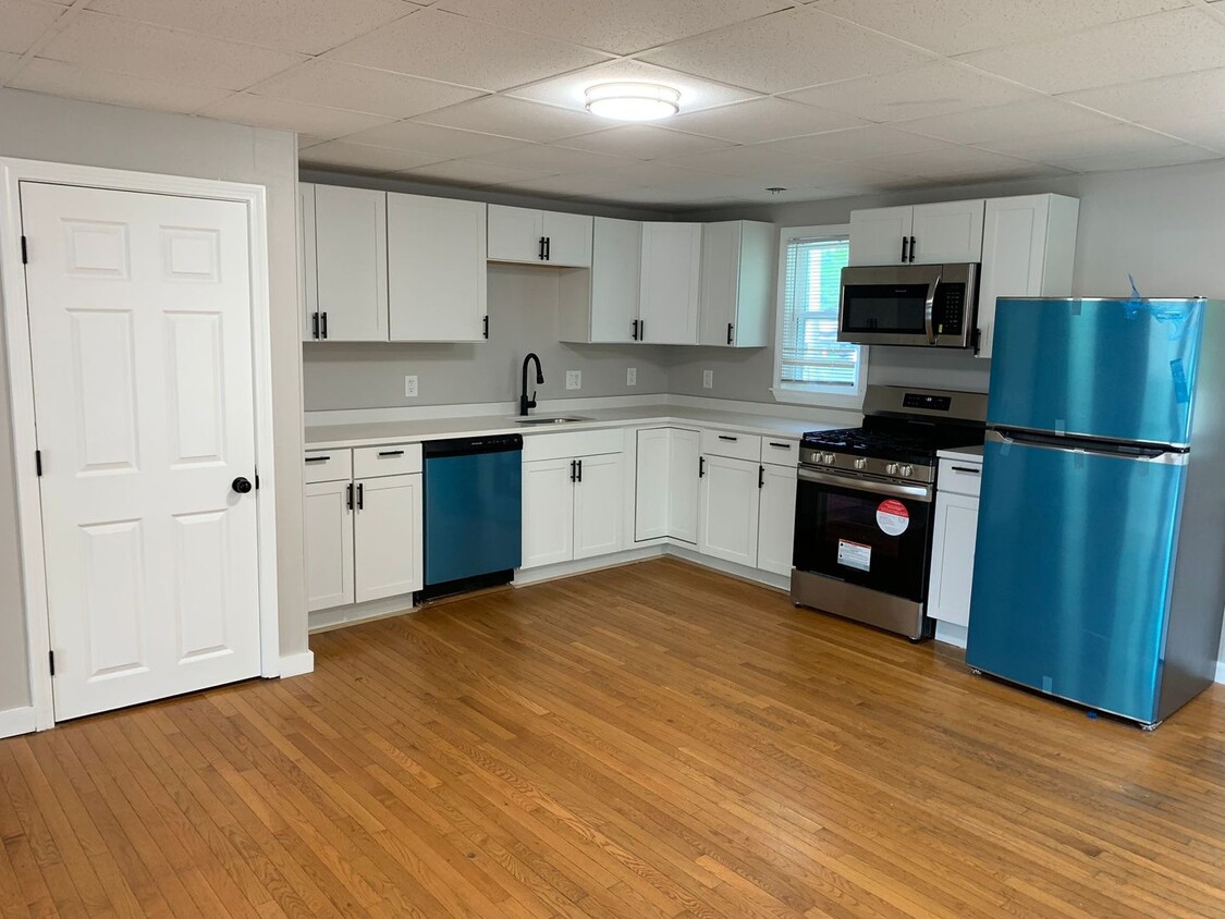
Ubicación: 33 Davis St, Tyngsborough, MA - una hermosa zona al lado del camping Increíble casa unifamiliar en alquiler, recientemente renovada - cocina y baño recientemente remodelados Cocina totalmente equipada: refrigerador, microondas, lavavajillas, estufa, horno y despensa Características: - Pisos de madera - Patio y patio privado - Acceso a la playa - Increíble vista desde las ventanas - Estacionamiento para 2 autos - Lavandería compartida en el edificio - Lavandería en el lugar Alquiler: $2700/mes Agua, alcantarillado y electricidad incluidos La calefacción y el gas para cocinar (propano) son responsabilidad del inquilino Mascotas: Negociable (máximo 2 mascotas permitidas) Calificaciones: - Historial de alquiler previo - Ingresos netos del hogar al menos el doble del alquiler - Se requiere buen historial crediticio - Solicitantes de la Sección 8 y RAFT bienvenidos Se requiere una solicitud gratuita antes de programar un recorrido para simplificar el proceso. Tarifas de mudanza: Depósito de seguridad: $2700 Alquiler del primer mes: $2700 Alquiler del último mes: $2700
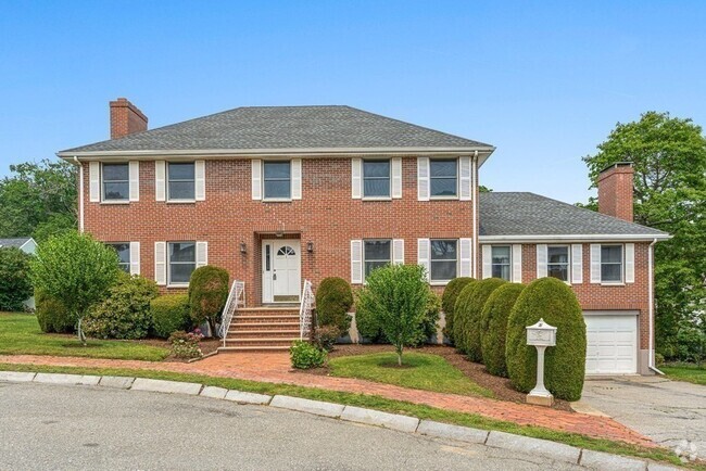
33 Davis St is a house located in Middlesex County and the 01879 ZIP Code. This area is served by the Tyngsborough attendance zone.
| Colleges & Universities | Distance | ||
|---|---|---|---|
| Colleges & Universities | Distance | ||
| Drive: | 11 min | 5.4 mi | |
| Drive: | 13 min | 6.4 mi | |
| Drive: | 15 min | 7.4 mi | |
| Drive: | 30 min | 16.3 mi |
 The GreatSchools Rating helps parents compare schools within a state based on a variety of school quality indicators and provides a helpful picture of how effectively each school serves all of its students. Ratings are on a scale of 1 (below average) to 10 (above average) and can include test scores, college readiness, academic progress, advanced courses, equity, discipline and attendance data. We also advise parents to visit schools, consider other information on school performance and programs, and consider family needs as part of the school selection process.
View GreatSchools Rating Methodology
Transportation options available in Tyngsboro include Alewife Station, located 28.1 miles from 33 Davis St. 33 Davis St is near Manchester Boston Regional, located 24.6 miles or 38 minutes away, and General Edward Lawrence Logan International, located 36.8 miles or 58 minutes away.
| Transit / Subway | Distance | ||
|---|---|---|---|
| Transit / Subway | Distance | ||
|
|
Drive: | 47 min | 28.1 mi |
|
|
Drive: | 48 min | 28.4 mi |
| Drive: | 47 min | 28.5 mi | |
|
|
Drive: | 47 min | 28.9 mi |
|
|
Drive: | 48 min | 30.3 mi |
| Commuter Rail | Distance | ||
|---|---|---|---|
| Commuter Rail | Distance | ||
|
|
Drive: | 14 min | 6.6 mi |
|
|
Drive: | 22 min | 10.9 mi |
|
|
Drive: | 32 min | 15.4 mi |
|
|
Drive: | 31 min | 15.9 mi |
|
|
Drive: | 31 min | 19.9 mi |
| Airports | Distance | ||
|---|---|---|---|
| Airports | Distance | ||
|
Manchester Boston Regional
|
Drive: | 38 min | 24.6 mi |
|
General Edward Lawrence Logan International
|
Drive: | 58 min | 36.8 mi |
Time and distance from 33 Davis St.
| Shopping Centers | Distance | ||
|---|---|---|---|
| Shopping Centers | Distance | ||
| Drive: | 6 min | 2.8 mi | |
| Drive: | 7 min | 3.6 mi | |
| Drive: | 7 min | 3.7 mi |
| Parks and Recreation | Distance | ||
|---|---|---|---|
| Parks and Recreation | Distance | ||
|
Lowell Heritage State Park
|
Drive: | 9 min | 4.8 mi |
|
The Butterfly Place
|
Drive: | 10 min | 4.9 mi |
|
Lowell-Dracut-Tyngsboro State Forest
|
Drive: | 12 min | 5.4 mi |
|
Lowell National Historical Park
|
Drive: | 12 min | 6.2 mi |
|
MIT Haystack Observatory
|
Drive: | 19 min | 9.3 mi |
| Hospitals | Distance | ||
|---|---|---|---|
| Hospitals | Distance | ||
| Drive: | 10 min | 5.5 mi | |
| Drive: | 18 min | 8.5 mi | |
| Drive: | 17 min | 10.0 mi |
You May Also Like
Similar Rentals Nearby
What Are Walk Score®, Transit Score®, and Bike Score® Ratings?
Walk Score® measures the walkability of any address. Transit Score® measures access to public transit. Bike Score® measures the bikeability of any address.
What is a Sound Score Rating?
A Sound Score Rating aggregates noise caused by vehicle traffic, airplane traffic and local sources
