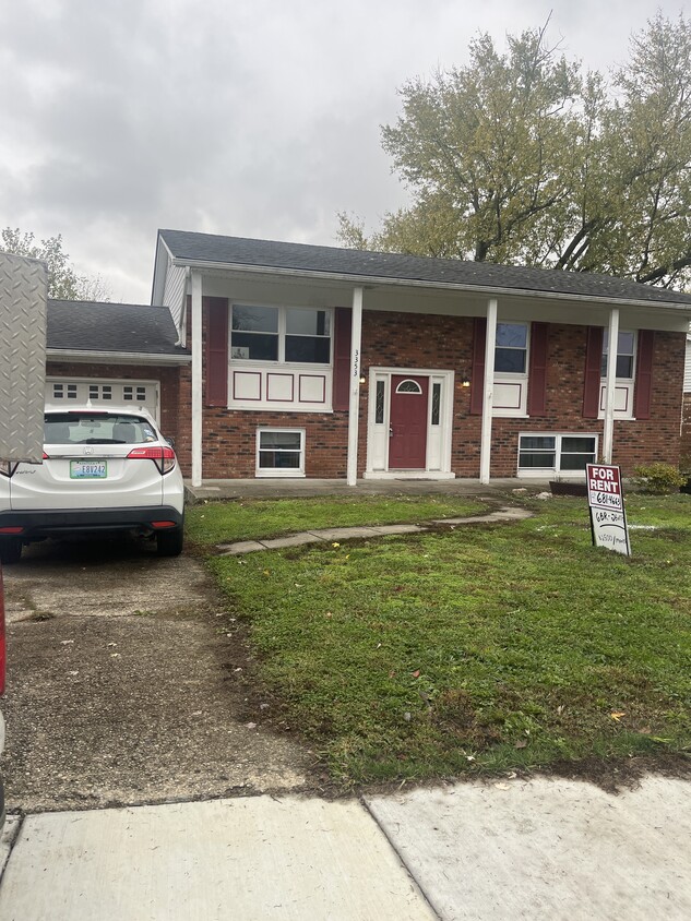
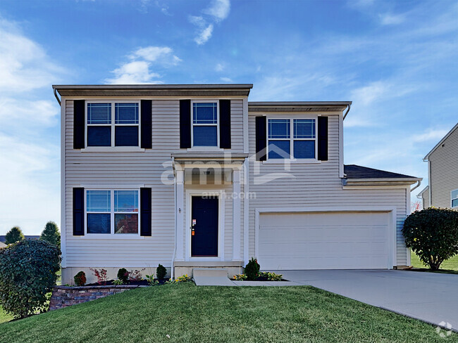
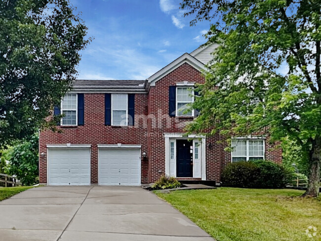
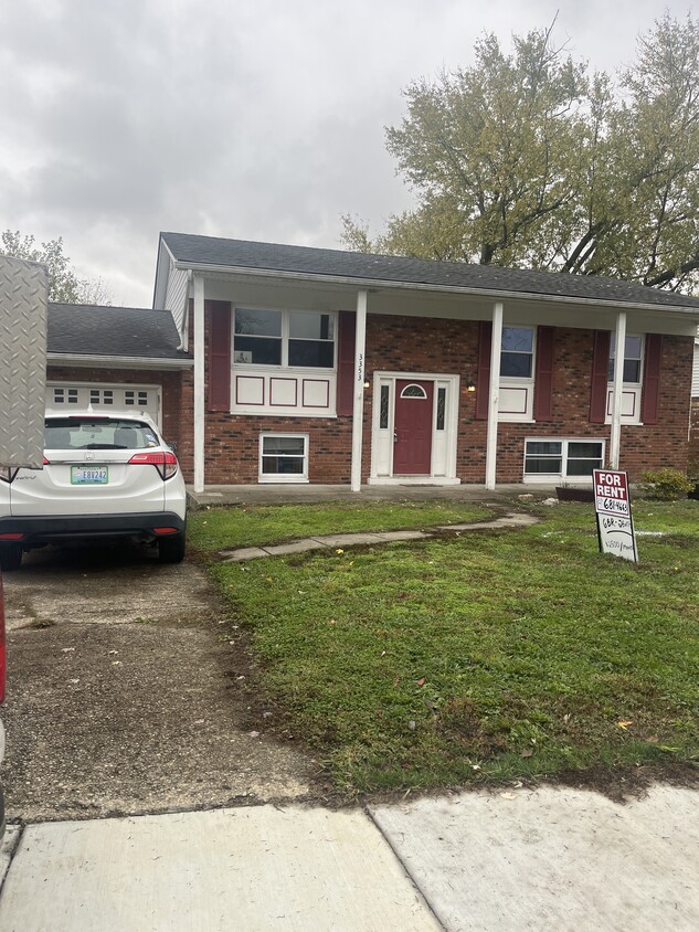
3353 Fir Tree Ln
Erlanger, KY 41018

Check Back Soon for Upcoming Availability
| Beds | Baths | Average SF |
|---|---|---|
| 6 Bedrooms 6 Bedrooms 6 Br | 2 Baths 2 Baths 2 Ba | 2,500 SF |
About This Property
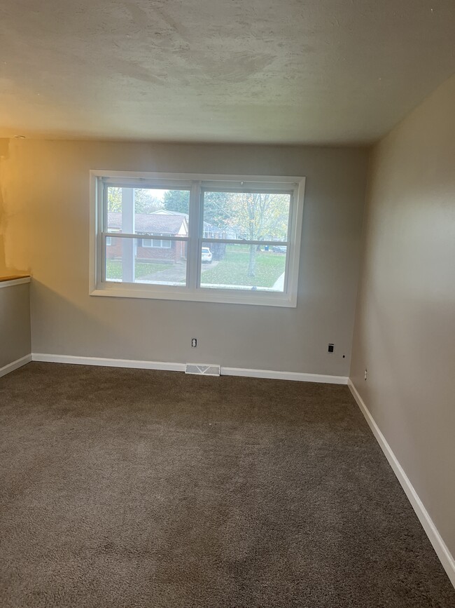
6 bedroom with deck and yard. Combined incomes must be $2,500.00 per week
3353 Fir Tree Ln is a house located in Kenton County and the 41018 ZIP Code. This area is served by the Kenton County attendance zone.
House Features
- Washer/Dryer
- Washer/Dryer Hookup
- Dishwasher
Fees and Policies
Northern Kentucky is a sprawling region located just south of Cincinnati, Ohio. The Ohio River hugs the northern, eastern, and western portions of the region, serving as a scenic destination for all kinds of outdoor recreation throughout the year. Florence, Dayton, Newport, Covington, Burlington, and Highland Heights are among the many communities included in the Northern Kentucky region.
Each community in Northern Kentucky offers its own unique identity and sense of character. The rentals in the area are just as diverse as Northern Kentucky itself, ranging from luxury apartments to charming houses and everything in between. Getting around the region is a breeze with convenience to Interstates 71, 75, 275, and 471.
Learn more about living in Northern Kentucky- Washer/Dryer
- Washer/Dryer Hookup
- Dishwasher
| Colleges & Universities | Distance | ||
|---|---|---|---|
| Colleges & Universities | Distance | ||
| Drive: | 11 min | 4.7 mi | |
| Drive: | 20 min | 11.5 mi | |
| Drive: | 24 min | 14.3 mi | |
| Drive: | 32 min | 17.3 mi |
 The GreatSchools Rating helps parents compare schools within a state based on a variety of school quality indicators and provides a helpful picture of how effectively each school serves all of its students. Ratings are on a scale of 1 (below average) to 10 (above average) and can include test scores, college readiness, academic progress, advanced courses, equity, discipline and attendance data. We also advise parents to visit schools, consider other information on school performance and programs, and consider family needs as part of the school selection process.
View GreatSchools Rating Methodology
Transportation options available in Erlanger include The Banks Station, 2Nd & Main, located 10.2 miles from 3353 Fir Tree Ln. 3353 Fir Tree Ln is near Cincinnati/Northern Kentucky International, located 3.6 miles or 15 minutes away.
| Transit / Subway | Distance | ||
|---|---|---|---|
| Transit / Subway | Distance | ||
| Drive: | 18 min | 10.2 mi | |
| Drive: | 18 min | 10.3 mi | |
| Drive: | 19 min | 10.4 mi | |
| Drive: | 19 min | 10.5 mi | |
| Drive: | 20 min | 10.7 mi |
| Commuter Rail | Distance | ||
|---|---|---|---|
| Commuter Rail | Distance | ||
|
|
Drive: | 21 min | 11.2 mi |
| Airports | Distance | ||
|---|---|---|---|
| Airports | Distance | ||
|
Cincinnati/Northern Kentucky International
|
Drive: | 15 min | 3.6 mi |
Time and distance from 3353 Fir Tree Ln.
| Shopping Centers | Distance | ||
|---|---|---|---|
| Shopping Centers | Distance | ||
| Drive: | 5 min | 1.8 mi | |
| Drive: | 6 min | 1.9 mi | |
| Drive: | 7 min | 2.2 mi |
| Parks and Recreation | Distance | ||
|---|---|---|---|
| Parks and Recreation | Distance | ||
|
Museum of Natural History and Science
|
Drive: | 21 min | 11.2 mi |
|
Cincinnati History Museum
|
Drive: | 21 min | 11.2 mi |
|
Wilson Commons
|
Drive: | 22 min | 12.4 mi |
|
Imago Earth Center
|
Drive: | 24 min | 13.6 mi |
|
Embshoff Woods
|
Drive: | 27 min | 15.1 mi |
| Hospitals | Distance | ||
|---|---|---|---|
| Hospitals | Distance | ||
| Drive: | 5 min | 2.2 mi | |
| Drive: | 5 min | 2.6 mi | |
| Drive: | 13 min | 5.5 mi |
| Military Bases | Distance | ||
|---|---|---|---|
| Military Bases | Distance | ||
| Drive: | 87 min | 64.7 mi | |
| Drive: | 93 min | 69.8 mi | |
| Drive: | 95 min | 73.1 mi |
You May Also Like
Similar Rentals Nearby
What Are Walk Score®, Transit Score®, and Bike Score® Ratings?
Walk Score® measures the walkability of any address. Transit Score® measures access to public transit. Bike Score® measures the bikeability of any address.
What is a Sound Score Rating?
A Sound Score Rating aggregates noise caused by vehicle traffic, airplane traffic and local sources
