
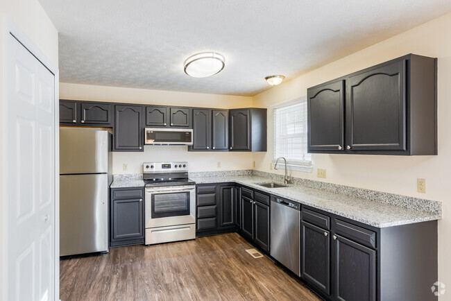
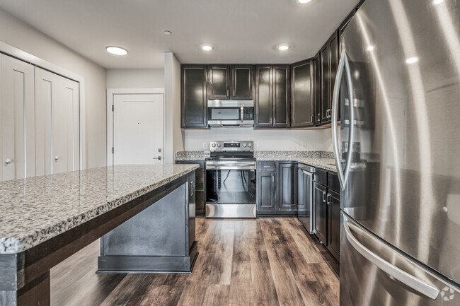
$770 / Month
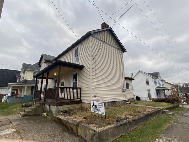
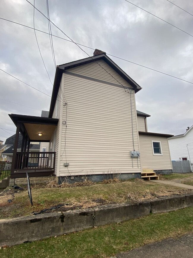
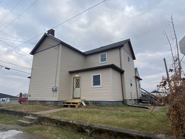
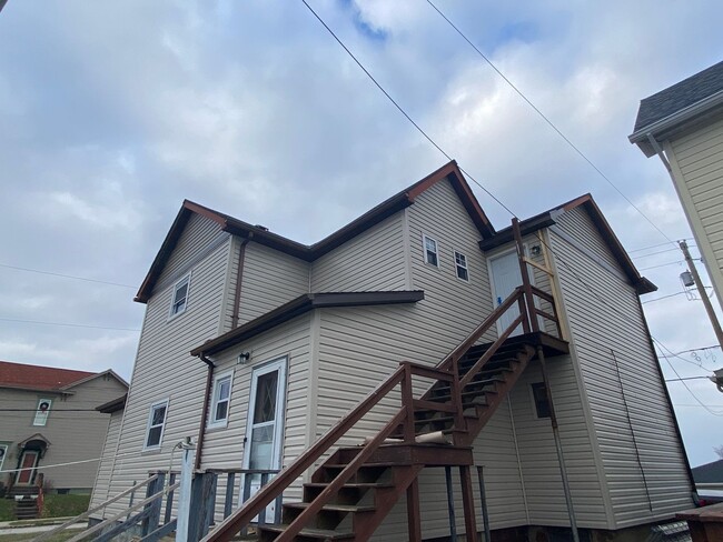
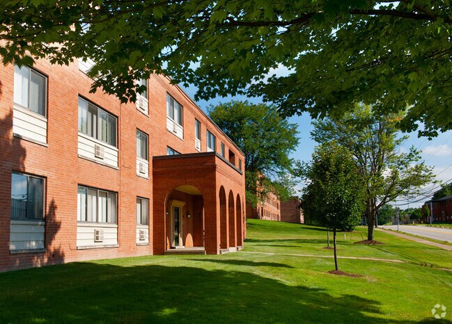
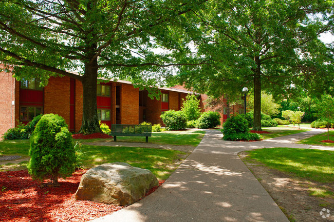
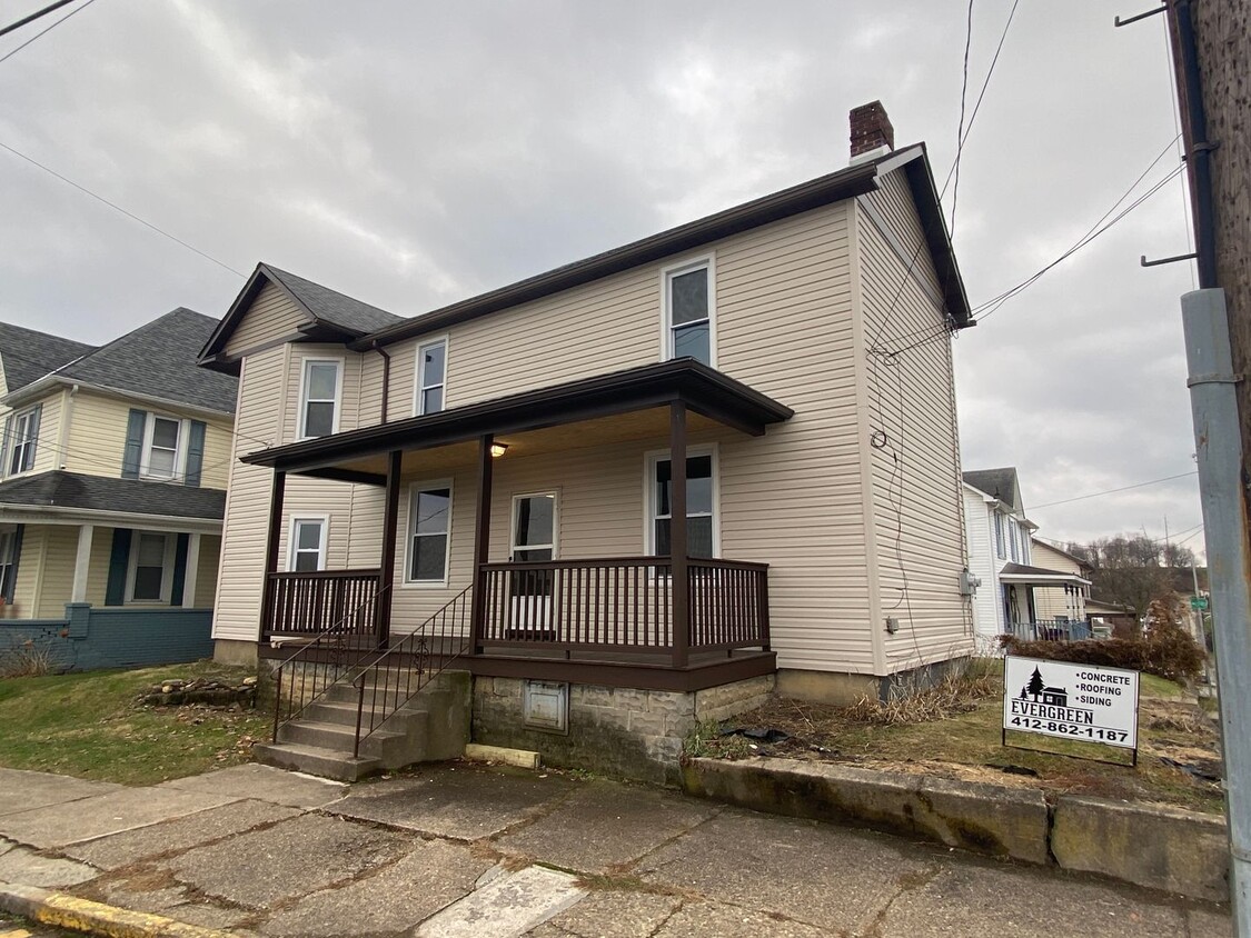
347 Washington St Unit Lower
Mount Pleasant, PA 15666
Today
Favorites
724-390-2703
-
Bedrooms
2
-
Bathrooms
2
-
Square Feet
1,164 sq ft
-
Available
Available Now
347 Washington St Unit Lower

Favorites
Contact
- Listed by Evergreen PGH LLC | Evergreen PGH LLC
- Phone Number
- Contact
Location
Get Directions
Nestled in Westmoreland County, Mount Pleasant is a historic borough brimming with small-town charm. Main Street sits at the heart of the community, boasting an array of independent shops and eateries in historic red-brick storefronts.
Mount Pleasant is the oldest borough in Westmoreland County, honoring its heritage with a slew of well-preserved buildings and historic monuments. Residents delight in Mount Pleasant’s affordable apartments, close-knit community, and relative proximity to area destinations such as Bridgeport Dam Park and Greendance the Winery at Sandhill. Convenience to U.S. Route 119 and Interstate 76 connects Mount Pleasant to Pittsburgh and beyond.
Learn more about living in Mount Pleasant
Education
| Colleges & Universities | Distance | ||
|---|---|---|---|
| Colleges & Universities | Distance | ||
| Drive: | 15 min | 8.5 mi | |
| Drive: | 23 min | 11.2 mi | |
| Drive: | 23 min | 15.5 mi | |
| Drive: | 30 min | 16.0 mi |
347 Washington St Unit Lower is within 15 minutes or 8.5 miles from Westmoreland Co. Comm. Coll.. It is also near Univ. of Pittsburgh Greensburg and Seton Hill University.
Transportation options available in Mount Pleasant include Library, located 34.8 miles from 347 Washington St Unit Lower. 347 Washington St Unit Lower is near Arnold Palmer Regional, located 13.6 miles or 25 minutes away.
| Transit / Subway | Distance | ||
|---|---|---|---|
| Transit / Subway | Distance | ||
|
|
Drive: | 58 min | 34.8 mi |
|
|
Drive: | 60 min | 36.5 mi |
|
|
Drive: | 61 min | 36.6 mi |
|
|
Drive: | 61 min | 37.0 mi |
|
|
Drive: | 62 min | 37.4 mi |
| Commuter Rail | Distance | ||
|---|---|---|---|
| Commuter Rail | Distance | ||
|
|
Drive: | 16 min | 11.6 mi |
|
|
Drive: | 21 min | 15.0 mi |
|
|
Drive: | 34 min | 17.8 mi |
|
|
Drive: | 55 min | 41.7 mi |
| Airports | Distance | ||
|---|---|---|---|
| Airports | Distance | ||
|
Arnold Palmer Regional
|
Drive: | 25 min | 13.6 mi |
Time and distance from 347 Washington St Unit Lower.
| Shopping Centers | Distance | ||
|---|---|---|---|
| Shopping Centers | Distance | ||
| Walk: | 3 min | 0.2 mi | |
| Walk: | 9 min | 0.5 mi | |
| Drive: | 15 min | 4.8 mi |
347 Washington St Unit Lower has 3 shopping centers within 4.8 miles, which is about a 15-minute walk. The miles and minutes will be for the farthest away property.
| Parks and Recreation | Distance | ||
|---|---|---|---|
| Parks and Recreation | Distance | ||
|
Bridgeport Dam Park
|
Drive: | 4 min | 2.0 mi |
|
Chestnut Ridge Park
|
Drive: | 12 min | 7.0 mi |
|
Sewickley Creek Wetlands
|
Drive: | 12 min | 8.6 mi |
|
Mammoth County Park
|
Drive: | 18 min | 9.3 mi |
347 Washington St Unit Lower has 4 parks within 9.3 miles, including Bridgeport Dam Park, Chestnut Ridge Park, and Sewickley Creek Wetlands.
| Hospitals | Distance | ||
|---|---|---|---|
| Hospitals | Distance | ||
| Walk: | 10 min | 0.5 mi | |
| Drive: | 16 min | 11.3 mi |
347 Washington St Unit Lower is 0.5 mile from Excela Health - Frick Hospital, and is convenient to other hospitals, including Highlands Hospital.
| Military Bases | Distance | ||
|---|---|---|---|
| Military Bases | Distance | ||
| Drive: | 75 min | 56.6 mi |
347 Washington St Unit Lower is 56.6 miles and a 75 minute drive from Pittsburgh Air Reserve Station.
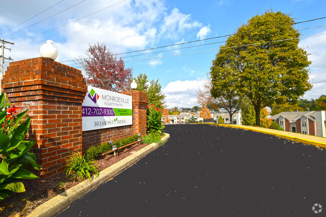
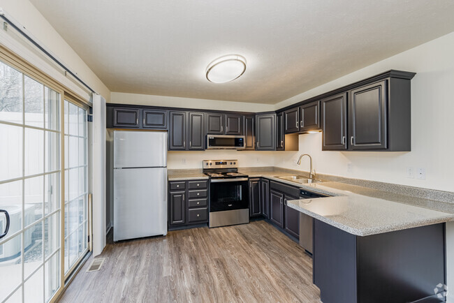
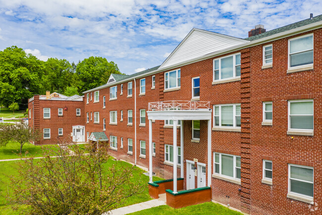
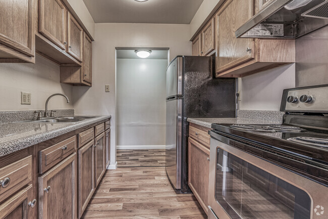
You May Also Like
Similar Rentals Nearby


What Are Walk Score®, Transit Score®, and Bike Score® Ratings?
Walk Score® measures the walkability of any address. Transit Score® measures access to public transit. Bike Score® measures the bikeability of any address.
What is a Sound Score Rating?
A Sound Score Rating aggregates noise caused by vehicle traffic, airplane traffic and local sources
347 Washington St
Mount Pleasant, PA 15666