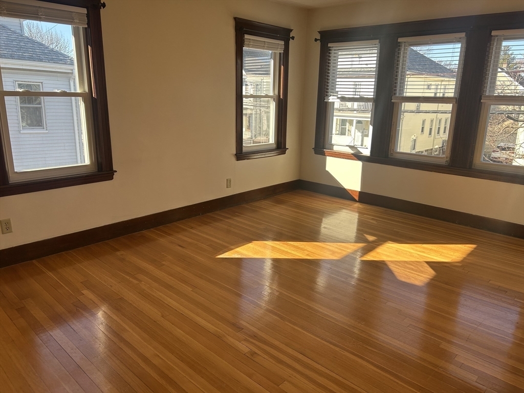
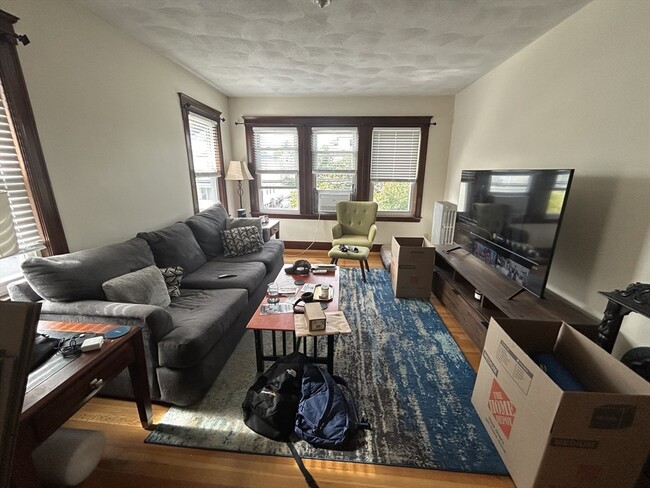
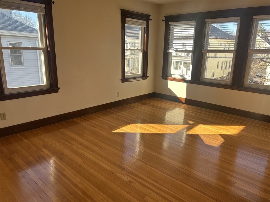
35 Amsden St
Arlington, MA 02474
-
Bedrooms
3
-
Bathrooms
1
-
Square Feet
1,400 sq ft
-
Available
Available Now
Highlight
- Pets Allowed

35 Amsden St is a house located in Middlesex County and the 02474 ZIP Code. This area is served by the Arlington Public Schools attendance zone.
House Features
- Washer/Dryer
Contact
- Phone Number (781) 574-8695
- Contact
Located fewer than 10 miles northwest of downtown Boston, the bustling neighborhood of East Arlington combines a small-town atmosphere with the active nightlife of a larger city. The commercial district runs along Massachusetts Avenue, while homes for rent line the side streets. Many commuters walk or bike the Minuteman Commuter Bikeway to the Alewife T stop, which takes them into Boston and Cambridge.
Before leaving your East Arlington apartment for work, walk to Quebrada Baking Company for a cup of coffee and a handmade almond croissant. Pizza lovers enjoy the creative pies available at Za and the thin-crust pizzas at OTTO. For a night out, check out the films at the historic Capitol Theatre, which was built in 1925. Film patrons can purchase ice cream at Capitol Creamery right around the corner to satisfy the night's sweet tooth.
Learn more about living in East Arlington| Colleges & Universities | Distance | ||
|---|---|---|---|
| Colleges & Universities | Distance | ||
| Drive: | 4 min | 1.7 mi | |
| Drive: | 4 min | 1.8 mi | |
| Drive: | 4 min | 2.1 mi | |
| Drive: | 6 min | 2.7 mi |
Transportation options available in Arlington include Alewife Station, located 1.2 miles from 35 Amsden St. 35 Amsden St is near General Edward Lawrence Logan International, located 9.4 miles or 18 minutes away.
| Transit / Subway | Distance | ||
|---|---|---|---|
| Transit / Subway | Distance | ||
|
|
Drive: | 2 min | 1.2 mi |
|
|
Drive: | 3 min | 1.4 mi |
|
|
Drive: | 3 min | 1.5 mi |
| Drive: | 4 min | 2.0 mi | |
| Drive: | 5 min | 2.3 mi |
| Commuter Rail | Distance | ||
|---|---|---|---|
| Commuter Rail | Distance | ||
|
|
Drive: | 4 min | 1.7 mi |
|
|
Drive: | 5 min | 2.0 mi |
|
|
Drive: | 5 min | 2.2 mi |
|
|
Drive: | 7 min | 3.5 mi |
|
|
Drive: | 7 min | 3.6 mi |
| Airports | Distance | ||
|---|---|---|---|
| Airports | Distance | ||
|
General Edward Lawrence Logan International
|
Drive: | 18 min | 9.4 mi |
Time and distance from 35 Amsden St.
| Shopping Centers | Distance | ||
|---|---|---|---|
| Shopping Centers | Distance | ||
| Drive: | 2 min | 1.4 mi | |
| Drive: | 3 min | 1.5 mi | |
| Drive: | 3 min | 1.6 mi |
| Parks and Recreation | Distance | ||
|---|---|---|---|
| Parks and Recreation | Distance | ||
|
Mineralogical and Geological Museum
|
Drive: | 5 min | 2.3 mi |
|
Harvard Museum of Natural History
|
Drive: | 5 min | 2.4 mi |
|
Harvard-Smithsonian Center for Astrophysics
|
Drive: | 5 min | 2.4 mi |
|
Longfellow National Historic Site
|
Drive: | 6 min | 2.8 mi |
|
Mass Audubon's Habitat Education Center and Wildlife Sanctuary
|
Drive: | 7 min | 3.0 mi |
| Hospitals | Distance | ||
|---|---|---|---|
| Hospitals | Distance | ||
| Drive: | 5 min | 2.9 mi | |
| Drive: | 7 min | 3.2 mi | |
| Drive: | 7 min | 3.9 mi |
| Military Bases | Distance | ||
|---|---|---|---|
| Military Bases | Distance | ||
| Drive: | 18 min | 9.3 mi | |
| Drive: | 31 min | 17.2 mi |
- Washer/Dryer
35 Amsden St Photos
What Are Walk Score®, Transit Score®, and Bike Score® Ratings?
Walk Score® measures the walkability of any address. Transit Score® measures access to public transit. Bike Score® measures the bikeability of any address.
What is a Sound Score Rating?
A Sound Score Rating aggregates noise caused by vehicle traffic, airplane traffic and local sources


