
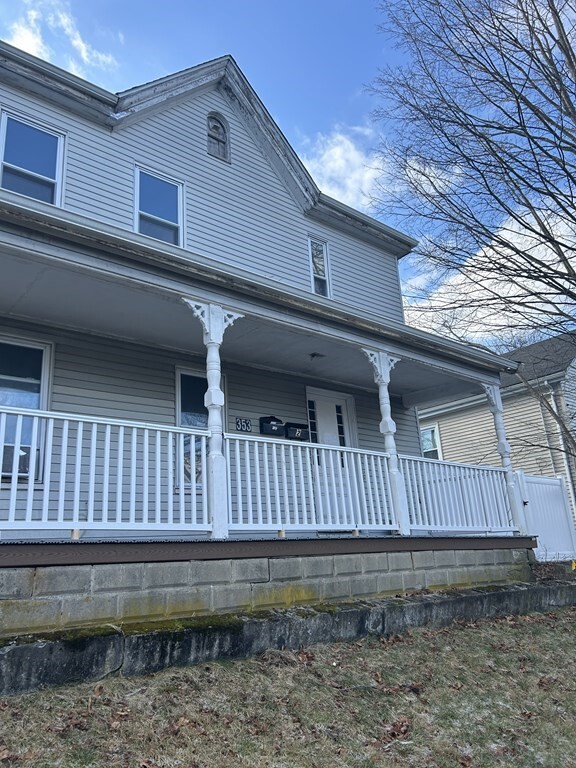
353 Whiting Ave Unit 2
Dedham, MA 02026
Favorites

353 Whiting Ave Unit 2
Favorites
Check Back Soon for Upcoming Availability
| Beds | Baths | Average SF |
|---|---|---|
| 2 Bedrooms 2 Bedrooms 2 Br | 1 Bath 1 Bath 1 Ba | 1,000 SF |
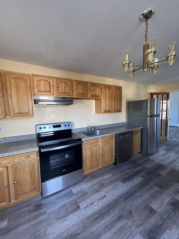
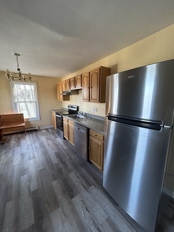
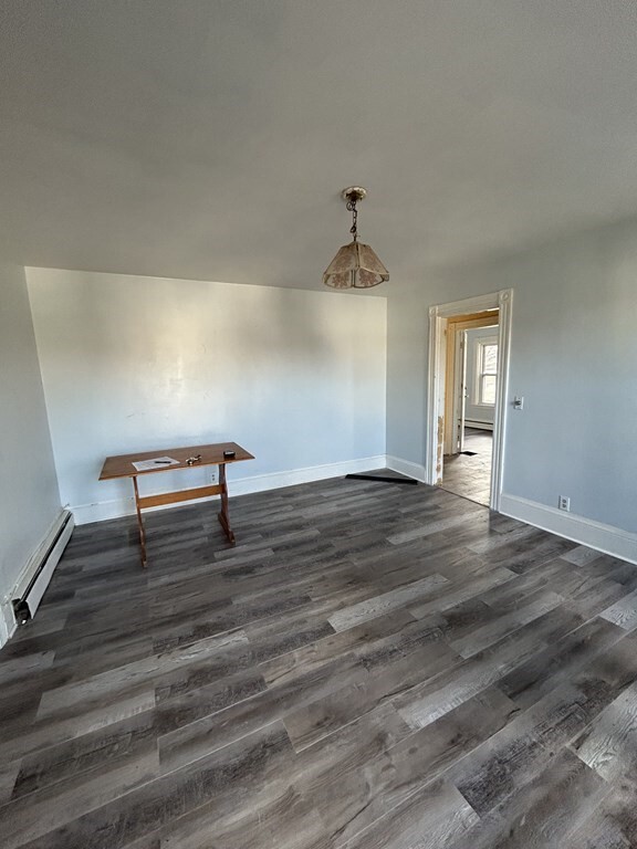
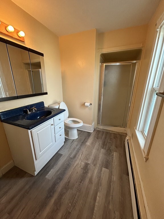
About This Property
Located in the quiet,residential neighborhood of Oakdale with schools and shopping nearby. This second floor unit features a spacious living room with elegant French doors separating the eat-in kitchen. New modern vinyl flooring installed throughout. Both bedrooms offer comfortable space with large closets. Pet-friendly! Off-street parking for (2) vehicles. *HEAT & HOT WATER INCLUDED*
353 Whiting Ave is an apartment community located in Norfolk County and the 02026 ZIP Code.
Fees and Policies
The fees below are based on community-supplied data and may exclude additional fees and utilities.
- Dogs Allowed
-
Fees not specified
- Cats Allowed
-
Fees not specified
Property Address:
353 Whiting Ave,
Dedham,
MA
02026
 This Property
 Available Property
Dedham is a small town roughly 20 miles outside of downtown Boston. Interstate 95 and MBTA rail service make it easy to get anywhere in the greater Boston area, making Dedham apartments very popular with commuters. Numerous sizeable parks can be found all around town, with the largest by far being the Cutler Pond Reservations on the north side. Legacy Place shopping district serves as the retail and entertainment hub for the community, with shopping, dining, family activities, and a movie theater; Dedham Square is another popular shopping area, which incorporates a live music venue as well.
Learn more about living in DedhamBelow are rent ranges for similar nearby apartments
Education
| Colleges & Universities | Distance | ||
|---|---|---|---|
| Colleges & Universities | Distance | ||
| Drive: | 7 min | 2.7 mi | |
| Drive: | 14 min | 6.7 mi | |
| Drive: | 15 min | 7.6 mi | |
| Drive: | 18 min | 10.0 mi |
353 Whiting Ave Unit 2 is within 7 minutes or 2.7 miles from Curry College. It is also near Massasoit C.C., Canton Campus and Boston College.
Transportation options available in Dedham include Mattapan Station, located 4.8 miles from 353 Whiting Ave Unit 2. 353 Whiting Ave Unit 2 is near General Edward Lawrence Logan International, located 13.9 miles or 27 minutes away.
| Transit / Subway | Distance | ||
|---|---|---|---|
| Transit / Subway | Distance | ||
|
|
Drive: | 10 min | 4.8 mi |
|
|
Drive: | 11 min | 5.3 mi |
|
|
Drive: | 11 min | 5.4 mi |
|
|
Drive: | 11 min | 5.7 mi |
|
|
Drive: | 12 min | 5.8 mi |
| Commuter Rail | Distance | ||
|---|---|---|---|
| Commuter Rail | Distance | ||
|
|
Drive: | 3 min | 1.2 mi |
|
|
Drive: | 4 min | 1.4 mi |
|
|
Drive: | 4 min | 2.2 mi |
|
|
Drive: | 5 min | 2.4 mi |
|
|
Drive: | 6 min | 2.8 mi |
| Airports | Distance | ||
|---|---|---|---|
| Airports | Distance | ||
|
General Edward Lawrence Logan International
|
Drive: | 27 min | 13.9 mi |
Time and distance from 353 Whiting Ave Unit 2.
| Shopping Centers | Distance | ||
|---|---|---|---|
| Shopping Centers | Distance | ||
| Walk: | 10 min | 0.5 mi | |
| Drive: | 4 min | 1.5 mi | |
| Drive: | 5 min | 1.7 mi |
353 Whiting Ave Unit 2 has 3 shopping centers within 1.7 miles, which is about a 5-minute drive. The miles and minutes will be for the farthest away property.
| Parks and Recreation | Distance | ||
|---|---|---|---|
| Parks and Recreation | Distance | ||
|
Stony Brook Reservation
|
Drive: | 4 min | 1.9 mi |
|
Brook Farm Historic Site
|
Drive: | 7 min | 3.1 mi |
|
Mass Audubon's Blue Hills Trailside Museum
|
Drive: | 7 min | 3.3 mi |
|
Houghton's Pond Recreation Area
|
Drive: | 11 min | 5.3 mi |
|
Blue Hills Reservation
|
Drive: | 11 min | 5.3 mi |
353 Whiting Ave Unit 2 has 5 parks within 5.3 miles, including Stony Brook Reservation, Brook Farm Historic Site, and Mass Audubon's Blue Hills Trailside Museum.
| Hospitals | Distance | ||
|---|---|---|---|
| Hospitals | Distance | ||
| Drive: | 12 min | 4.9 mi | |
| Drive: | 10 min | 5.2 mi | |
| Drive: | 11 min | 5.5 mi |
353 Whiting Ave Unit 2 has 3 hospitals within 5.5 miles, the nearest is Brigham and Women's Faulkner Hospital which is 4.9 miles away and a 12 minutes drive.
| Military Bases | Distance | ||
|---|---|---|---|
| Military Bases | Distance | ||
| Drive: | 24 min | 12.5 mi |
353 Whiting Ave Unit 2 is 12.5 miles and a 24 minutes from US Military Reservation.
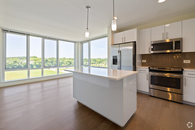
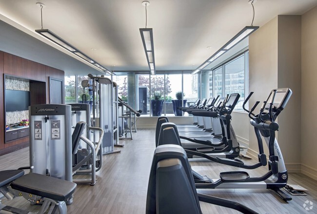
You May Also Like
Similar Rentals Nearby


What Are Walk Score®, Transit Score®, and Bike Score® Ratings?
Walk Score® measures the walkability of any address. Transit Score® measures access to public transit. Bike Score® measures the bikeability of any address.
What is a Sound Score Rating?
A Sound Score Rating aggregates noise caused by vehicle traffic, airplane traffic and local sources
353 Whiting Ave
Dedham, MA 02026